


Winter hike along the Schwarzwasserbach to Walserschanz
Уровень сложности: 2


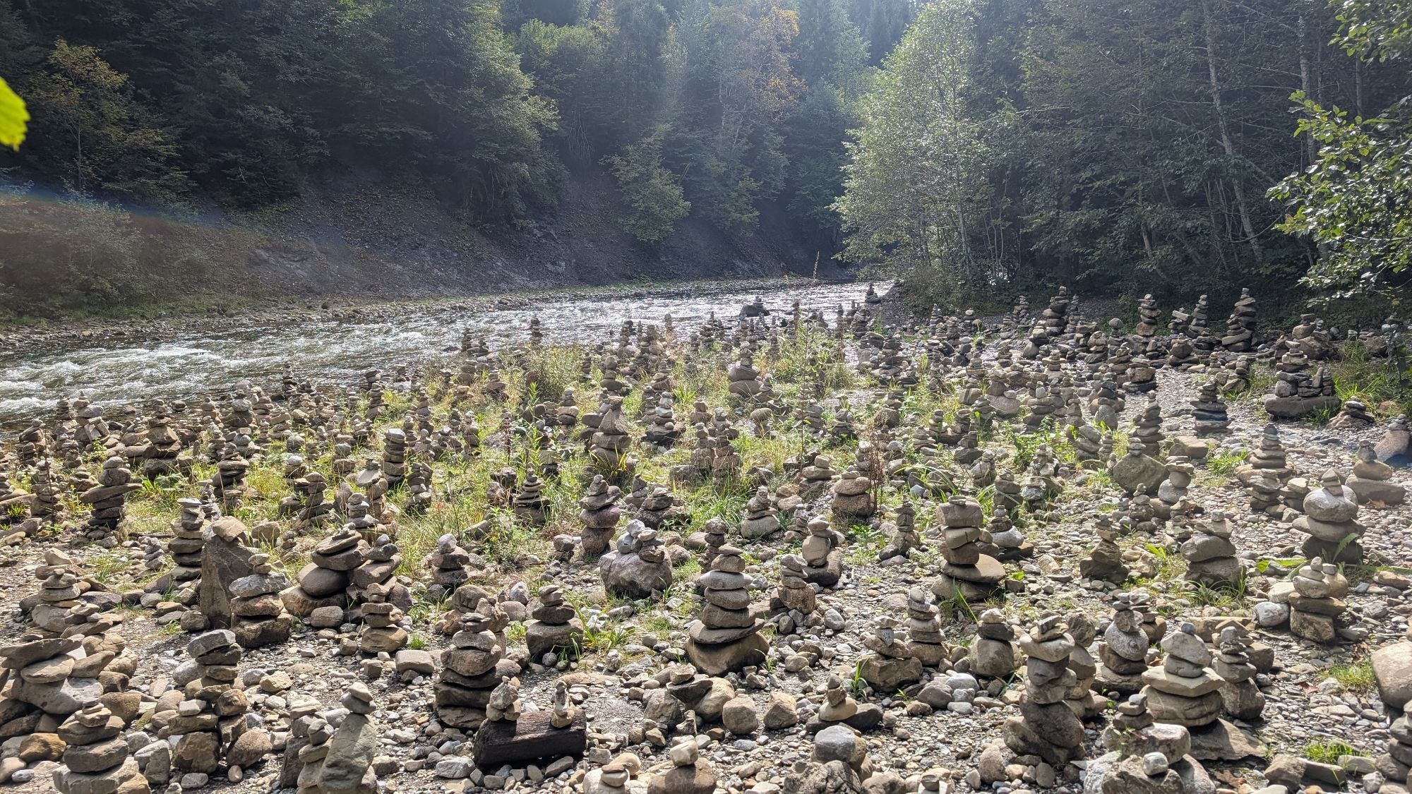
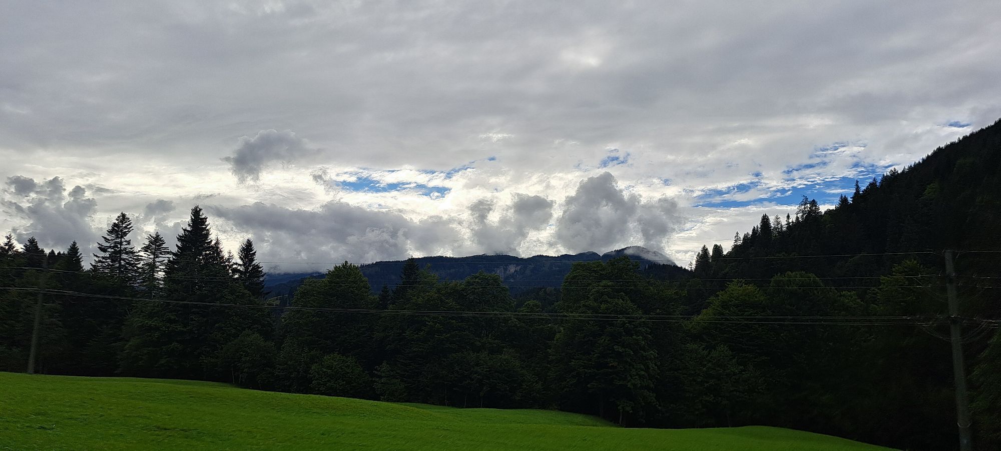
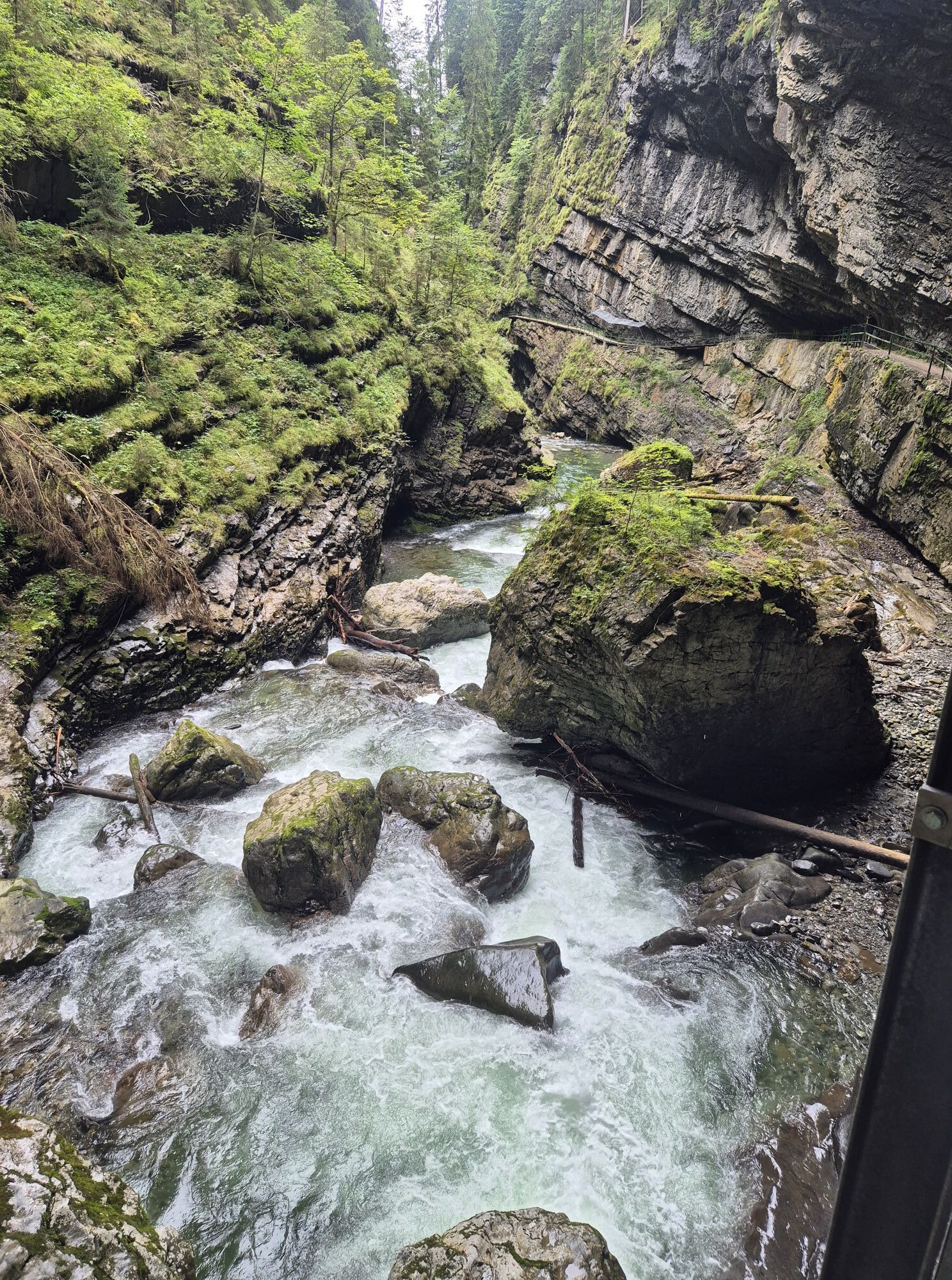
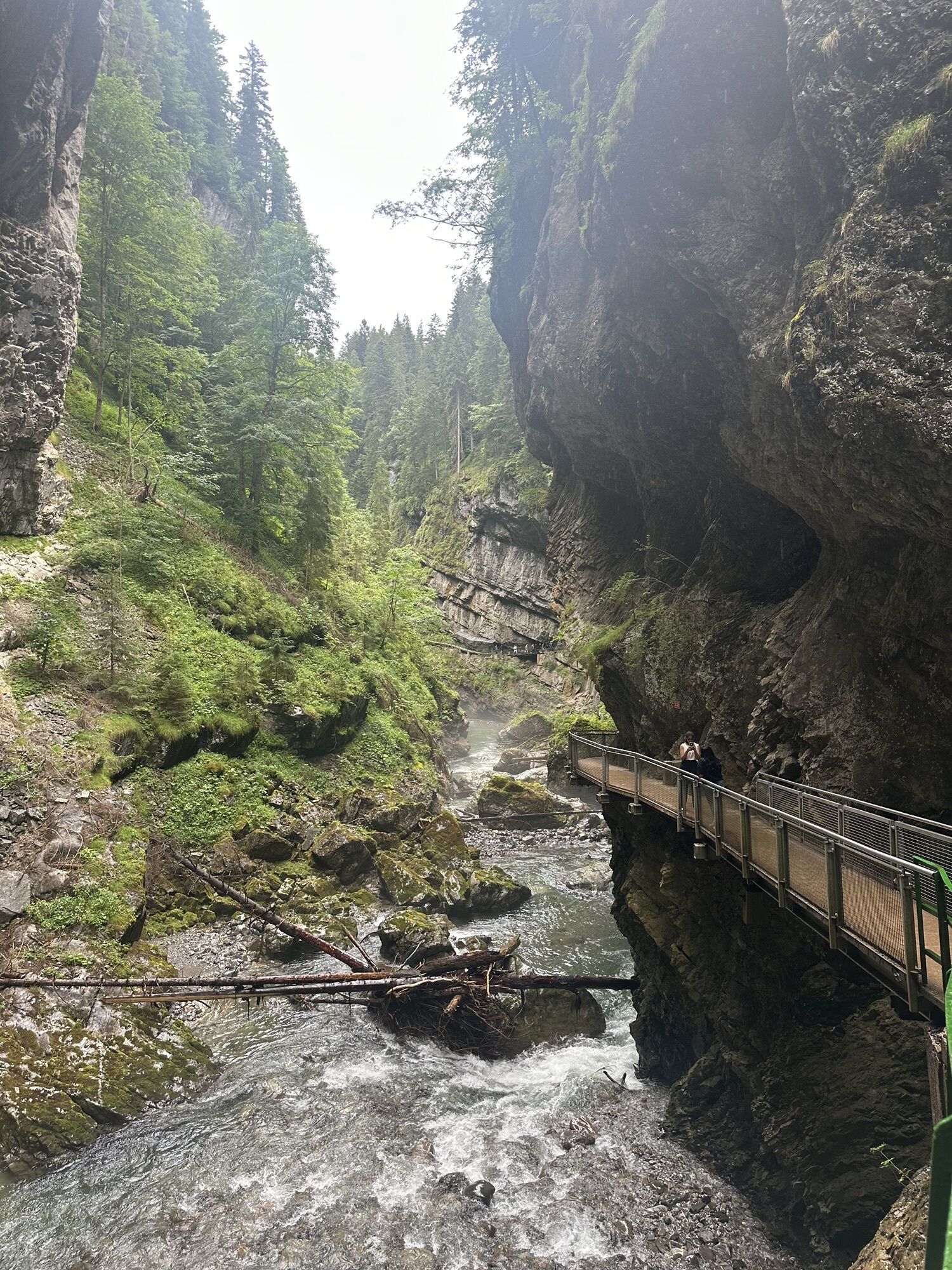
Фотографии наших пользователей
-

 © Raik StrassasСоздано на 05.06.2024
 -
 © Raik StrassasСоздано на 05.06.2024
 -
 © Raik StrassasСоздано на 05.06.2024
 -
 © Raik StrassasСоздано на 05.06.2024
 -
 © Raik StrassasСоздано на 05.06.2024
 -
 © Olaf RöderСоздано на 31.05.2023
 -
 © Meini 04Создано на 01.10.2025
 -
 © Renusch RenuschСоздано на 16.09.2025
 -
 © Jörg HergesСоздано на 02.09.2025
 -

 © JensMСоздано на 01.09.2025
 -
 © Cyrill BischofСоздано на 14.07.2025
 -
 © Cyrill BischofСоздано на 14.07.2025
 -
 © Cyrill BischofСоздано на 14.07.2025
 -
 © Cyrill BischofСоздано на 14.07.2025
 -
 © Cyrill BischofСоздано на 14.07.2025
 -
 © Jürgen SpitzkopfСоздано на 12.07.2025
 -
 © Jürgen SpitzkopfСоздано на 12.07.2025
 -
 © René KozlowskiСоздано на 30.06.2025
 -
 © WanderMausСоздано на 01.05.2025
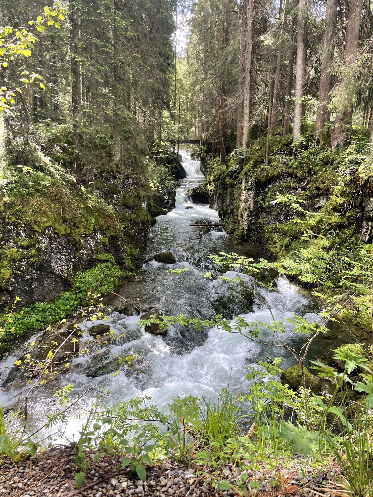

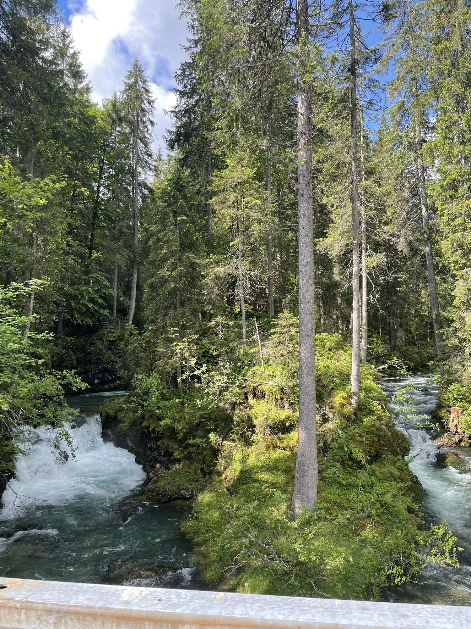
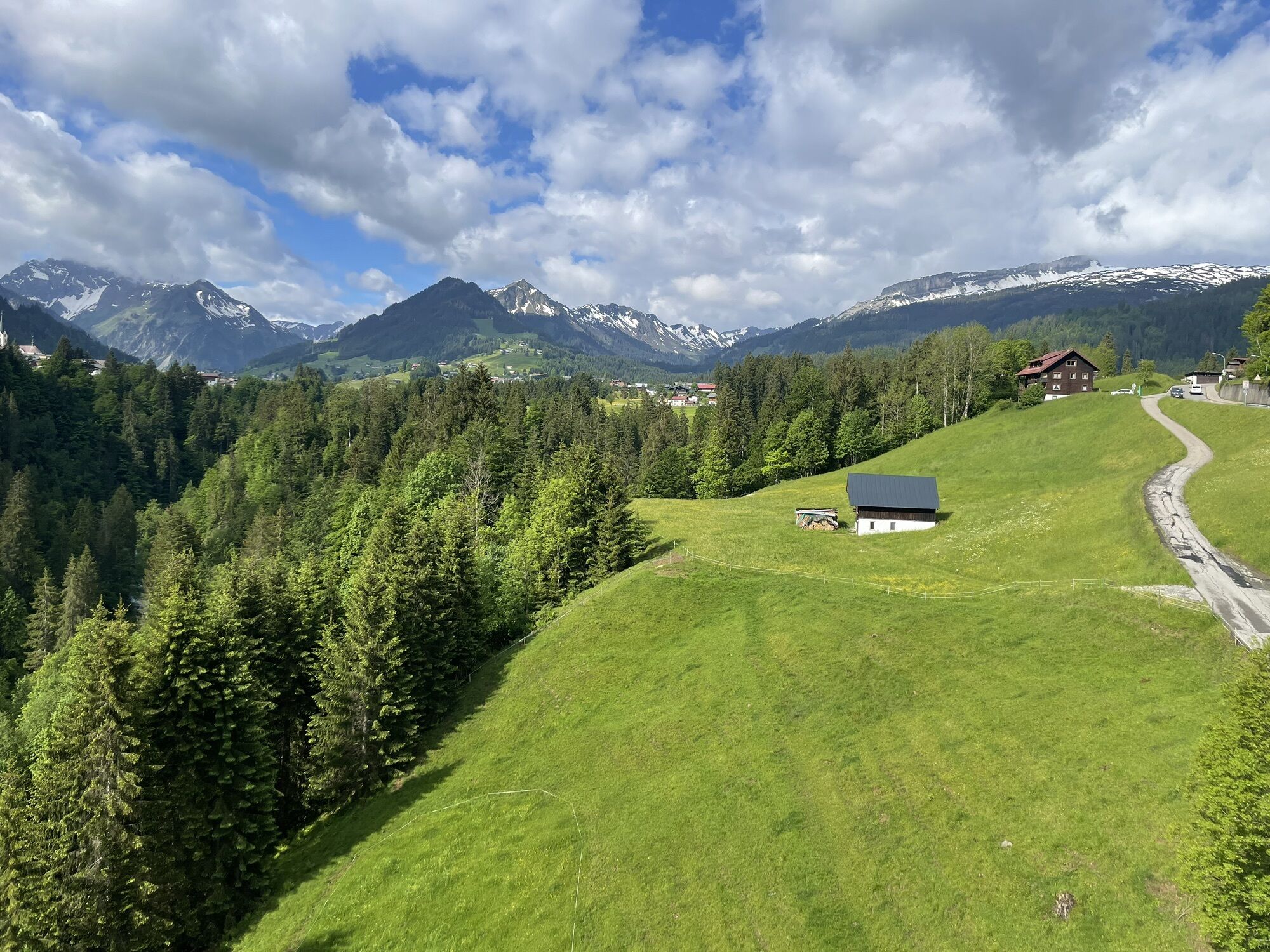


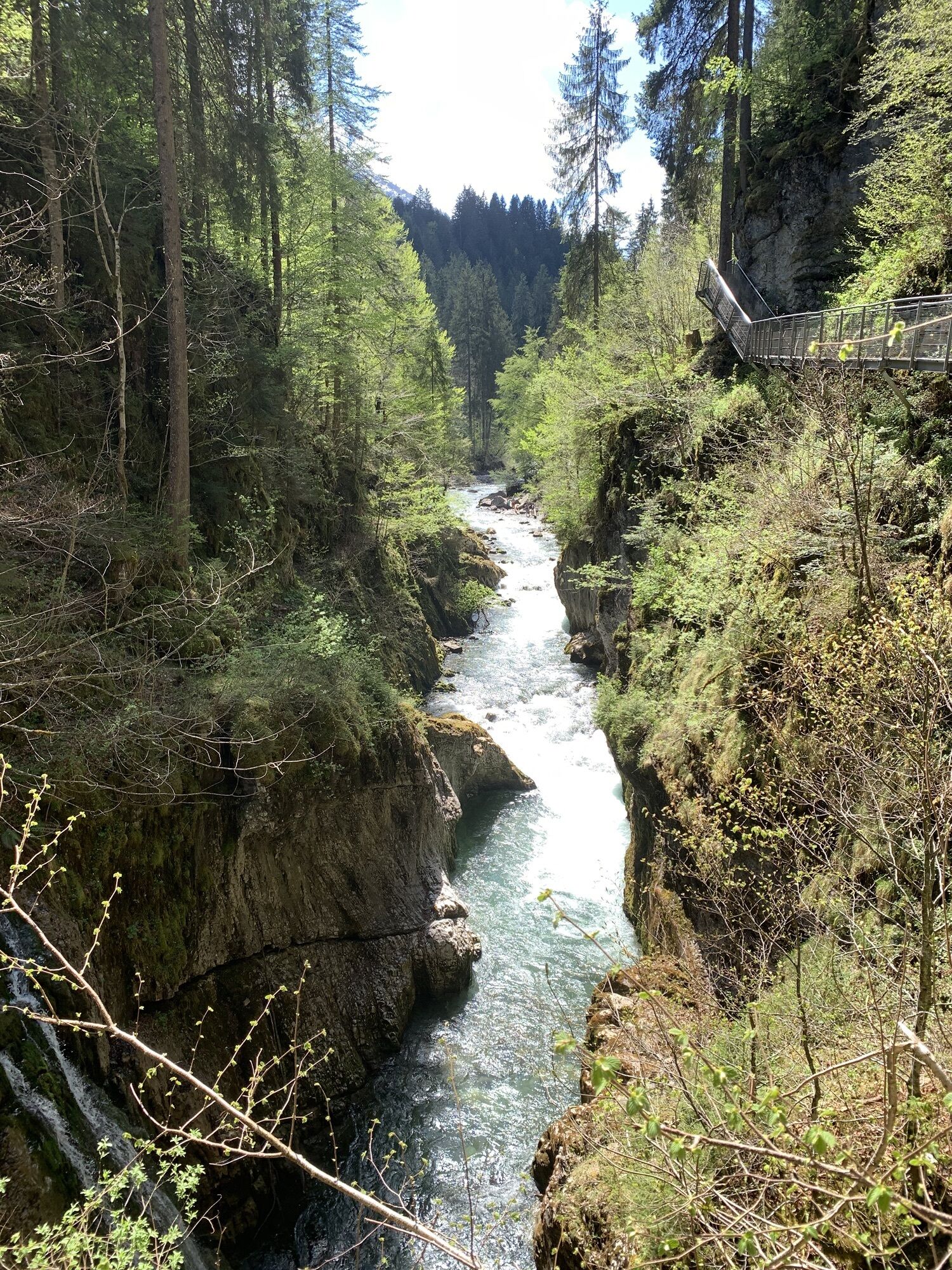
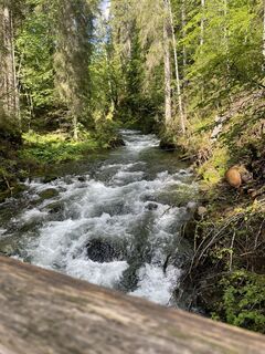
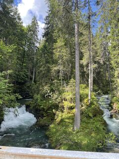
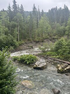
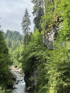
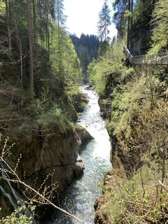
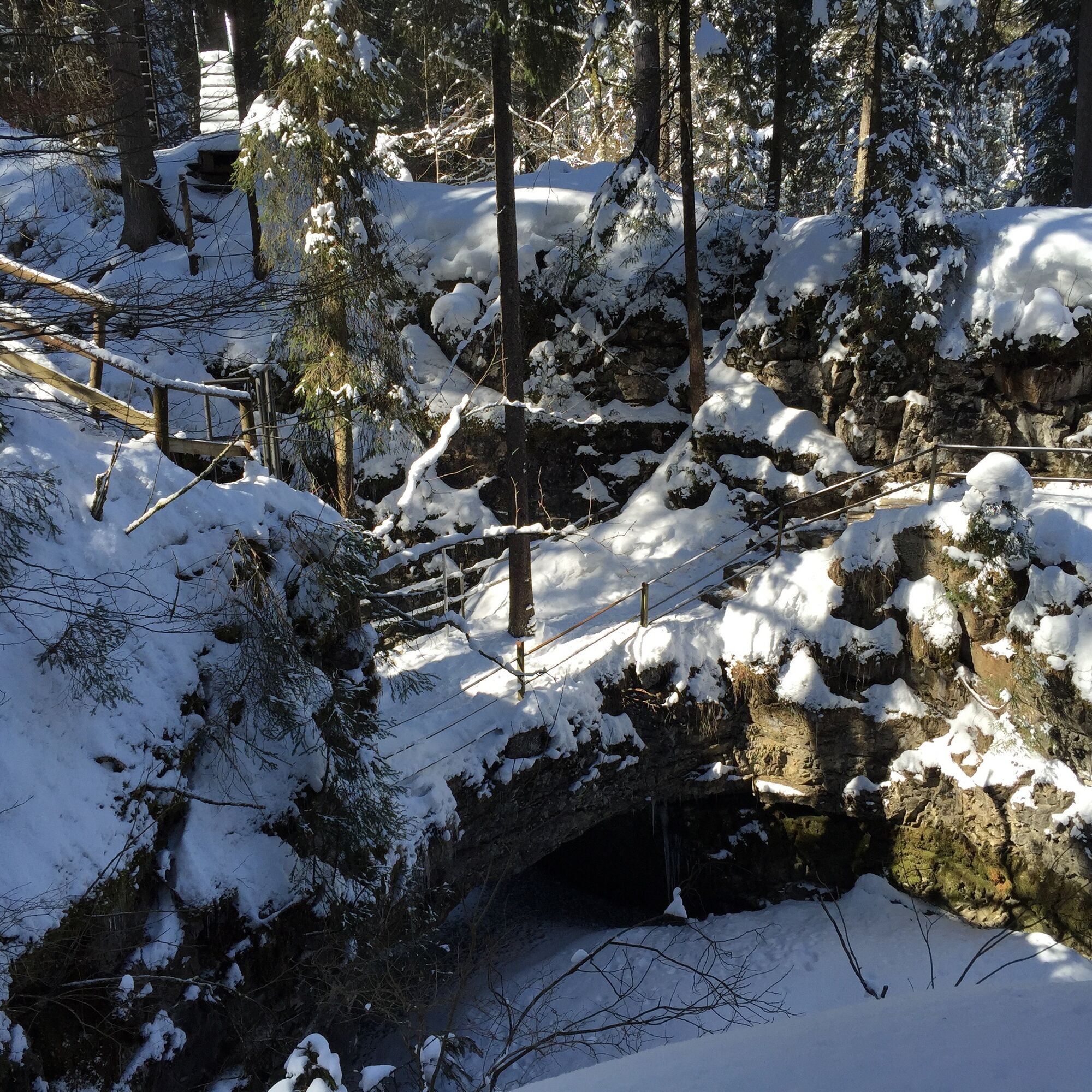
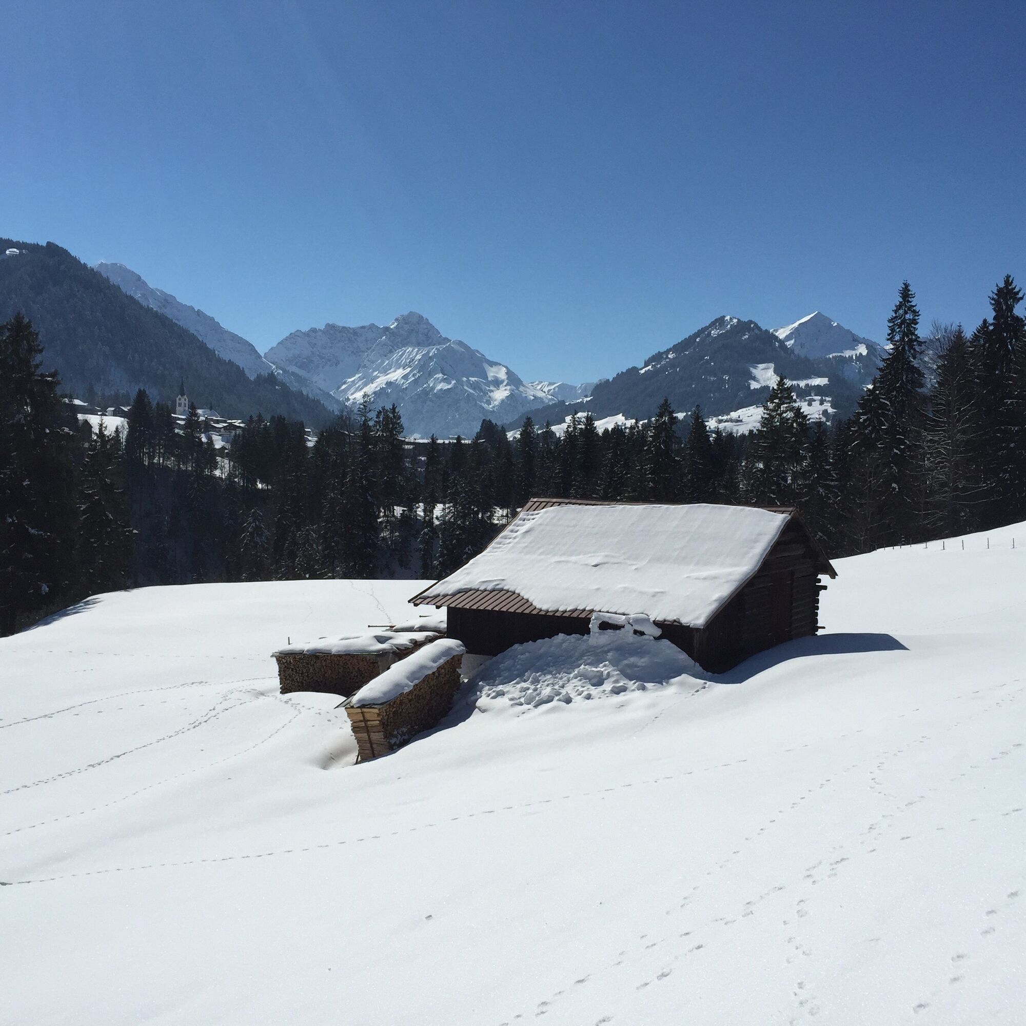
This winter hike leads from Hirschegg along the Schwarzwasserbach to Walserschanz. The natural bridge, the Hochmoor Höfle, as well as panoramic views from Nebelhorn to Widderstein make this winter hike...
This winter hike leads from Hirschegg along the Schwarzwasserbach to Walserschanz. The natural bridge, the Hochmoor Höfle, as well as panoramic views from Nebelhorn to Widderstein make this winter hike particularly varied.
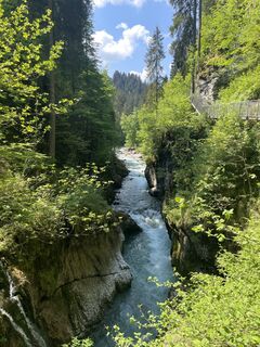
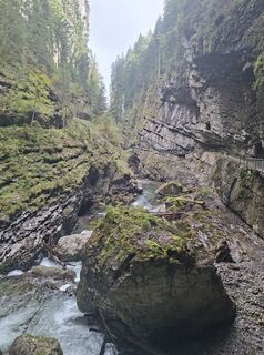
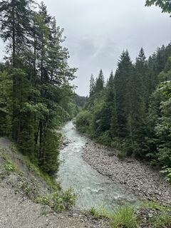
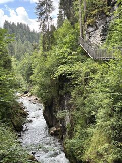
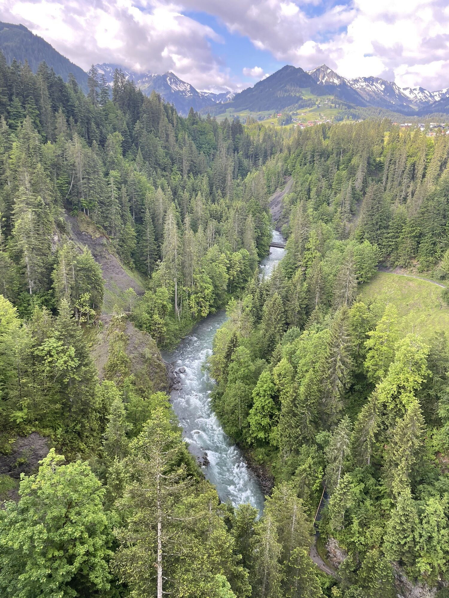
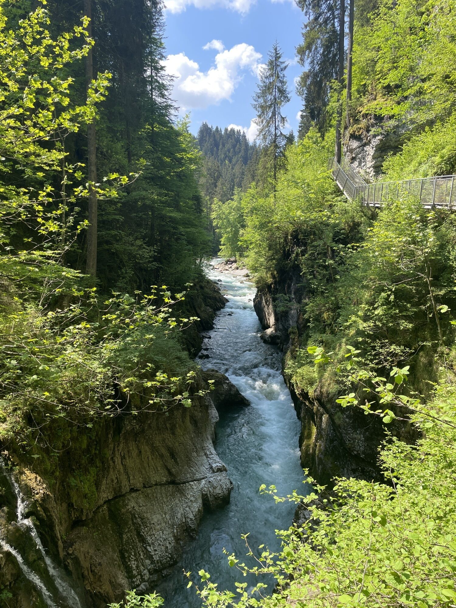
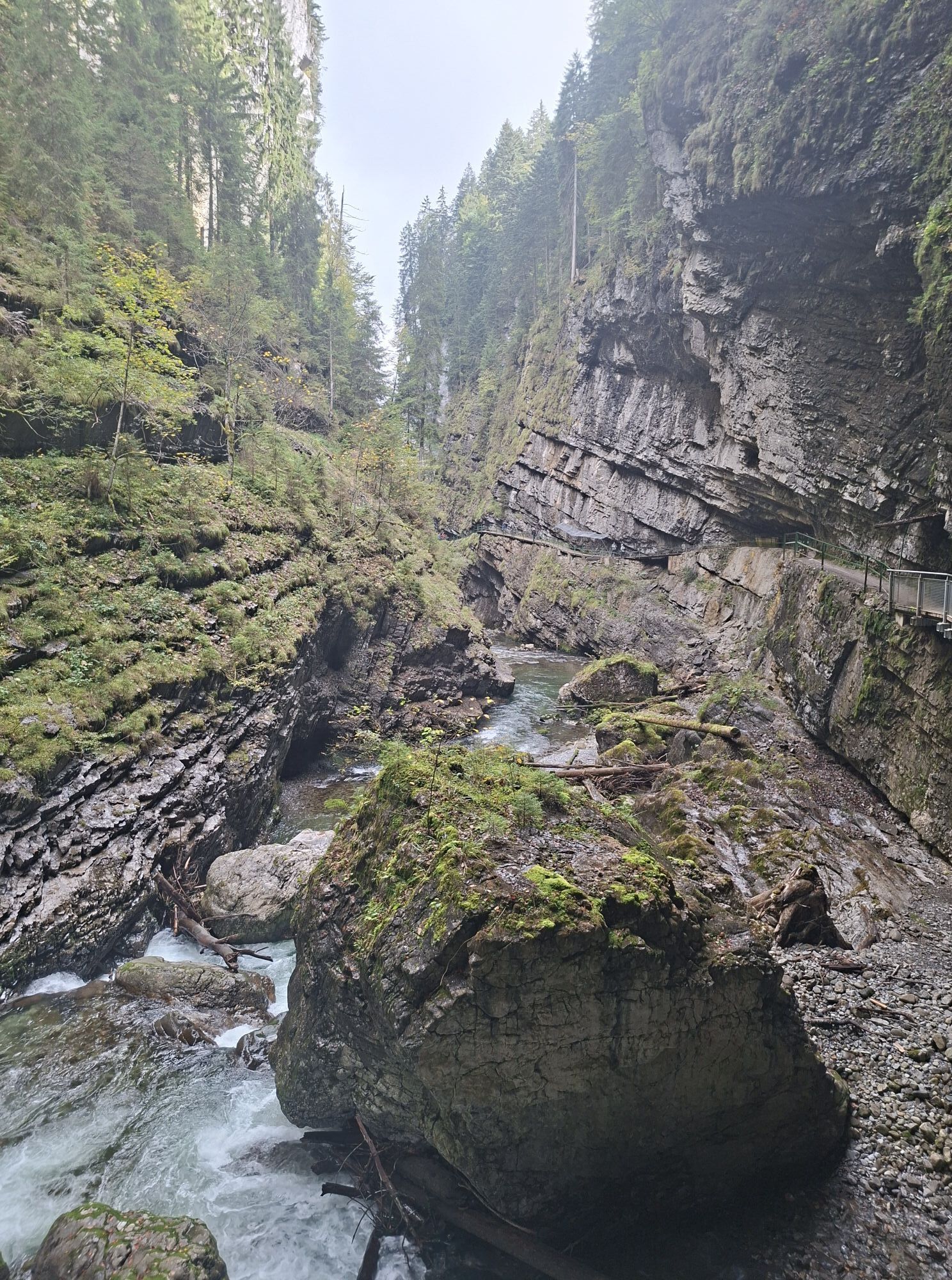
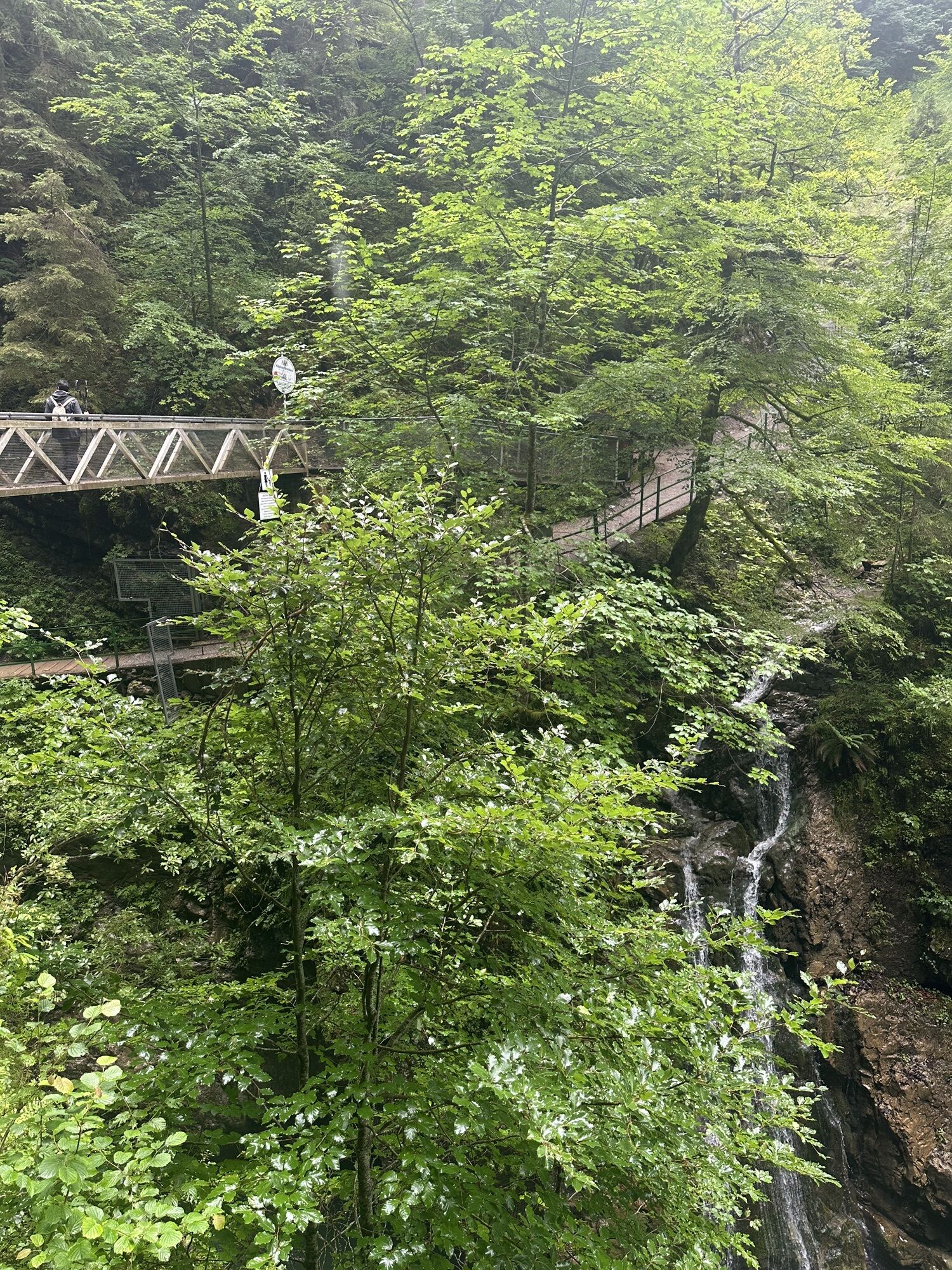
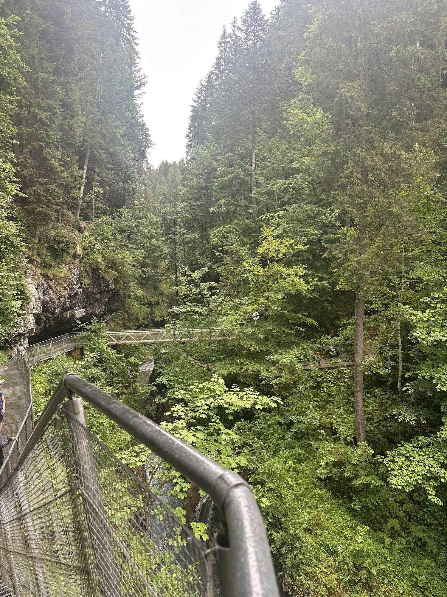
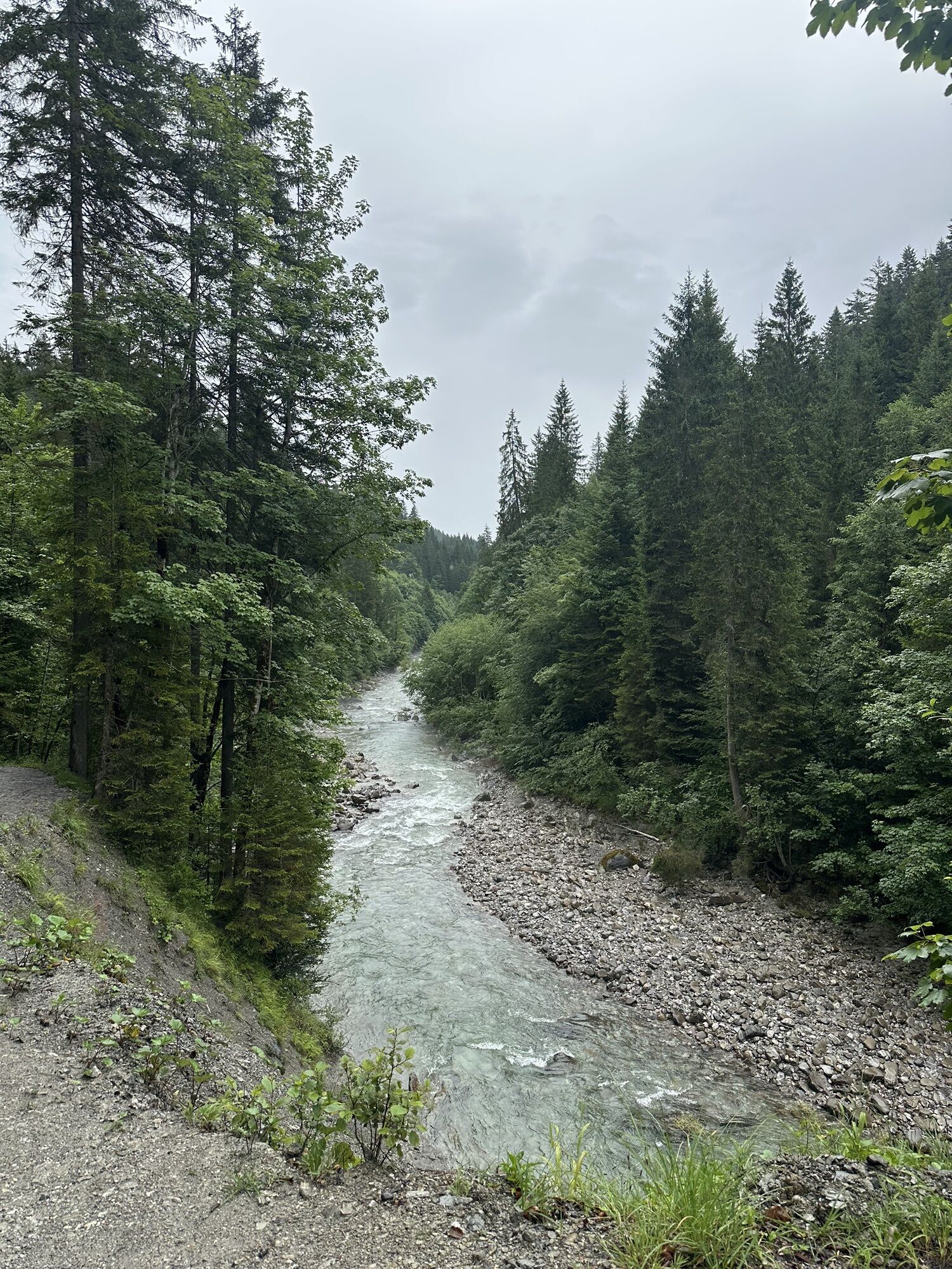
From the starting point at Sportplatz Au, the prepared winter hiking trail leads downstream to the Schwarzwasserbach. This is crossed via the natural bridge, a naturally formed rock bridge covered with fir trees. Along the Karolinenweg, you pass a waterfall through the forest until reaching the Hochmoor Höfle. Over the Höfle bridge, the route continues on the Schwarzwasserbach path along the Schwarzwasserbach through the Jägerwinkel, where the Schwarzwasserbach flows into the Breitach. After some bends, the trail goes under the Schwendebrücke into Außerschwende. From Hotel Sonnenburg, a prepared winter trail continues towards Straußberg, where the highest point of the route is reached. Passing Schmalzloch, Fuchsloch, and Fuchsloch-Alpe, the trail steeply descends through the forest to the Breitach. Further towards Walserschanz, following the course of the Breitach to the entrance of the Breitachklamm. From here to Walserschanz, the path climbs steeply to the main road. From there, the Walserbus returns to the valley towns or the starting point of the route.
The winter hike can be shortened by about half an hour by hiking from the Breitachweg via the Waldhaus to the Waldhaus bus stop.


Hirschegg / Wäldele, Sportplatz Au - Kesselschwand - Hochmoor Höfle - Jägerwinkel - Außerschwende - Straußbergweg - Schmalzloch - Fuchsloch - Breitach Trail - (alternative exit via Waldhaus) - Walserschanz
Да
Да
Sturdy footwear and weather-appropriate clothing. Hiking poles recommended for steeper sections.
144 Alpine emergencies Vorarlberg
112 European emergency number (works with any mobile phone/network)
Most routes from Germany meet in Ulm and continue on the A7. At the Allgäu motorway interchange, take the A980 section to the Waltenhofen junction and then the four-lane B19 via Sonthofen and Oberstdorf into the Kleinwalsertal. From Austria (Vorarlberg) and Switzerland, the Kleinwalsertal is reached via the Bregenzerwald (Hittisau) – Riedberg Pass – Fischen – Oberstdorf. From Tyrol, the fastest way is via the A7 to Kempten and then on the B19 towards Oberstdorf. No motorway vignette is required for driving into the valley.
Starting point of the route: Walserbus line 3, Sportplatz Au bus stop
Return from Walserbus line 1, Walserschanz bus stop
Paid parking at Sportplatz Au
2
This winter hiking trail runs in sections close to the Schwarzwasser cross-country ski trail and the Schwendel trail. Cross-country skiers and winter hikers show consideration for each other here. Hikers do not enter the prepared ski trails but use the prepared winter hiking paths.
Close to the hiking trail runs the challenging Schwarzwasser cross-country ski trail and the panoramic Schwendel trail. A must for cross-country skiers to try one of the two trails during their winter vacation.
About halfway along the route, there are places to stop for refreshments at Hotel Sonnenburg and at the Bergblick inn.
Веб-камеры во время экскурсии
-
Bergstation Kanzelwandbahn Riezlern
-
Fellhornbahn Station Schlappoldsee
-
Fellhornbahn Gipfelstation
-
Hahnenköpflebahn Bergstation / Ifenbergbahn
-
Fellhorn/Oberstdorf Kleinwalsertal
-
Zaferna Bergstation
-
Riezlern - Kinderland
-
Wildentalhütte
-
Riezlern Unterwestegg - Gästehaus Almenrausch
-
Hirschegg - Hotel Walserhof
-
Hirschegg - Hotel Birkenhöhe
-
Mittelberg Bödmen - Hotel Alte Krone
-
Mittelberg - Haus Walser Berge
-
Möserbahn Berg
-
Möserbahn Berg
-
Möserbahn Berg
-
Möserbahn Berg
-
Möserbahn Berg
-
Söllereck / Oberstdorf
-
Oberstdorf Langlaufstadion
-
Oberstdorf
-
Oberstdorf
-
Oberstdorf
-
Oberstdorf Tiefenbach
-
Kornau / Oberstdorf - Ringhotel Nebelhornblick
-
Oberstdorf - Hotel Mohren
-
Kanzelwand / Fellhorn
-
Hirschegg/Kleinwalsertal
-
Hirschegg/Kleinwalsertal
-
Naturbad Freibergsee
-
Heini-Klopfer-Skiflugschanze
-
Fellhorn
-
Oberstdorf - Scheibenhaus
-
Mittelberg - Gästehaus Otto Fritz
-
Hochleite - Stillachtal
-
Hochleite
-
Bannholzhof
-
Fellhorn/Oberstdorf Kleinwalsertal
-
Fellhorn/Oberstdorf Kleinwalsertal
-
Fellhorn/Oberstdorf Kleinwalsertal
Популярные экскурсии по окрестностям
-
4,4
Mountain tour over the Fellhorn ridge
среднийПоход 8,24 км -
4,6
Rubihorn
среднийПоход 9,06 км -
3,4
Mountain tour over the Hoher Ifen
тяжелыйПоход 13,9 км -
4,7
Kanzelwand nach Söllereck
среднийПоход 8,58 км -
4,7
Widderstein Runde von Baad
среднийПоход 15,8 км -
4,2
Kanzelwand- Fellhorn- Kanzelwand
светПоход 7,60 км -
4,8
Hindelanger Klettersteig ab Edmund-Probst-Haus + Rückweg
среднийВиа феррата 10,7 км -
4,9
E5 - 1. Etappe: Oberstdorf - Kemptner Hütte
светПешеходная тропа большой протяженности 7,80 км -
4,7
Unterer Gaisalpsee
среднийВысокая экскурсия 8,64 км -
4,8
Round trip Gemstel
светПоход 5,57 км
Походы и трекинг


Не пропустите предложения и вдохновение для вашего следующего отпуска
Ваш адрес электронной почты был добавлен в список рассылки.