Udlingenswil has evolved from a small farming village with a rural character into a pleasant residential and leisure paradise with a high quality of life.
Udligenswil is located in the eastern corner of the canton of Lucerne, on the border with the neighbouring cantons of Schwyz and Zug. The municipality with its sunny terrace lies between 522 m and 839 m above sea level.
Situated on the southern slope...
Udlingenswil has evolved from a small farming village with a rural character into a pleasant residential and leisure paradise with a high quality of life.
Udligenswil is located in the eastern corner of the canton of Lucerne, on the border with the neighbouring cantons of Schwyz and Zug. The municipality with its sunny terrace lies between 522 m and 839 m above sea level.
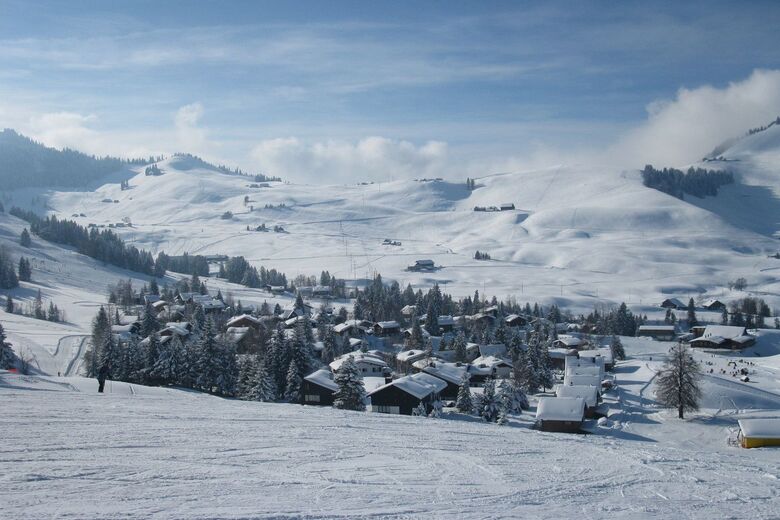
Situated on the southern slope of the Rooterberg, the village offers a wonderful view of the imposing mountains of Central Switzerland. Udligenswil is characterised by its lovely character.
Numerous hiking trails lead through a varied, hilly area with charming fields and forests. The Würzenbach stream, which flows into Lake Lucerne in Lucerne (at the Lido), has its source in the centre of the municipality.
Свяжитесь с нами


Горнолыжные курорты в окрестностях
-
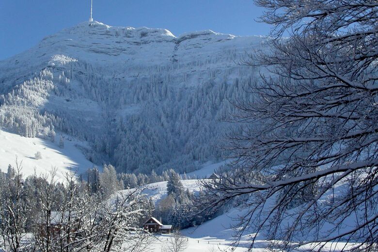
Seebodenalp
Luzern - Vierwaldstättersee
-
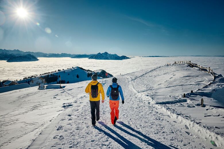
Rigi
Luzern - Vierwaldstättersee
-
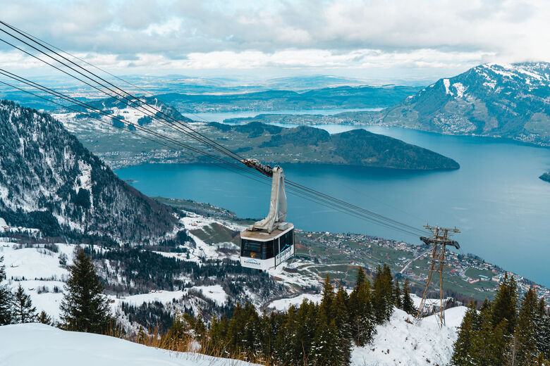
Klewenalp
Luzern - Vierwaldstättersee
-
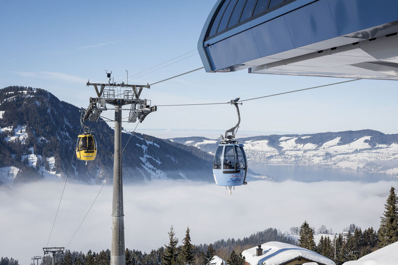
Hochstuckli
Luzern - Vierwaldstättersee
-
Dallenwil
Luzern - Vierwaldstättersee
-

Gitschenen
Luzern - Vierwaldstättersee
-

Stoos
Luzern - Vierwaldstättersee
-

Brunni
Luzern - Vierwaldstättersee
-

Brunni
Luzern - Vierwaldstättersee
-

Mythenregion
Luzern - Vierwaldstättersee


Походы и трекинг




Не пропустите предложения и вдохновение для вашего следующего отпуска
Ваш адрес электронной почты был добавлен в список рассылки.


