Right in the centre of continental Croatia is the town of Ogulin. It has developed in a wide valley 323 m above sea level just where two rivers flow the River Dobra and Zagorska Mrežnica.
According to its territorial structure as a unit of local government it covers an area of 542.32 km2 and it is an integral part of the County of Karlovac. The economic development of Ogulin is based on forestry and...
Right in the centre of continental Croatia is the town of Ogulin. It has developed in a wide valley 323 m above sea level just where two rivers flow the River Dobra and Zagorska Mrežnica.
According to its territorial structure as a unit of local government it covers an area of 542.32 km2 and it is an integral part of the County of Karlovac. The economic development of Ogulin is based on forestry and timber processing, agriculture, tourism and handicrafts.
Свяжитесь с нами

Горнолыжные курорты в окрестностях


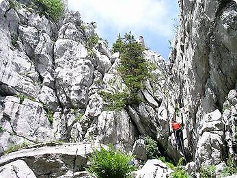

Походы и трекинг


Не пропустите предложения и вдохновение для вашего следующего отпуска
Ваш адрес электронной почты был добавлен в список рассылки.