


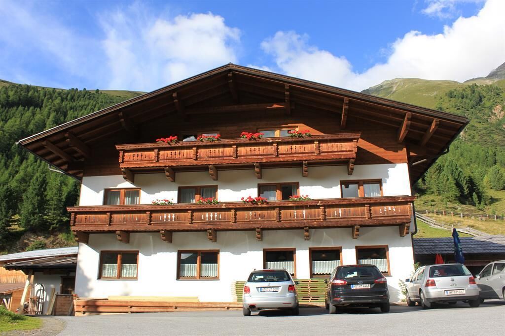
Almhof Mareil


The starting point is the parking lot at the beginning of the village of Ochsengarten. You stroll through the village and after the Bergland inn, turn right onto Bienenweg. Through the forest, it goes...
The starting point is the parking lot at the beginning of the village of Ochsengarten. You stroll through the village and after the Bergland inn, turn right onto Bienenweg. Through the forest, it goes leisurely downstream through the woods. You keep heading towards Kühtai until the path leads into the paved federal road. Here you have to walk a few meters on the road and continue over the bridge. On the other side, the path leads left of the river up the steeply rising Höllwiesenweg to Mareil.

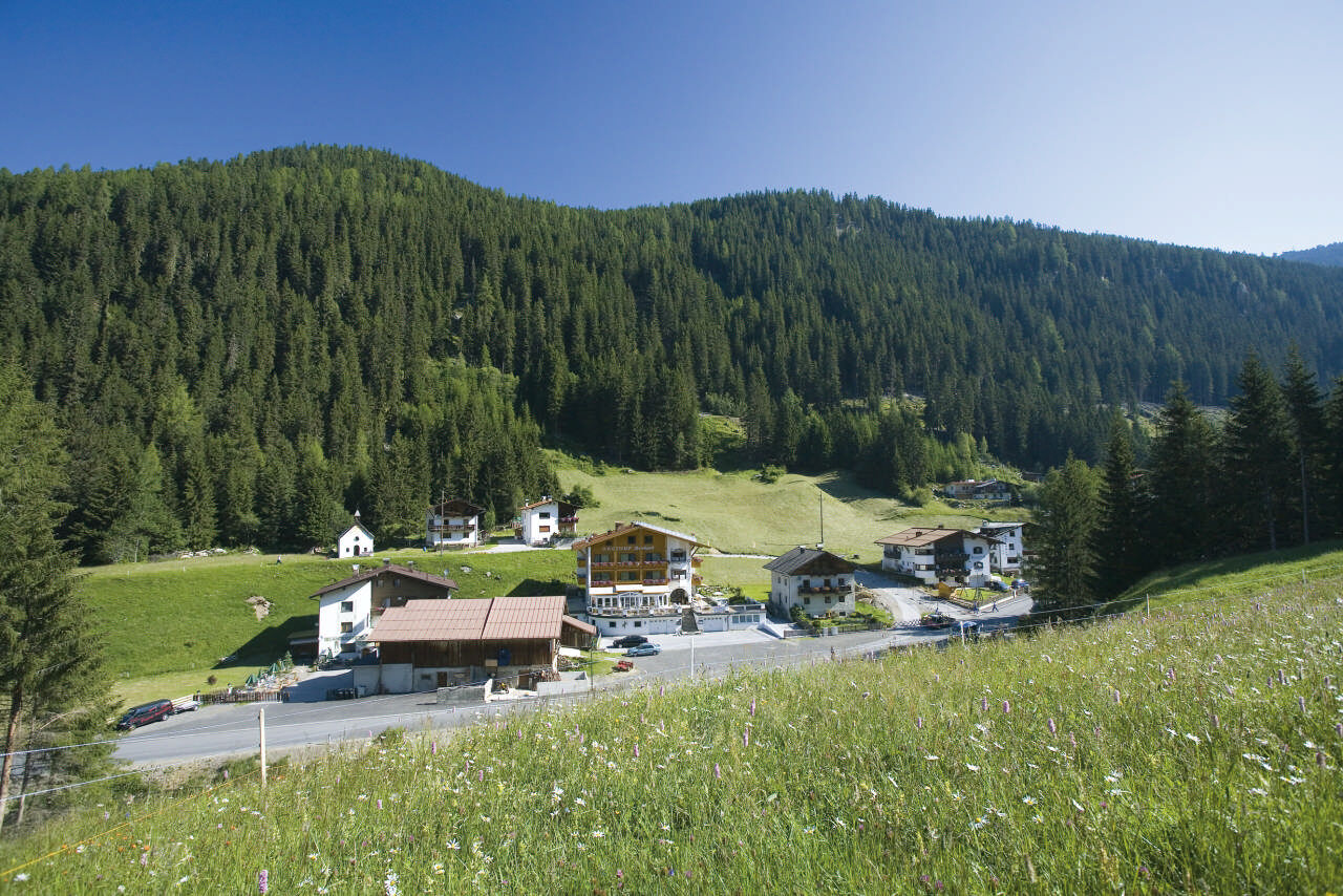
The starting point is the parking lot at the beginning of the village of Ochsengarten. You stroll through the village and after the Bergland inn, turn right onto Bienenweg. Through the forest, it goes leisurely downstream through the woods. You keep heading towards Kühtai until the path leads into the paved federal road. Here you have to walk a few meters back on the road over the bridge. On the other side, the path leads left of the river up the steeply rising Höllwiesenweg to Mareil.
Да
Appropriate equipment such as breathable and weather-adapted outdoor clothing, ankle-high hiking boots, wind, rain, and sun protection, a hat, possibly gloves, is required for all hikes and routes. Carrying a first aid kit, a mobile phone, and possibly a hiking map, as well as sufficient provisions for hikes without a place to stop, is necessary.
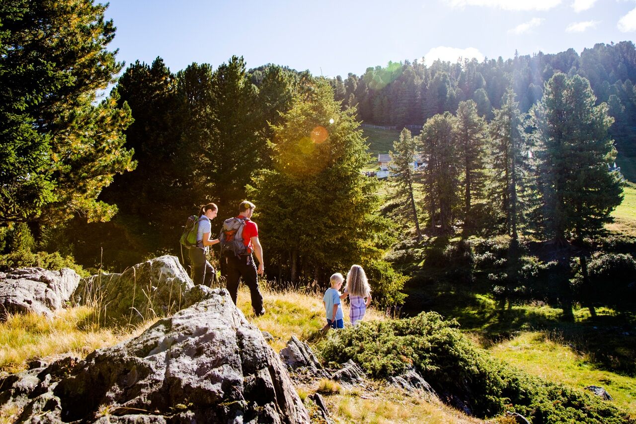
Moderate mountain trail; suitable for sure-footed and experienced mountain hikers; good physical condition, mountain experience, and mountain equipment (see under equipment) necessary. Please check the current weather report at: www.oetztal.com/de/sommer.html
Car journey to ÖTZTAL. Located in Tyrol, the ÖTZTAL branches off to the south as the longest side valley of the Eastern Alps. Traveling by car leads vacationers along the Inn valley to the valley entrance and further up the Ötztal. In addition to the toll motorway, country roads can also be used. Your trip can be quickly and conveniently planned with the route planner: For the route planner: www.google.at/maps
Travel comfortably and safely by train to Ötztal train station. The final stop or exit point is ÖTZTAL station. Afterwards, you travel conveniently and quickly by public transport or local taxi companies through the entire valley to your desired destination! The current bus schedule is available at: http://fahrplan.vvt.at
The following parking options are available in Ochsengarten:
Ochsengarten - large public parking lots – opposite or next to the valley station Ochsengartenbahn Ochsengarten center vis à vis our information office and opposite the GH Bergland Ochsengarten at the village end, towards Kühtai, near the school
More info about hiking in the Ötztal: https://www.oetztal.com/wandern
Веб-камеры во время экскурсии
Популярные экскурсии по окрестностям
-
4,6
Summit route Faltegartenköpfl
среднийПоход 4,04 км -
4,4
Oetz - Piburger See - Oetz
среднийПоход 7,16 км -
4,2
Hike Stuibenfall - Umhausen
светПоход 2,95 км -
4,4
Stuibenfall Umhausen circular hike
светПоход 9,32 км -
5,0
Larstigalm - Niederthai
светПоход 3,24 км -
4,8
Faltegartenköpfl (01)
светСкитур 4,19 км -
4,7
Umhausen - Stuibenfall - Umhausen
среднийПоход 7,94 км -
4,6
Summit route Weather Cross from Hochoetz
среднийПоход 3,06 км -
4,1
Lampsenspitze, Sellrain, Tirol
среднийСкитур 4,97 км -
3,7
Auerklamm
среднийПоход 3,46 км
Походы и трекинг


Не пропустите предложения и вдохновение для вашего следующего отпуска
Ваш адрес электронной почты был добавлен в список рассылки.