


Trail of senses Hochoetz


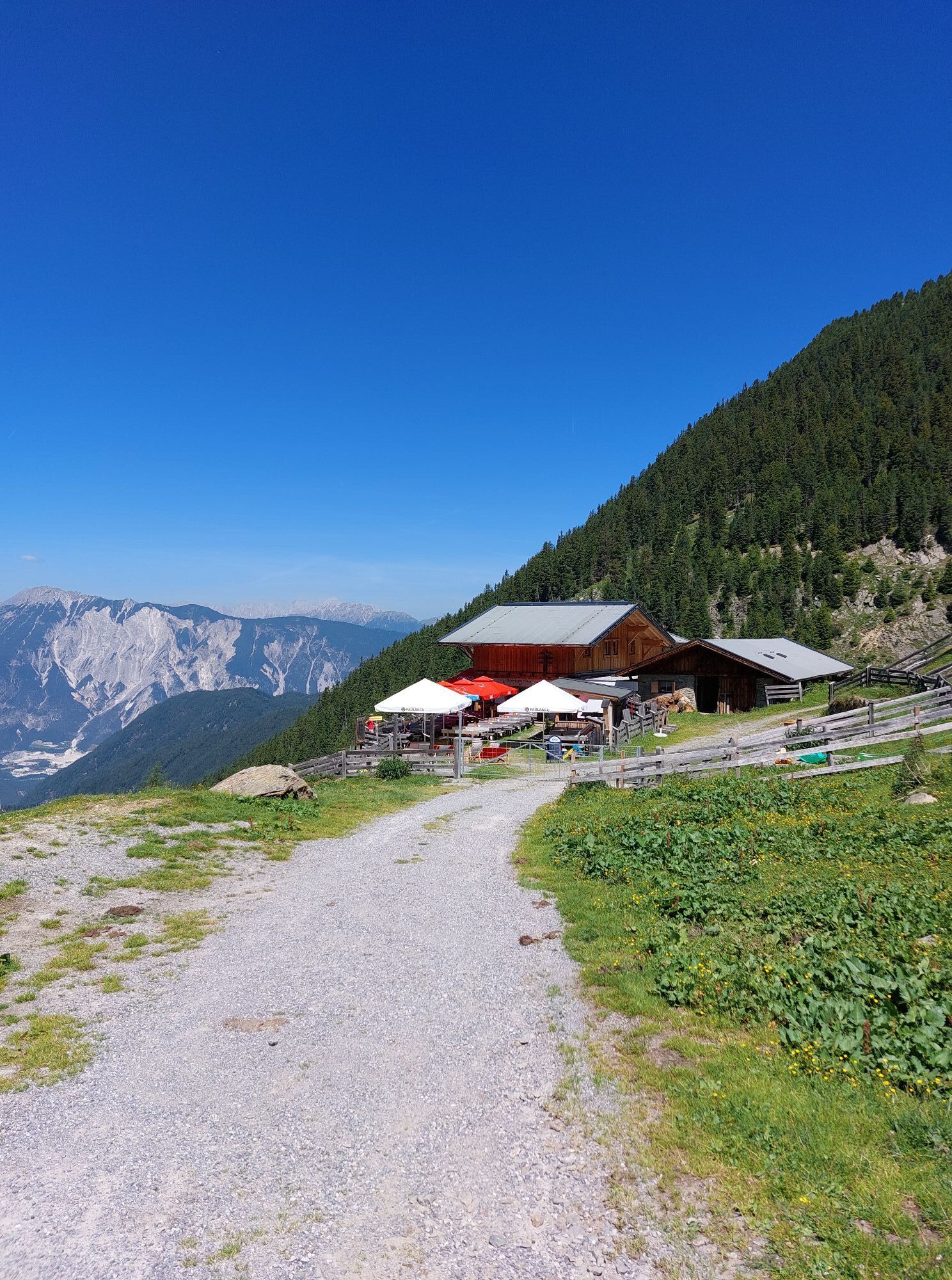
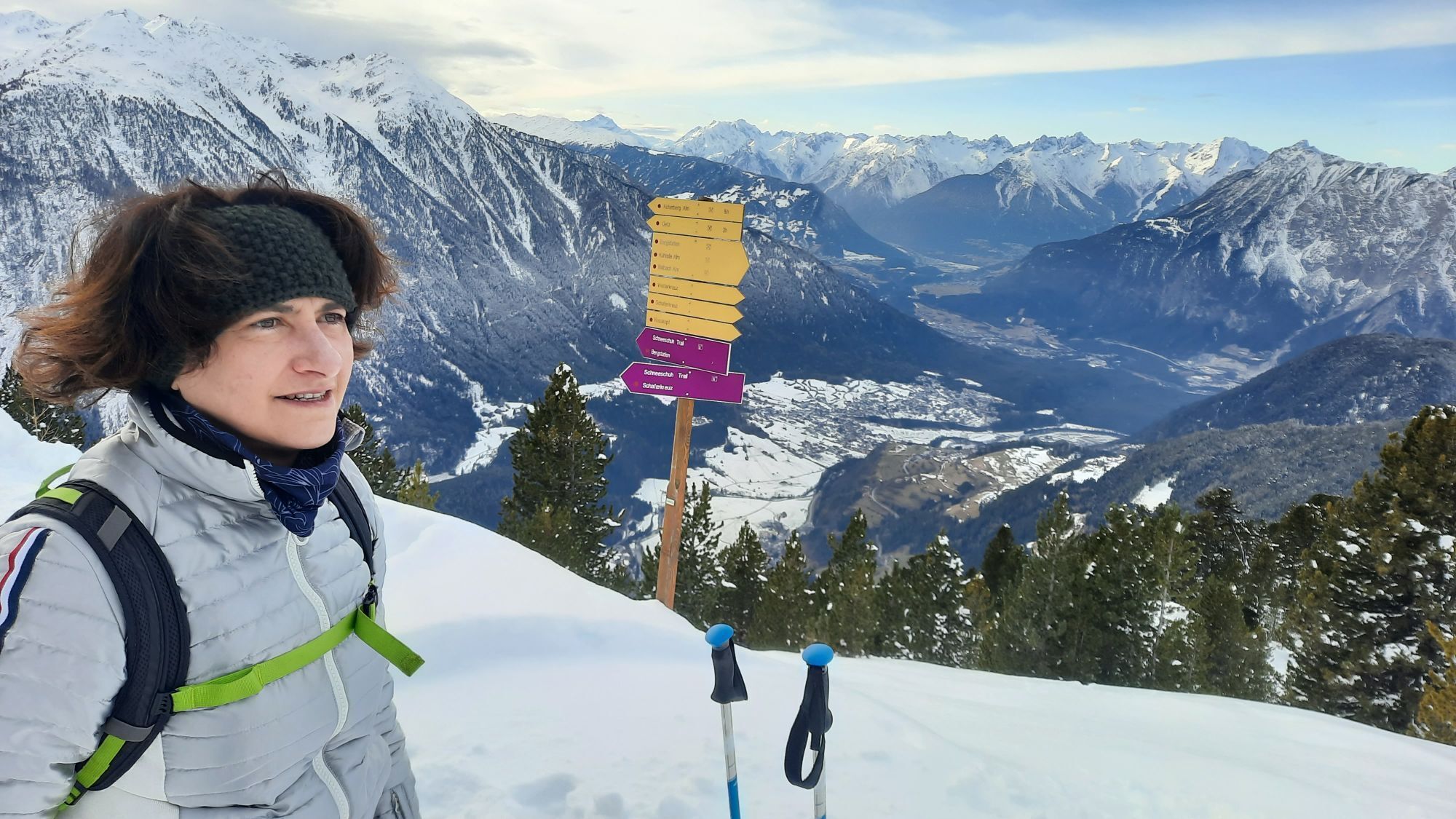
From the Hochoetz top station via Bielefelder Hütte to the "old Bielefelder Hütte" (decayed), on the beautiful descending trail to Acherbergalm (1893 m) and back to the top station.


From the Hochoetz top station via Bielefelder Hütte to the "old Bielefelder Hütte" (decayed), on the beautiful descending trail to Acherbergalm (1893 m) and back to the top station.
Да
Да
Appropriate equipment such as breathable suitable outdoor clothes for the weather, ankle-high walking boots, wind-, rain- & sun protection, hat, possibly gloves, is for all hikes and tours necessary. Please bring a first-aid box, a mobile phone, a walking map and if there is no hut on the way a snack and enough to drink.
Moderate mountain trail; for sure-footed and experienced hikers. Good physical condition, mountain experience & mountain equipment (see notice equipment) necessary. Please pay attention to the current weather report: www.oetztal.com
The car drive to the Ötztal valley. Situated in Tirol, the Ötztal valley set off in southerly direction and is the longest side valley in the Eastern Alps. The journey with the car leads you through the Inntal valley to the entrance of the valley and further on through the valley. Among the toll motorways you can also use the country roads. A route planner will show you the easiest and most convenient way: www.google.at/maps
Enjoy a both comfortable and relaxing train ride to the train station in Ötztal Bahnhof. You get off the train in ÖTZTAL Bahnhof where you change to a public bus or local taxi. The current bus schedule can be found at: http://fahrplan.vvt.at
The following parking facilities are available: Parking Acherkogelbahn - free for guests of the gondola lift, camping prohibited Parking next to the river (at the end of Oetz on the right hand side) – free of charge, but limited parking; camping prohibited Parking Oetz town center- parking fee Parking at night during several days' tours: Parking Oetz town center, the ticket is available at the tourist office Oetz.
Parking at the Ochsengartencable car station. free parking, camping prohibited
More details about hiking in Ötztal: https://www.oetztal.com/wandern
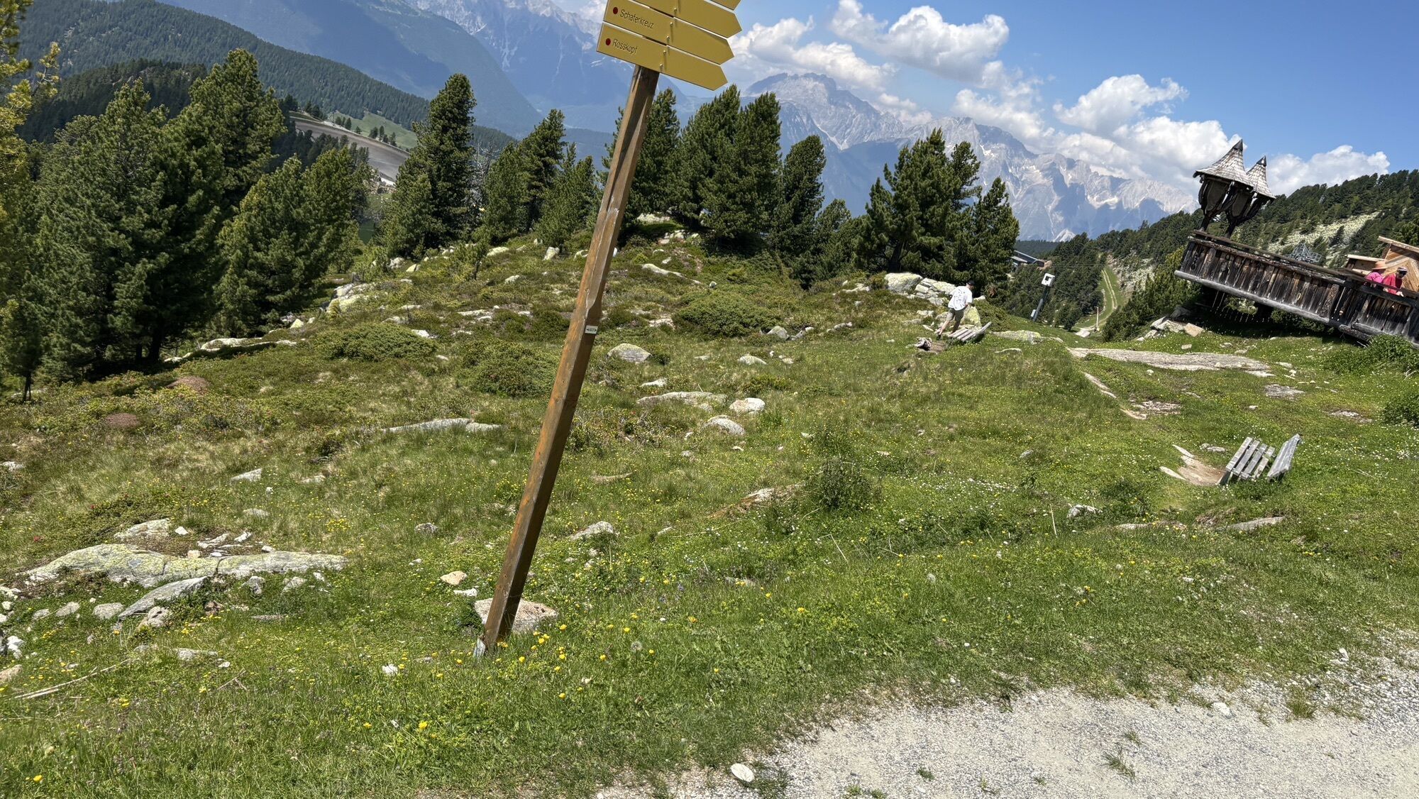
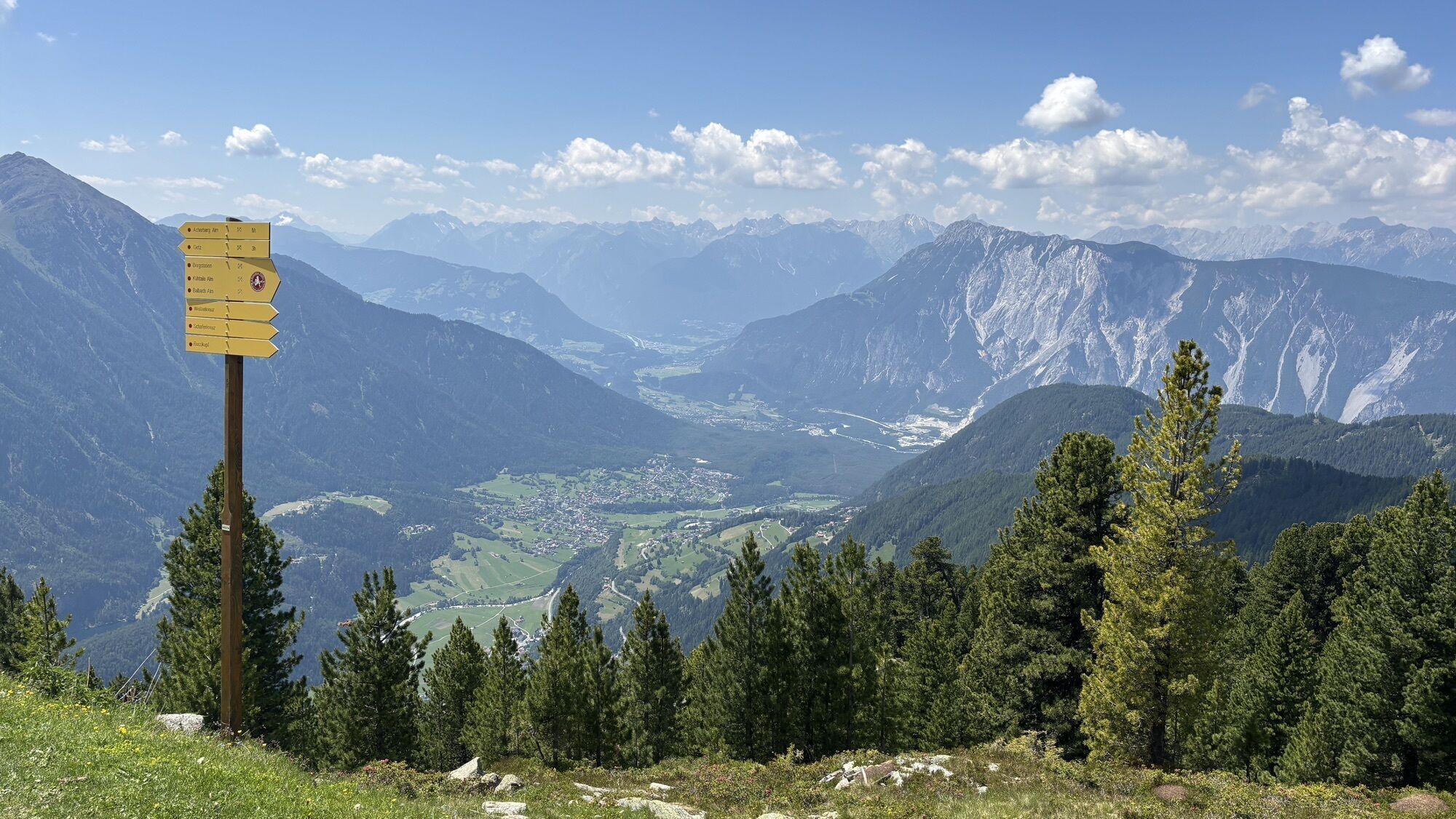
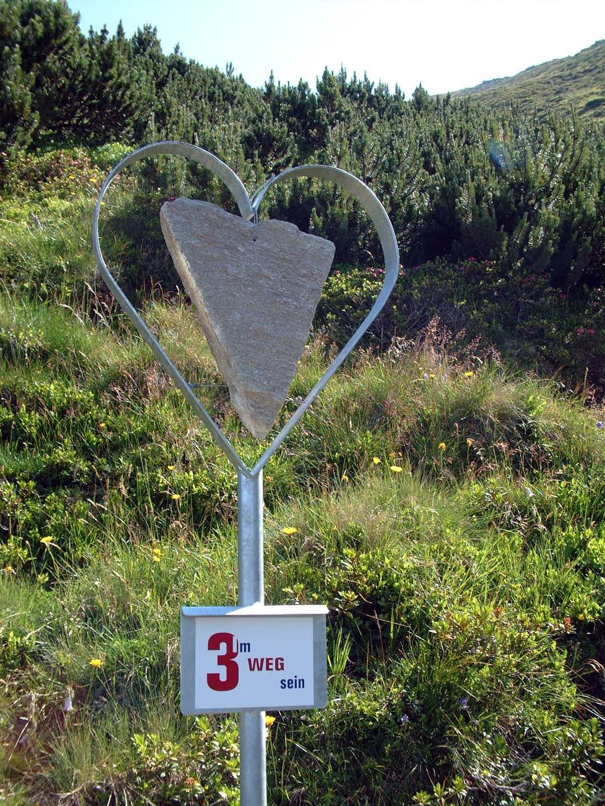
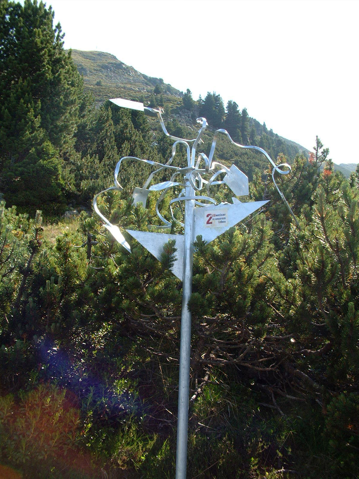
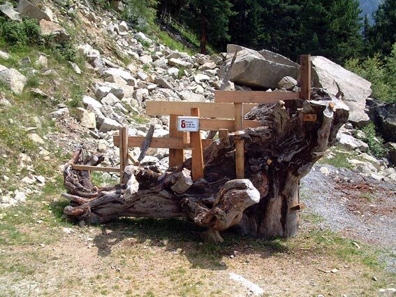
The pupils from the local middle school created the markers along this trek.
Популярные экскурсии по окрестностям
-
4,5
Oetz - Piburger See - Oetz
среднийПоход 7,16 км -
4,6
Summit route Faltegartenköpfl
среднийПоход 4,04 км -
4,2
Hike Stuibenfall - Umhausen
светПоход 2,95 км -
4,4
Stuibenfall Umhausen circular hike
светПоход 9,32 км -
5,0
Larstigalm - Niederthai
светПоход 3,24 км -
4,8
Faltegartenköpfl (01)
светСкитур 4,19 км -
4,7
Umhausen - Stuibenfall - Umhausen
среднийПоход 7,94 км -
4,6
Summit route Weather Cross from Hochoetz
среднийПоход 3,06 км -
4,1
Lampsenspitze, Sellrain, Tirol
среднийСкитур 4,97 км -
3,7
Auerklamm
среднийПоход 3,46 км
Походы и трекинг


Не пропустите предложения и вдохновение для вашего следующего отпуска
Ваш адрес электронной почты был добавлен в список рассылки.