


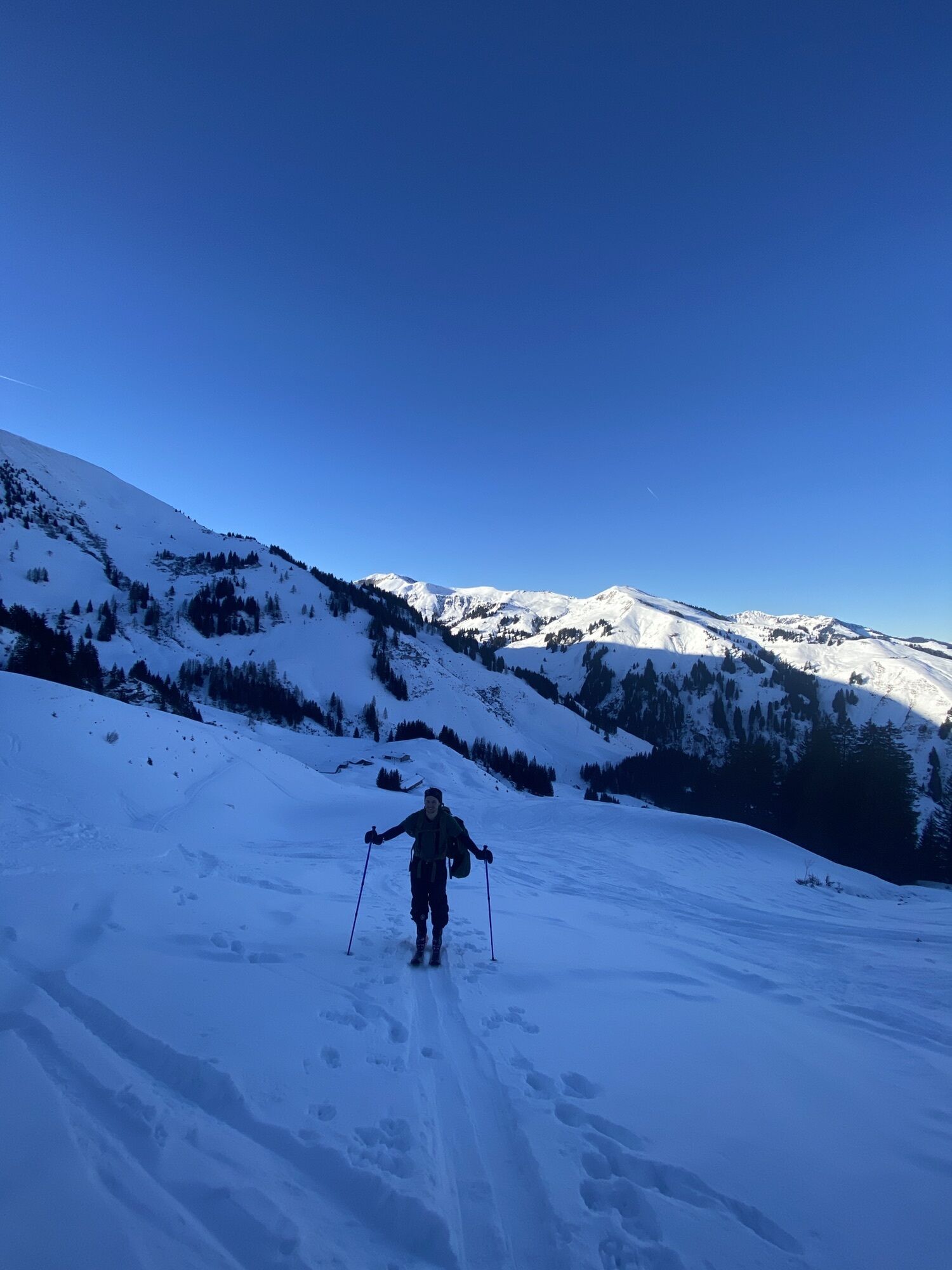
Hintermoos-Jagglhütte circular route


Фотографии наших пользователей
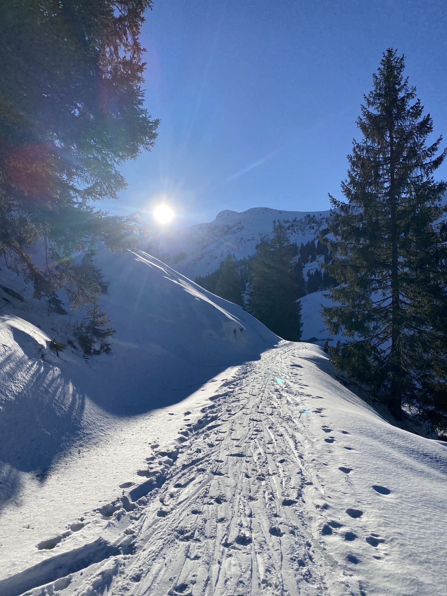
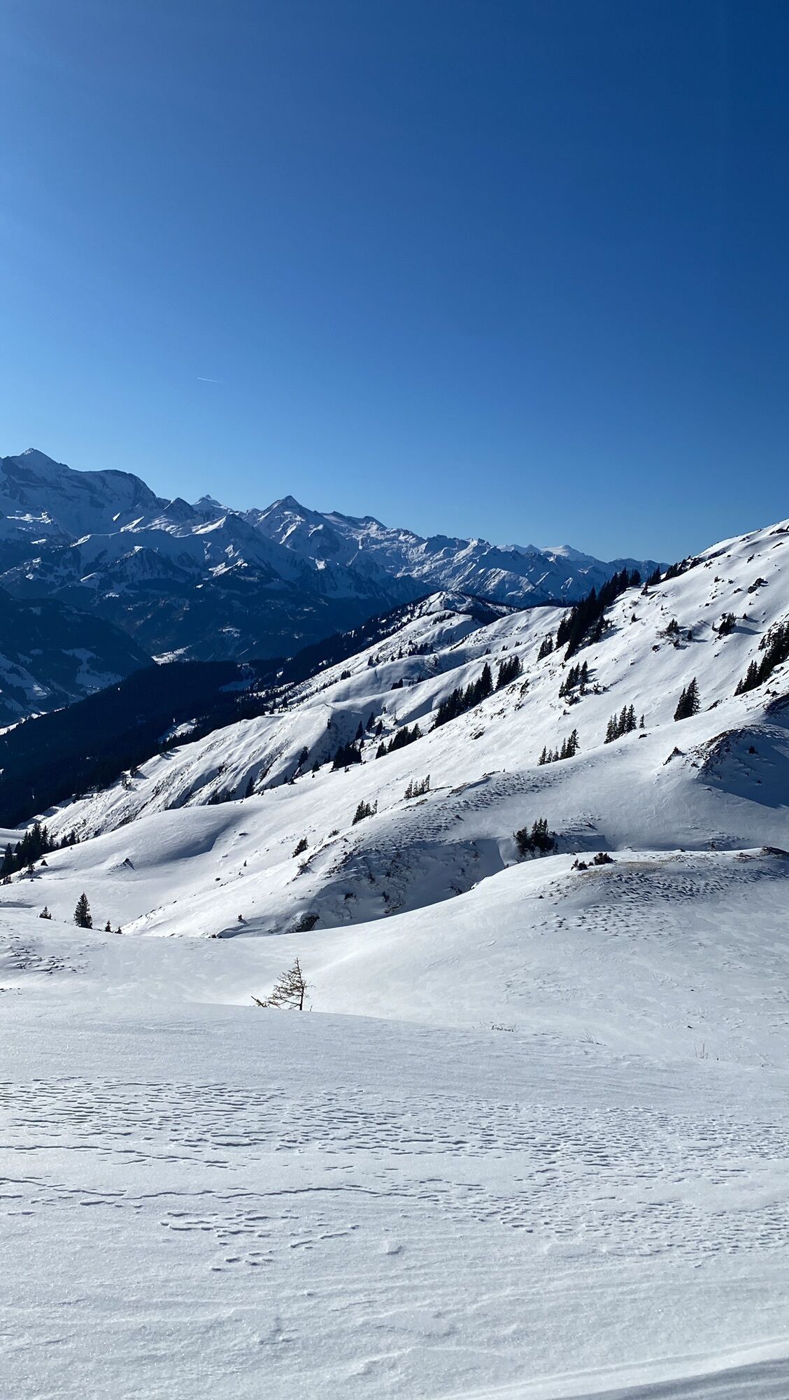
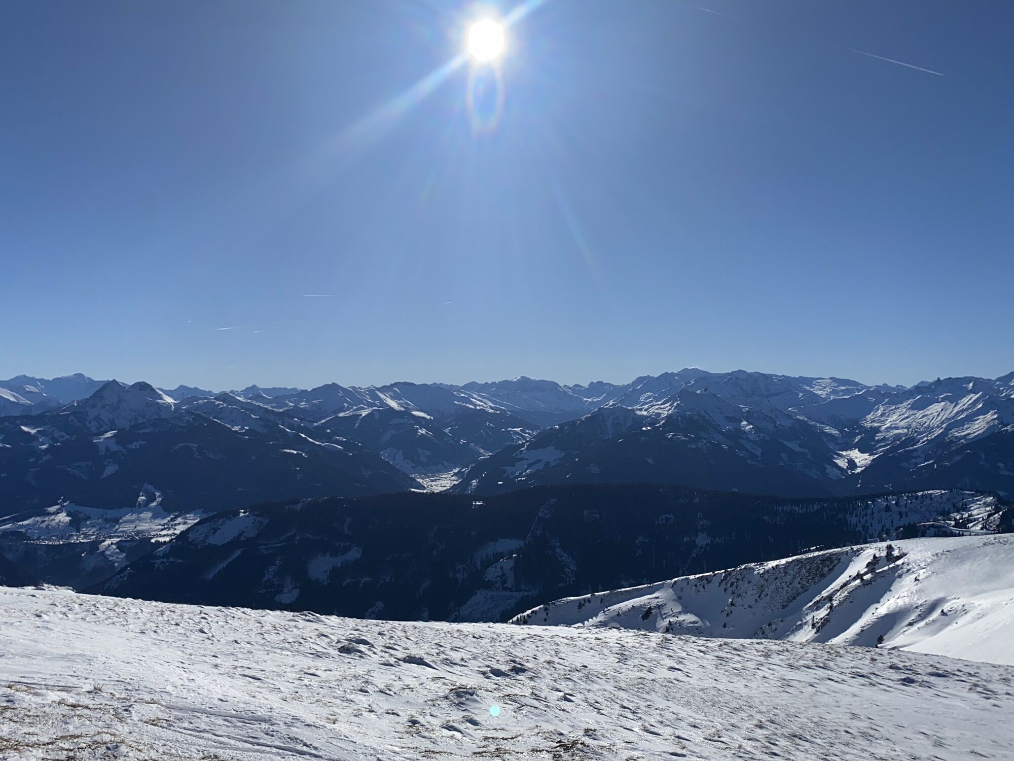
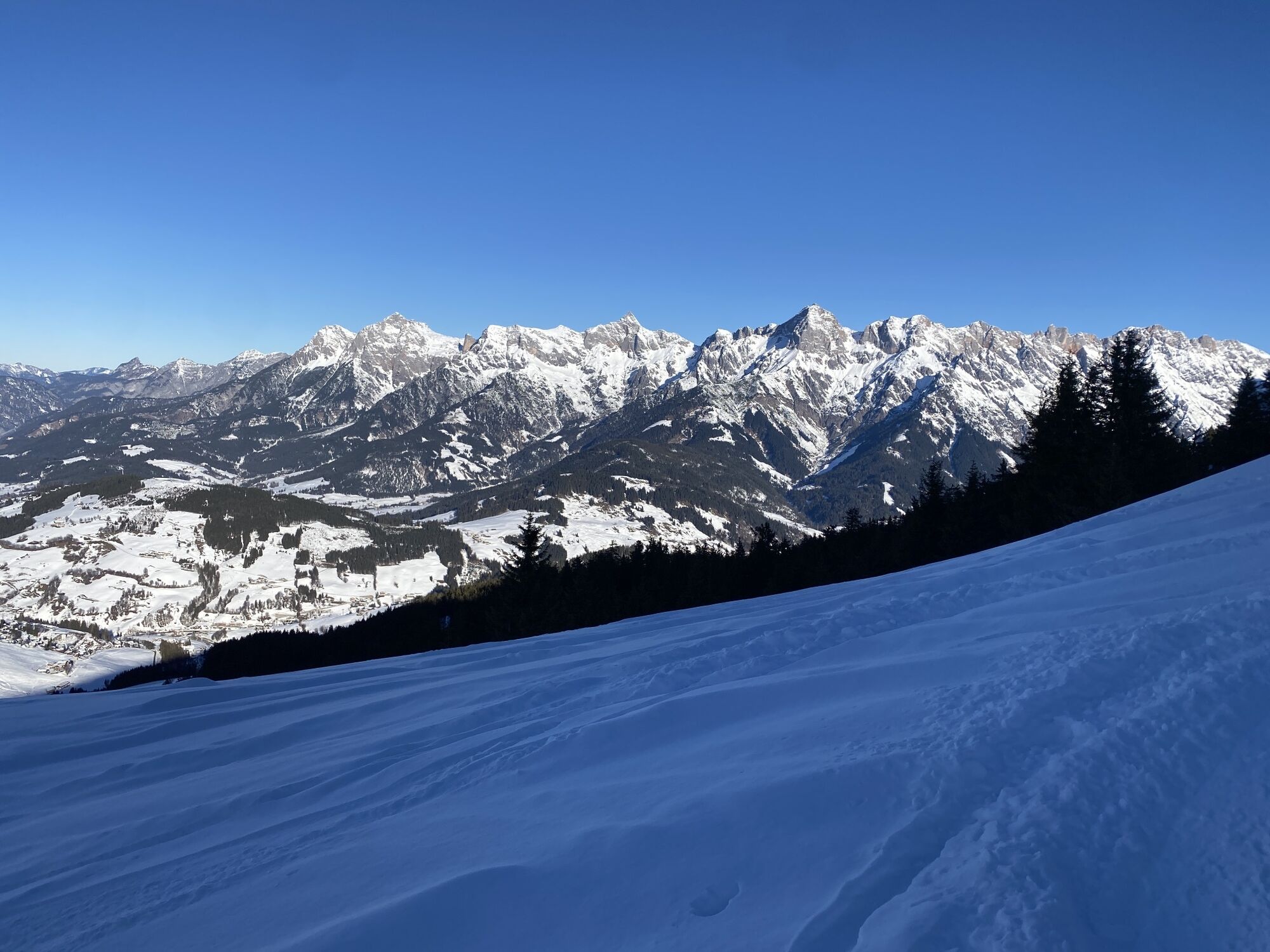

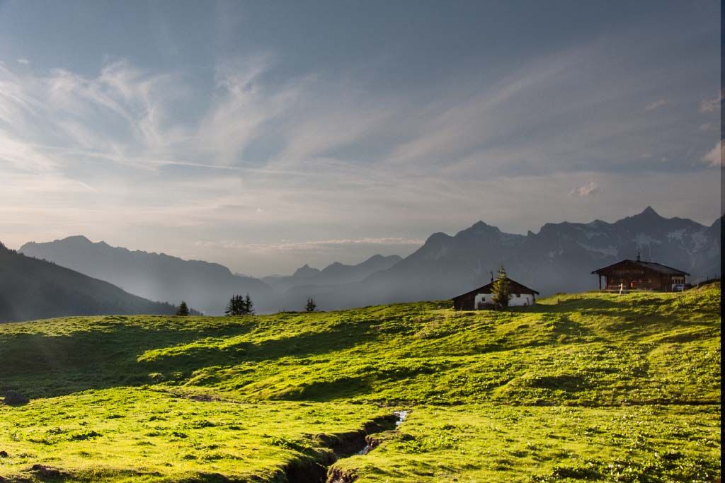
Let yourself be enchanted by nature at Hochkönig and enjoy the peace and calmness in the mountains. On this route, you will not reach your limits but can simply forget time and fully enjoy the beauty of...
Let yourself be enchanted by nature at Hochkönig and enjoy the peace and calmness in the mountains. On this route, you will not reach your limits but can simply forget time and fully enjoy the beauty of the landscape. The route starts in the district of Hintermoos and takes about 3-4 hours. Take your time to breathe in the fresh air and admire the impressive view.

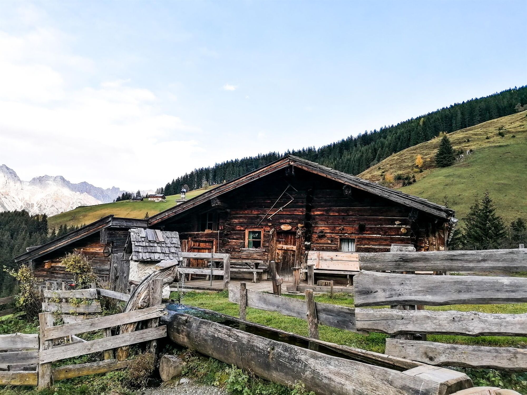
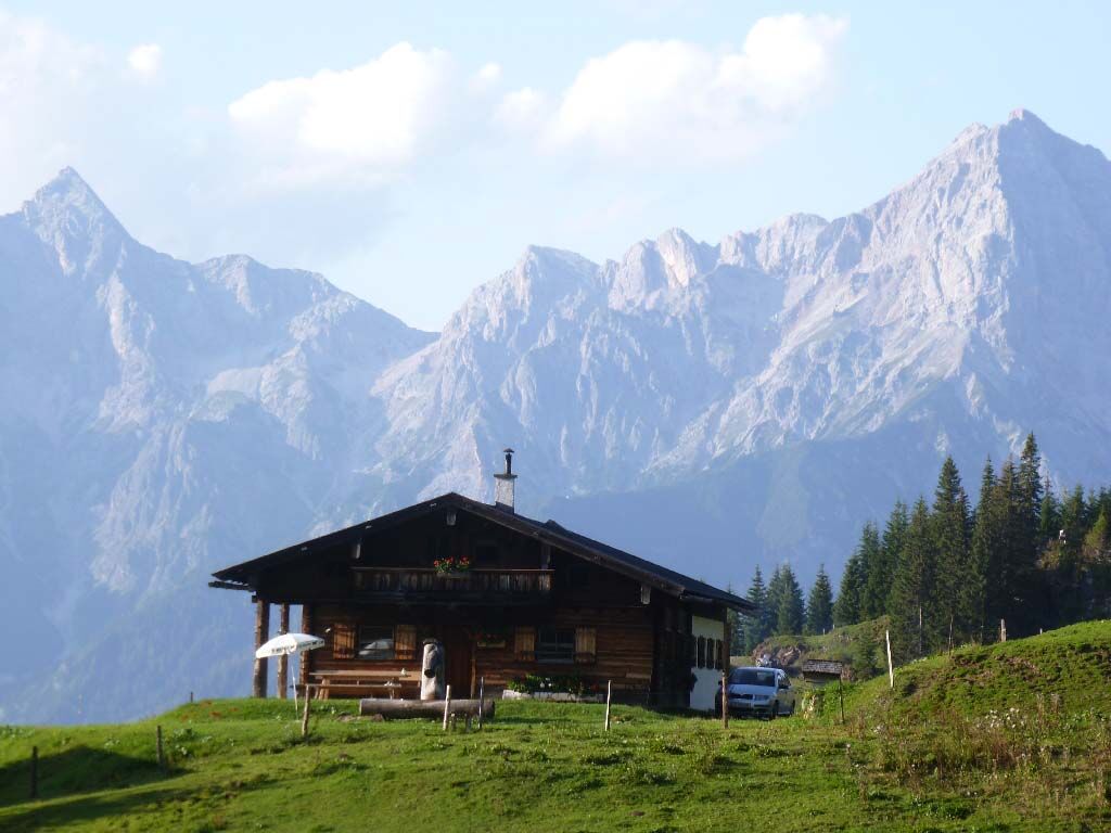

From the Gasthof Bachschmied, you reach the Eggeralm via paths No. 12 and No. 11. Follow path No. 11 further uphill to the Geralmen, where you reach your next destination, the Jagglhütte. Now you hike along an alpine path below the Marbachhöhe to the Krinnkapelle (path No. 12a). Here you meet path No. 12, which you follow towards Hintermoos.
Да
Sturdy, ankle-high footwear
Hiking poles
Headwear
Sun protection
Sunglasses
Rain protection
Drinks and a small snack
Necessary medication
First aid kit
Hiking map
Self-assessment: Before every mountain hike, check your physical condition and correctly estimate your strength as well as that of your companions – especially your children! Surefootedness and being free from dizziness are often very important!
Planning and preparation: Plan every intended mountain hike carefully in advance. Hiking maps and guides as well as information from alpine clubs and locals such as mountain guides and hut hosts can be helpful for this.
Equipment: In the mountains, you need appropriate equipment and clothing, especially sturdy, high footwear with a grippy sole. Weather and cold protection are essential, as the weather can often change suddenly.
Weather forecasts: Observe the current weather conditions at: zamg.at or www.uwz.at.
Togetherness: Observe the 10 rules for proper conduct with grazing animals and leave no litter in nature!
Do not dislodge stones: Do not dislodge stones, as this can seriously endanger other hikers. Marked sections with risk of rockfall should be crossed as quickly as possible with attention and caution.
Turn back in time: This is not a shame but a sign of wisdom. It becomes necessary when the weather changes, fog sets in, or if the path is too difficult or not in good condition.
Emergency numbers: Alpine emergency: 140, International emergency: 112, Rescue: 144
Arrival coming from Salzburg: On the A10 motorway, take the Bischofshofen exit, then on the B311 towards Bischofshofen. Follow the Hochkönig federal road/B164 towards Maria Alm.
Arrival coming from Innsbruck/Kufstein: On Loferer Straße/B178 towards St. Johann i.T., then via the Hochkönig federal road/B164 via Saalfelden to Maria Alm.
A valid vignette is required for using the Austrian motorway and expressway network. Also, carrying a first aid kit, warning triangle, and safety vest is mandatory. More information at Asfinag.
ÖBB-Scotty: Timetable information
Bus line 620: Timetable information
Hiking bus: Timetable information
Free parking at the Hintermoos ski center/Schwarzeckalm lift
More information about hikes and activities in the Hochkönig region:
For detailed information about hiking maps, opening times of mountain lifts as well as huts and alpine pastures in summer, we recommend visiting the service center on site. There you will not only receive the hiking map but also valuable tips on the best hiking routes and current conditions.
Summer opening times of the mountain lifts: The mountain lifts offer different opening times during the summer months, which may vary depending on weather and season. Please inform yourself in advance about the current operation times.
Opening times of huts & alpine pastures in summer: The huts and alpine pastures in the region are ideal resting places for hikers. Here too, opening hours may vary depending on season and weekday. Let the friendly hosts advise you about the offers and specialties on site.
For more information please visit our website: www.hochkoenig.at.
If you have questions or need specific information, feel free to contact us:
Email: region@hochkoenig.at
Phone: +43 (0)6584 20388
We look forward to helping you and wish you lots of fun exploring the beautiful Hochkönig hiking region!
The surrounding, rustic alpine pastures spoil you with delicacies from the region.
Веб-камеры во время экскурсии
Популярные экскурсии по окрестностям
-
4,8
Summit storming route Taghaube
тяжелыйПоход 6,25 км -
4,9
Hochkönig - Gipfel der Gefühle - Matrashaus
тяжелыйПоход 20,9 км -
3,8
Hochkönig summit route - main ascent
тяжелыйПоход 18,1 км -
4,7
Panorama hike to the Hochkeil
среднийПоход 6,07 км -
4,8
Summit stormer route Lauskopf
тяжелыйПоход 8,16 км -
4,7
About the "Four Huts circular route" to Windraucheggalm
среднийПоход 10,1 км -
4,4
Riemannhaus
тяжелыйПоход 3,69 км -
3,9
Mühlbacher Höhenweg
среднийПоход 11,2 км -
4,3
Peter-Wiechenthaler Hut
среднийПоход 4,32 км -
3,0
Alpine hike to Erichhütte
светПоход 4,02 км
Походы и трекинг


Не пропустите предложения и вдохновение для вашего следующего отпуска
Ваш адрес электронной почты был добавлен в список рассылки.