


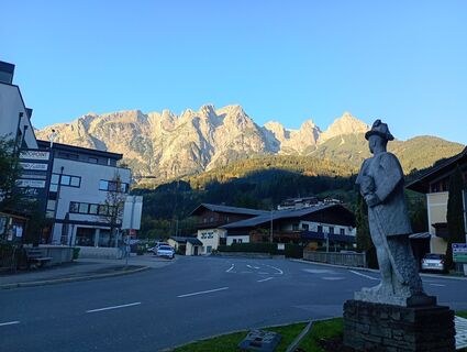
Hike from Werfen to the Mitterfeldalm on the Salzburger Almenweg


Фотографии наших пользователей
-

 © Rainer Prügger 1Создано на 19.08.2023
 -
 © Rainer Prügger 1Создано на 19.08.2023
 -

 © Monika JeskovaСоздано на 20.10.2025
 -
 © Monika JeskovaСоздано на 20.10.2025
 -
 © Monika JeskovaСоздано на 20.10.2025
 -
 © Monika JeskovaСоздано на 20.10.2025
 -
 © Monika JeskovaСоздано на 20.10.2025
 -
 © Monika JeskovaСоздано на 20.10.2025
 -
 © Monika JeskovaСоздано на 20.10.2025
 -
 © Monika JeskovaСоздано на 20.10.2025
 -
 © Monika JeskovaСоздано на 20.10.2025
 -
 © Monika JeskovaСоздано на 20.10.2025
 -
 © Monika JeskovaСоздано на 12.10.2025
 -

 © Ralf MährСоздано на 11.09.2025
 -
 © Eva OppermannСоздано на 03.07.2025
 -
 © handshifterСоздано на 28.06.2025
 -
 © Engelbert M.Создано на 04.06.2025
 -
 © Engelbert M.Создано на 04.06.2025
 -
 © Engelbert M.Создано на 04.06.2025
 -
 © Engelbert M.Создано на 04.06.2025
 -
 © Simon PayrederСоздано на 25.08.2022
 -
 © Guido StoffСоздано на 10.06.2024
 -
 © Thomas DewitzСоздано на 30.09.2023
 -
 © Thomas DewitzСоздано на 30.09.2023
 -
 © Thomas DewitzСоздано на 30.09.2023
 -
 © Thomas DewitzСоздано на 30.09.2023
 -
 © Thomas DewitzСоздано на 30.09.2023
 -
 © Thomas DewitzСоздано на 30.09.2023
 -
 © Thomas DewitzСоздано на 30.09.2023
 -
 © Thomas DewitzСоздано на 30.09.2023
 -
 © Thomas DewitzСоздано на 30.09.2023
 -

 © christian kasper 1Создано на 12.08.2024
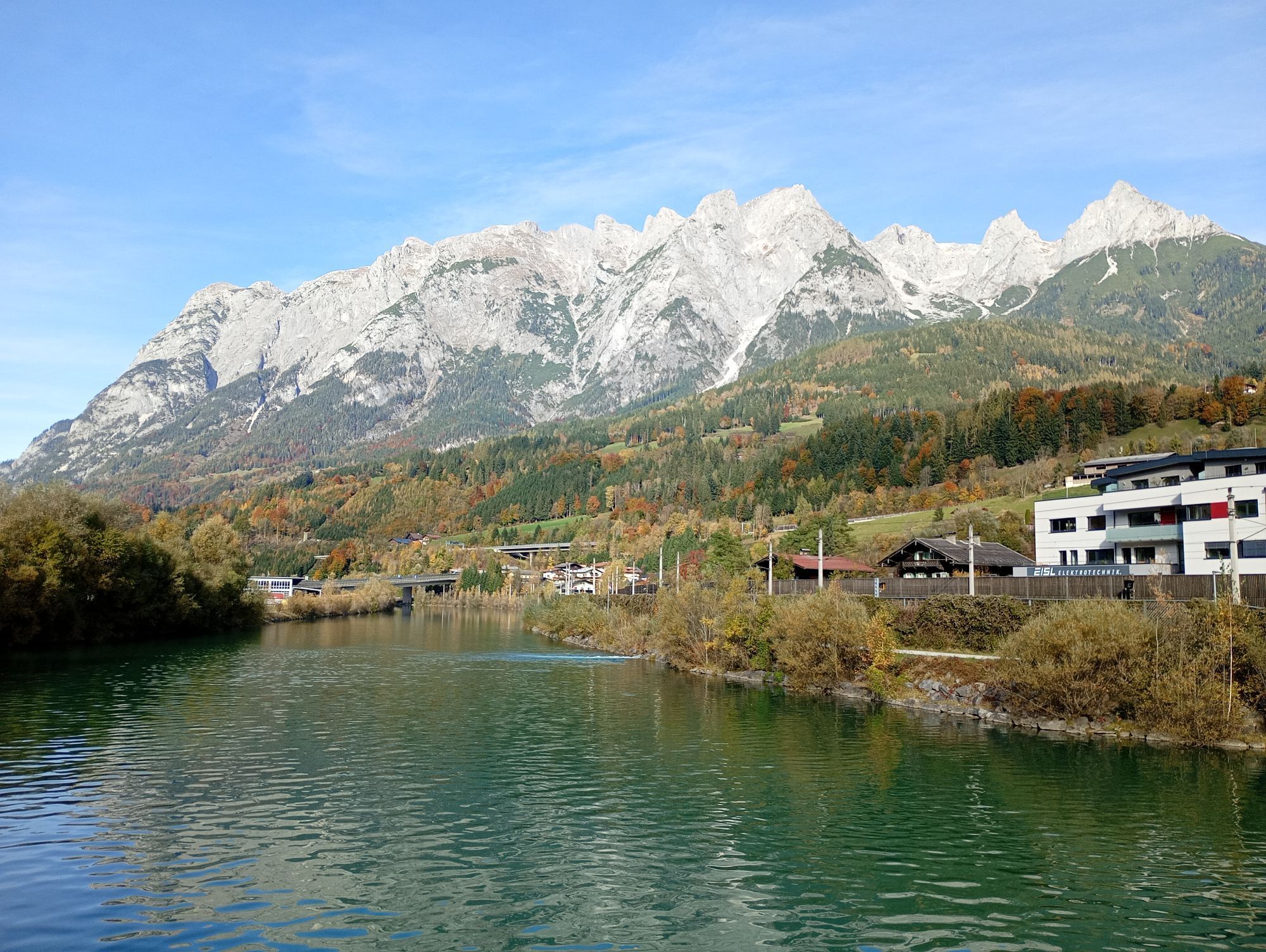
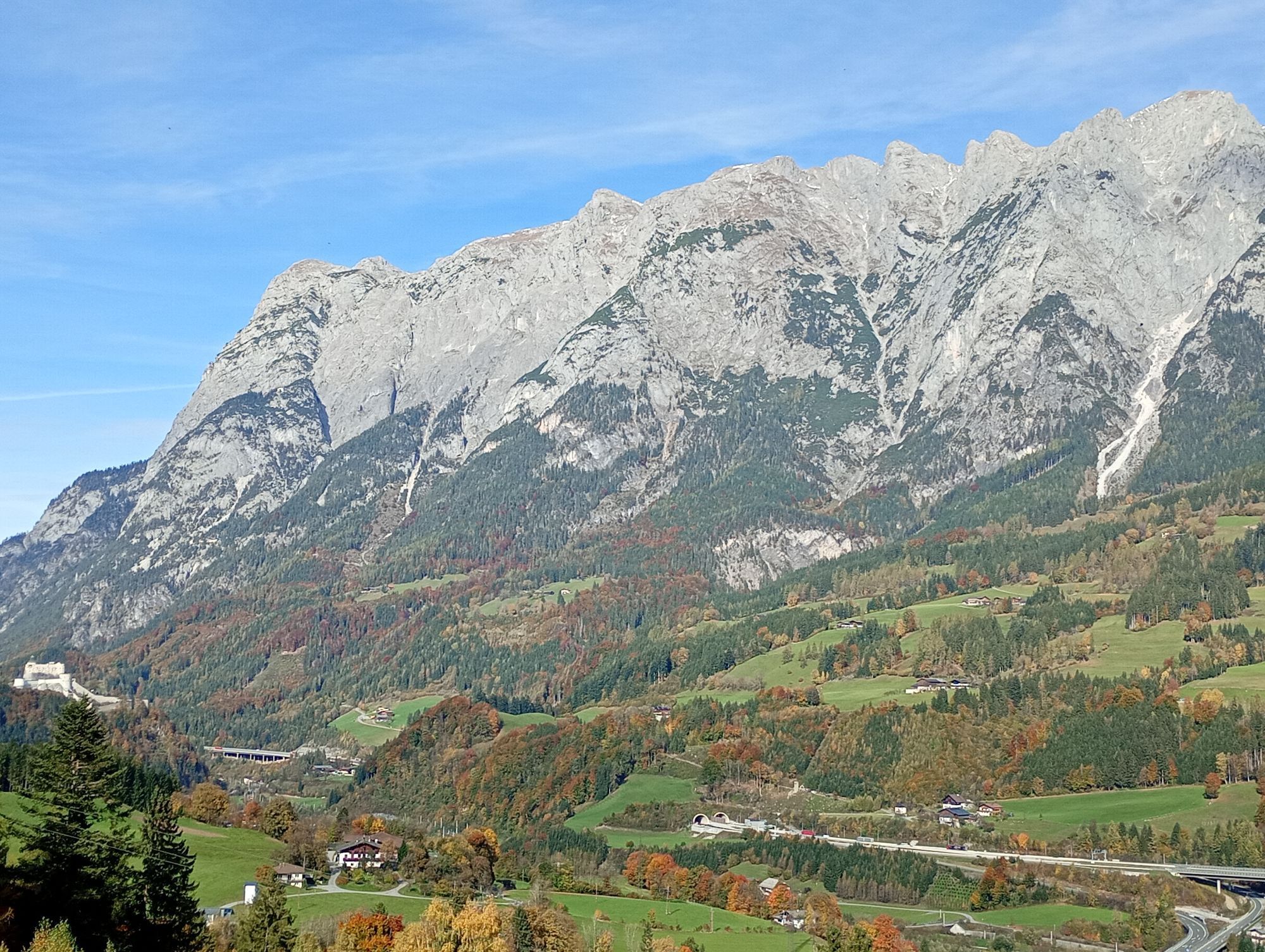

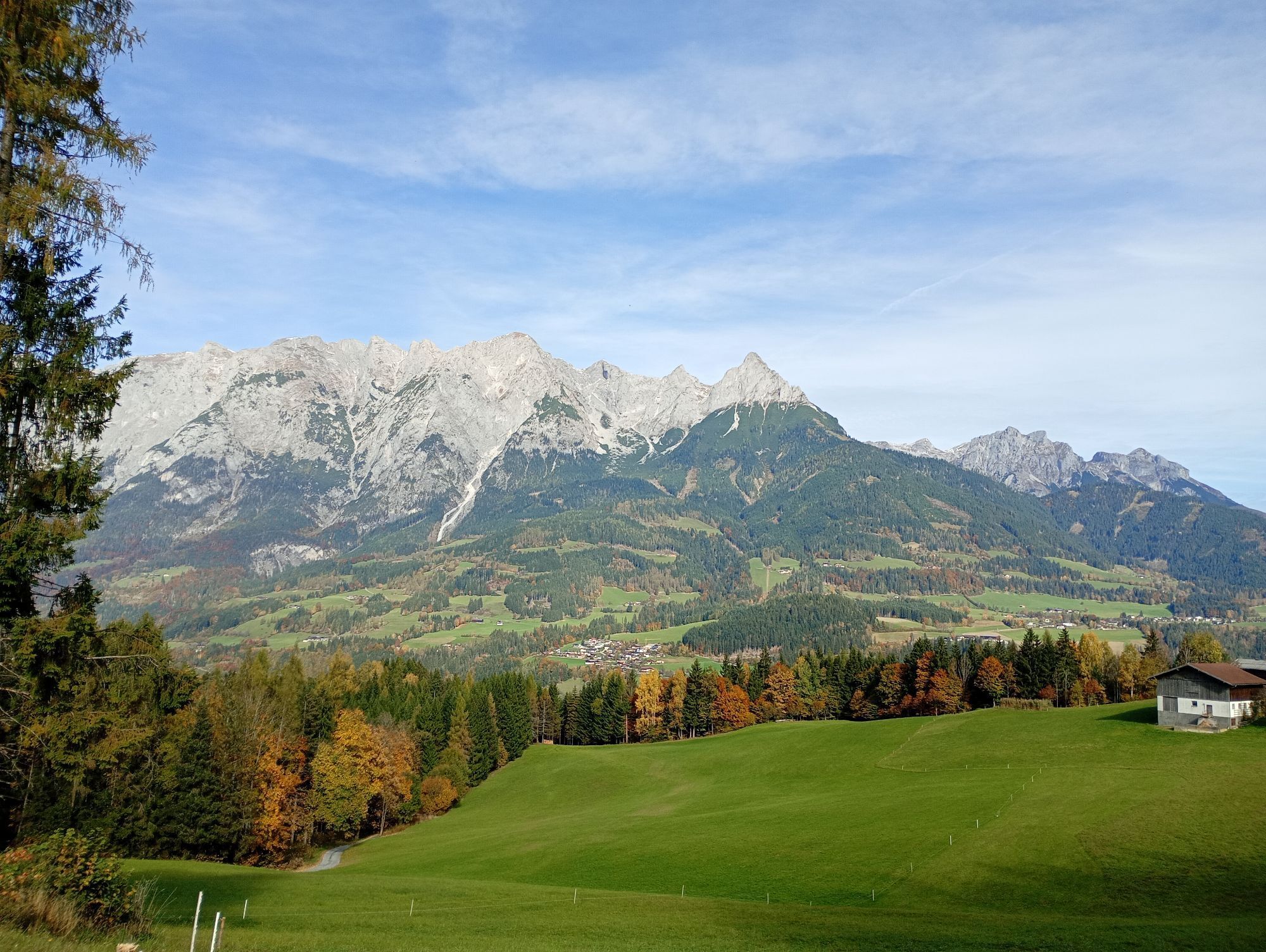
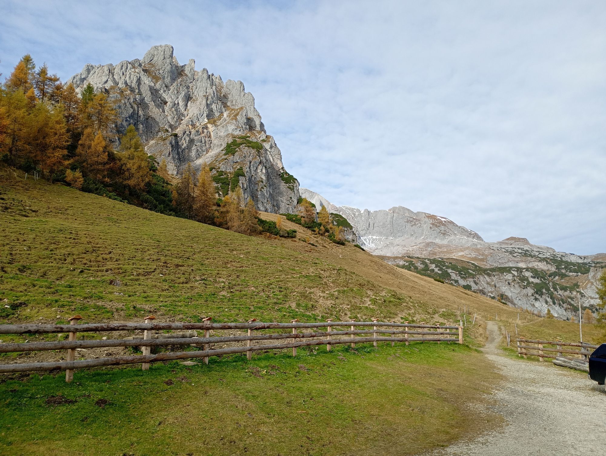
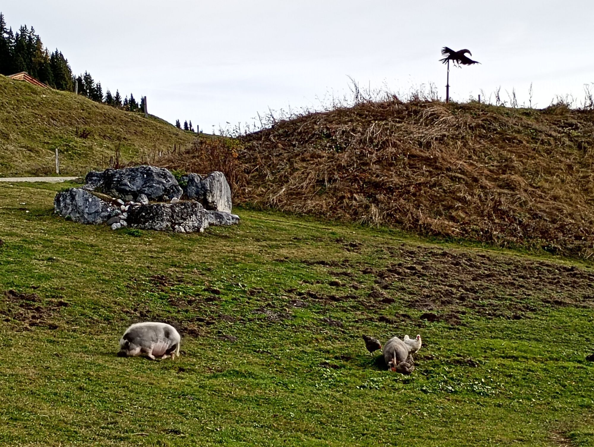


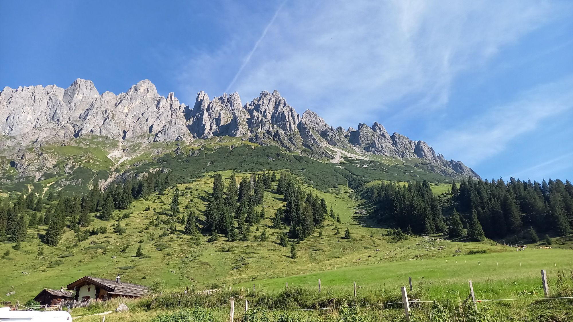
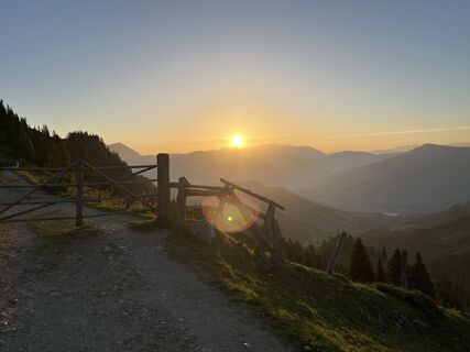
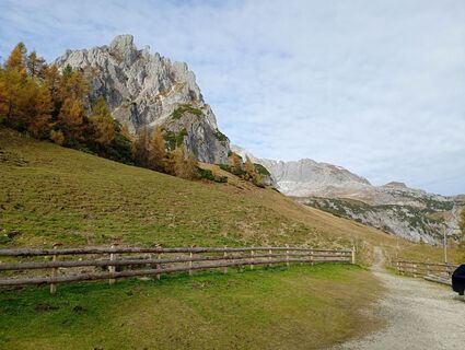
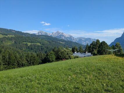
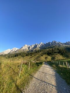
After the start of the hike by the station in Werfen, you can not yet guess the variety of nature you will be hiking on this day. In the beginning, you pass the farms and houses along the roads, meadows...
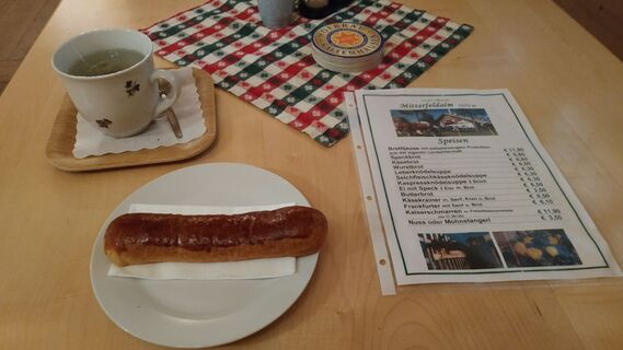
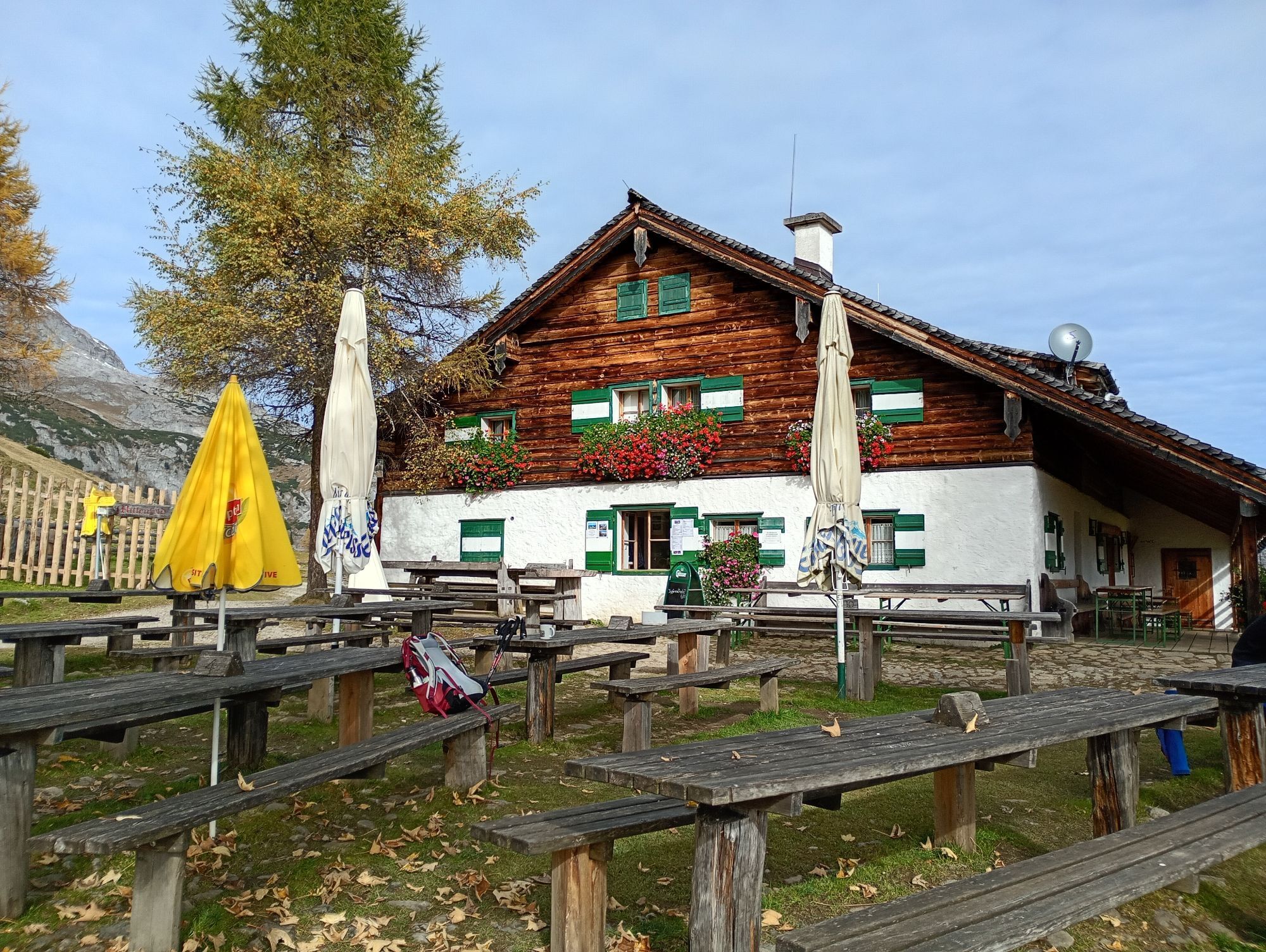
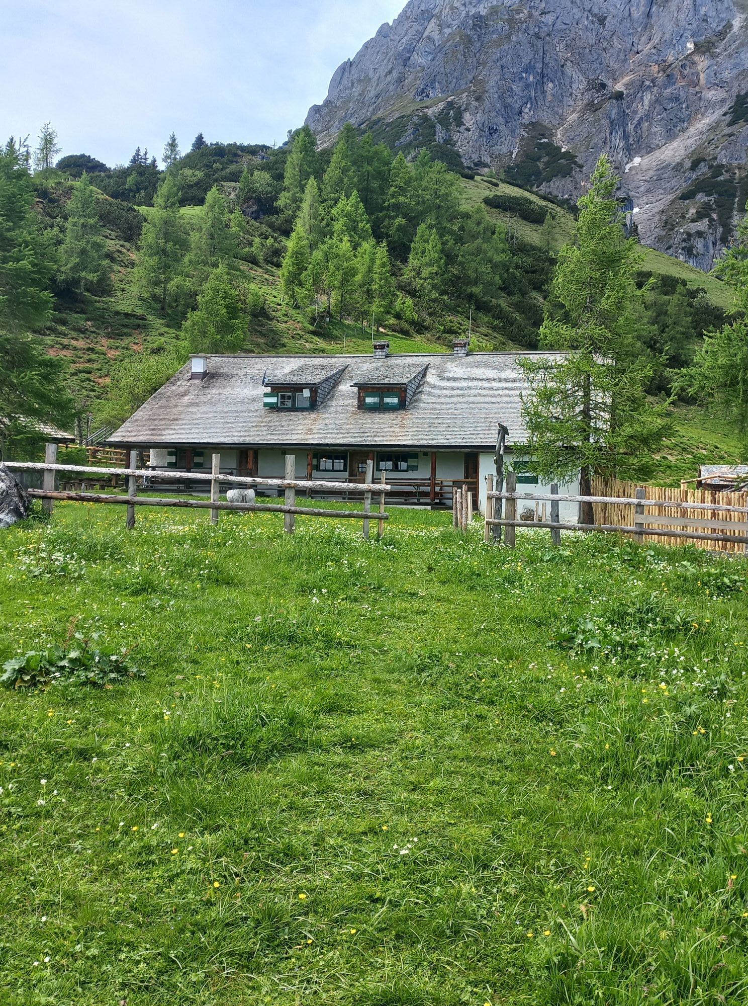
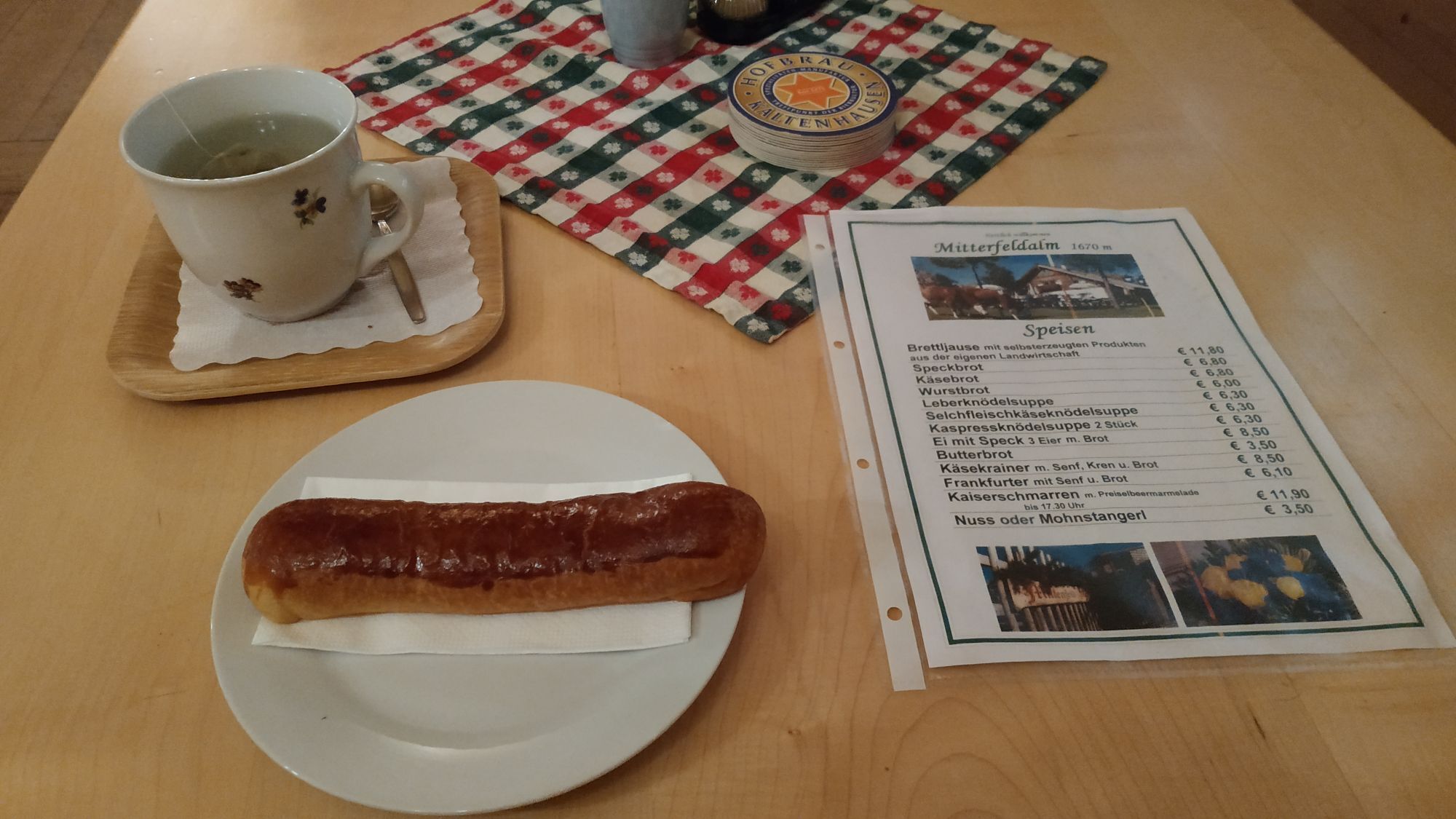
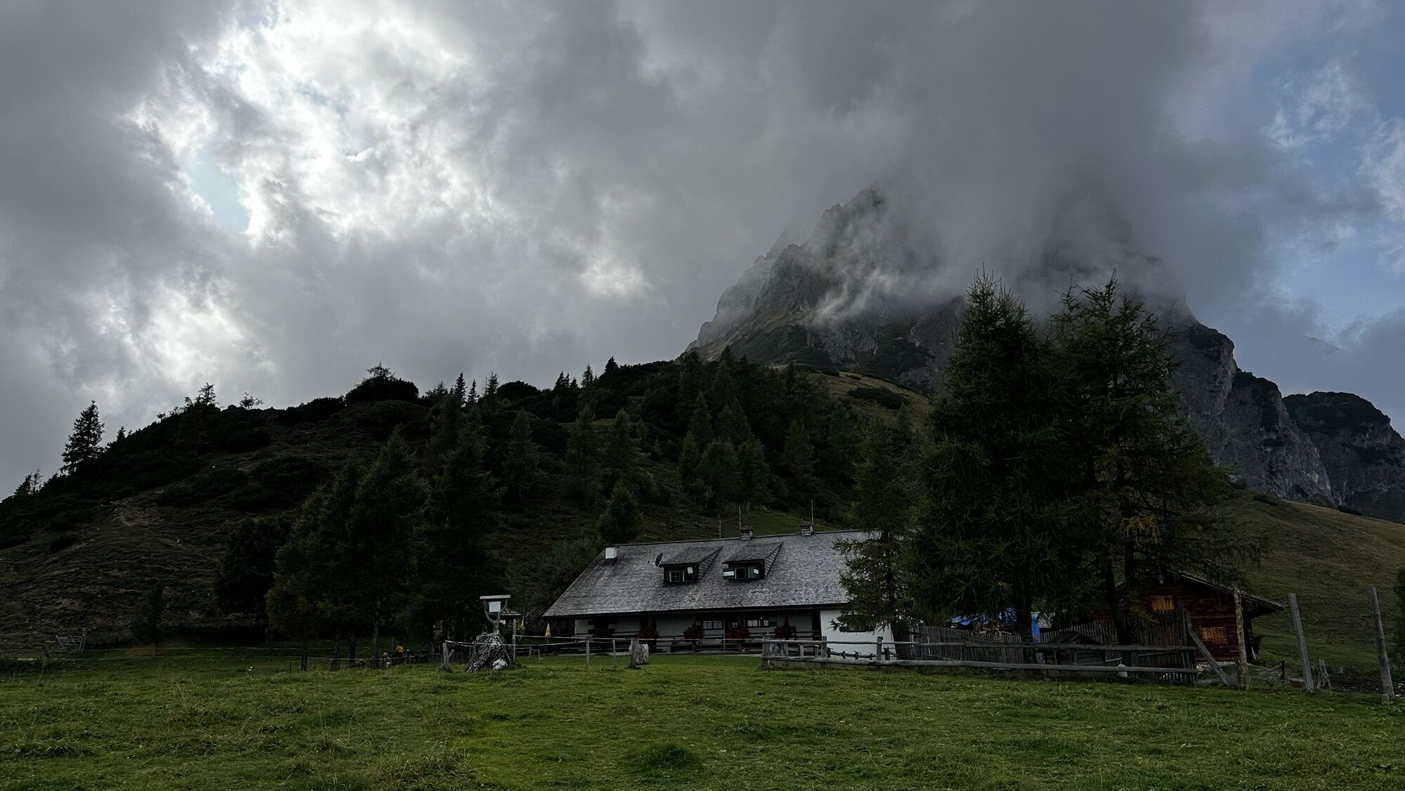
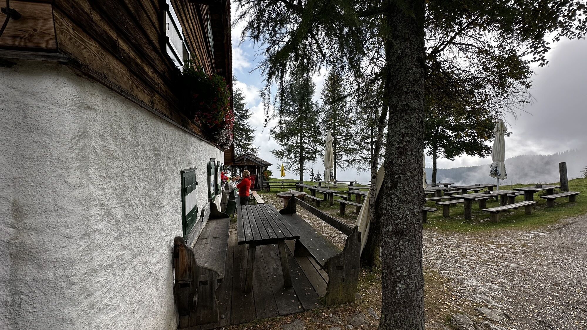
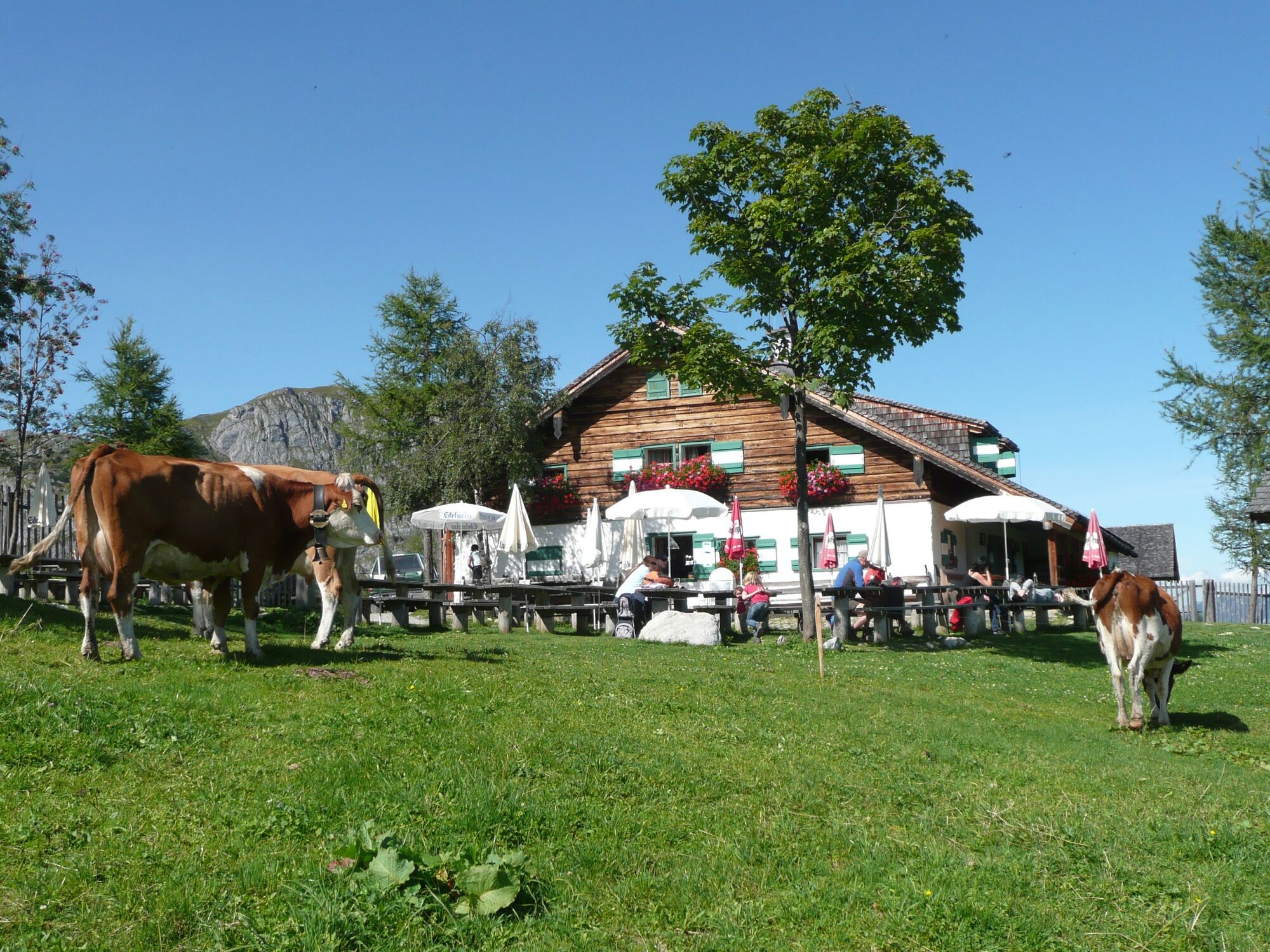
After the start of the hike by the station in Werfen, you can not yet guess the variety of nature you will be hiking on this day. In the beginning, you pass the farms and houses along the roads, meadows and forest paths, then through the dark Höllngraben, along the stream, to the alpine pastures, through the wonderfully fragrant forests until they finally see the Mitterfeldalm at the foot of the Hochkönig massif! You can not skip a delicious Almjausn or a Häferlcafe with the world's most delicious nutcrackers!
Relatively long, though not too difficult hike.
Lowest / highest point: 525 m / 1695 m
Altitude: 1250 m; Length: approx. 11 km
Gehzeit: approx. 5 hours


The hike starts at the train station in Werfen where you will also find plenty of
parking. After crossing the Salzach, the trail heads north for a short way, branching off
to the left at the Reitsamerhof. Behind the inn, a steep supply lane leads up to the
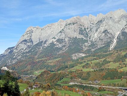
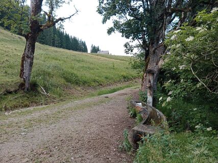
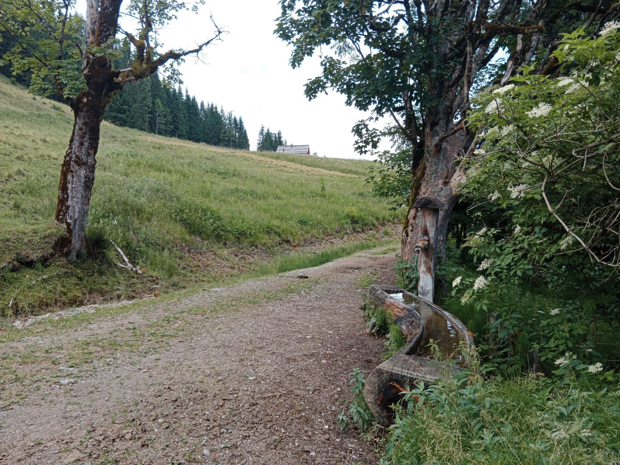
Schwabegg with its glorious views of the Tennengebirge. Now a relaxing, approx. 5km
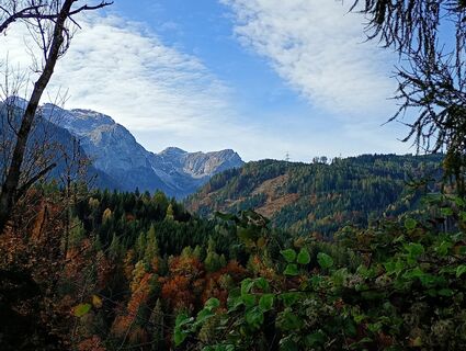
long section through the Höllntal without any significant ascent follows, passing the former Gasthof Hölln.
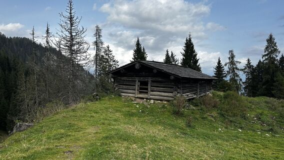
Just before Jagdhaus Hölln, the trail branches off to the left and ascends to the Grünmaißalm.
VARIANT: Just before arriving at the Grünmaißalm, we turn to the right and follow
a trail which, after around 1 km, branches left and becomes steeper. This small path
crosses a forestry road, leading past the Steinalm (now derelicted) up to the Mitterfeldalm.
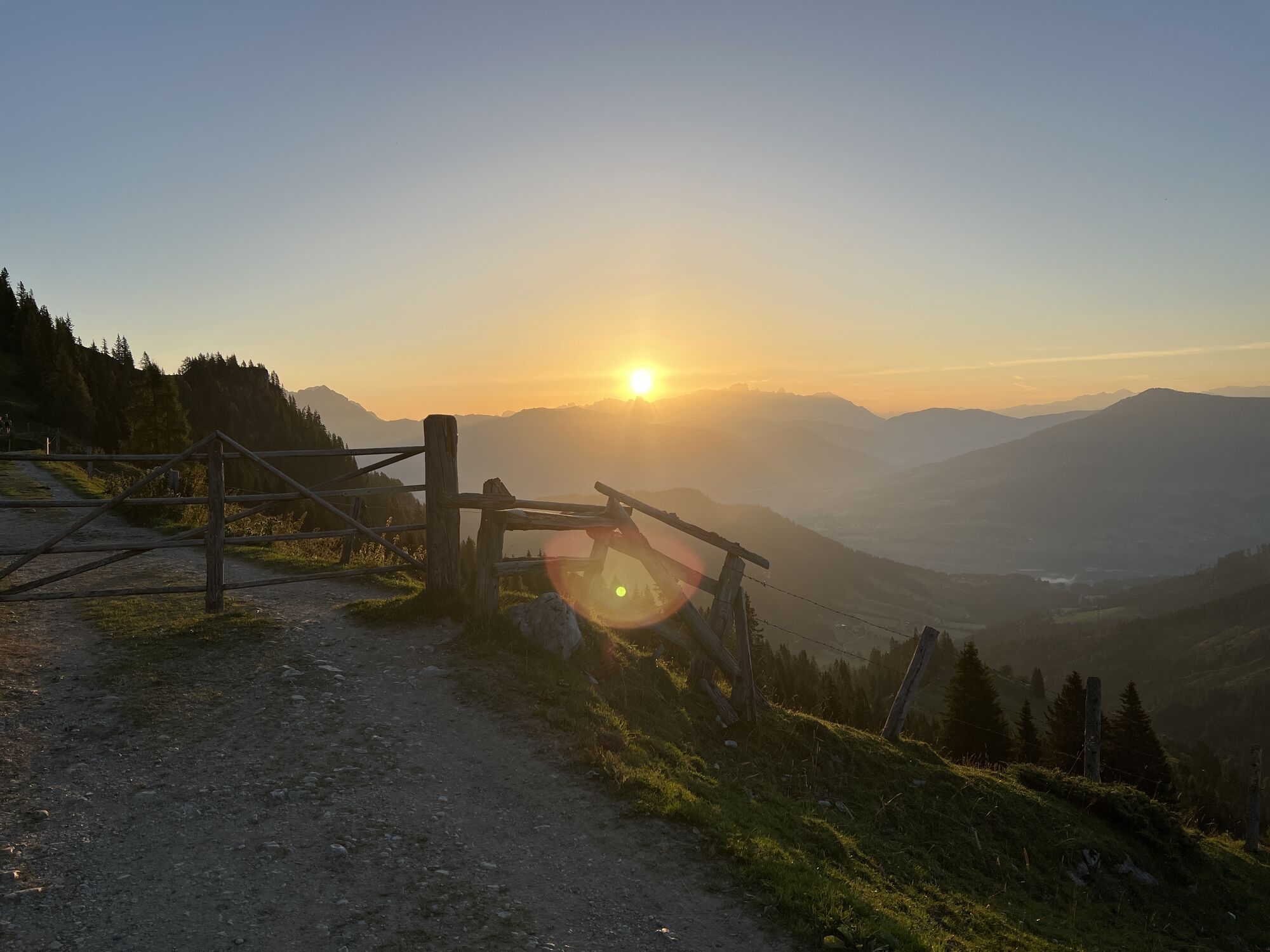
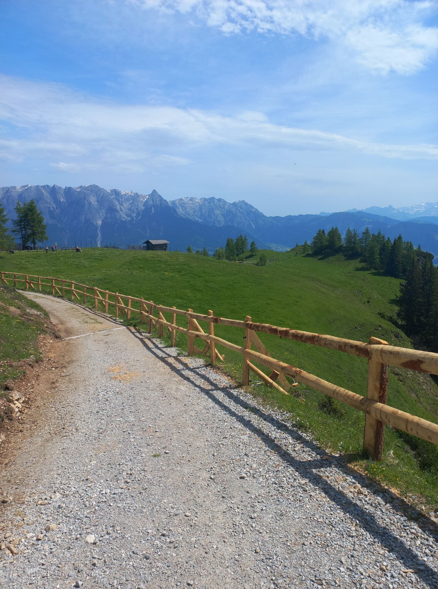
A few meters before reaching the Grünmaißalm we finally leave the forest and enjoy
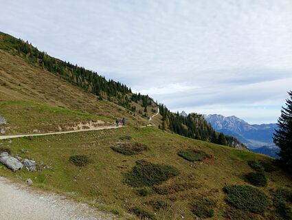
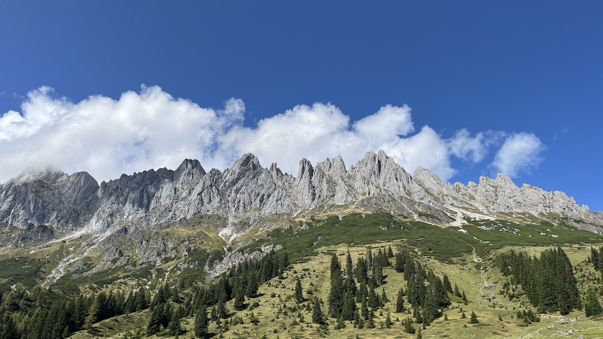
the marvellous view of the Hochthron towards the north east. At the alpine pasture
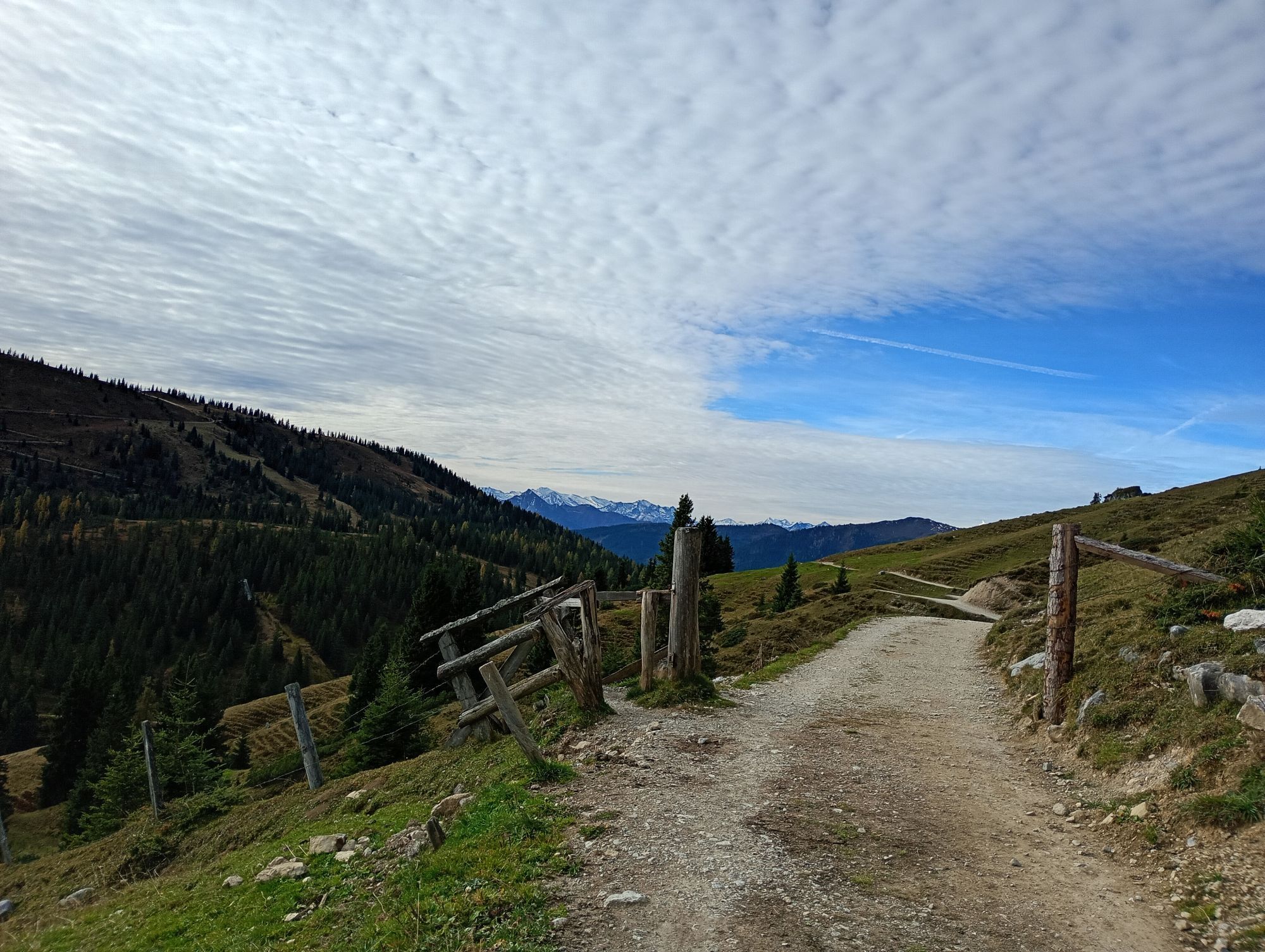
the forest road ends and our hike continues on a trail that starts slightly above the
hut. After about 1 km, we reach the forest road once again, heading west until our
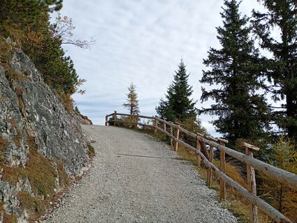
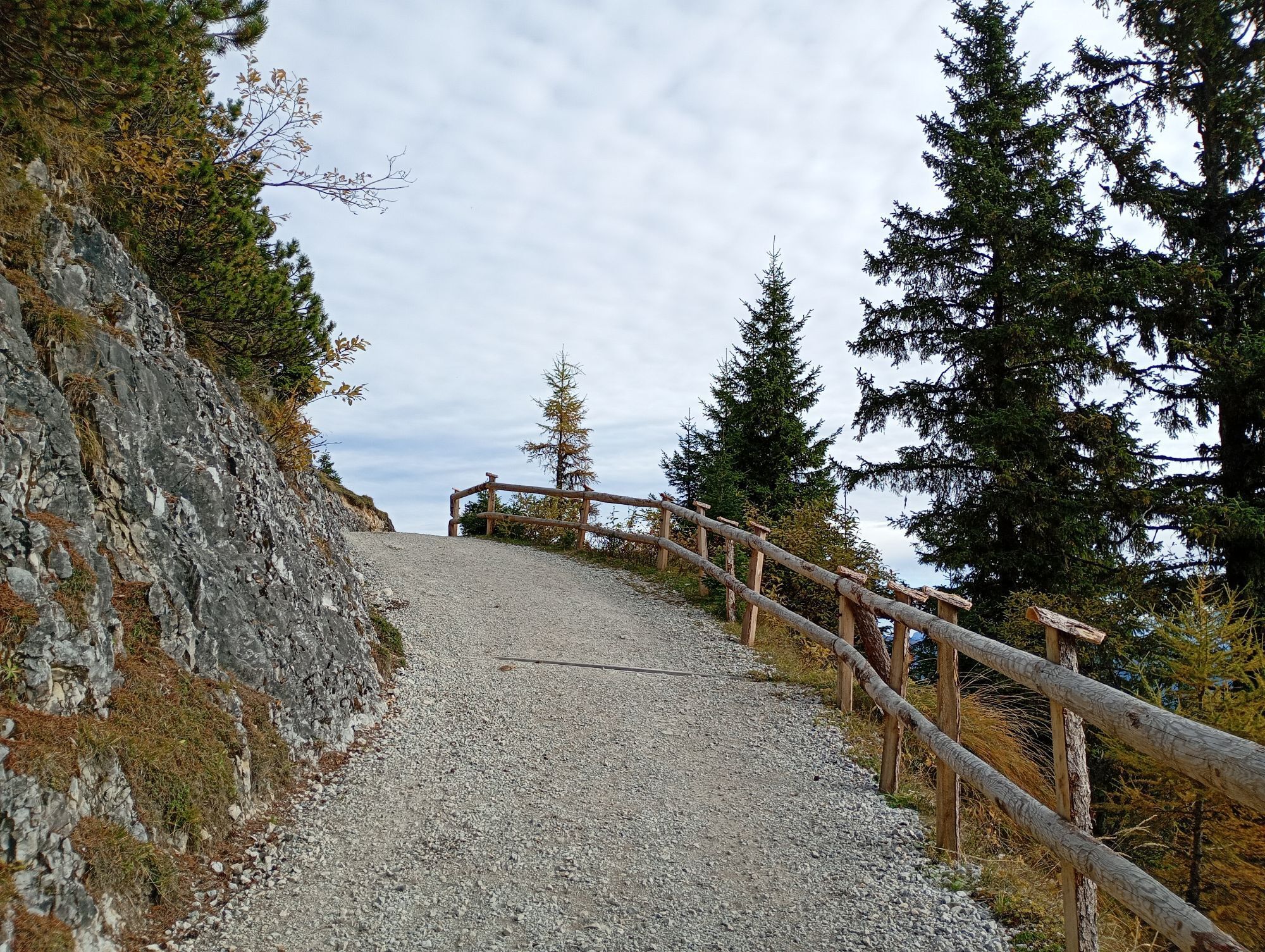
trail branches off to the right, acsending quite steep. This occasionally shady trail
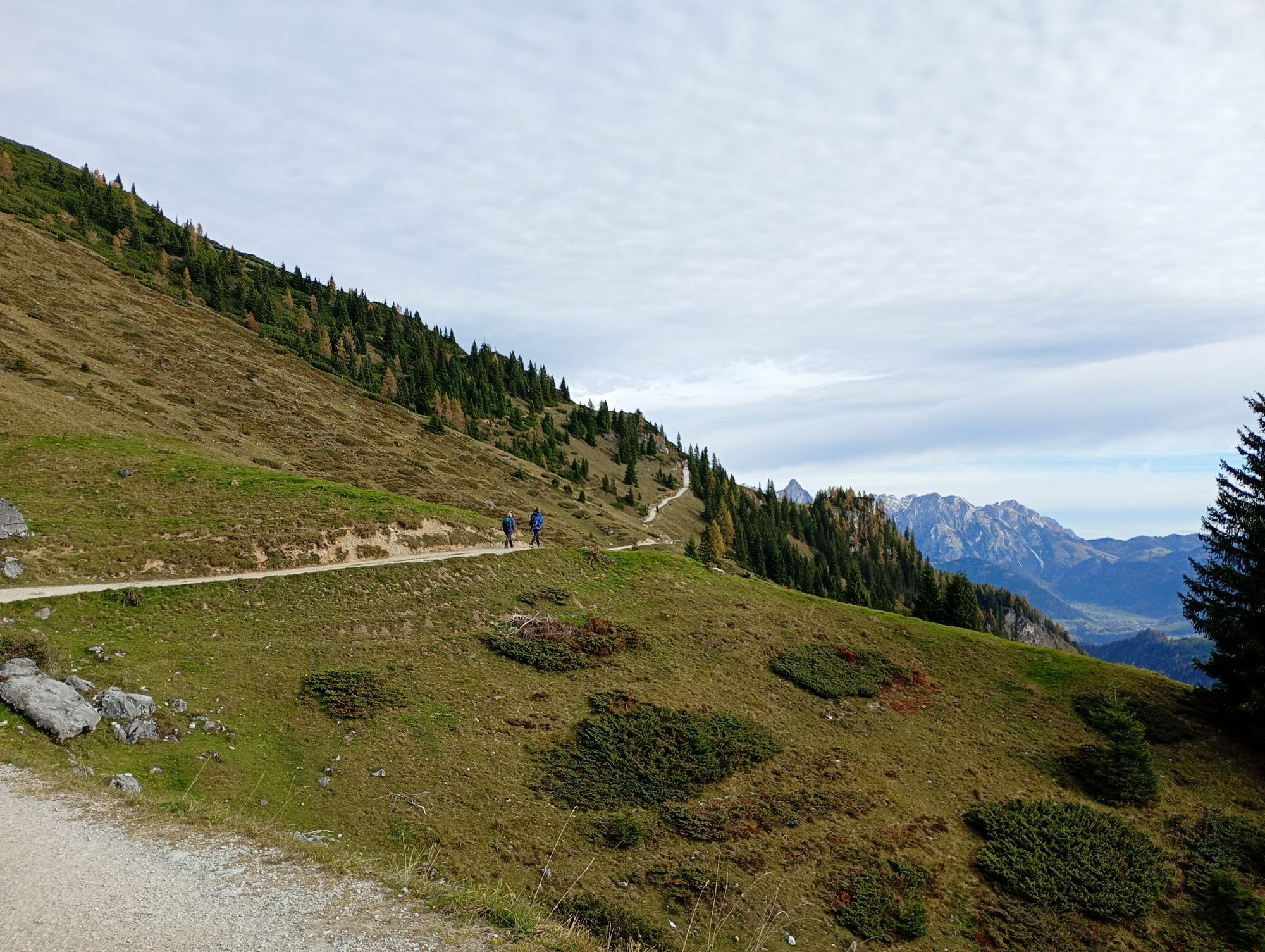
ends at the Stegalm. Even before reaching the alpine pastures of the Stegalm, the
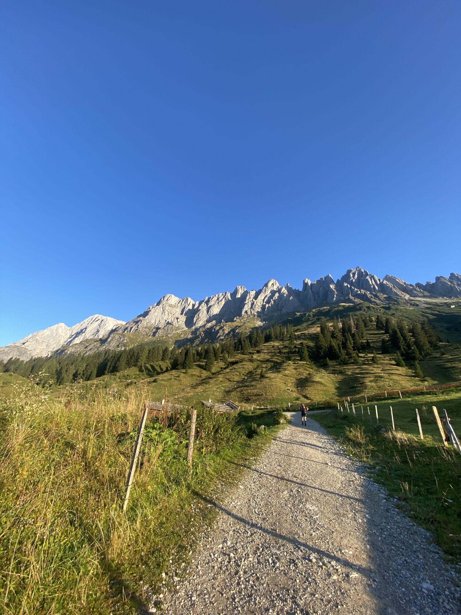
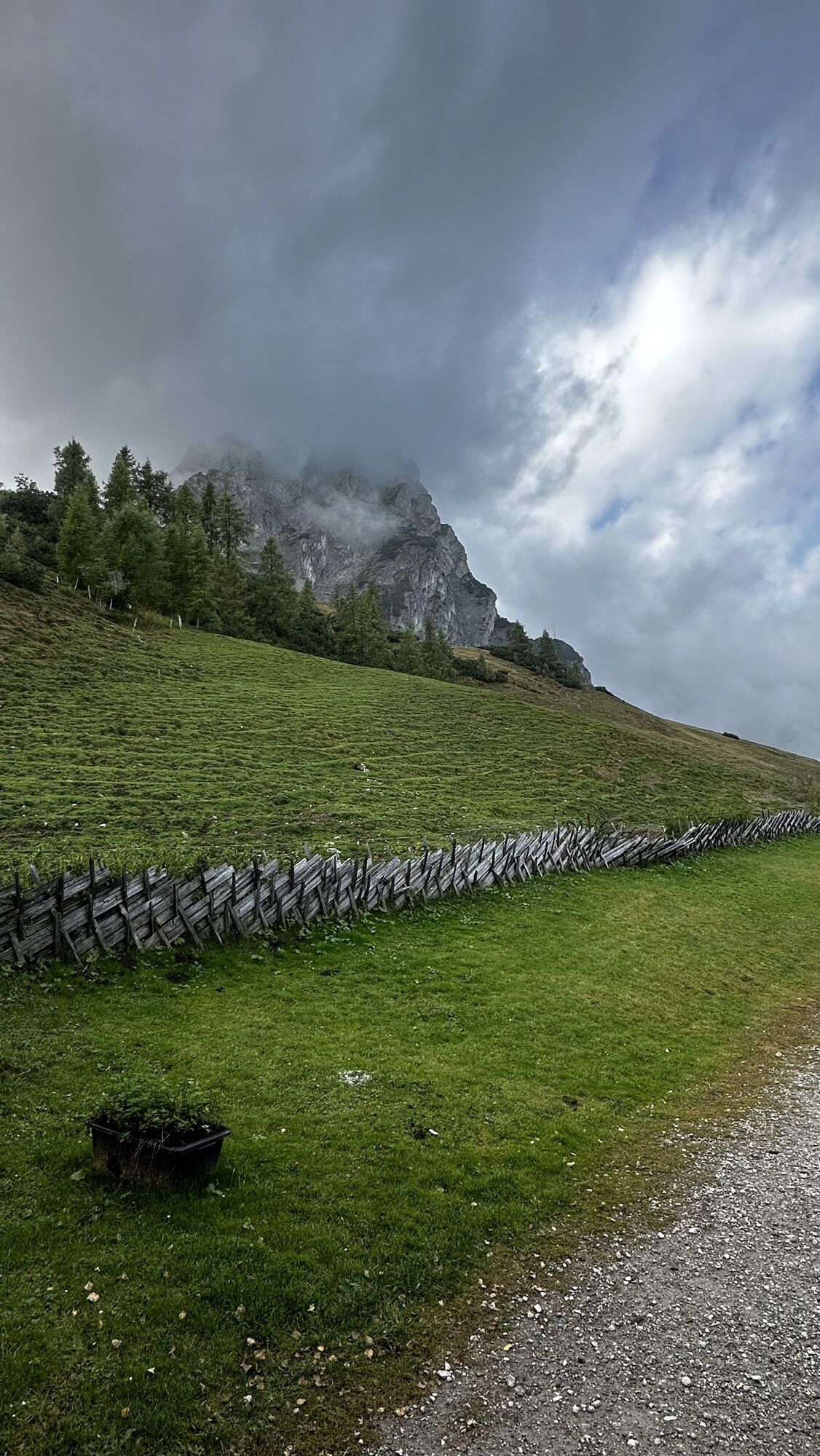
forest thins out, and allows us magical views on the Hochkönig massif.
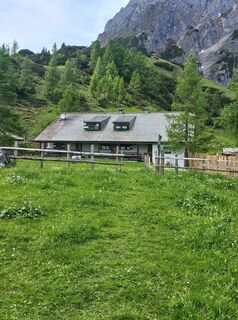
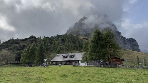
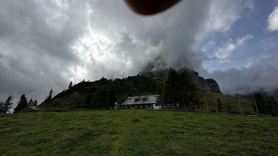
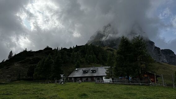
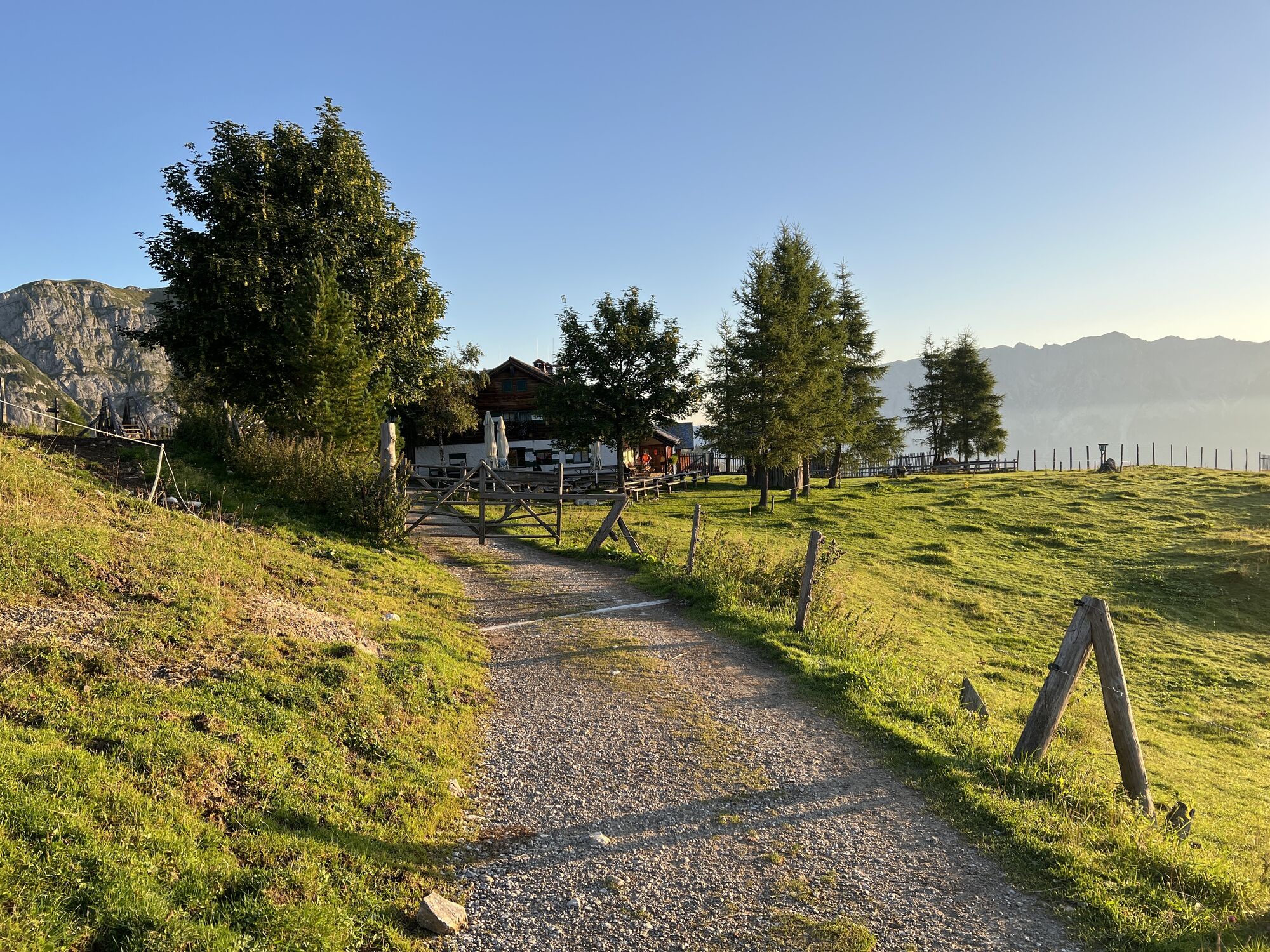
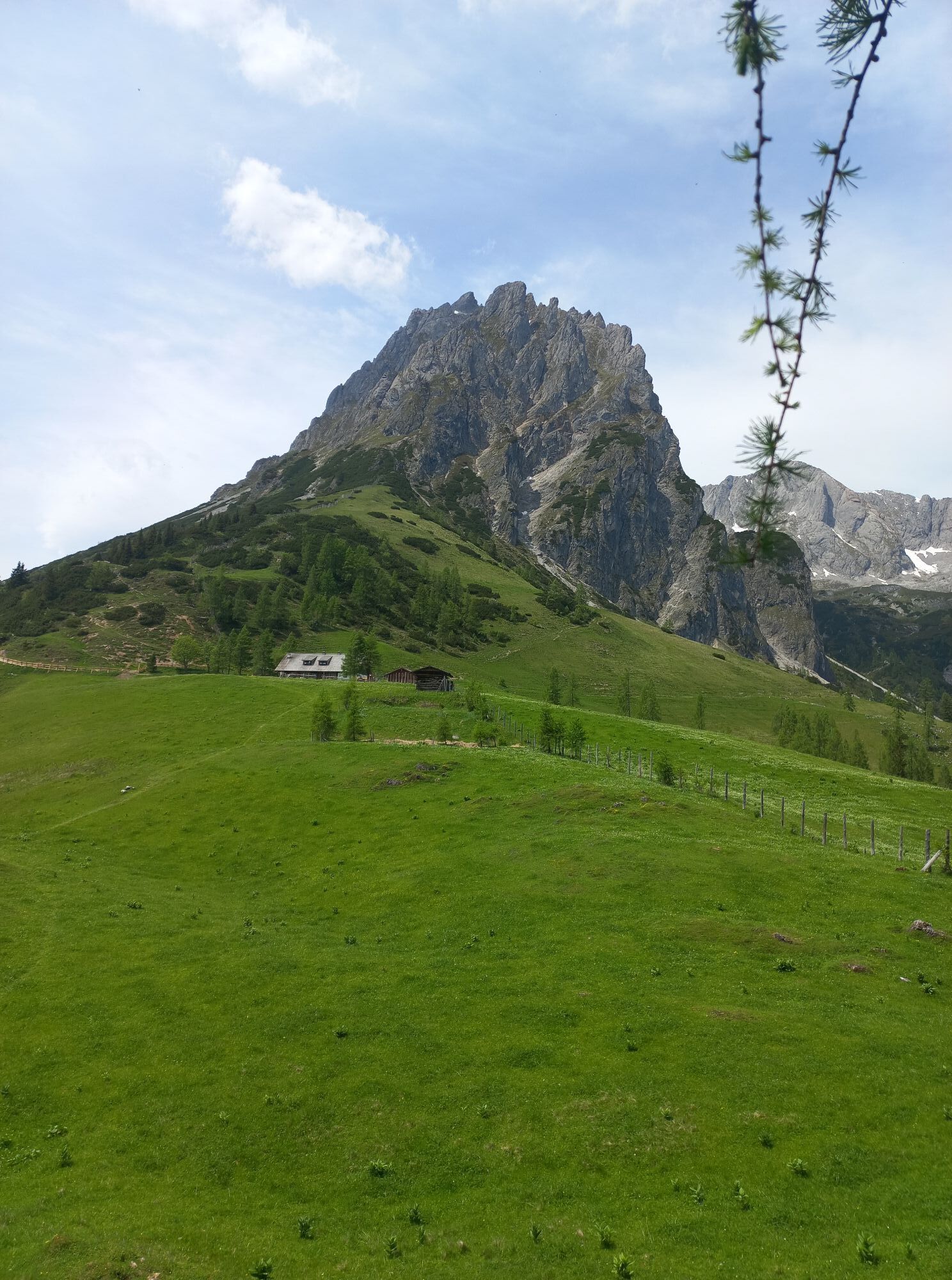
Before we reach the Mitterfeldalm we have to ascend another 270 vertical metres.
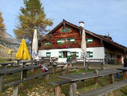
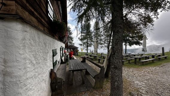
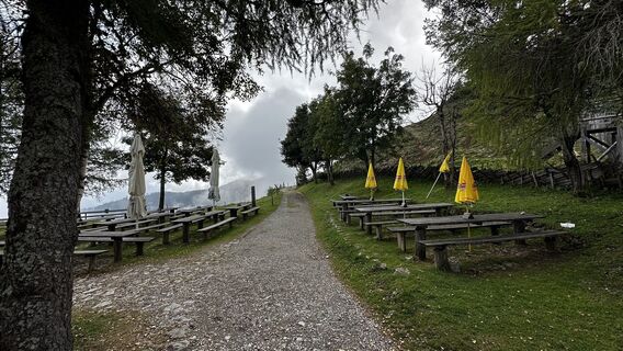
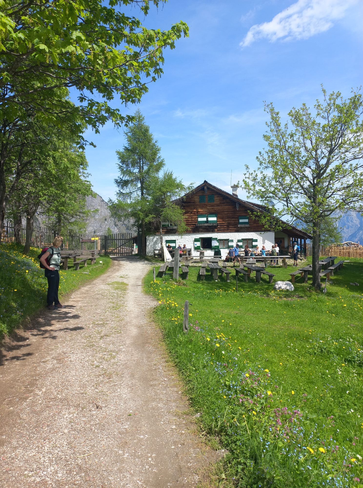
Staffed during the summer months, this is the first refreshment station on thisroute.
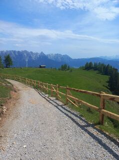
A sunny panoramic path leads slightly downhill to the Arthurhaus and the alpine
dairy Schweizerhütte, the second stop of this route. Hikers have the possibility to take
the bus to Mühlbach, Bischofshofen and further to Pfarrwerfen.
Да
Depending on the weather, sun or rain protection, firm footwear is recommended.
Safety instructions:
• Always pay attention to the appropriate equipment and clothing. Especially high-heeled shoes with slip-resistant sole as well as rain and cold protection are important.
• The basic hiking equipment also includes a backpack, drinks and provisions, a small pharmacy with bandage and bivouac sack, warm clothing, windproof cover, headlamp and orientation material (hiking map, altimeter, compass).
• Make sure you have enough liquid with you!
• Always take your mobile phone into the mountains.
• And another note: Please always tell your relatives or neighborhoods where you are going and when you plan to return. Please return by return (by phone or otherwise).
Notrufnummern
Alpiner Notruf: 140
Internationaler Notruf: 112
From Salzburg, take the A10-Tauernautobahn, take the exit Werfen and turn right in the direction of train station Werfen (Salzachtal- Bundesstraße B 159).
Coming from Zell am See / Villach take the A10-Tauernautobahn, take the exit Pfarrerfen and turn left in the direction of train station Pfarrwerfen or Reitsamerhof in Werfen-Imlau (Salzachtal- Bundesstraße B 159).
Travel to Werfen by bus, train or car.
Free Parking is possible at the train station Werfen.
Information
Pfarrwerfen T. O.: Tel. +43 (0)6468 5390
TVB Werfen: Tel. +43 (0)6468 5388
Bischofshofen T. O.: Tel. +43 (0)6462 2471
Mühlbach/Hkg. T. O.: Tel. +43 (0)6584 20388-40
Bus information: Tel. +43 (0)6462 33030-33
Refreshment and accommodation options
Mitterfeldalm: mid May to late Oktober, Tel. +43 (0)664 6438077
Schweizerhütte: May to Oktober (Wed-Sun), Tel. +43 (0)6467 7202
Arthurhaus: May to October, Tel. +43 (0)6467 7202
• All efforts are paid when you reach the Mitterfeldalm, at the foot of the Hochkönig!
• The Erzweg leads you from the Arthurhaus directly to the center of Mühlbach am Hochkönig!
Visit in Werfen Hohenwerfen Castle, Kuenburggewölbe, Giant Ice Caves, Indoor climbing wall, Jetboat rides, Shooting range “Jagdzentrum Stegenwald“ and The Sound of Music Trail.
Веб-камеры во время экскурсии
Популярные экскурсии по окрестностям
-
4,8
Summit storming route Taghaube
тяжелыйПоход 6,25 км -
4,9
Hochkönig - Gipfel der Gefühle - Matrashaus
тяжелыйПоход 20,9 км -
3,8
Hochkönig summit route - main ascent
тяжелыйПоход 18,1 км -
4,7
Panorama hike to the Hochkeil
среднийПоход 6,07 км -
4,8
Summit stormer route Lauskopf
тяжелыйПоход 8,16 км -
3,6
Wanderung zur Ostpreußenhütte in Werfen (1.630 m)
среднийПоход 11,2 км -
4,7
About the "Four Huts circular route" to Windraucheggalm
среднийПоход 10,1 км -
3,7
Auf die Ostpreussenhütte
среднийПоход 16,6 км -
3,9
Mühlbacher Höhenweg
среднийПоход 11,2 км -
4,2
Wasserfallweg (UNESCO-Geopark Erz der Alpen)
светтематический маршрут 4 км
Походы и трекинг


Не пропустите предложения и вдохновение для вашего следующего отпуска
Ваш адрес электронной почты был добавлен в список рассылки.