


L3 Rinnende Mauer Trail - long


Фотографии наших пользователей
-
 © Uwe breitschopfСоздано на 27.07.2024
 -
 © Uwe breitschopfСоздано на 27.07.2024
 -
 © Uwe breitschopfСоздано на 27.07.2024
 -
 © Uwe breitschopfСоздано на 27.07.2024
 -
 © Uwe breitschopfСоздано на 27.07.2024
 -
 © Uwe breitschopfСоздано на 27.07.2024
 -
 © Uwe breitschopfСоздано на 27.07.2024
 -
 © Uwe breitschopfСоздано на 27.07.2024
 -
 © Uwe breitschopfСоздано на 27.07.2024
 -
 © Uwe breitschopfСоздано на 27.07.2024
 -
 © Uwe breitschopfСоздано на 27.07.2024
 -
 © Uwe breitschopfСоздано на 27.07.2024
 -

 © Hans Haslinger 1Создано на 30.10.2022


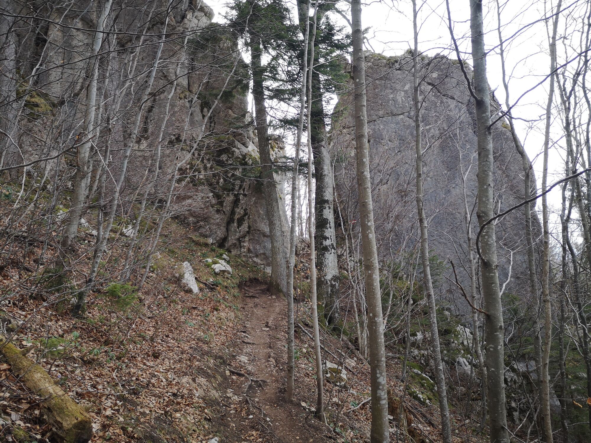
This circular course with a length of 14.7 km and 733 m in altitude is very varied in terms of underground. Starting on asphalt, very different hiking trails and forest roads change along the route. There...
This circular course with a length of 14.7 km and 733 m in altitude is very varied in terms of underground. Starting on asphalt, very different hiking trails and forest roads change along the route. There are 2 highlights on the route, on the one hand the natural monument "Rinnende Mauer" and on the other hand the Mollnerhütte at just over 1000 m altitude.

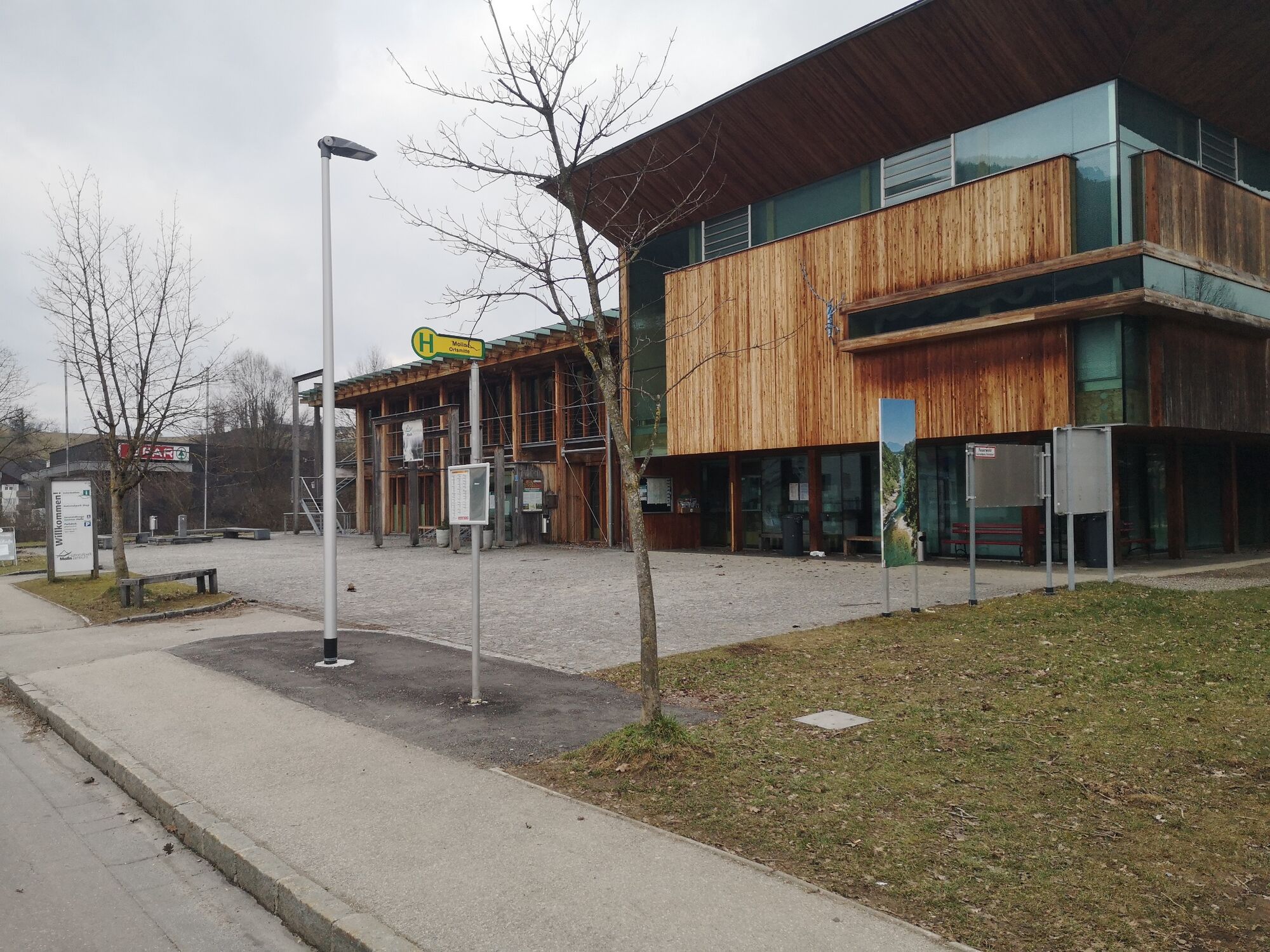
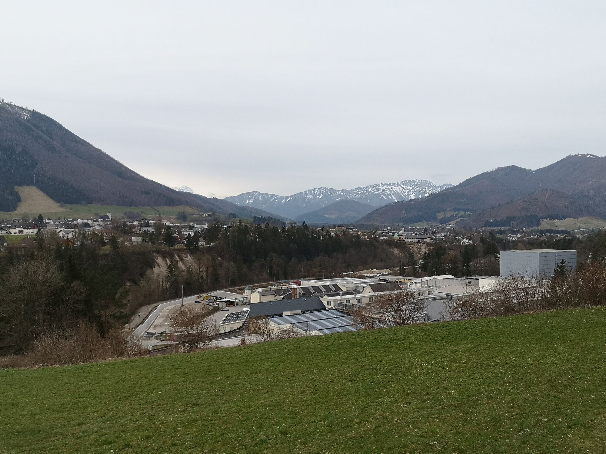
The tour starts at the bus stop near the national park center in Molln. From here you first walk in the direction of Spar, turn right at this and continue along the sidewalk to the former Gasthaus Stefaniebrücke, where you turn left immediately before.
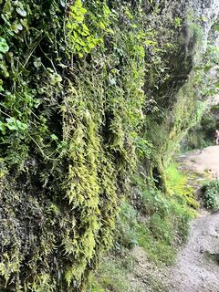
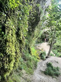
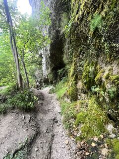
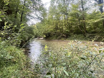
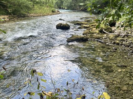
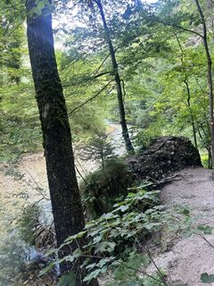
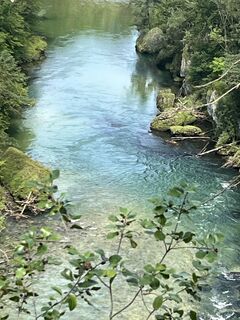
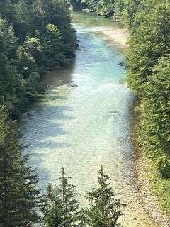
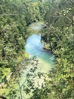
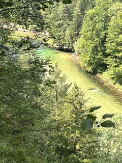
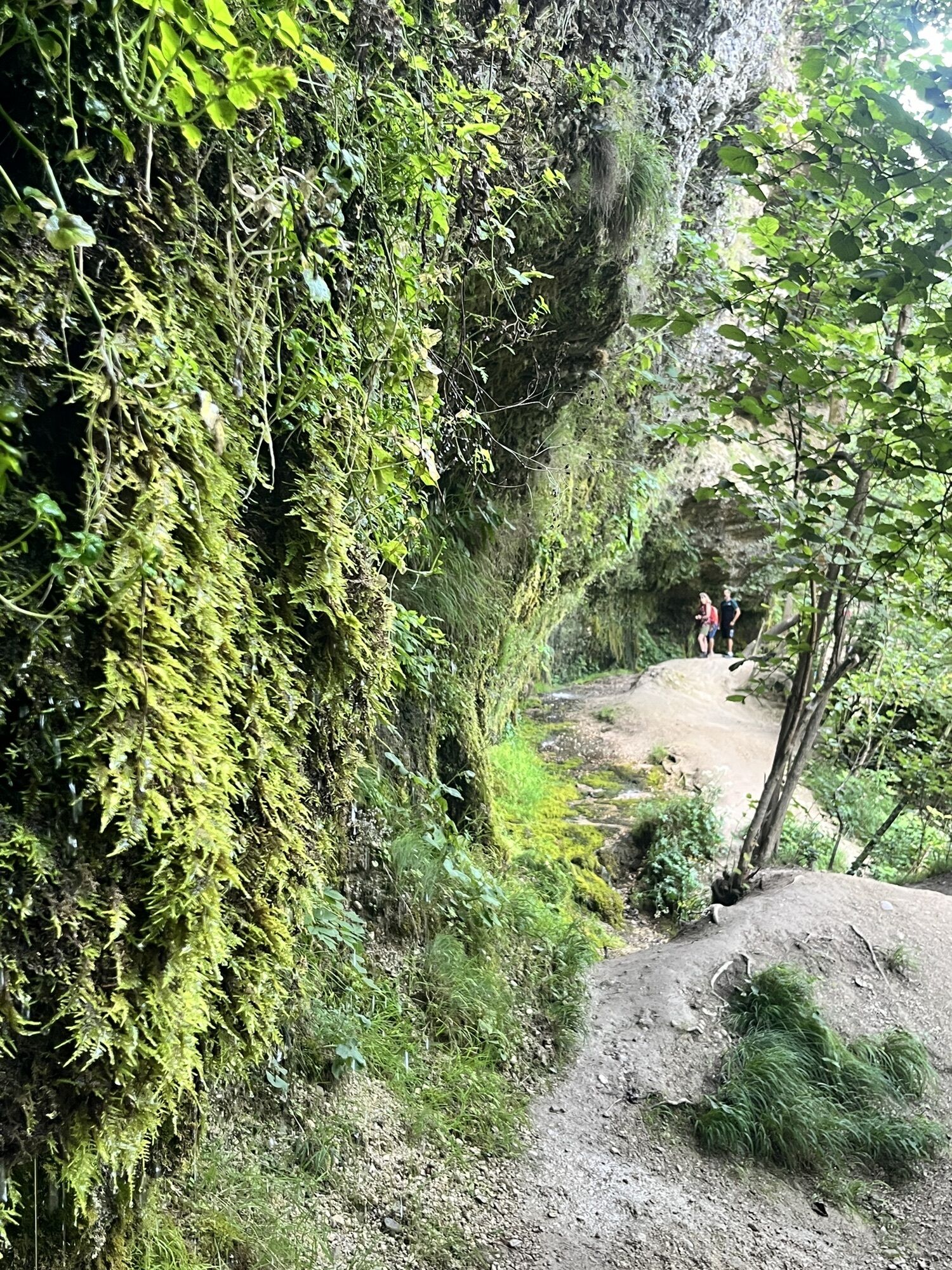
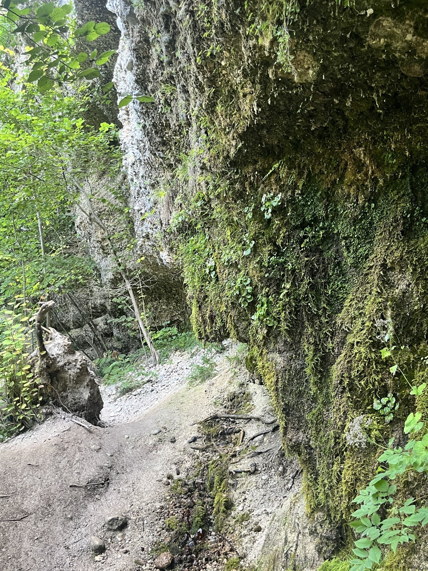
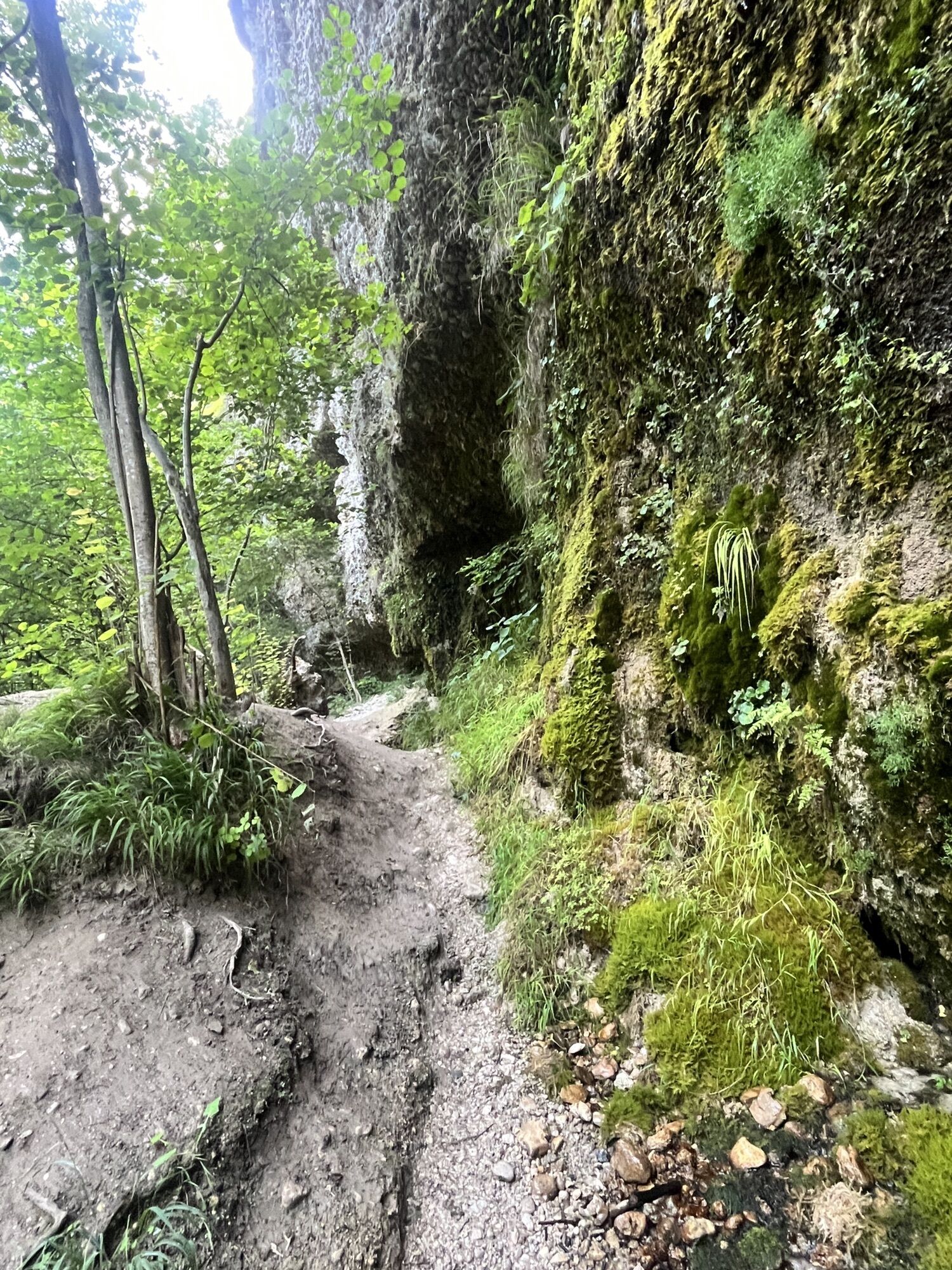
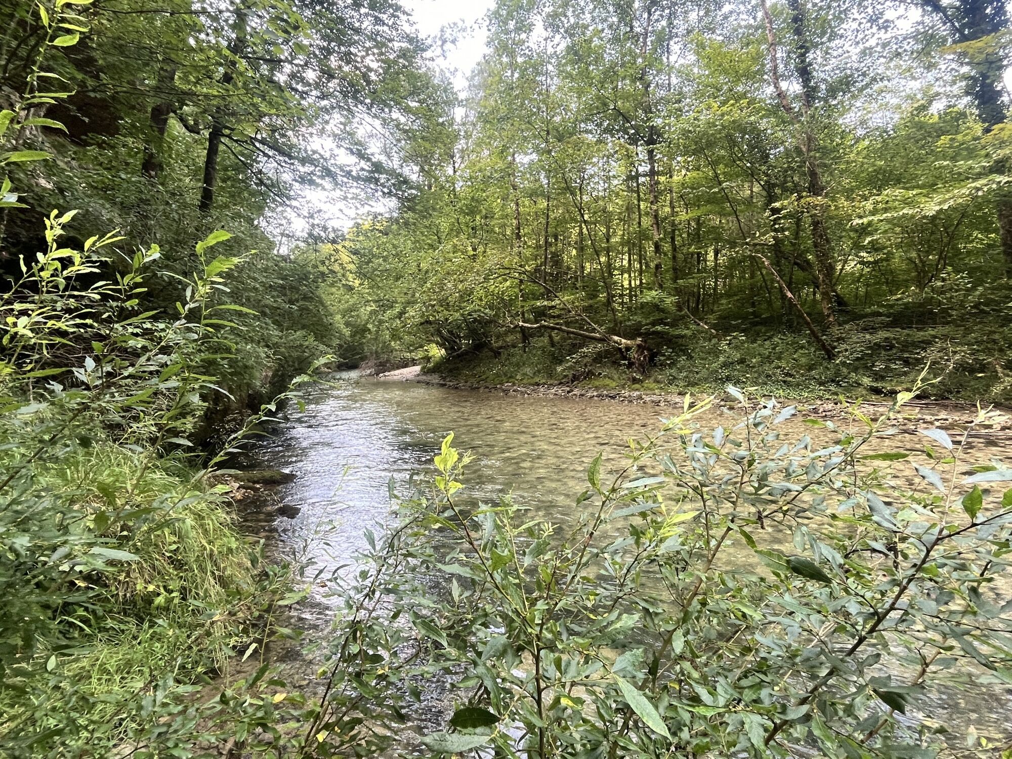
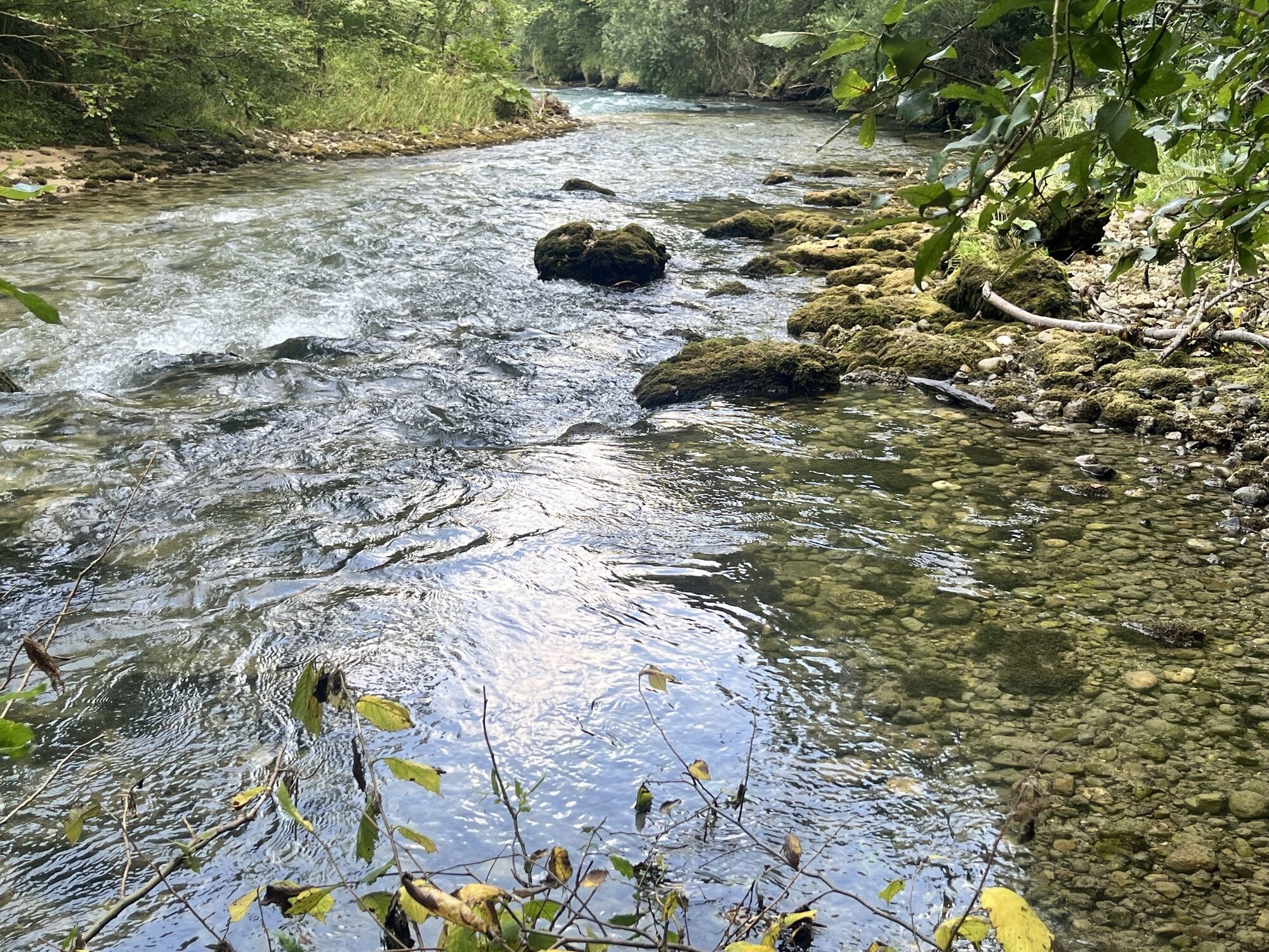
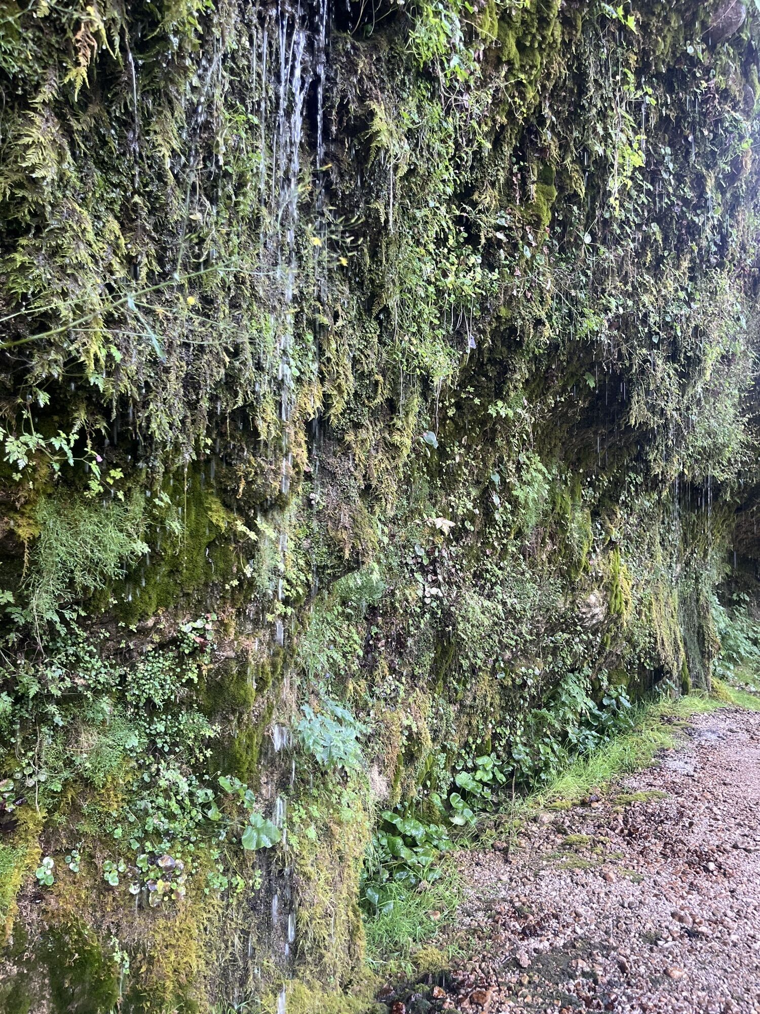
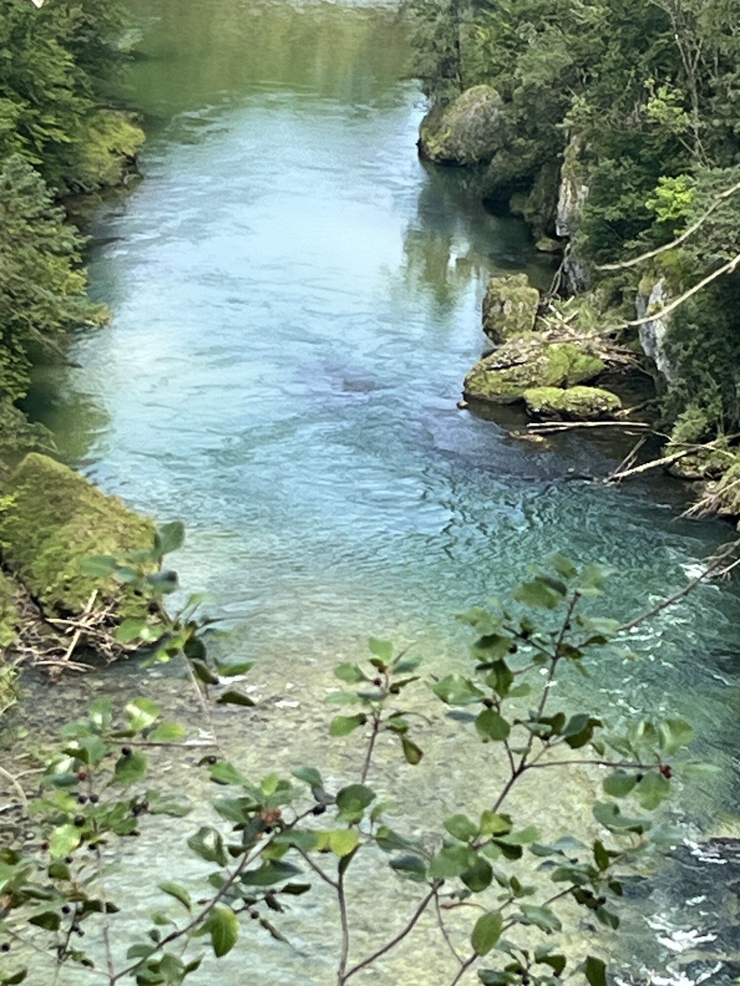
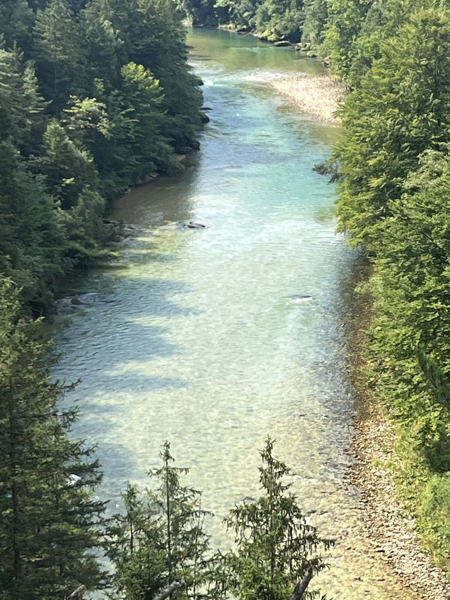
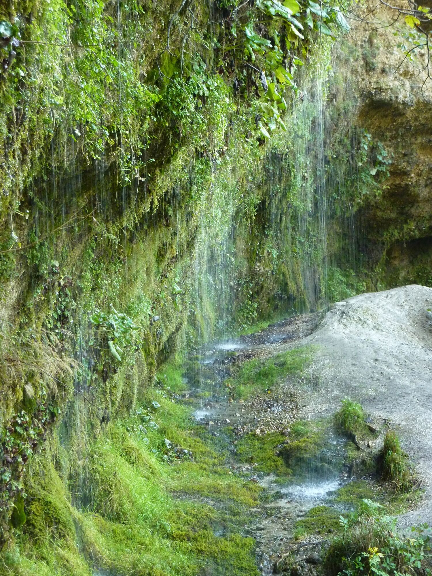
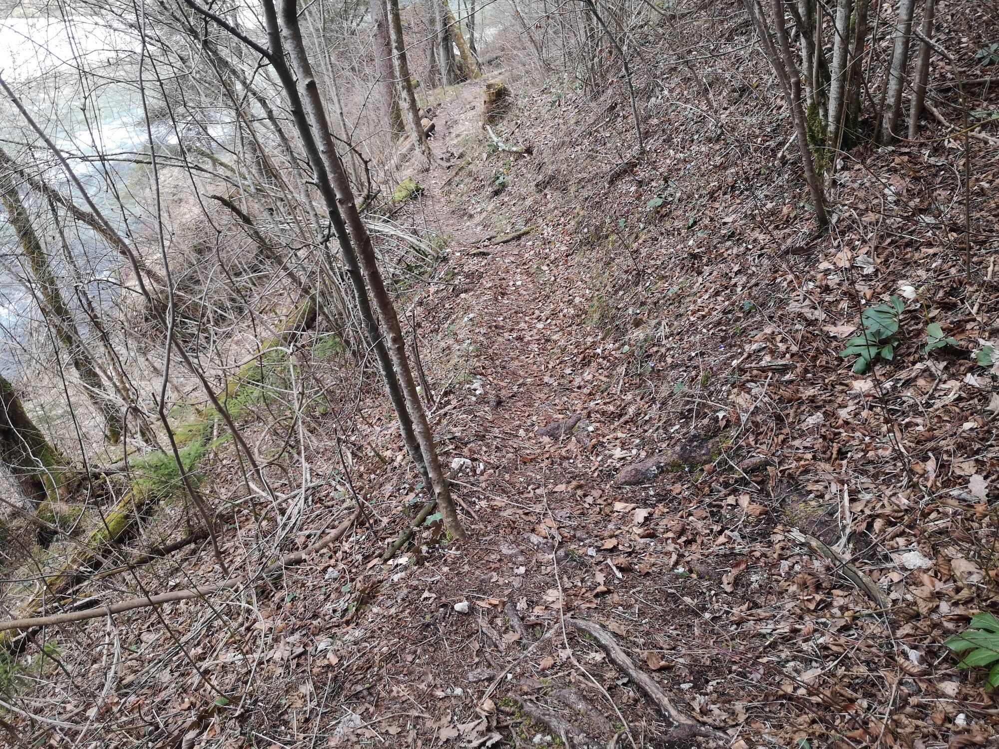
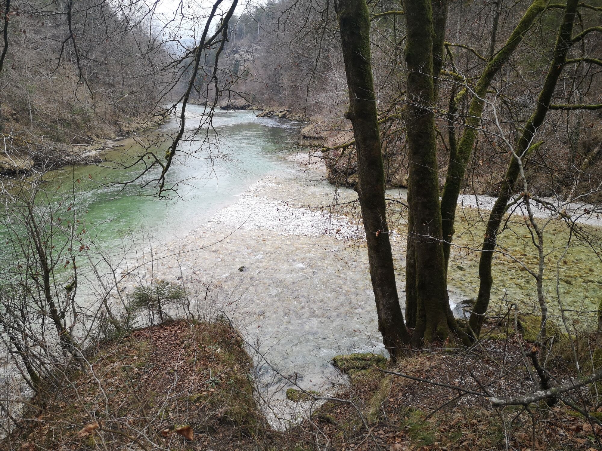
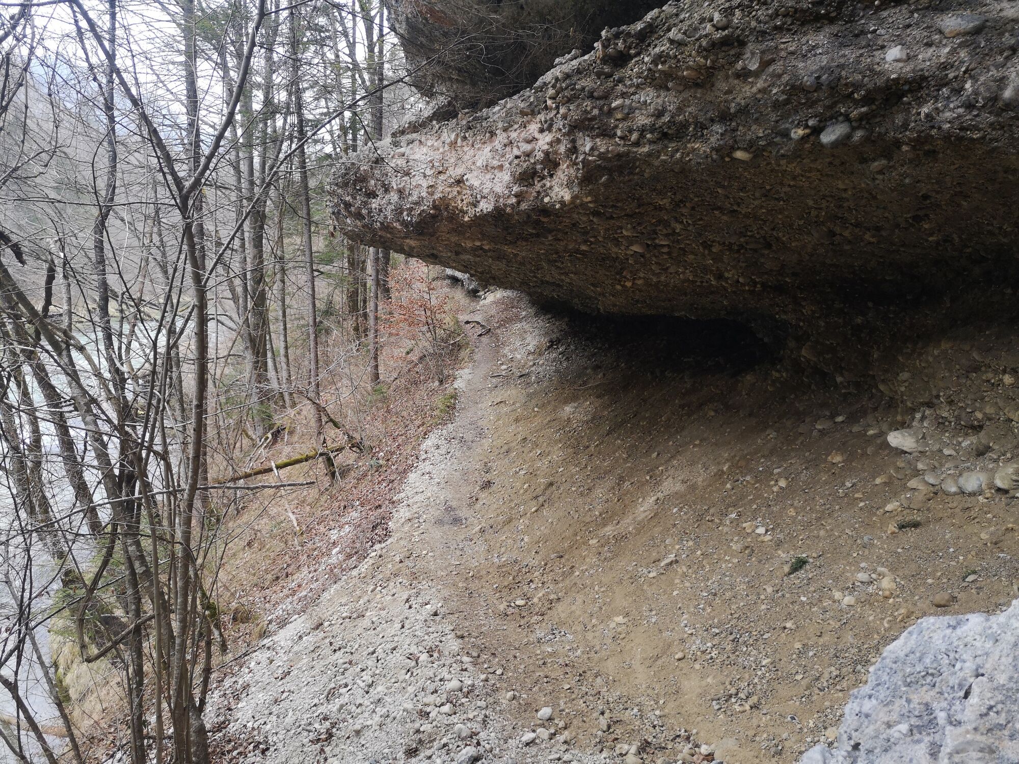
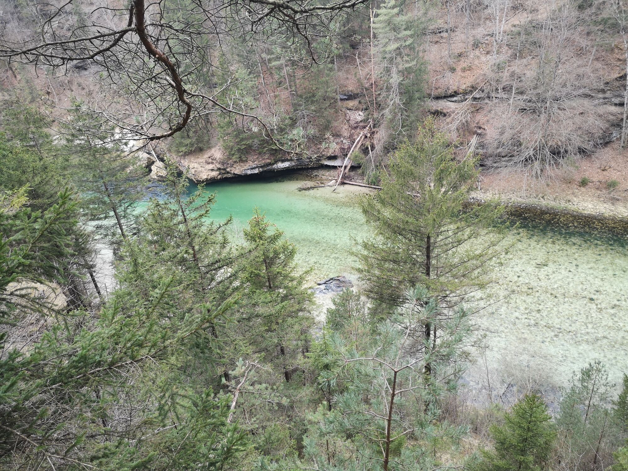
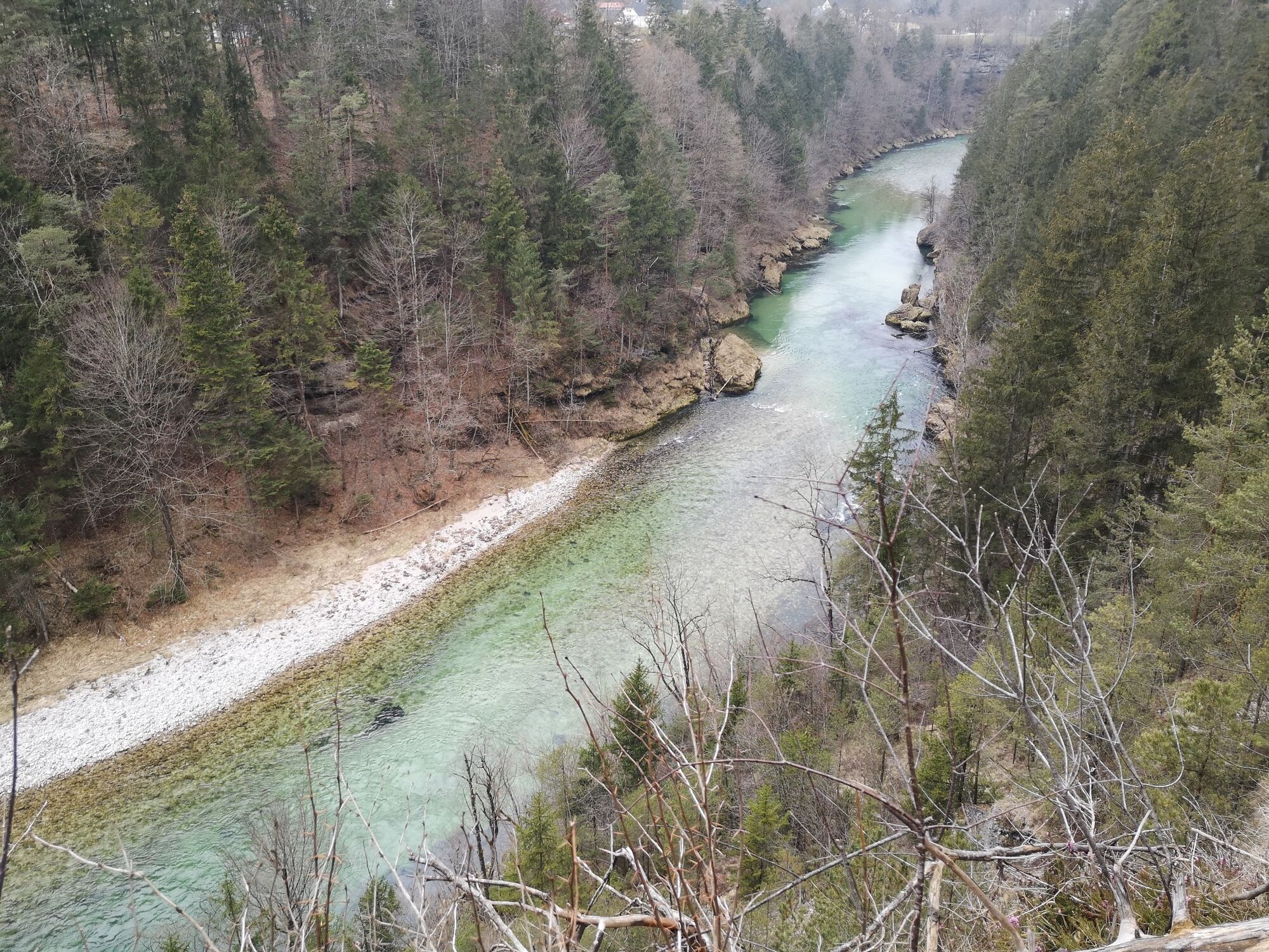
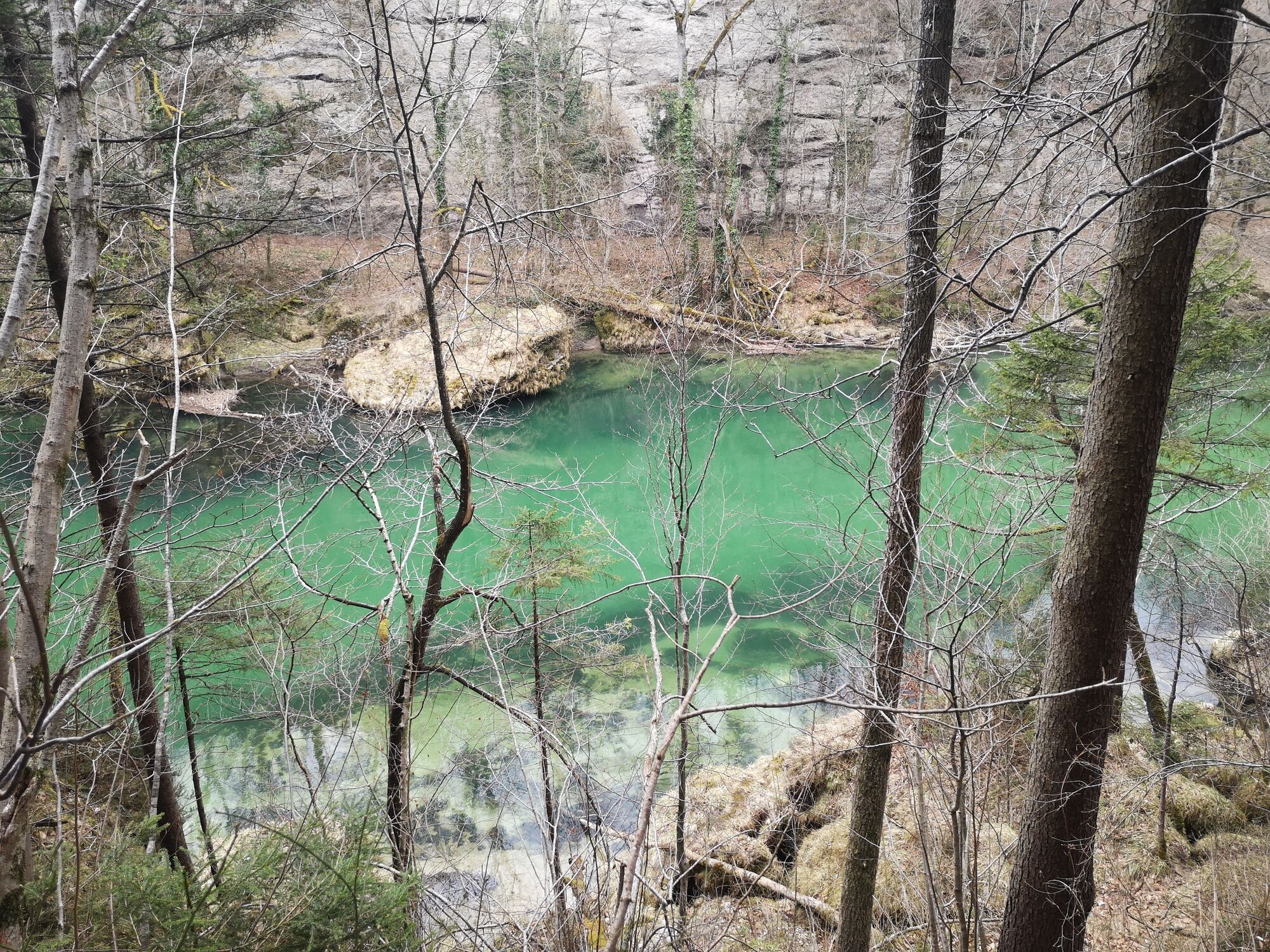
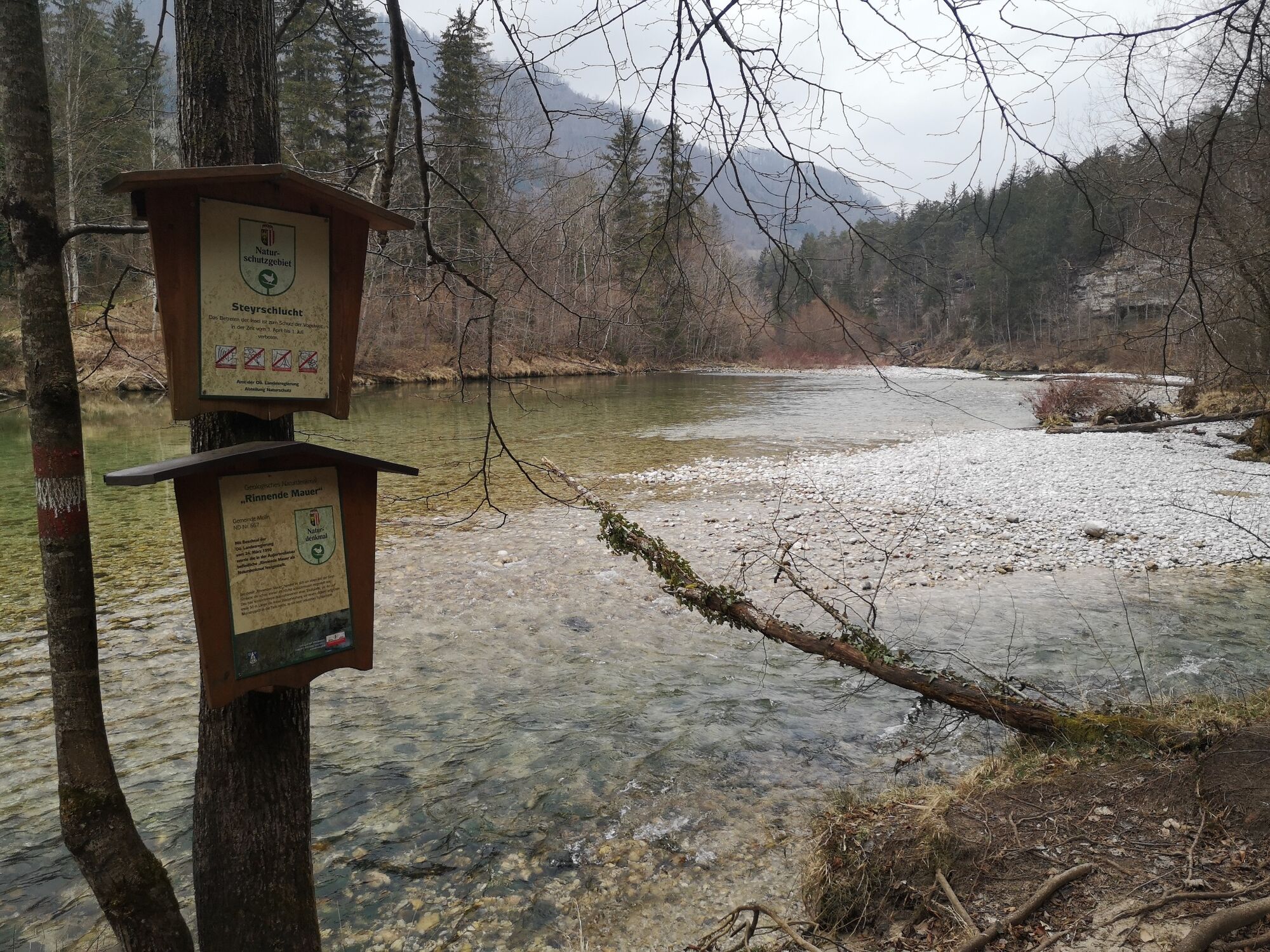
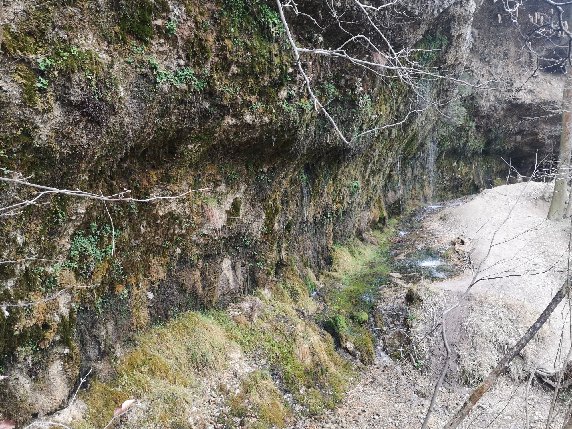
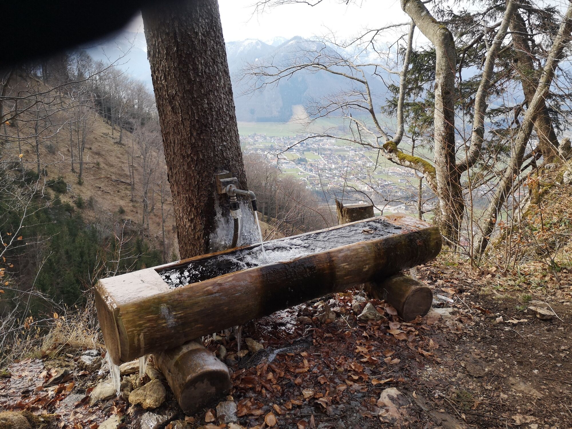
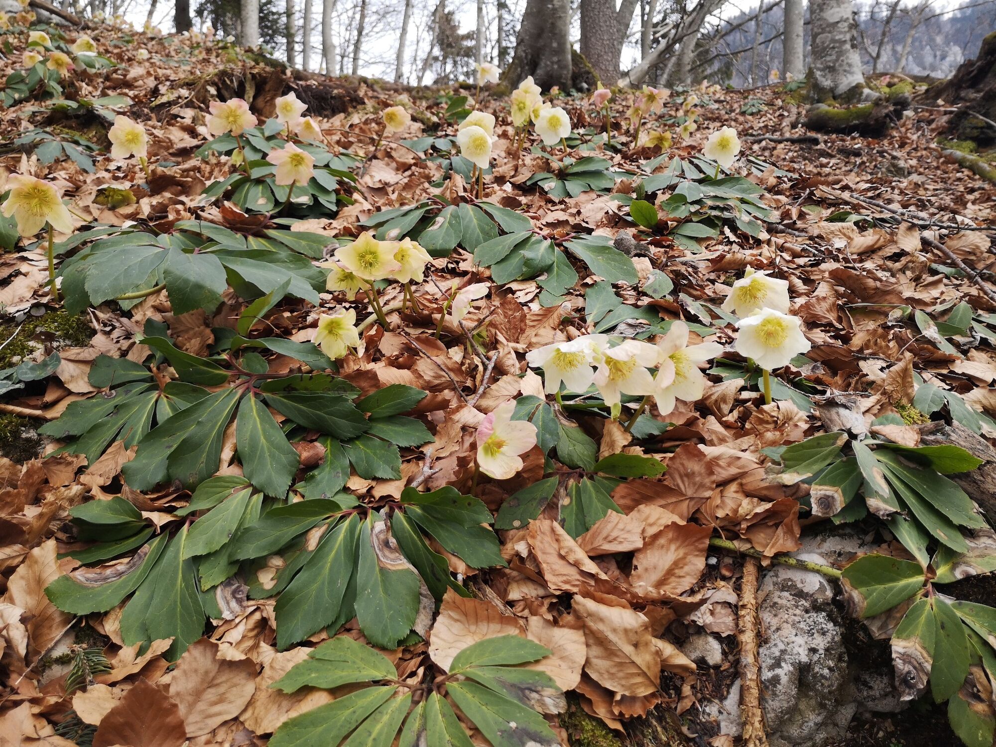
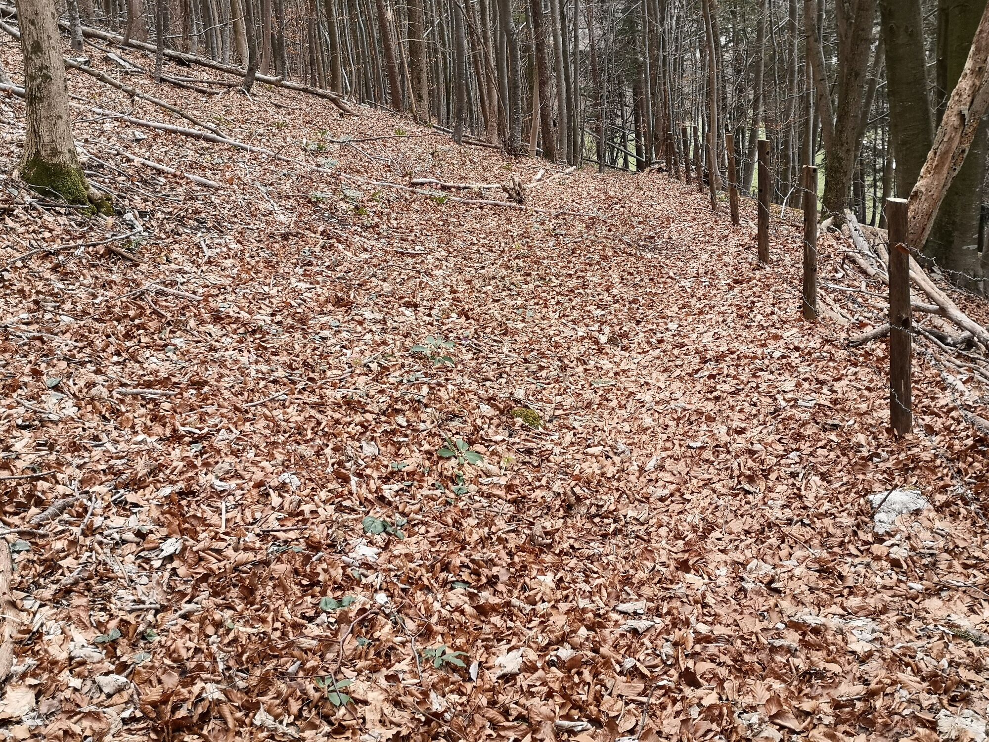
Then simply follow the signs "Rinnende" Mauer". Soon you come to a hiking trail that runs directly under the car bridge. The quite rooty path leads along the Steyr up and down again and again and offers wonderful views of the partly turquoise shimmering Steyr. After 2.5 km you come to a small wooden bridge where the crooked Steyrling flows into the larger Steyr river. After about 4 km there is a junction where you can turn left down to the Rinnenden Mauer or continue on the Salzsteigweg. It is a short but steep descent to the Rinnenden Mauer to the river, until you are faced with a natural phenomenon. Water emerges from a so-called eaves source over a length of 50 meters like a fine curtain of water from the rock. Especially after rainy days, the natural spectacle can be observed very well.
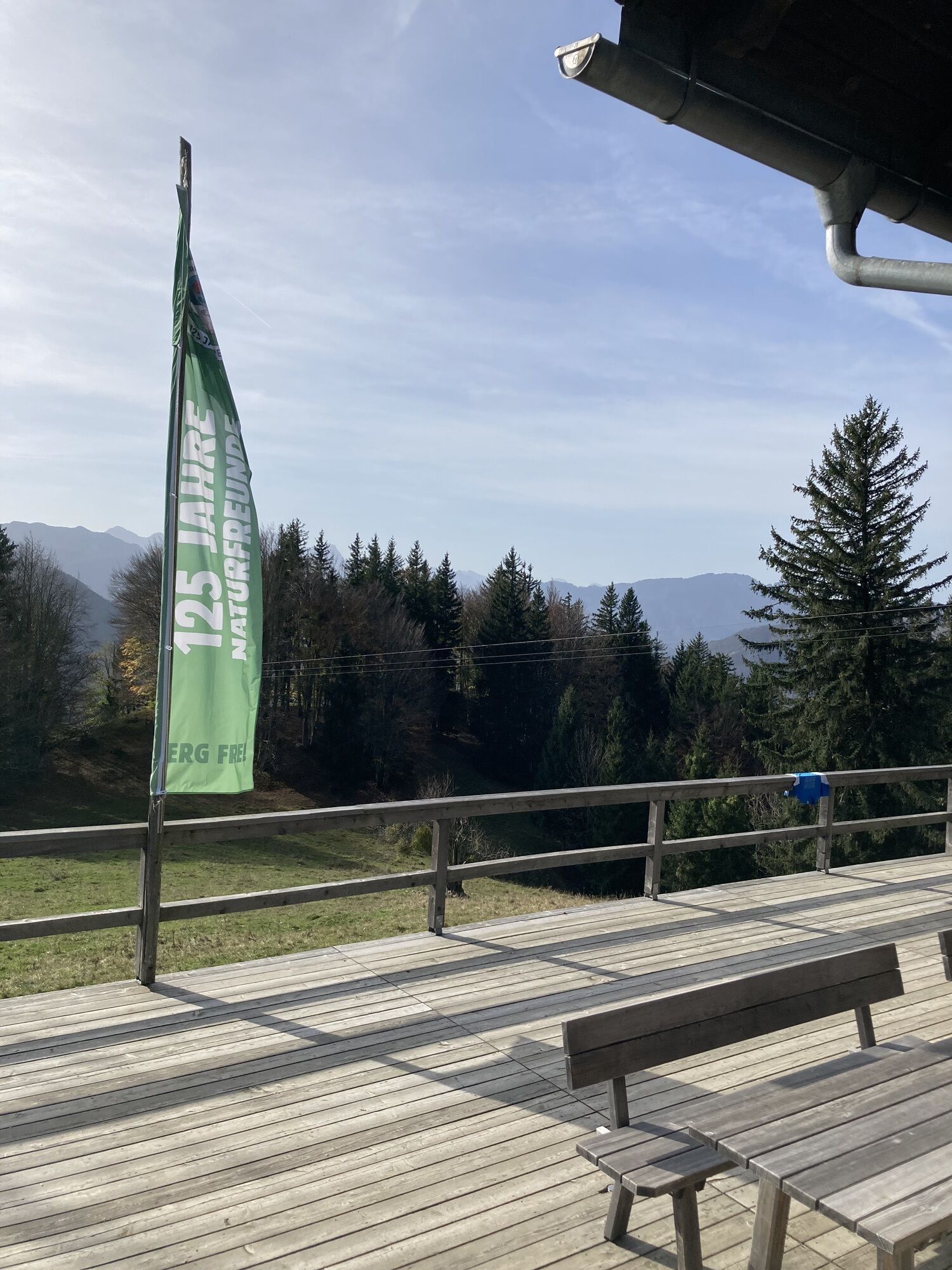
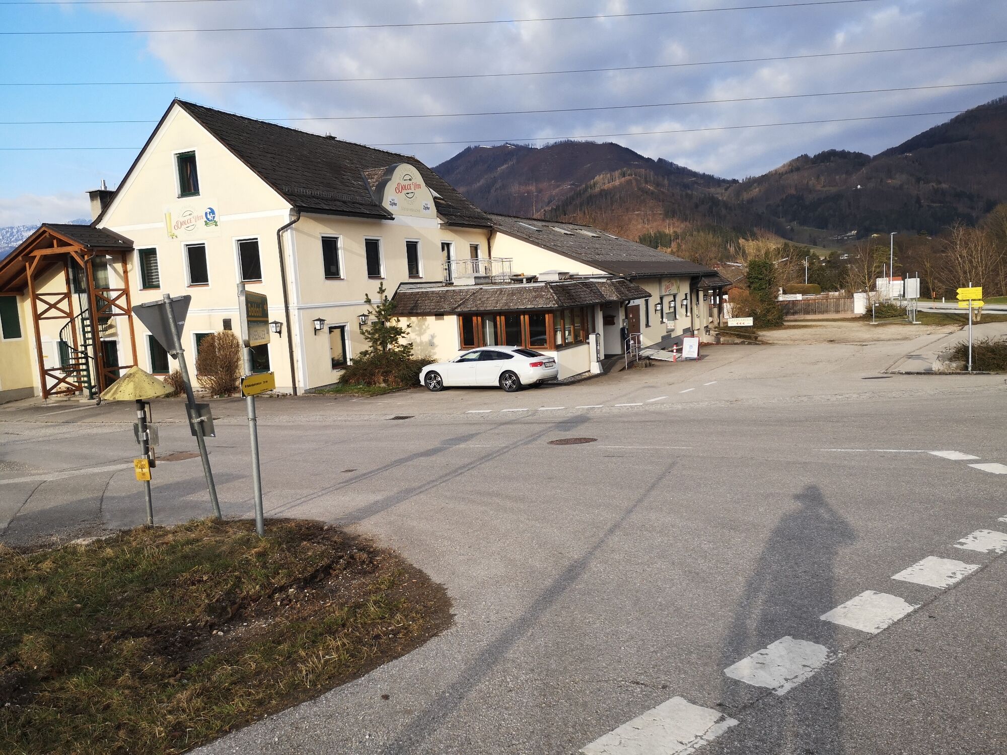
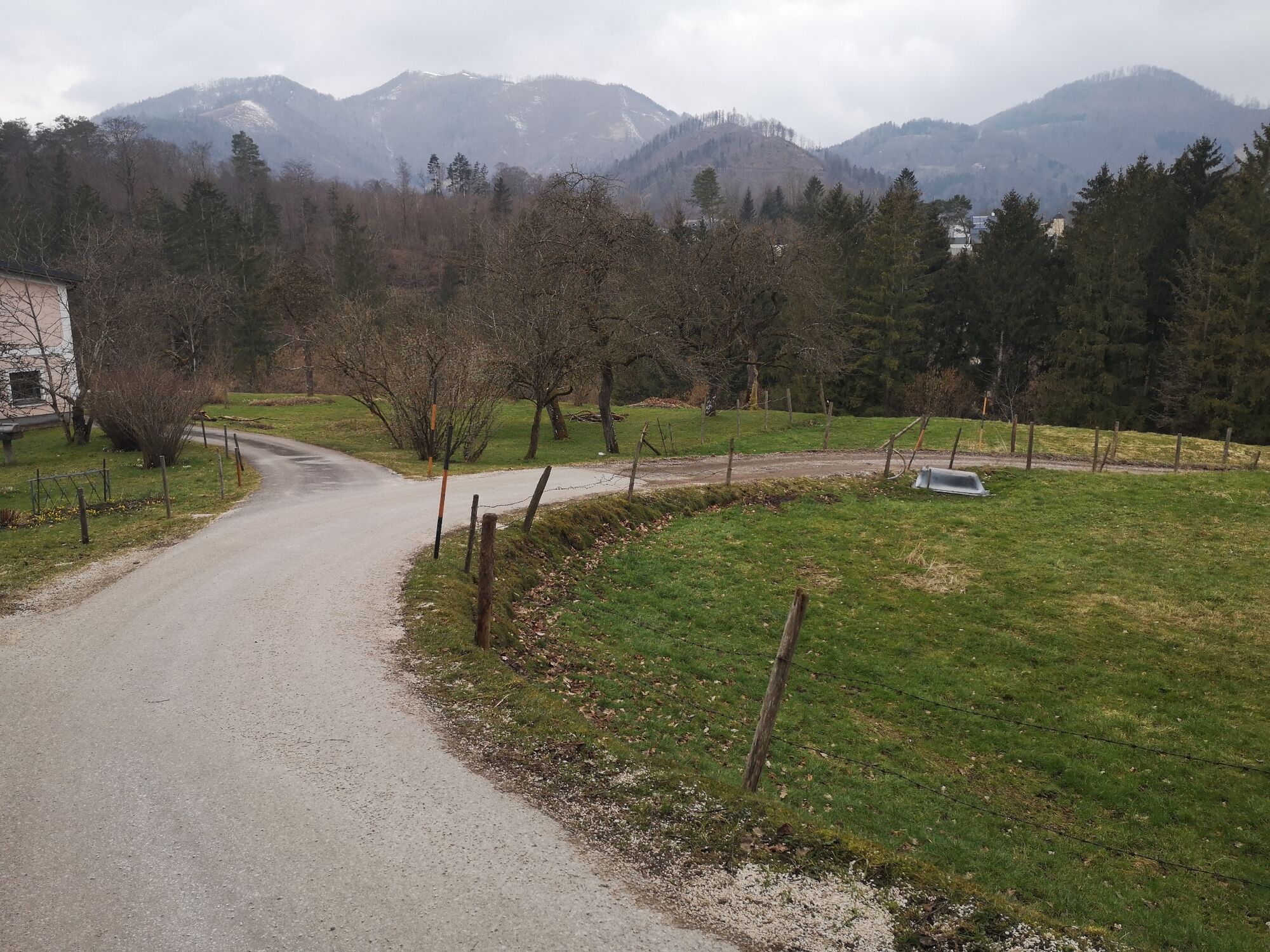
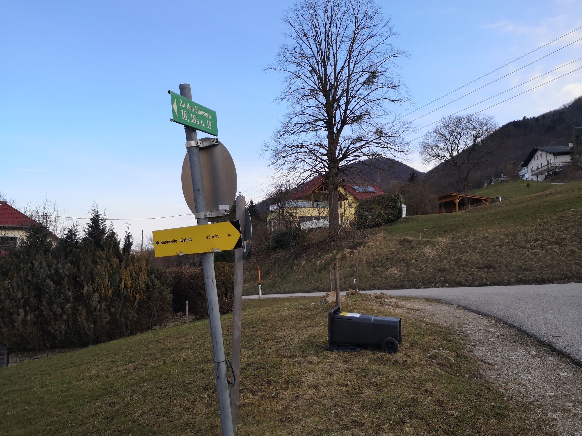
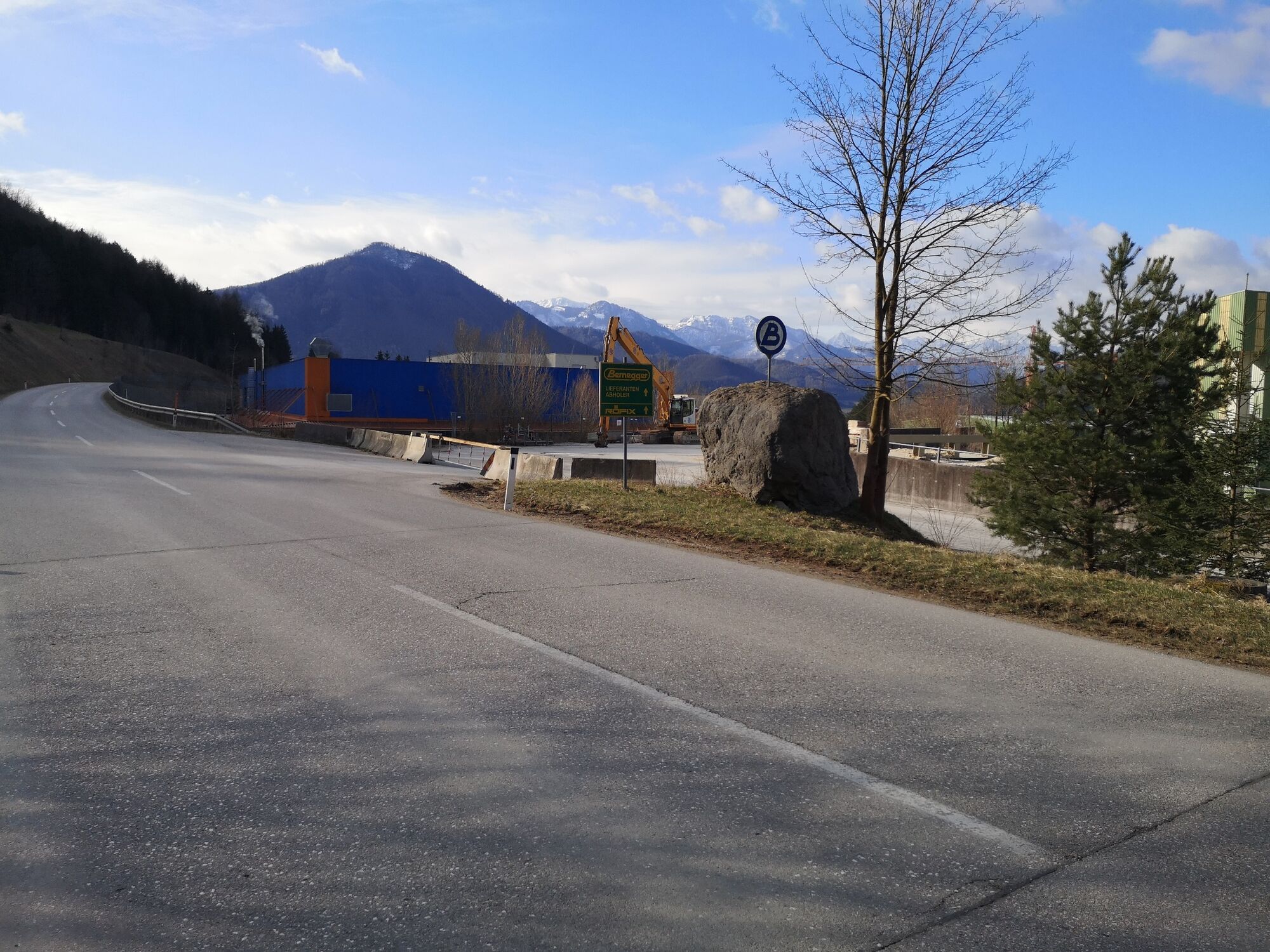
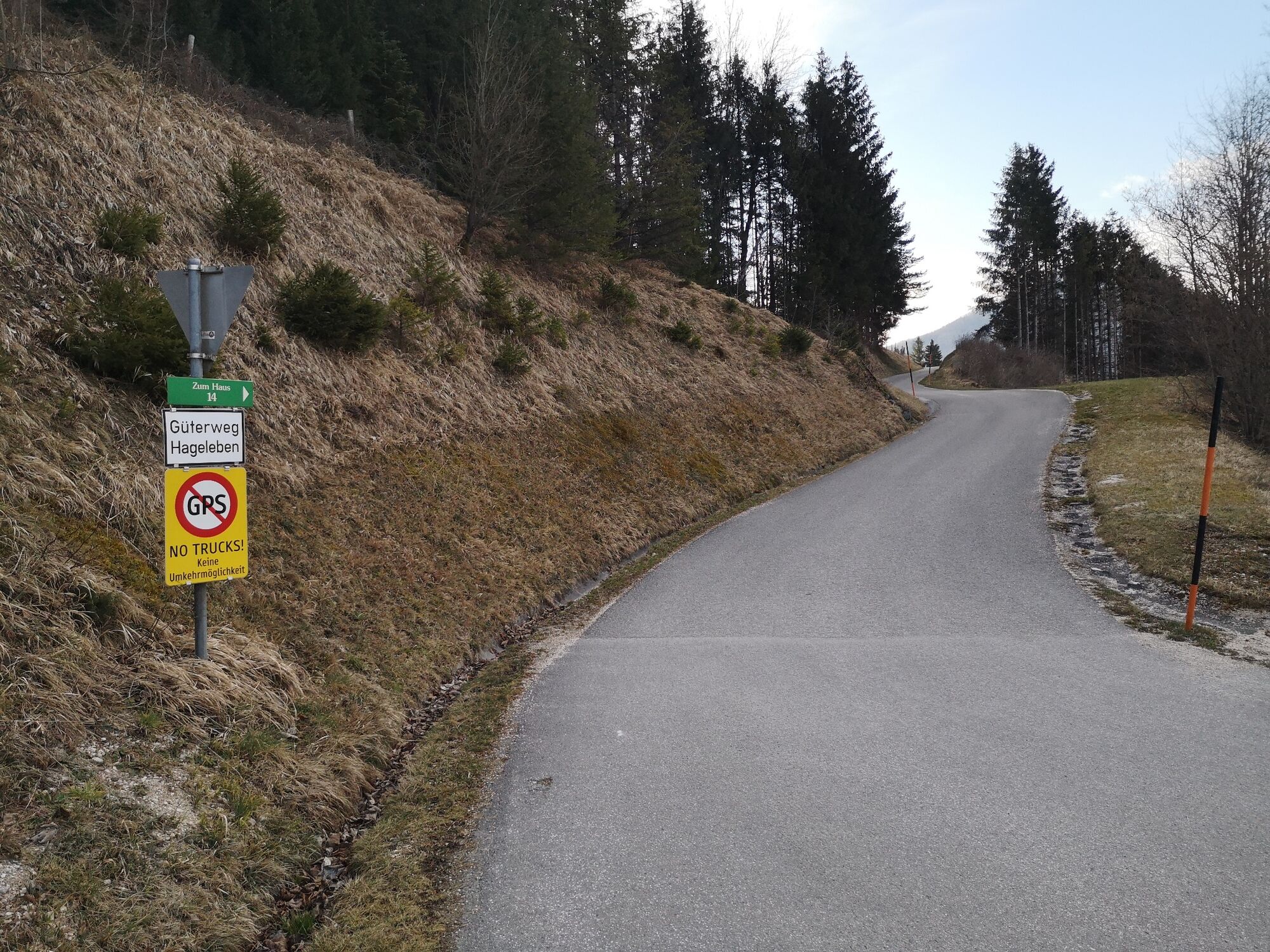
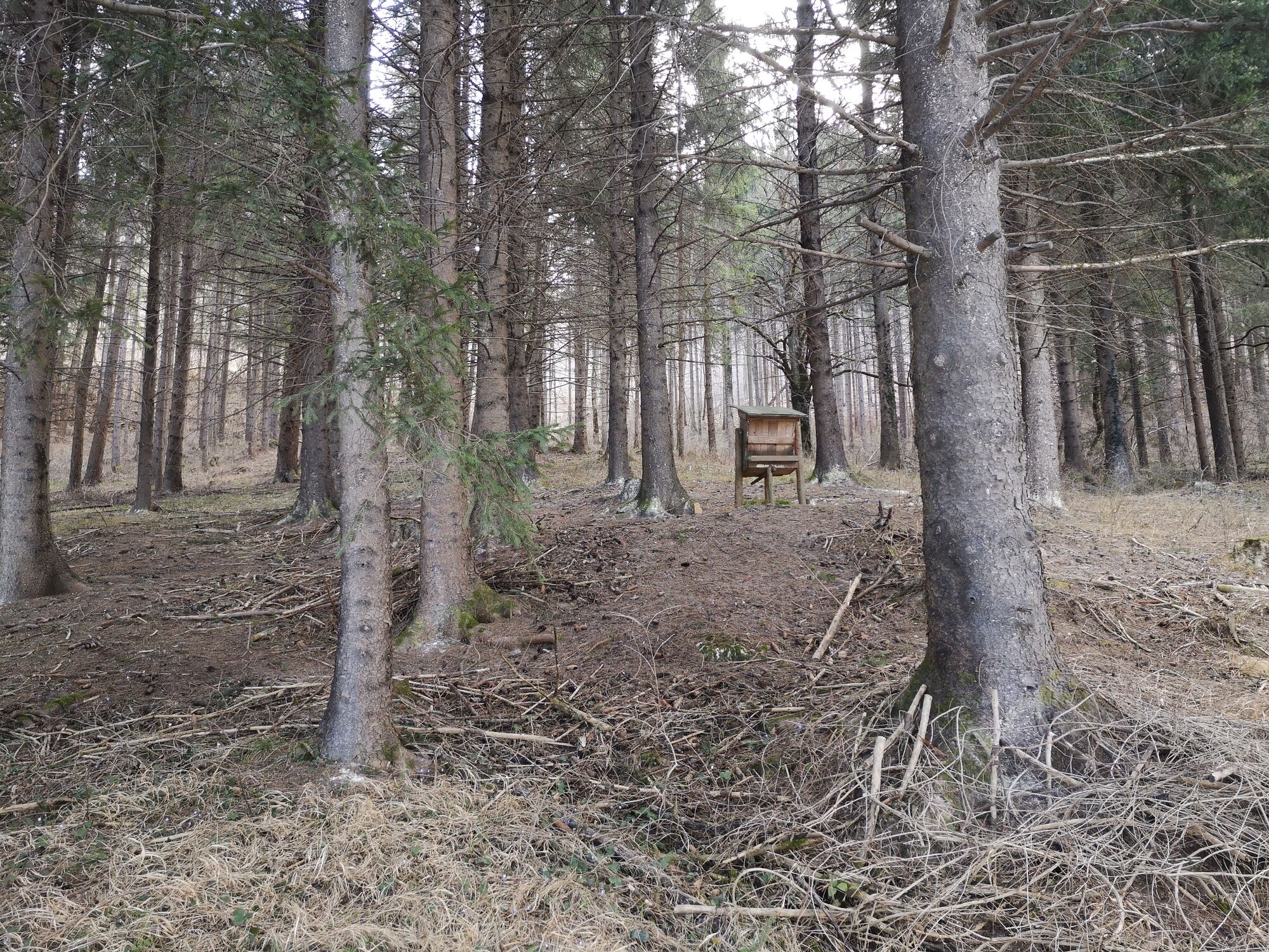
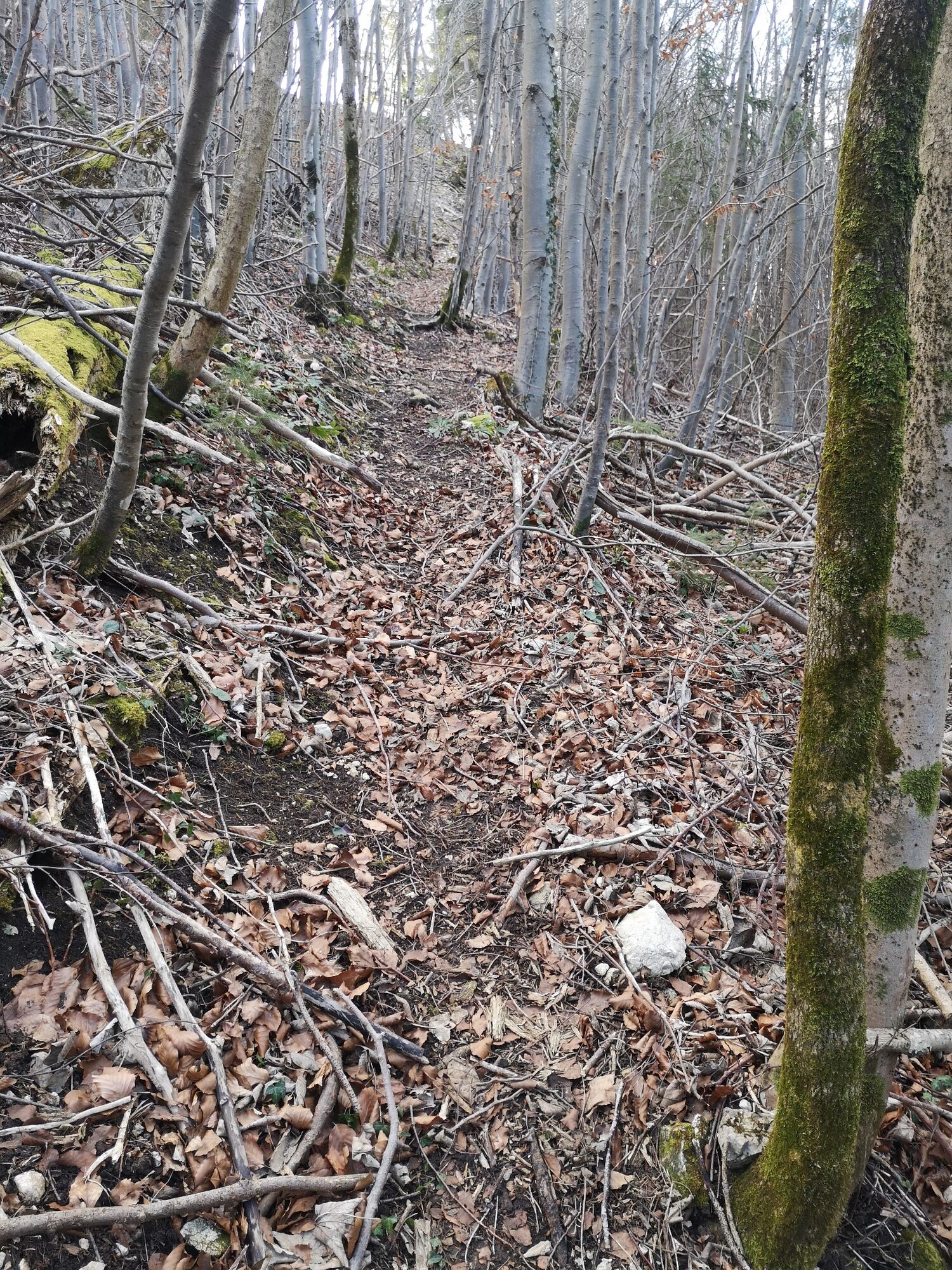
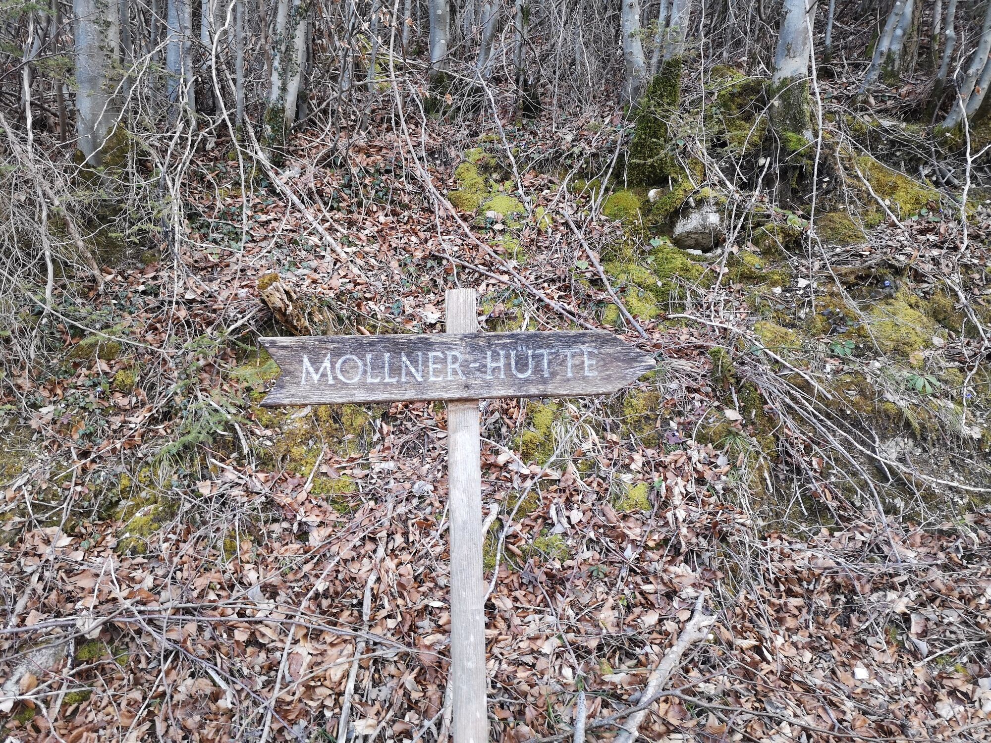
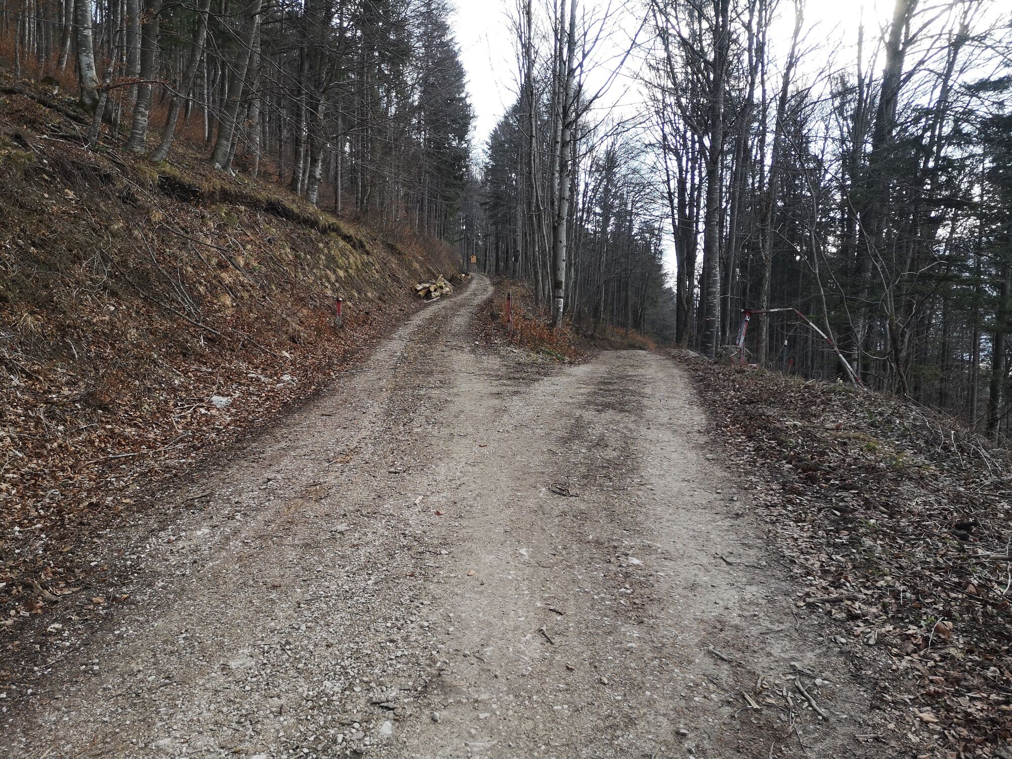
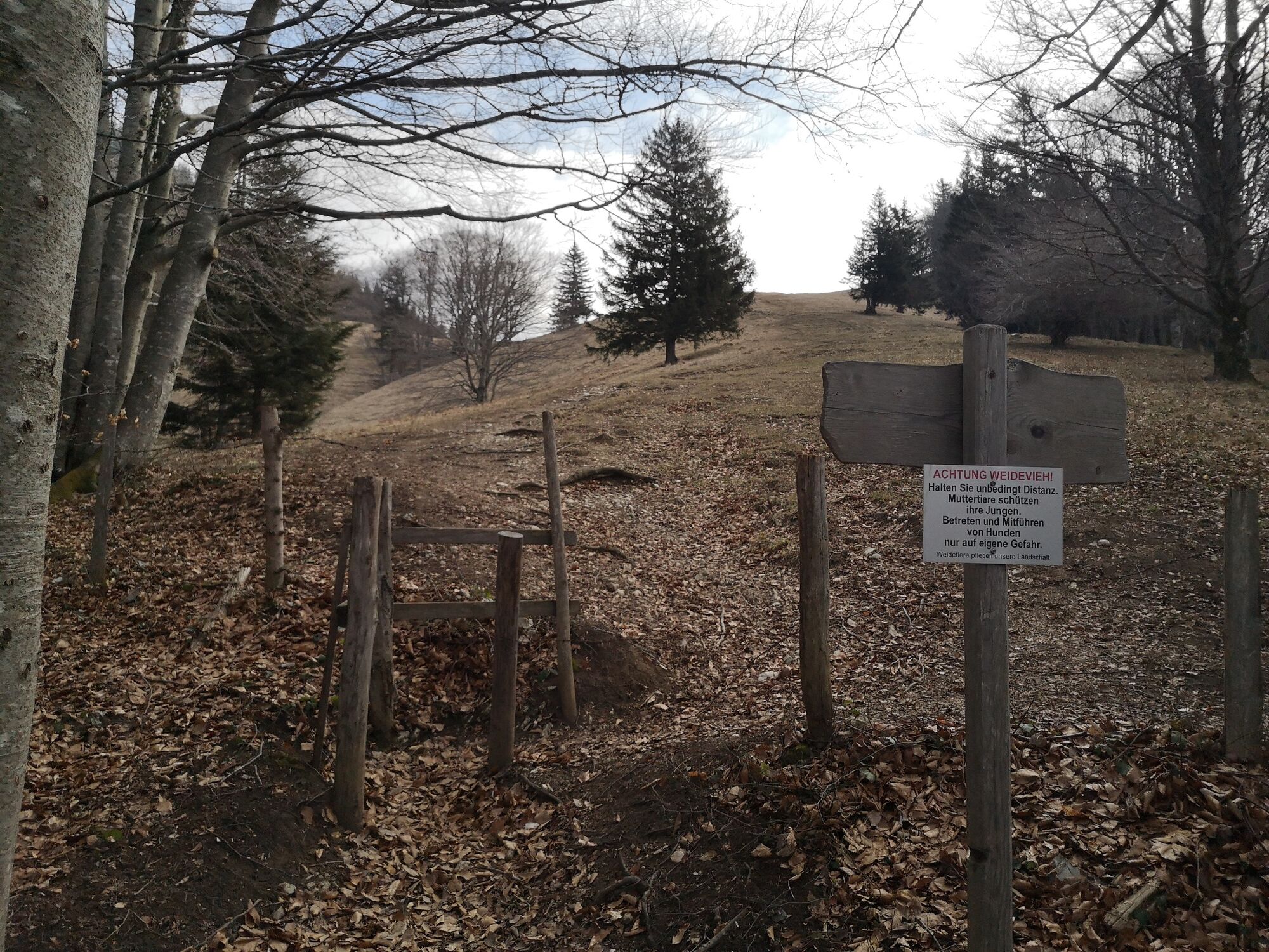
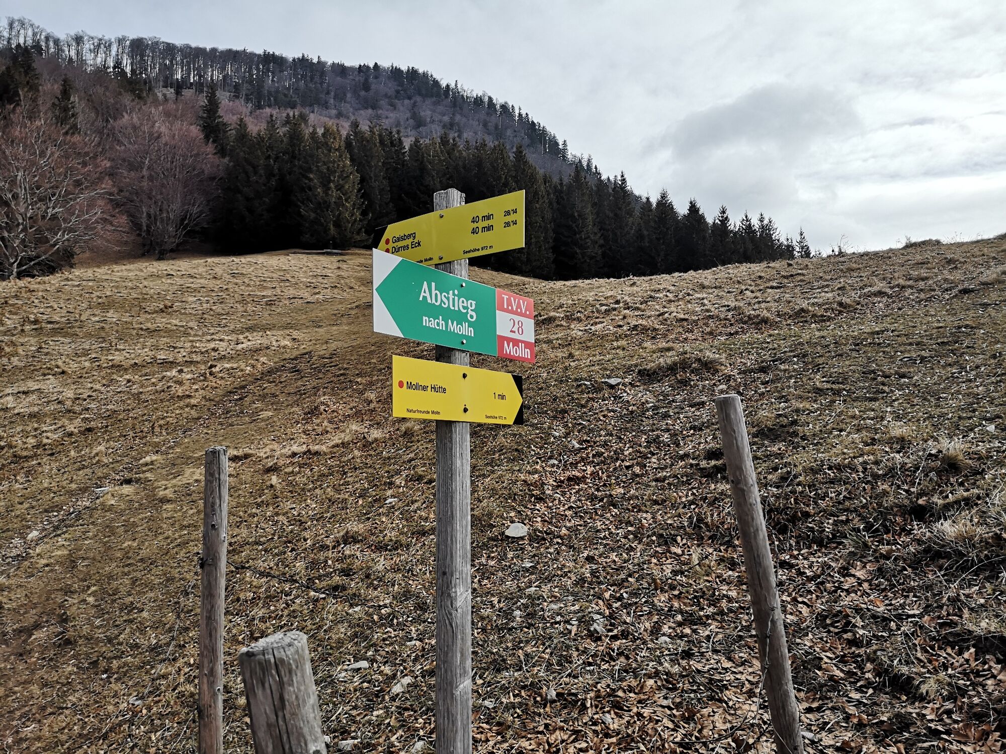
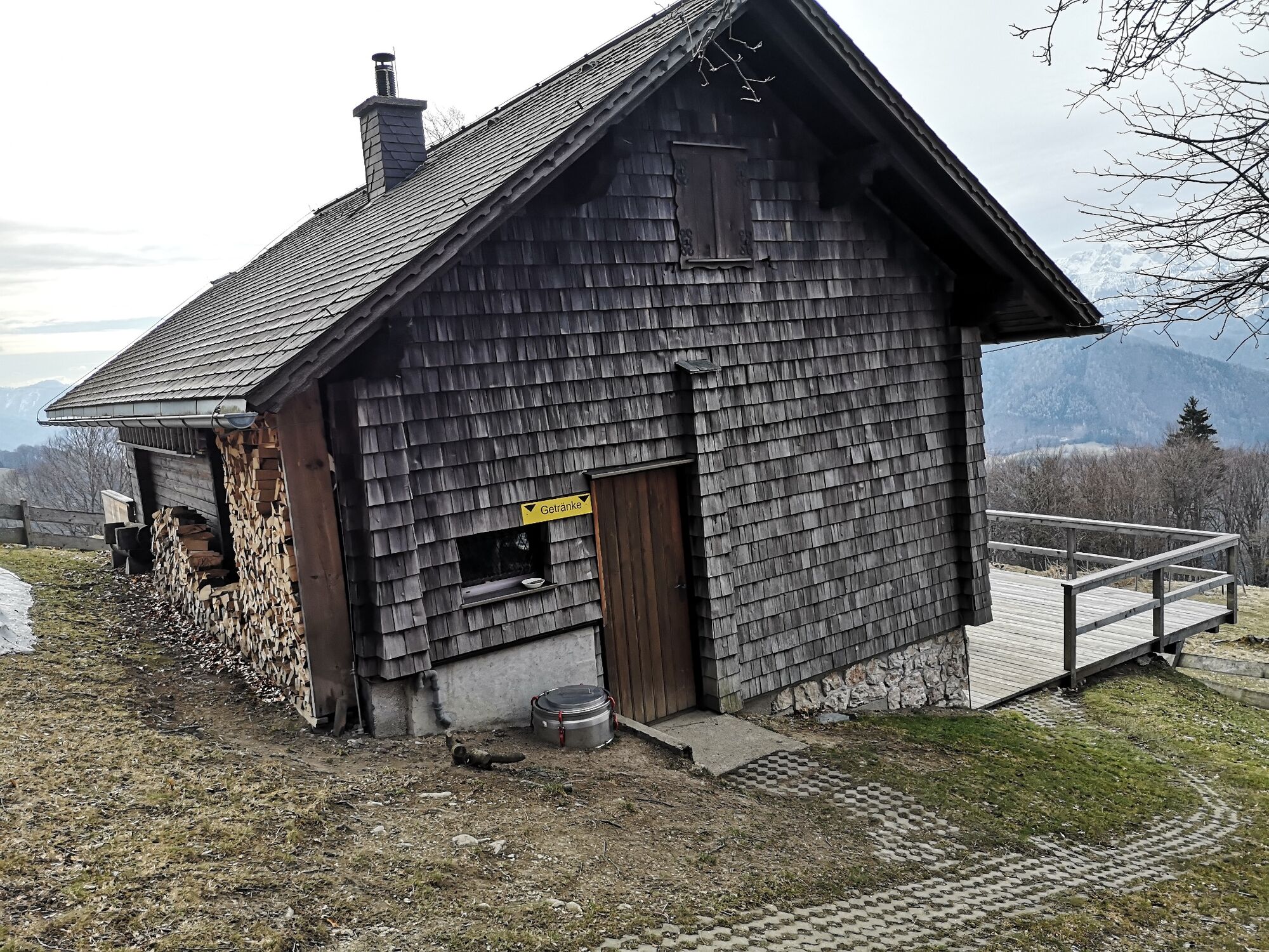
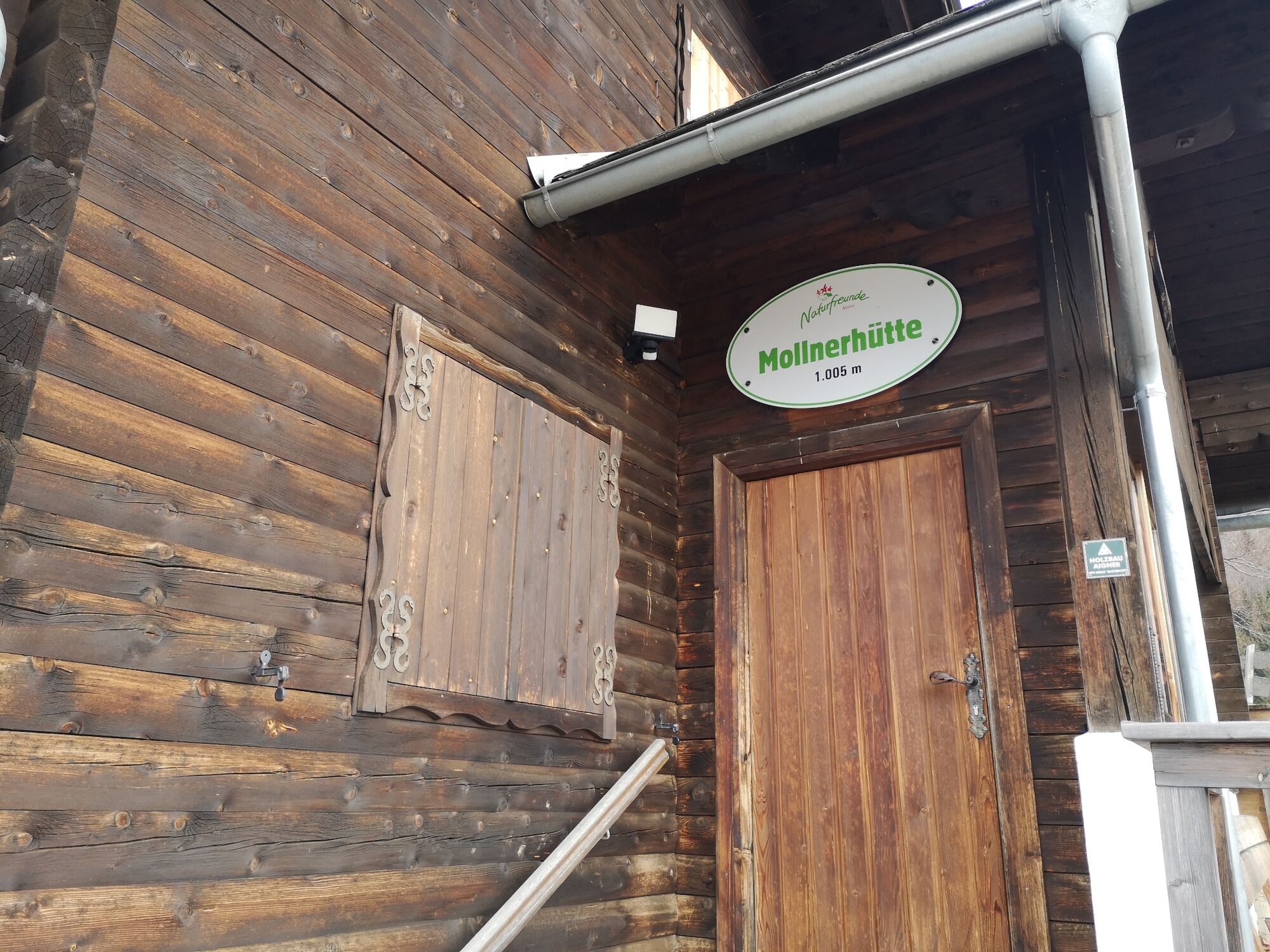
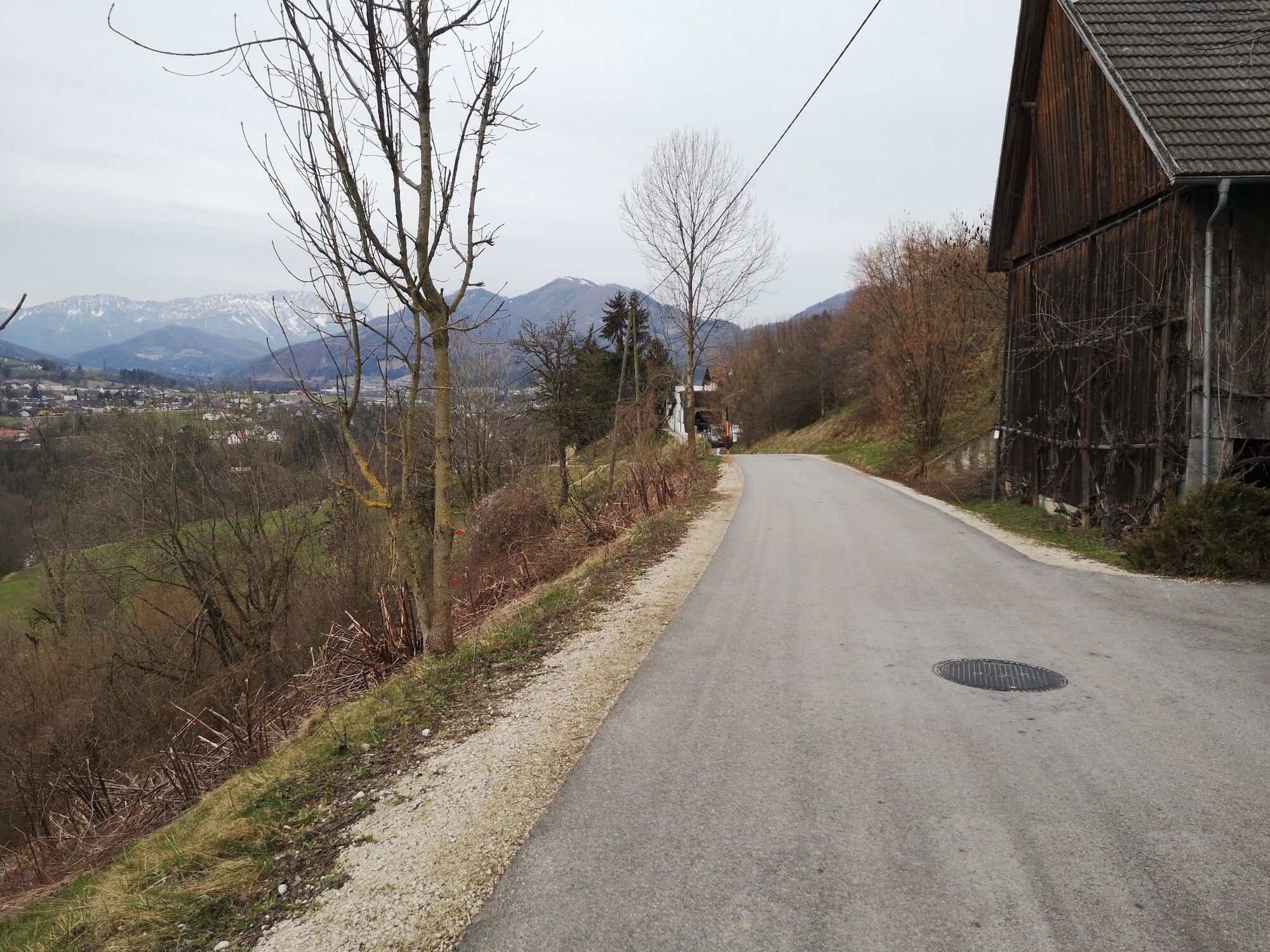
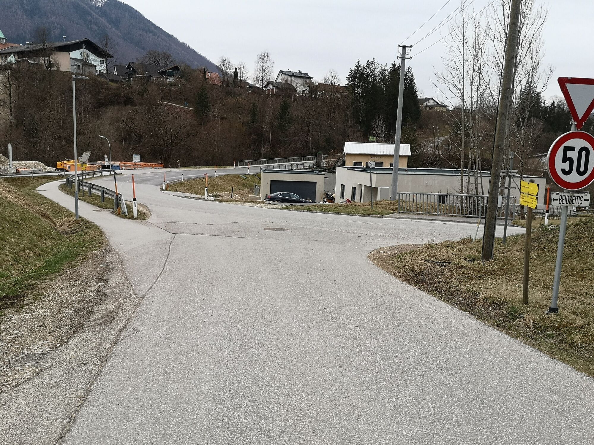
Back to the junction and then continue to follow the Salzsteigweg in the direction of Gradau until you come to a farm with a stud farm on the left after a total of 5 km at the intersection with Haunoldmühlstraße, turn right here in the direction of Molln (sign “Sonnseite Gstadt”). Then you walk a bit along the asphalt road past the entire Bernegger site on the right, turn left at the end of the site up the road (Güterweg Hageleben) and then immediately left again, where the asphalt road turns into a forest road after about 100m. A few 100m further on you can see a fodder grip on the top left, here you have to turn right into the initially quite inconspicuous hiking trail, directly past the fodder grip and follow the path straight up until you come to a forest road further up. Turn right here (see sign "Mollner Hütte"), after a while along the forest road there is a fork, keep left here, at the end of this road a hiking trail leads up to the left through the forest and at the end a bit over a meadow up to the Mollner Hut.
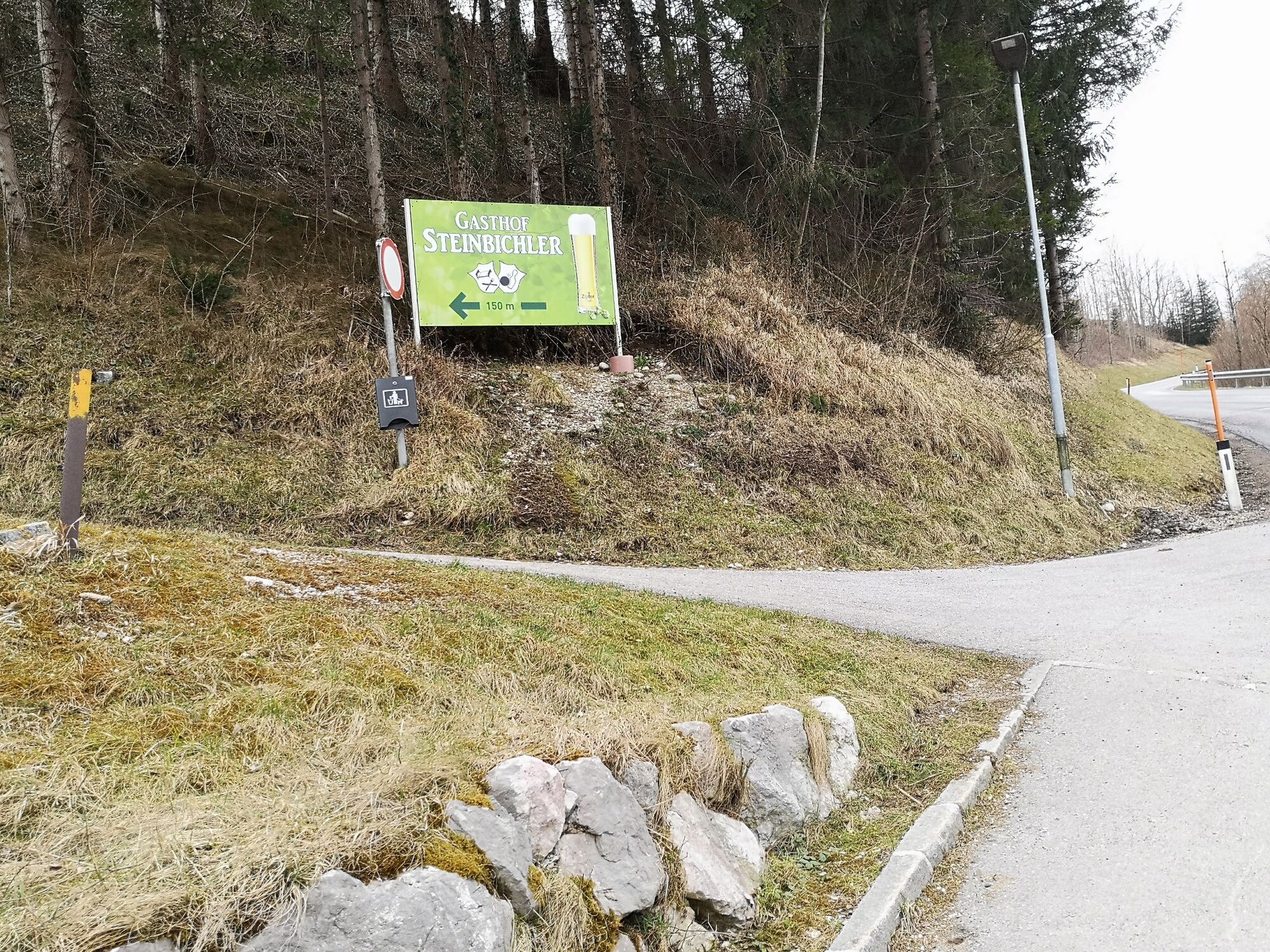
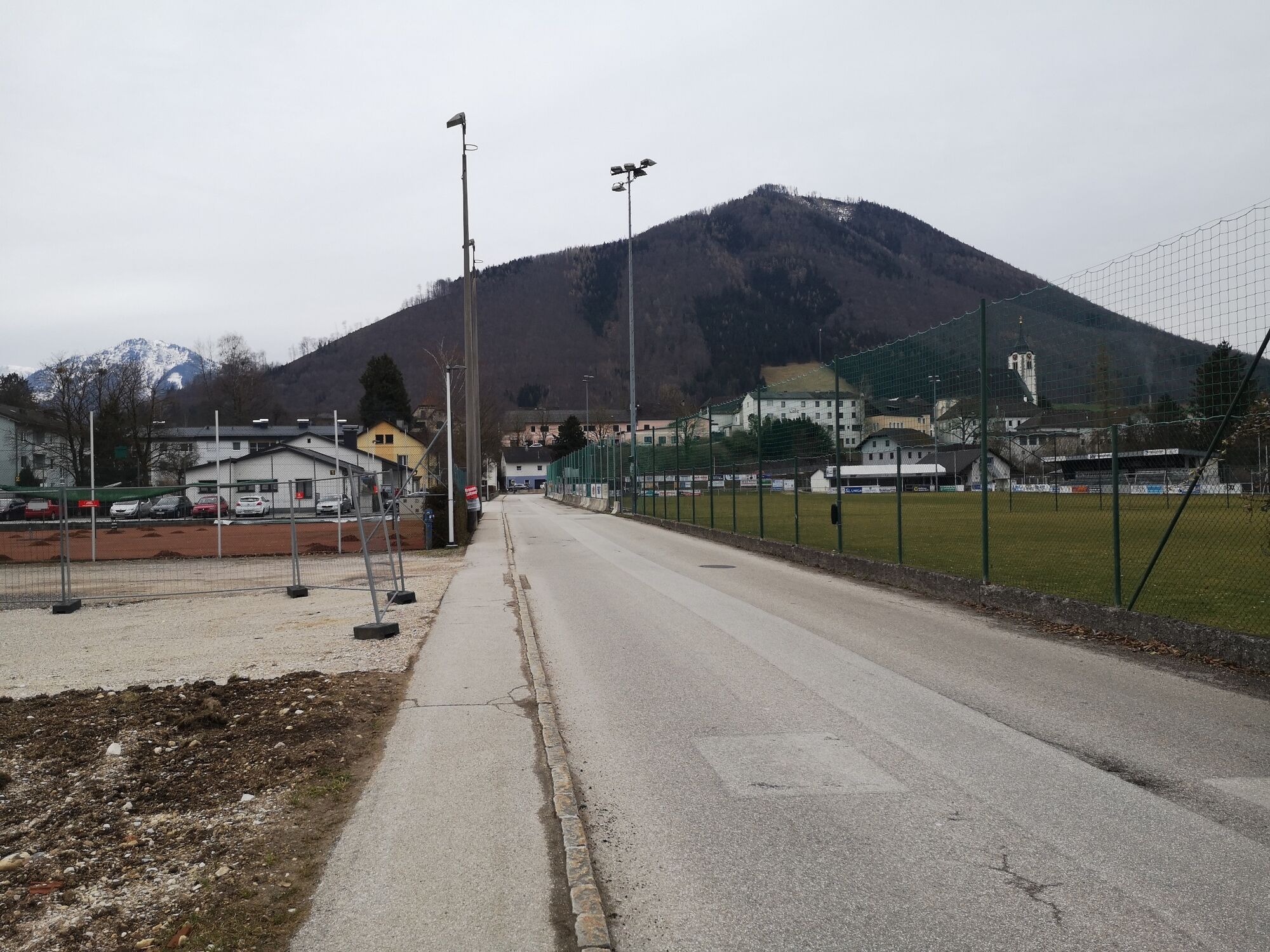
Once at the top, the path then goes straight down below the hut and then simply follow the marked path through the forest until you come down on an asphalt road. Here you turn right. The church tower of Molln is already in view and you are about 3 km from your destination. After a while along the road you can see the striking Piesslinger company area on the bottom left, from here it is not far anymore until you cross a bridge and shortly afterwards turn left up directly at the signage for the "Gasthof Steinbichler". After that, you can just walk straight ahead and you will come directly to the church, where you will soon be back at the starting point.
The required equipment always depends on the particular tour and the weather conditions. Regarding the food: This is very individual and it is recommended to have rather too much than too little with equipment and food. For a 5km round in the valley you need less than for a demanding tour in the mountains. The weather can change quickly and if you are not constantly on the move or need to take a break, for example, warming clothing is of great importance.
We have a general checklist for you here:
Weather-appropriate running gear for the season - weather forecast - region - elevation. This includes:
* a waterproof rain jacket
* a waterproof rain trousers suitable for running
* Gloves and warm headgear (hood/headband/towel).
* sunglasses + sunscreen + headgear for very warm days
Trail running shoes Drinking bottles, softflasks or a hydration bladder with enough liquid for the respective tour (if necessary also salt tablets/magnesium) Snacks for the energy boost in between: Energy bars, gels, chocolate, trail mix, Running backpack: ideally a trail running vest / a trail running backpack or a belly belt for small tours. Drypack: to keep your valuables or change of clothes dry (optionally a small garbage bag). Emergency blanket Small first aid kit. An Israeli bandage is highly recommended: this is a one-handed wound and pressure bandage. Details can be found here. Emergency whistle (often integrated in trail backpacks) Cell phone Maps (online and/or offline) E-card or insurance card Some cash Grödeln/Spikes: these can be a great advantage in winter and icy conditions. Folding poles for trail running Headlamp
On hot summer days you can take a dip in the cool water along the Steyr River to cool off.
At the top of the Mollnerhütte there is also a self-catering drinks depot on days when the hut is not open.
Популярные экскурсии по окрестностям
-
4,4
Ternberg -Schoberstein
среднийПоход 6,60 км -
4,1
Nackter Kalbling & Pfannstein & Rauher Kalbling
среднийПоход 12,0 км -
4,3
Dürres Eck - Gaisberg - Hochbuchberg
среднийПоход 11,2 км -
4,6
Pfaffenmauer - Schoberstein - Gipfel der Lust Gasthof Klausriegler, Oberösterreich/Österreich
среднийПоход 9,72 км -
4,1
Kremsmauer, Pyramide von Steyrling mit Andi
Поход 10,5 км -
4,7
Kleiner und Großer Landsberg (3.7.2019) mit Sonnenuntergang
среднийПоход 3,51 км -
5,0
Hoher Nock Rundweg über Hagler
тяжелыйПоход 15,4 км -
4,3
Kremsmauer 2022-07-02
среднийПоход 11,2 км -
4,7
Enns Active Trail Ternberg
среднийПоход 4,85 км -
4,8
Schoberstein via Trattenbach/Gasthaus Klausriegler
среднийПоход 2,60 км
Походы и трекинг


Не пропустите предложения и вдохновение для вашего следующего отпуска
Ваш адрес электронной почты был добавлен в список рассылки.