


Dorfprozelten: Kollenburg-Chapel-Route


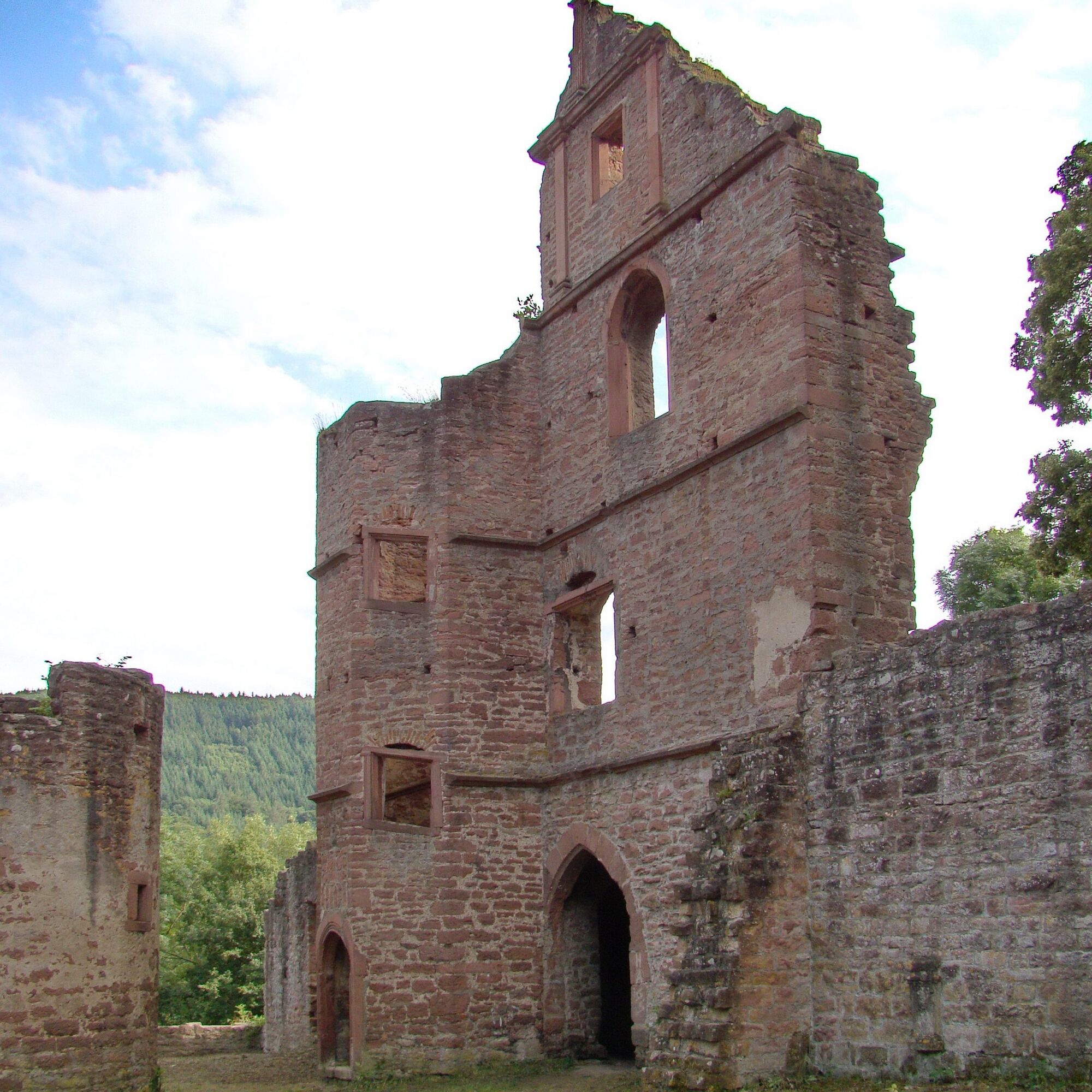
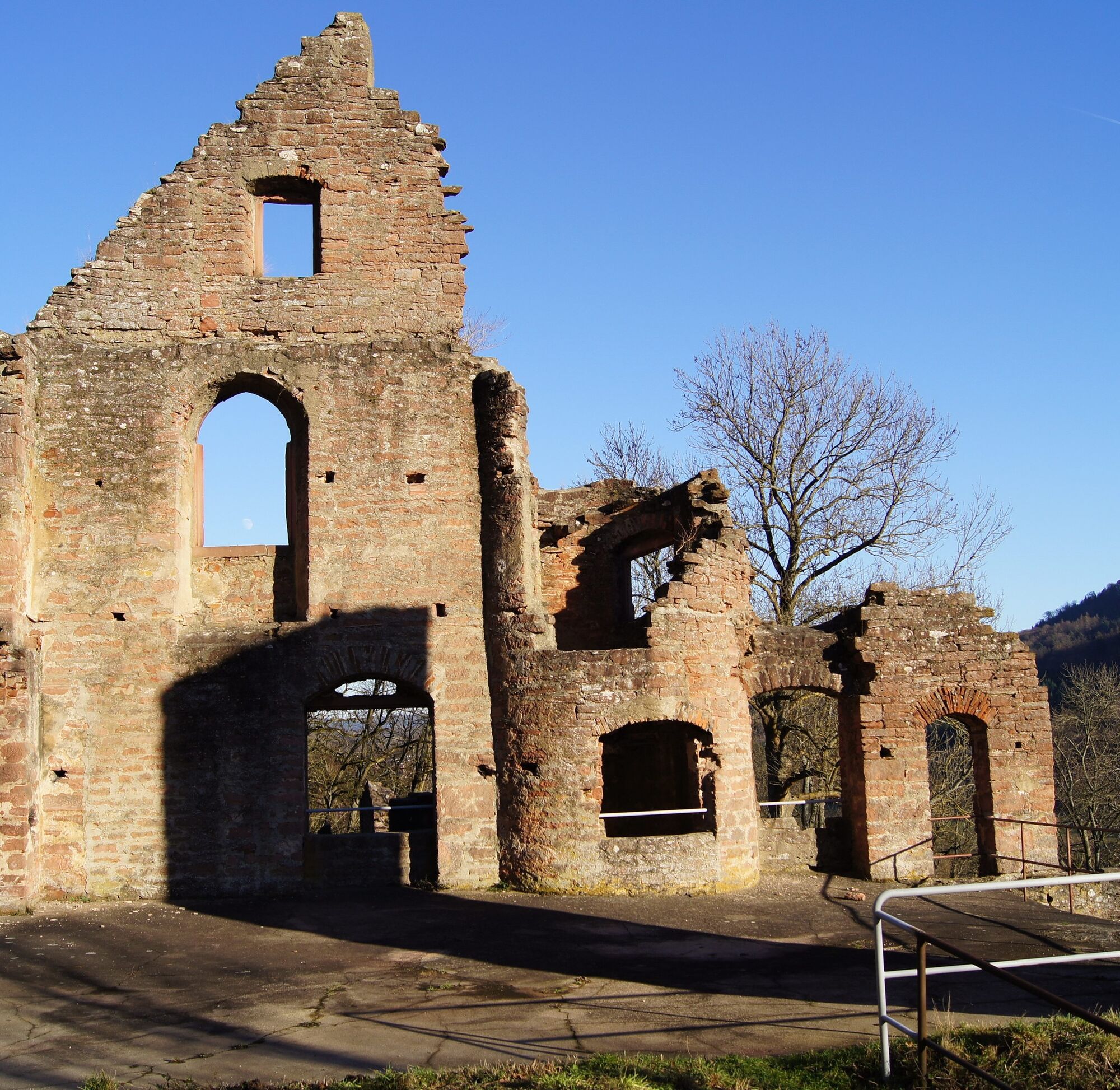
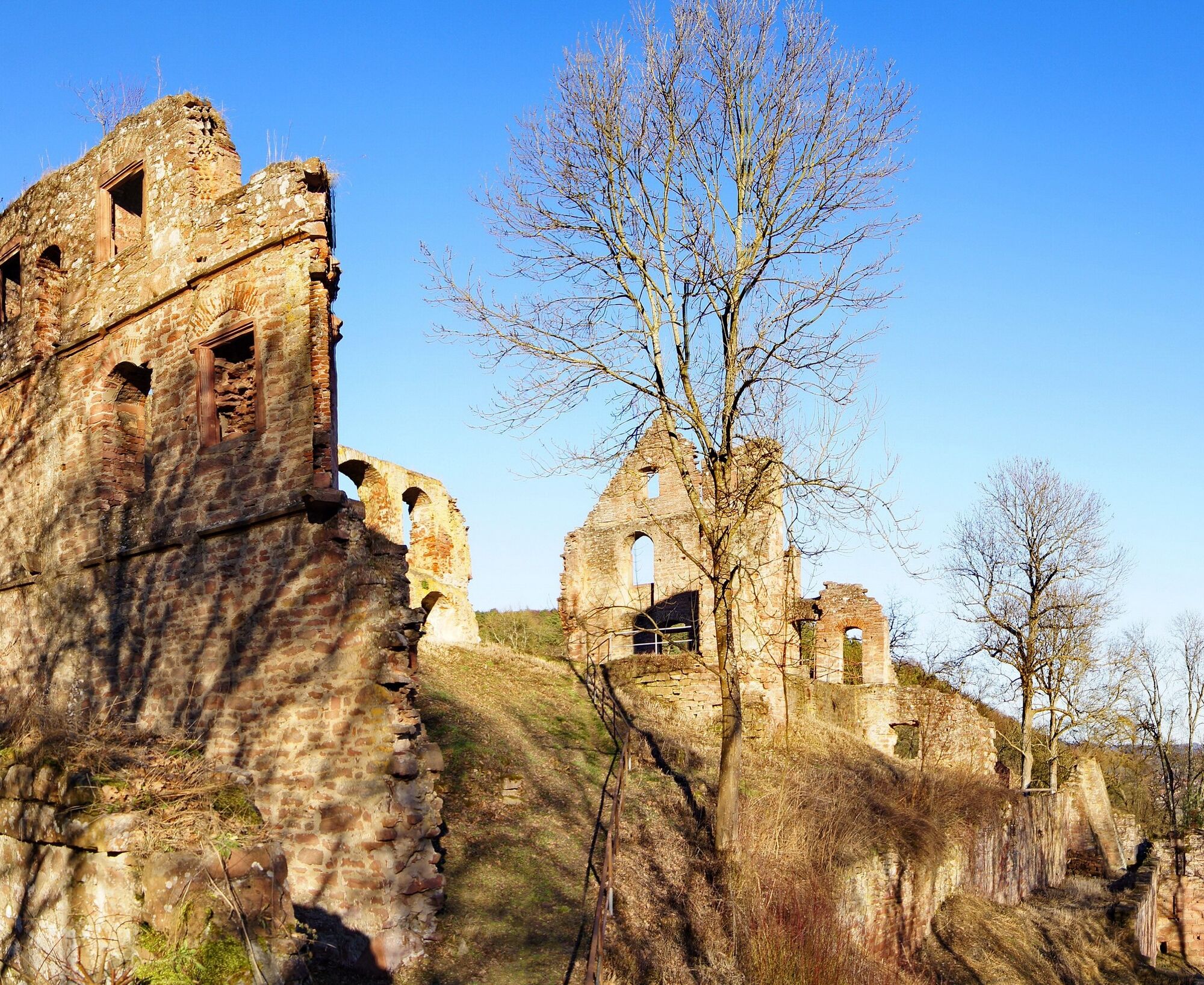
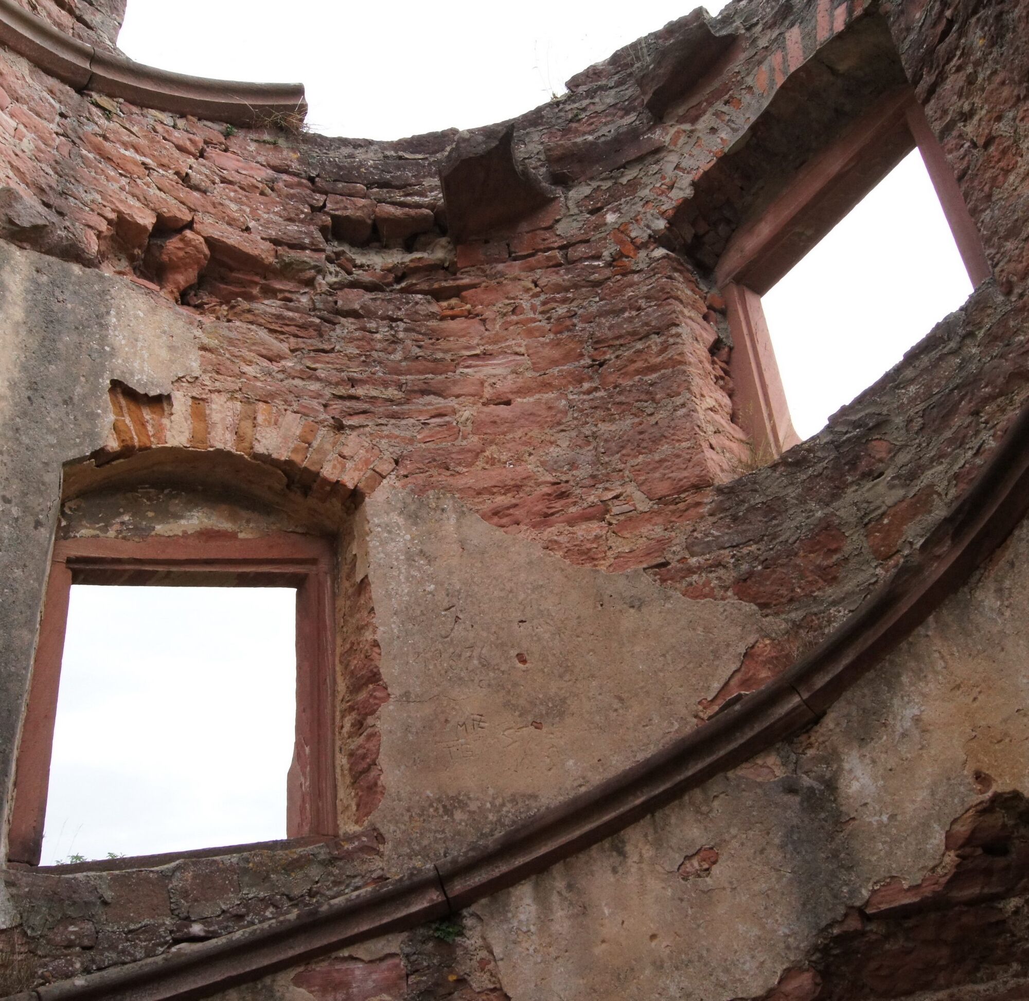
You follow the "D1" marker to the Steingasse signpost and from there steeply uphill on the Franconian Marian Way. Once you reach the top (signpost), turn left and walk above the stone bridge towards the west. Here there is a small side path that leads to the viewpoint "Heimatblick". The Franconian Marian Way then leads you steeply downhill over switchbacks to a valley notch and back up to the ruins of Kollenburg.
Here you look for the castle entrance and find the path "C2" there. This leads you steeply but picturesquely along the edge of the forest.
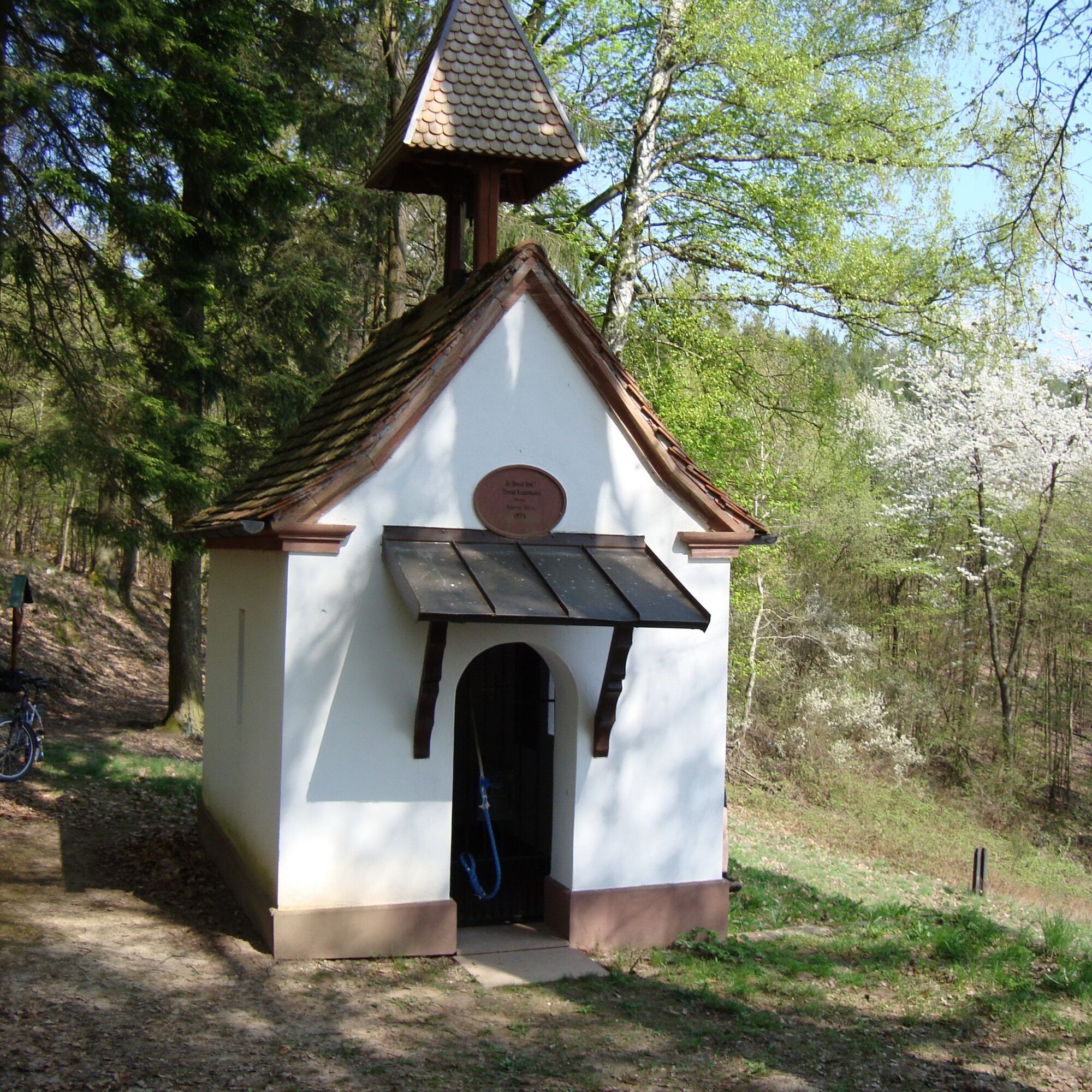
At the Fechenberg signpost, follow the "D2" signage until you reach a shelter. At the signpost, turn right onto the "D1". If you see wooden boards marked "Chapel", you are on the right path. From now on, it gently goes downhill until you reach the junction "D3". Here there is the option to make a short visit to the old war memorial chapel. Follow the "D3" here until you meet the "D1" again. Alternatively, you can go back to the "D1" path and take the "Way of the Cross". In the valley, the "D1" marking leads you back to the car park.
Coming from Würzburg on the A3, take the Marktheidenfeld exit and then head towards Kreuzwertheim, then via Hasloch, Faulbach, and Stadtprozelten to Dorfprozelten.
Coming from Frankfurt on the A3, take the Stockstadt/Großostheim exit, then continue on the B469 towards Miltenberg, take the Obernburg/Elsenfeld exit and via Mönchberg to Dorfprozelten
By the Westfrankenbahn (runs from Wertheim to Aschaffenburg) to the stop DORFPROZELTEN.
From there about 3 minutes on foot to the start point of the route.
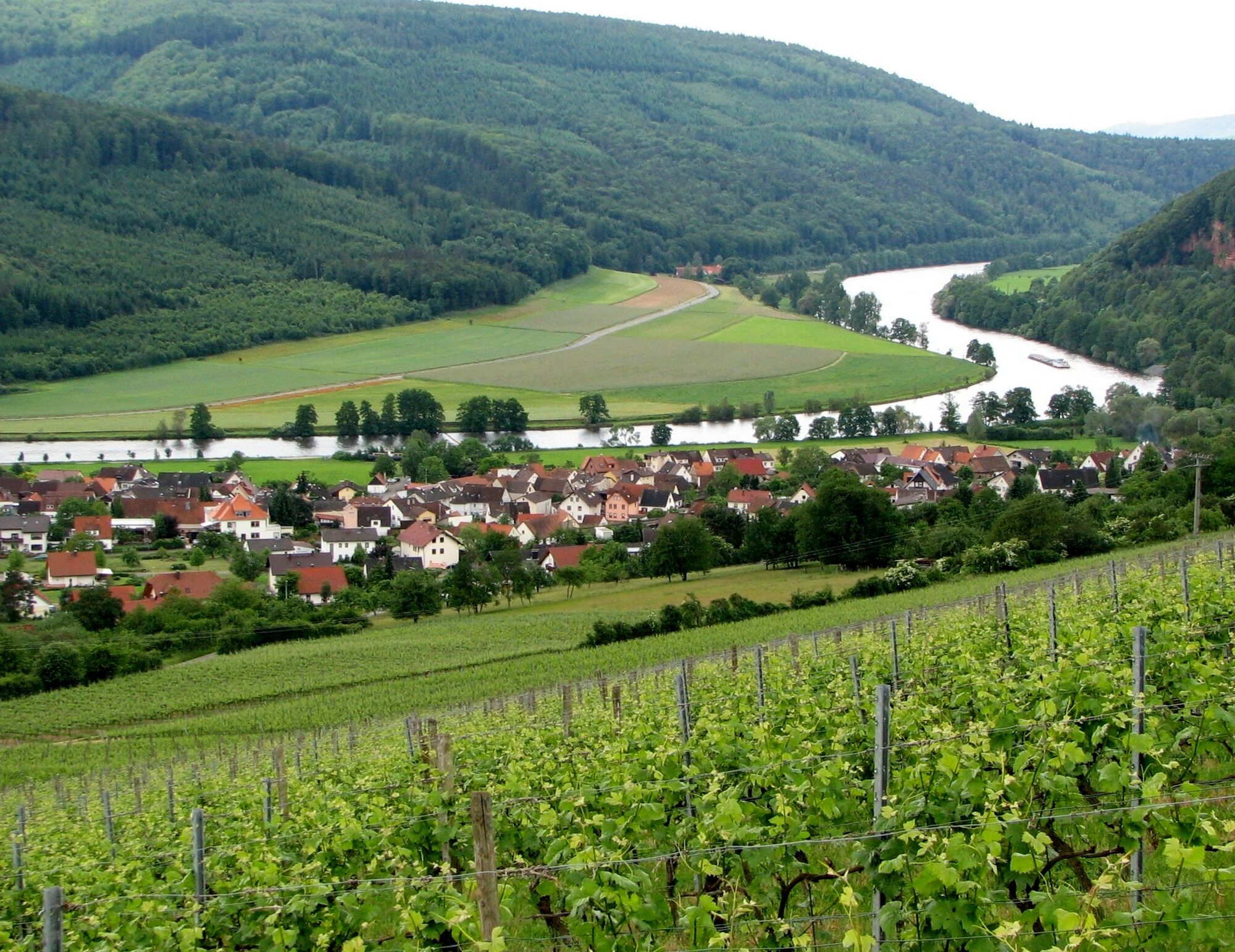
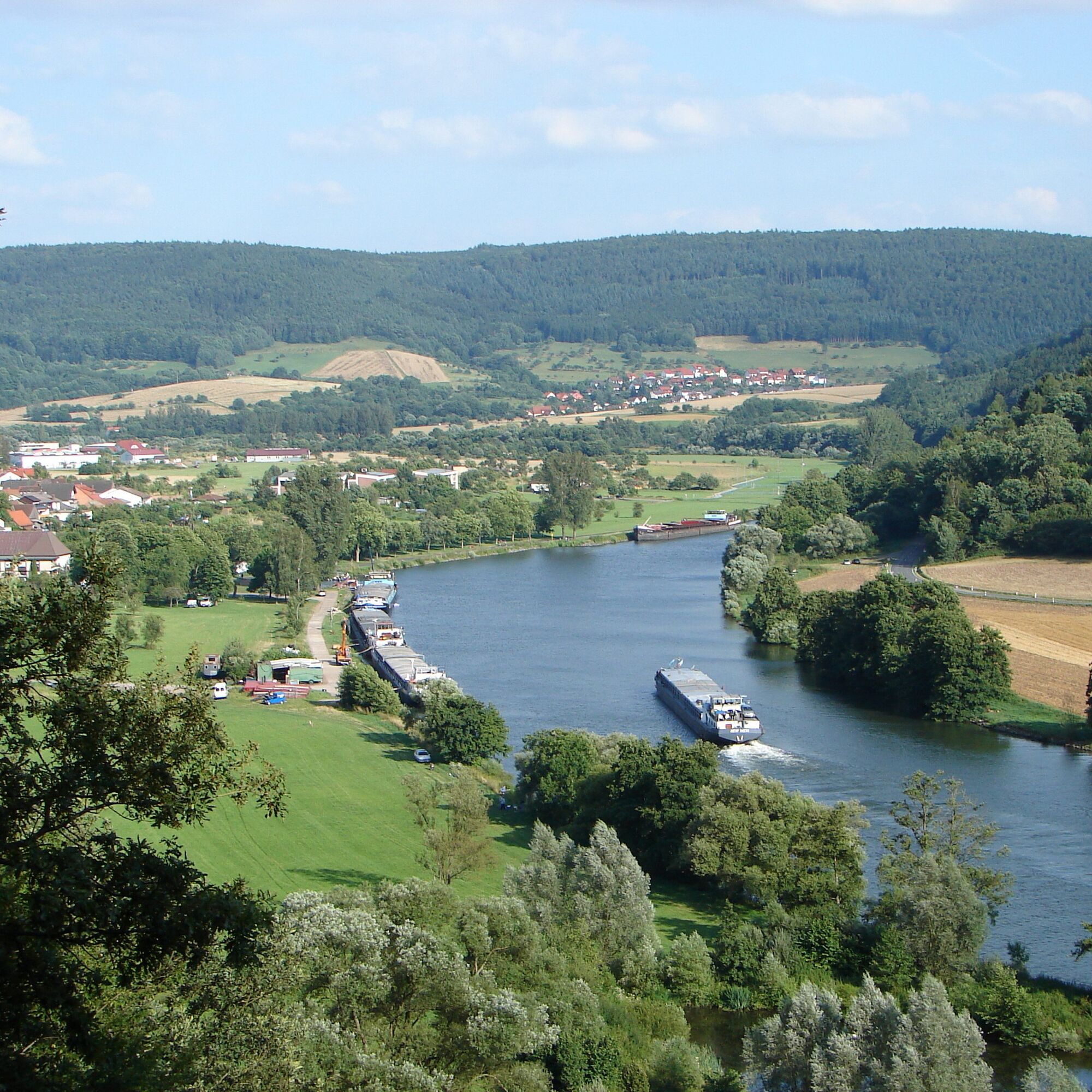
Hiking car park on the Main
Very challenging route
Популярные экскурсии по окрестностям
-
3,0
Elsenfeld district Rück: Across the vineyards past the Red Cross to Hofstetten, return over the Hochberg to the parking lot
тяжелыйПоход 10,6 км -
South Spessart Trail
тяжелыйПешеходная тропа большой протяженности 60,8 км -
Franconian Mary’s Way in the southern Spessart
среднийПешеходная тропа большой протяженности 25,6 км -
Buntsandsteinweg Etappe 1 - Miltenberg
светПоход 4,65 км -
Stadtprozelten: Nature and Stone Monuments - Circular Route 2
среднийПоход 11,5 км -
Elsenfeld: To Hofstetten via Hochberg and the Rücker vineyards back to the car park
тяжелыйПоход 11,1 км -
LT 2 Romantic Wildbachtal
тяжелыйПоход 16,8 км -
Hiking trail Faulbach-A
среднийПоход 9,27 км -
Bildstockweg Faulbach - Breitenbrunn
светПоход 6,01 км -
Elsenfeld OT Schippach: From Schippach through the Rück vineyards to Elsenfeld, over the Elsava and back to the parking on the forest path.
среднийПоход 8,41 км
Походы и трекинг


Не пропустите предложения и вдохновение для вашего следующего отпуска
Ваш адрес электронной почты был добавлен в список рассылки.