


Dolomiti Movlina - Tour


Signage: 941. Dolomiti Movlina - Tour
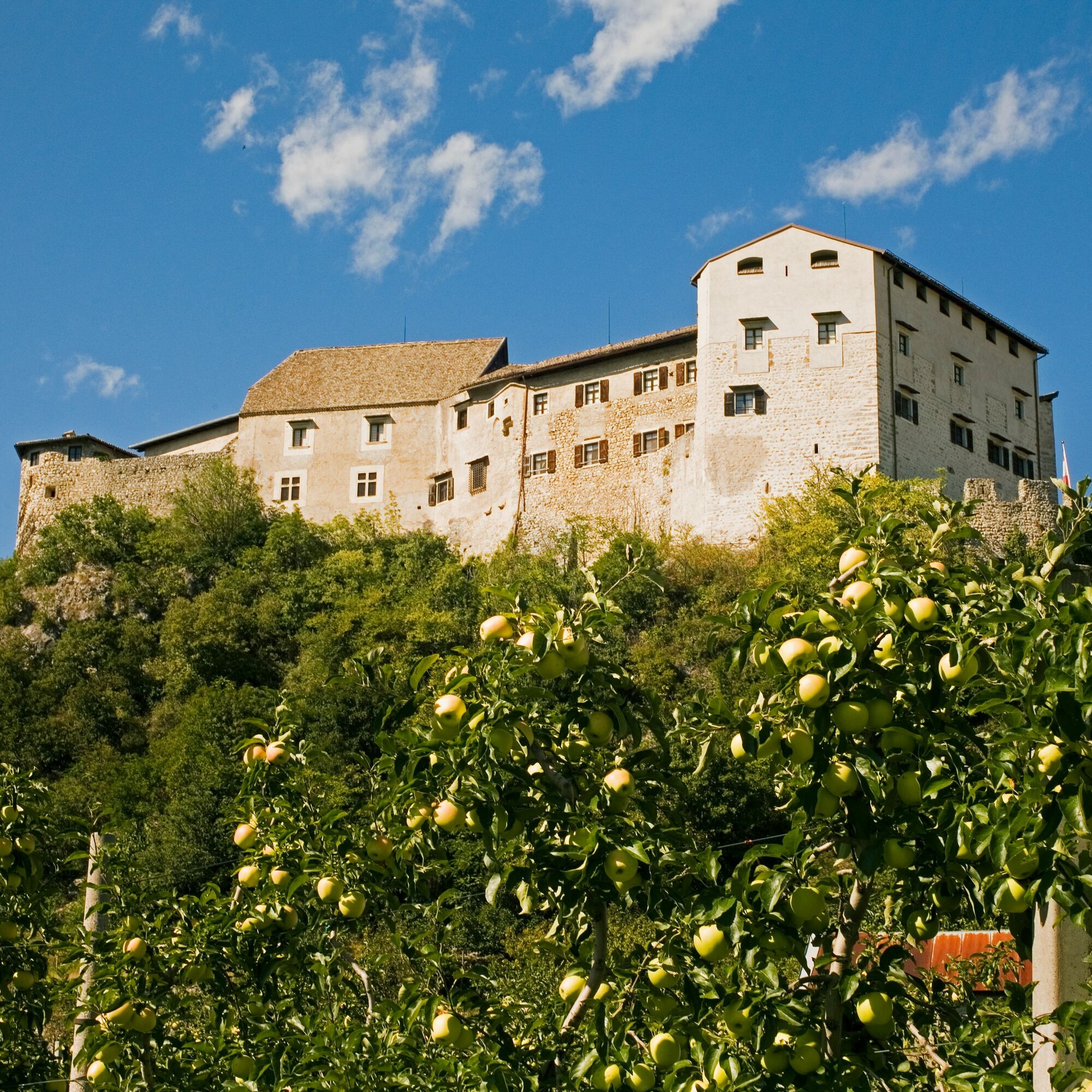
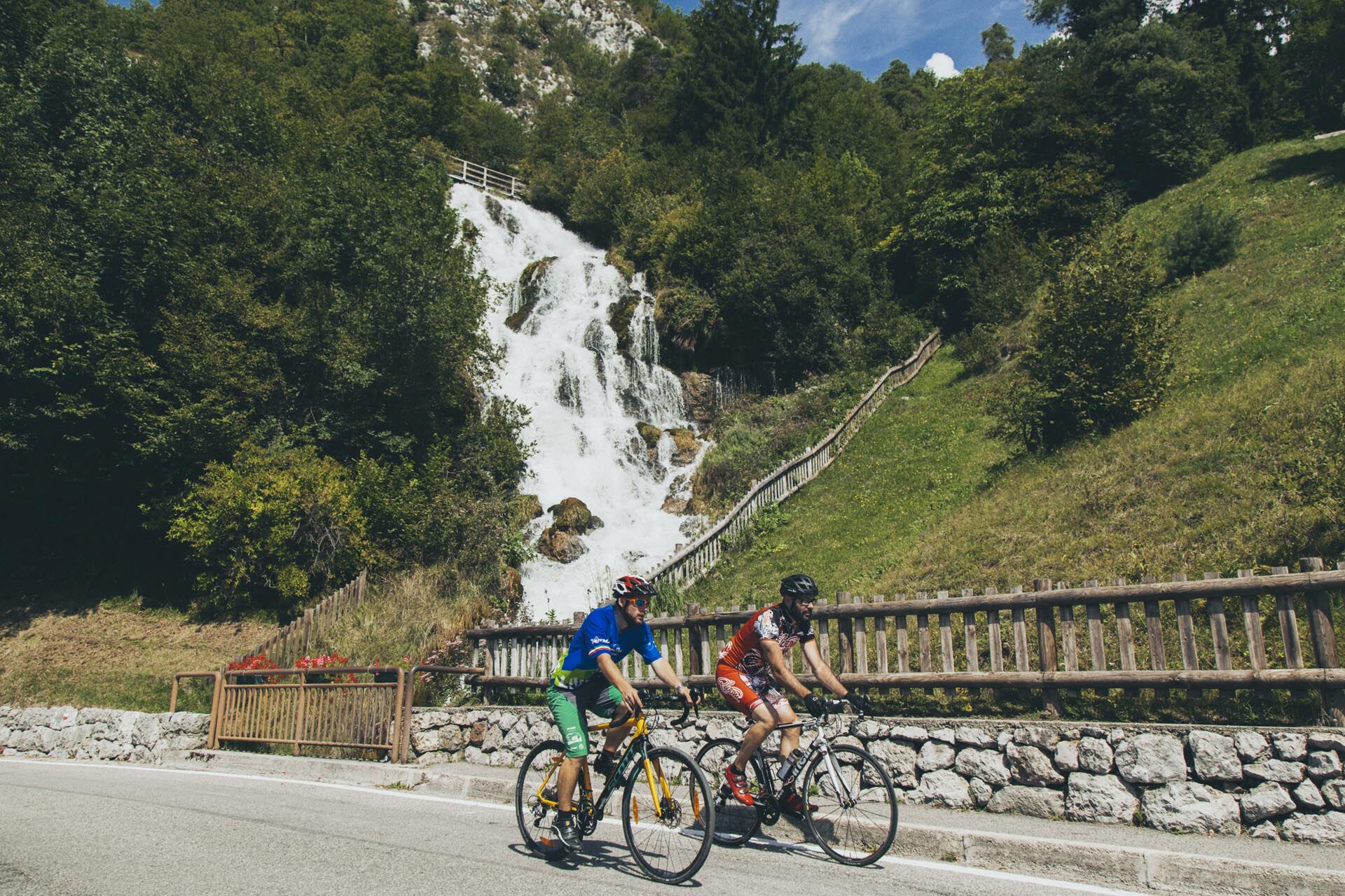
Start from Ponte Arche and ascend to Stenico, then continue to Val Algone, the valley that borders the Brenta Group on the western side. The mighty limestone giants...
Signage: 941. Dolomiti Movlina - Tour
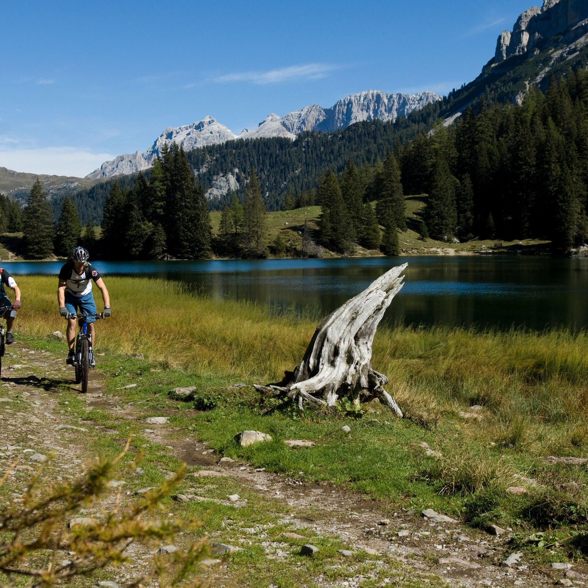
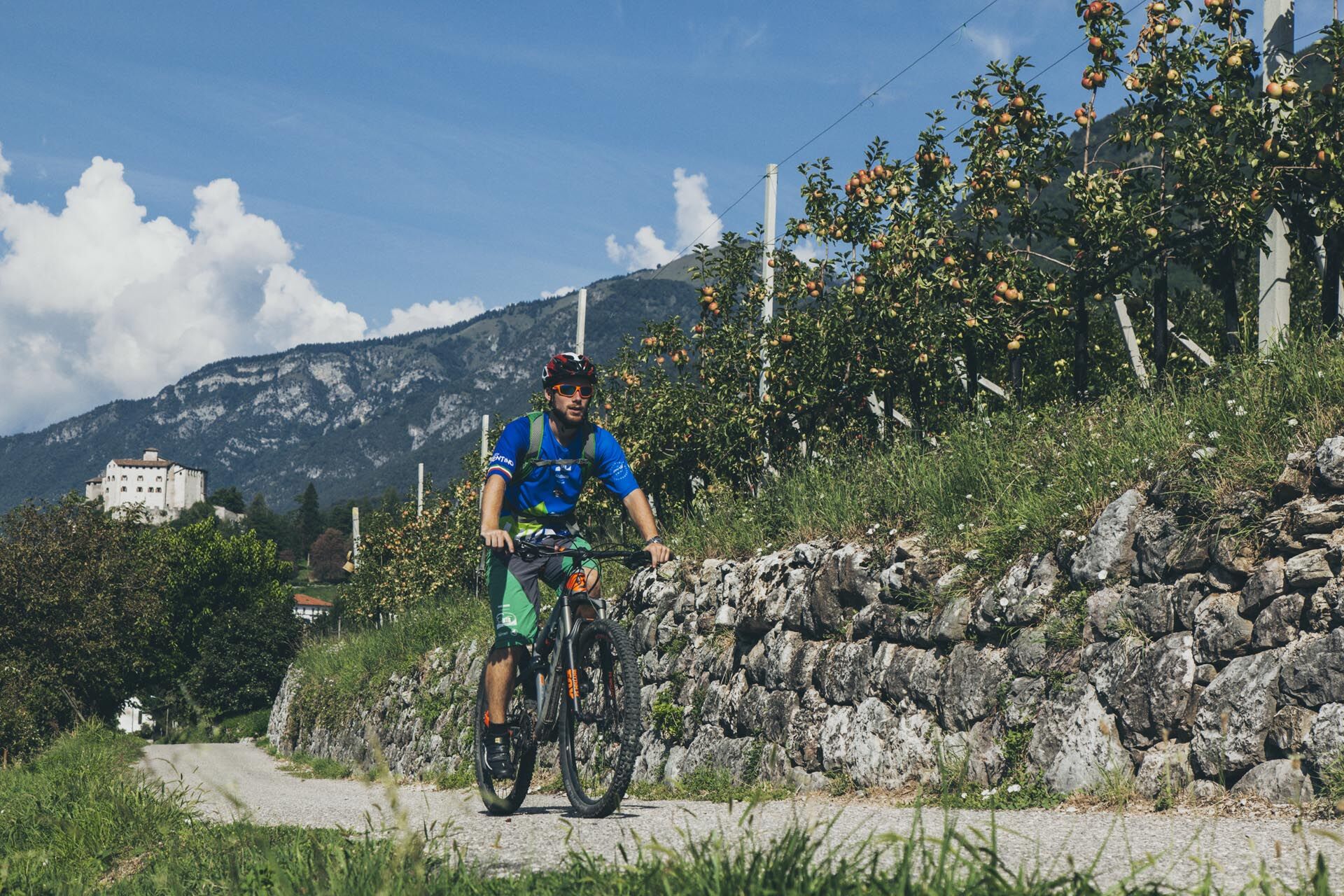
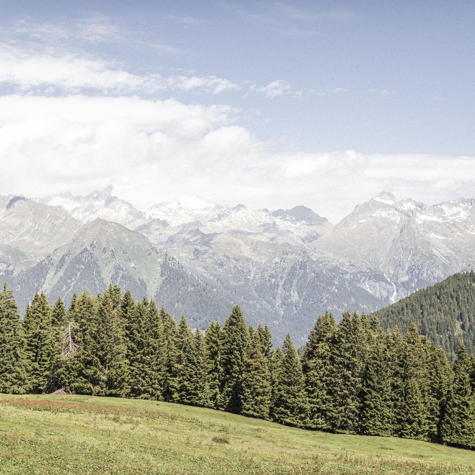
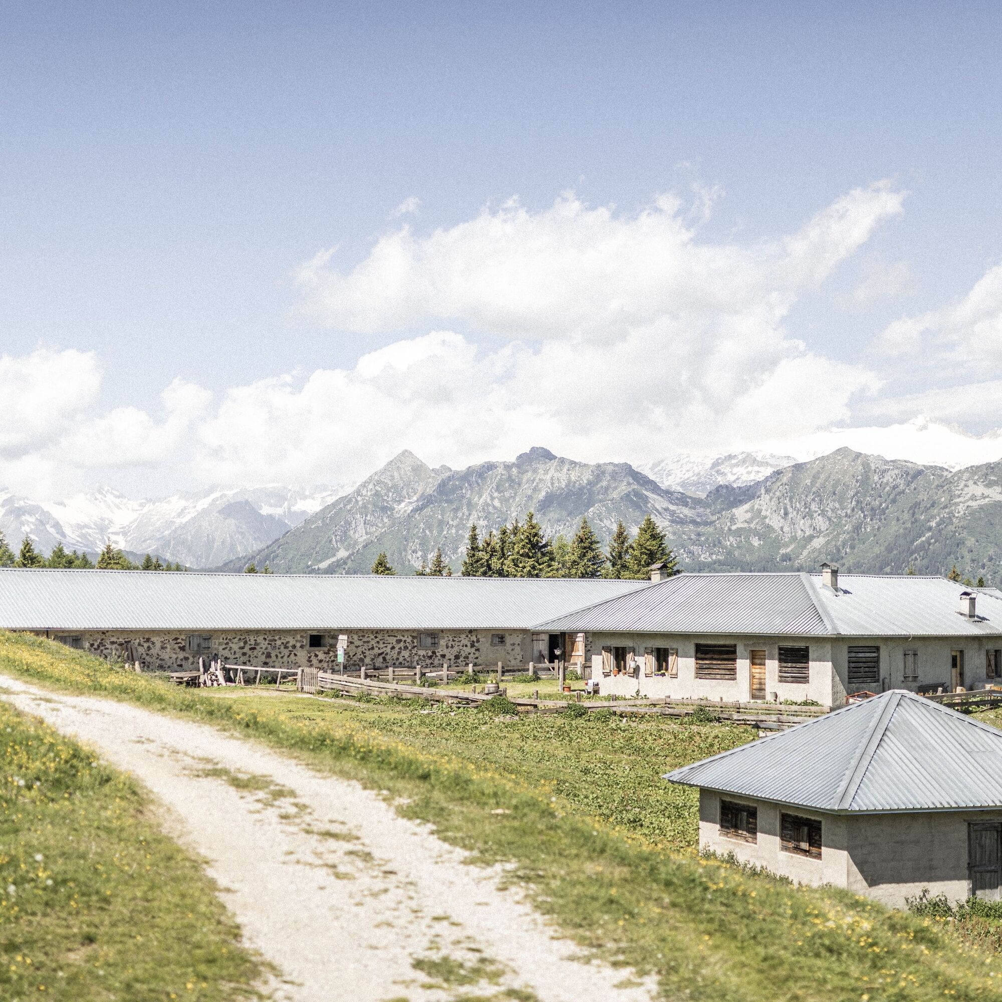
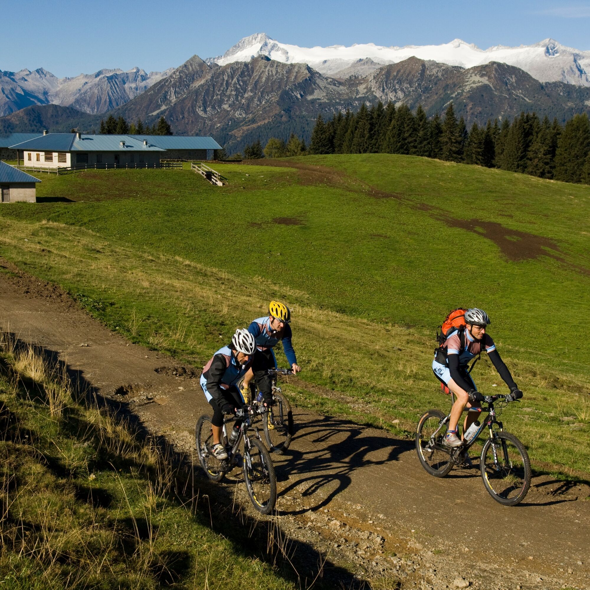
Start from Ponte Arche and ascend to Stenico, then continue to Val Algone, the valley that borders the Brenta Group on the western side. The mighty limestone giants of the Brenta Group accompany you on the right side of the valley as you cycle up to Malga Movlina, firstly on a tarmac road, later on gravel tracks. Near the Passo del Gotro (1858 m), the highest point of the tour, there are a few short, very steep sections where it’s required to push your bike. When you reach Lago di Valagola, an idyllically situated mountain lake, it signals the end of all the challenges. You now cycle north along the Valagola on forest tracks. Shortly before Madonna di Campiglio, turn west and cycle first on minor roads, later on a cycle path along the Sarca through Val Rendena to Tione di Trento. Eventually you return via Stenico to the starting point in Ponte Arche, having covered 76 kilometres.
Comano Terme, Ponte Arche – Stenico – Val Algone – Malga Nambi – Mga. Movlina – Bregn da l’Ors – Lago di Valagola – S. Antonio di Mavignola – (DBB Country) – Pinzolo – Preore – Ragoli – Stenico – Ponte Arche
The route starts in Ponte Arche at the tourist board Terme di Comano - Dolomiti di Brenta in the direction of the pedestrian bridge / park. Cross the bridge and keep left. Cross the main road and climb to Stenico [1]. Keep left dir. Ragoli/Tione. After 4 km turn right [2] and ascend on the tarmaced road to Val d’Algone for 12 km. At the crossing [3] near Malga Serli (1577 m) follow the hairpin bend uphill to the right. After about 3 km you will pass by a car park; the tarmaced road ends at a gate, and turns into a gravelled road, still climbing towards Malga Movlina [4 – 1785 m]. A bumpy cart track takes you past the alpine hut and you will cycle on it for about 600 m, until it ends. Continue to climb steeply on your bike or pushing it for 300 m. You will reach the Passo del Gotro [5 – 1859 m] along the pastures. Keep left to the DBB route dir. Passo Bregn de l’Ors [6 – 1844 m]. Follow the harsh right curve downhill to Lake Valagola (1587 m). You might like to walk sometimes. At the end of the beautiful mountain lake [7] , pass by the renovated alpine hut of Malga Valagola. Follow the wide gravelled road downhill for 6 km without turning. At the bottom of the valley cross the bridge on the river Sarca di Campiglio [8 - 1160 m]. Keep left and cycle slightly uphill to S. Antonio di Mavignola (1166 m). Go back following the signs of the DBB-“Country” route. After 600 m, abandon the main road [9], turn left and off you go, leaving the heights behind. Take the smooth cycle path without traffic down to the valley of Pinzolo (770 m). Then take the marked cycle path, which is easy to follow for 15 km (but pay attention at the crosswalks in Spiazzo). Near Ragoli this tarmaced cycle path ends abruptly [11 – 484 m] and turns into a gravelled path going in the direction of Ponte Arche. Start climbing again and the path will take you to the country road going from Ragoli to Stenico [12 – 610 m]. Soon you will pass the junction to Val d’Algone. From now on the route back to Ponte Arche via Stenico (660 m) is well-known to you from the outward journey.
Riding your bike requires specific clothing and equipment, even for relatively short and easy trips. It is always better to be prepared… e.g. for bad weather or a sudden drop in your energy levels. The unexpected things are part of the fun!
Remember to thoroughly evaluate the type of route you plan on doing, the locations you intend to cross and the current season. Has it been raining? Attention: The paths may be slippery and require more caution.
What do I need to bring on my bike tour?
An adequate water supply according to your needs (considering temperature, possibility of refuelling and duration of the route) Plenty of snacks (for example, dried fruit or energy bars) Waterproof / Windproof jacket A spare top / spare socks (Descending in a sweaty garment, will make you cold). Suncream Sunglasses Bike gloves/mitts Map or GPS device Bike lights: best placed on your helmet or handlebars. (It is always best to be prepared) Bike repair kit for punctures and mechanical breakdowns First aid kit Emergency whistle
It is always advised to let someone know where you plan to go and how long you expect to be.
Emergency telephone number 112.
ITRS - International Trail Rating System
The ITRS is an objective way to assess trails and routes from a biker’s perspective, evaluating four aspects:
Technical Difficulty: riding skill level needed Endurance: combined effect of length, uphill and downhill Wilderness: amount of planning required based on mobile phone reception, rescue options, water supply and wildlife Exposure: consequences of a fall
Discover more about the ITRS system and check the classification of this tour in the photo gallery.
Safety Tips
Always wear your helmet. Plan your ride. You share the trail with other users. Yield right of way to hikers. Let your speed be determined by your experience. Ride slowly on crowded trails, overtake with politeness and respect. Cycle only on authorized and open trails. Avoid muddy trails in order not to damage them further. Respect public and private property. Always be self-sufficient. Do not cycle solo in remote areas.
This information is subject to inevitable variations, so none of these indications are absolute. It is not entirely possible to avoid giving inexact or imprecise information, given how quickly environmental and weather conditions can change. For this reason, we decline any responsibility for changes which the user may encounter. In any case, it is advisable to check environment and weather conditions before setting out.
Find out how to reach Garda Trentino.
The area around Comano is connected by the intercity bus lines 211 (Riva del Garda - Tenno - Fiavè - Ponte Arche) and 201 (Trento - Ponte Arche - Campiglio – Tione) to the other places in Garda Trentino.
Up-to-date information on timetables and routes.
Parking in Piazza Mercato in Ponte Arche and near the thermal park (Via Cesare Battisti).
Picked your route? Now find the right experts to go with it. Make the most of every ride with support from local MTB specialists – from guides and rentals to shuttle services and workshops.
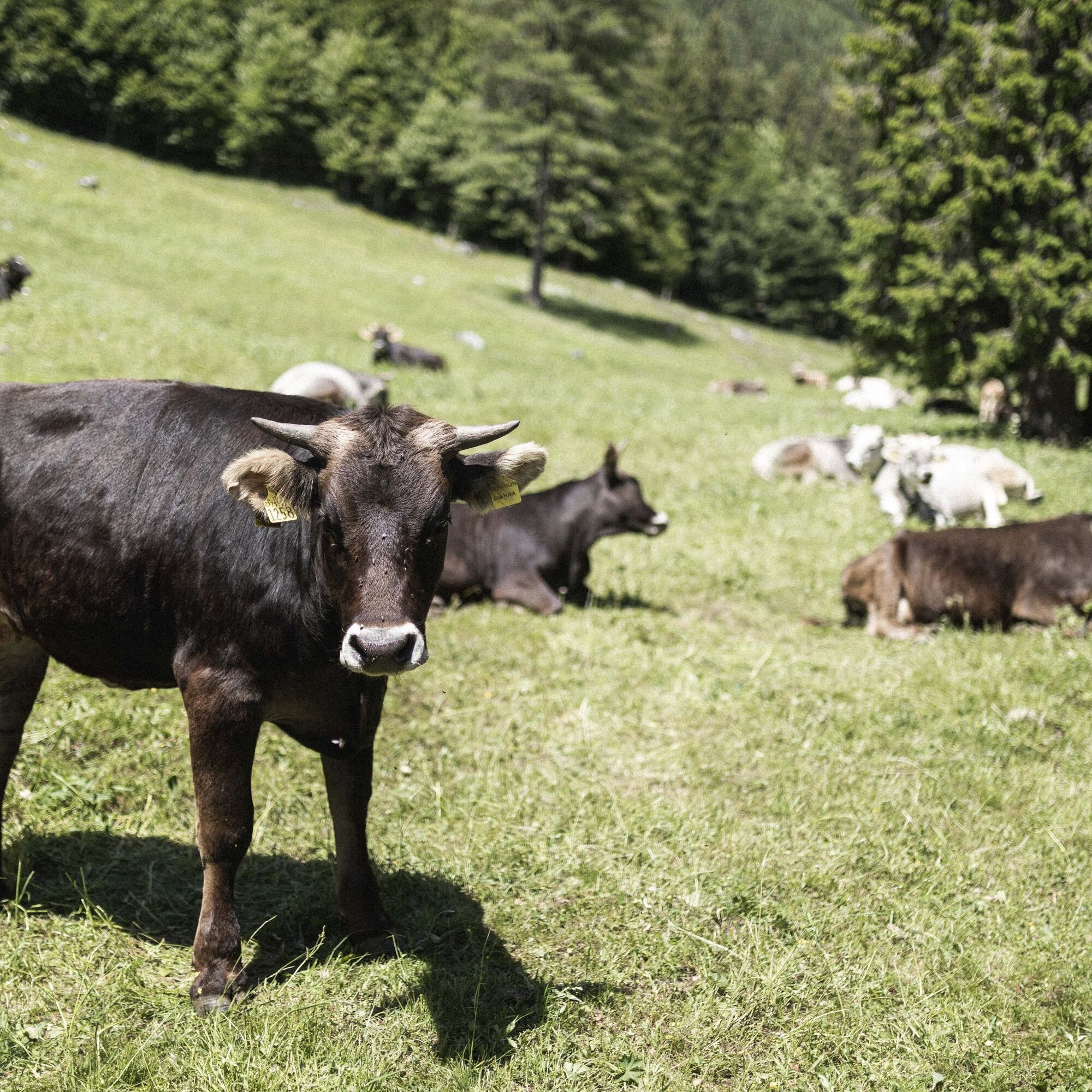
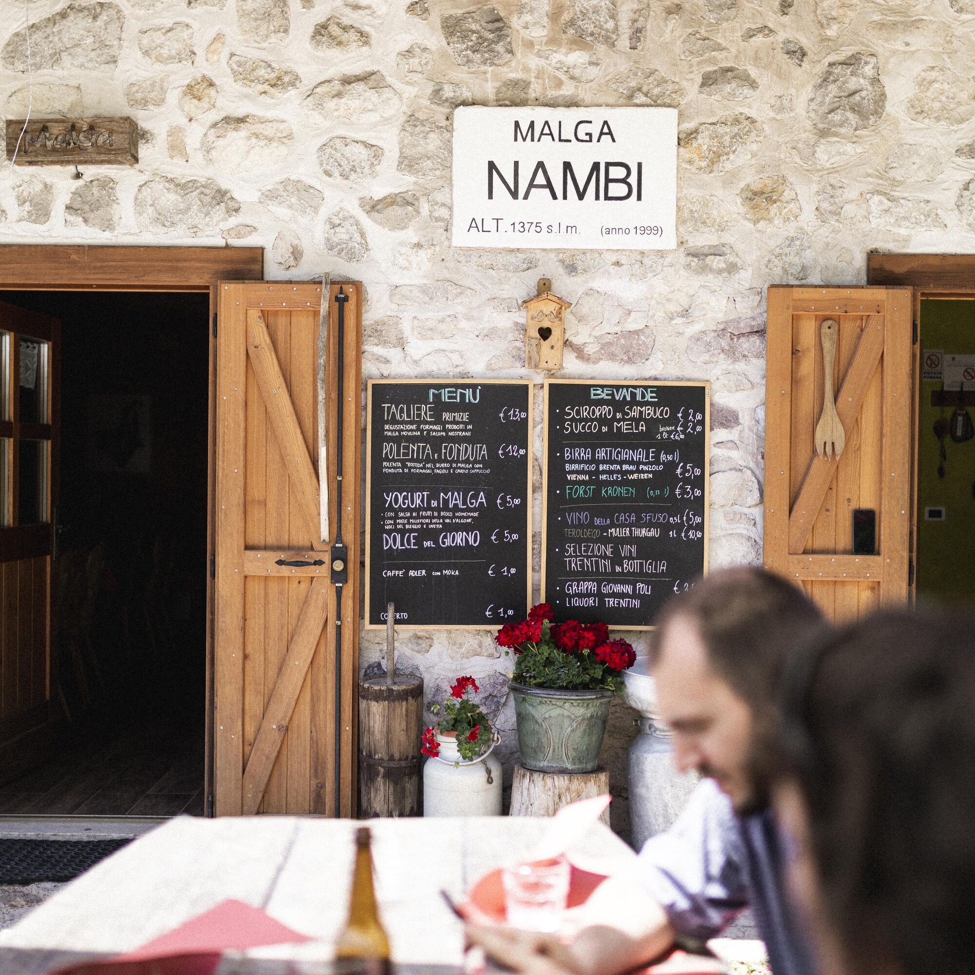
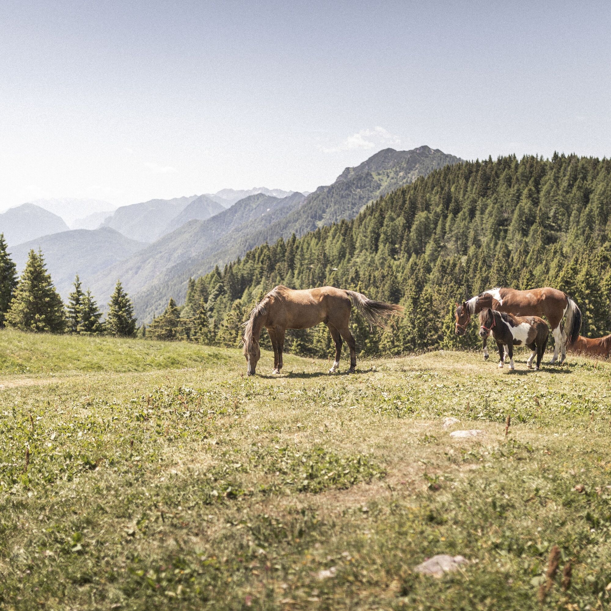
With its many pastures and mountain huts, Val Algone is the ideal place for a taste of Alpine delicacies along the way!
Веб-камеры во время экскурсии
-
Express Groste 1 / Nube d´Argento
-
Passo Grostè da Funivia 5 Laghi
-
Pinzolo - Rifugio Doss del Sabion
-
Madonna di Campiglio - Spinale
-
Madonna di Campiglio - Spinale
-
Piazza Brenta Alta
-
Madonna di Campiglio - Grostè
-
Madonna di Campiglio - Grostè
-
Madonna di Campiglio - Grostè
-
Canalone Miramonti - 3tre Ski World Cup
-
Madonna di Campiglio
-
Tulot - Pinzolo
Популярные экскурсии по окрестностям
-
Via Ferrata Rino Pisetta - Dain Piccolo
тяжелыйВиа феррата 5,89 км -
4,2
Malga Movlina and Rifugio XII Apostoli
среднийПоход 11,5 км -
5,0
Monte Misone
среднийГорный велосипед 25,5 км -
5,0
Val Ambiéz: walking in the Brenta Dolomites
тяжелыйПоход 18,1 км -
The summit of Monte Brento
среднийПоход 11,1 км -
3,5
Rifugio Selvata
среднийПоход 12,1 км -
The Rio Bianco Waterfall and the Bosco Arte Stenico
светПоход 4,66 км -
4,0
Monte Casale
среднийПоход 11,7 км -
On Monte Valandro
среднийПоход 10,3 км -
5,0
Passo della Morte Trail-Tour
тяжелыйГорный велосипед 57,8 км

Походы и трекинг


Не пропустите предложения и вдохновение для вашего следующего отпуска
Ваш адрес электронной почты был добавлен в список рассылки.