


St. Martin - Christian Walking Route


Фотографии наших пользователей
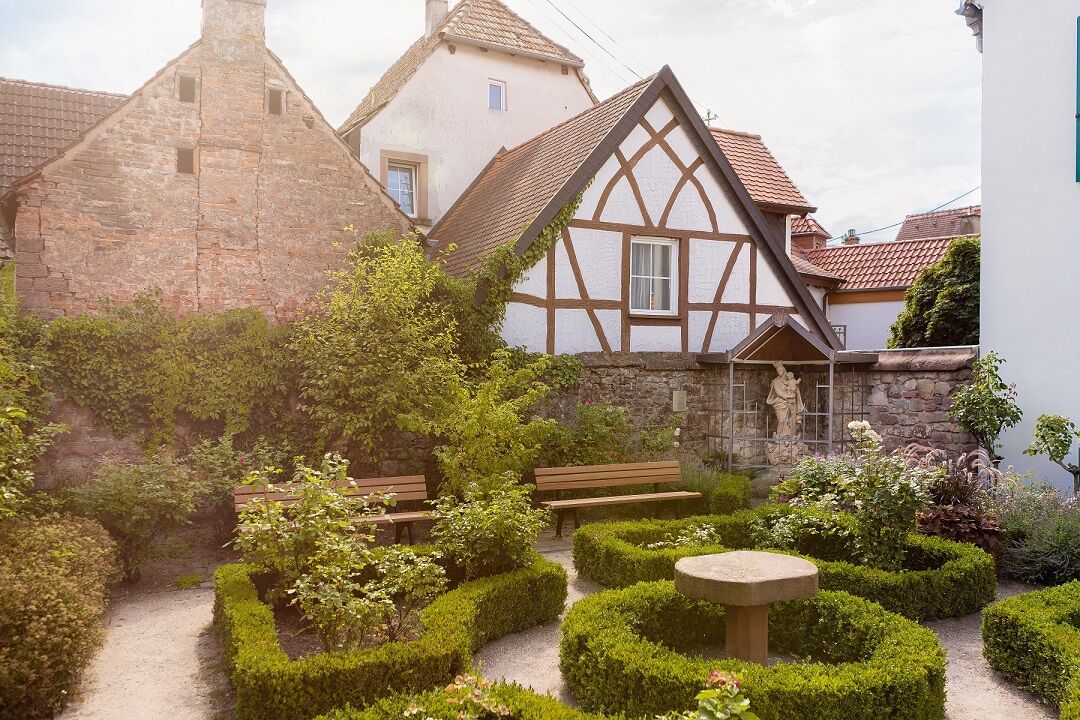
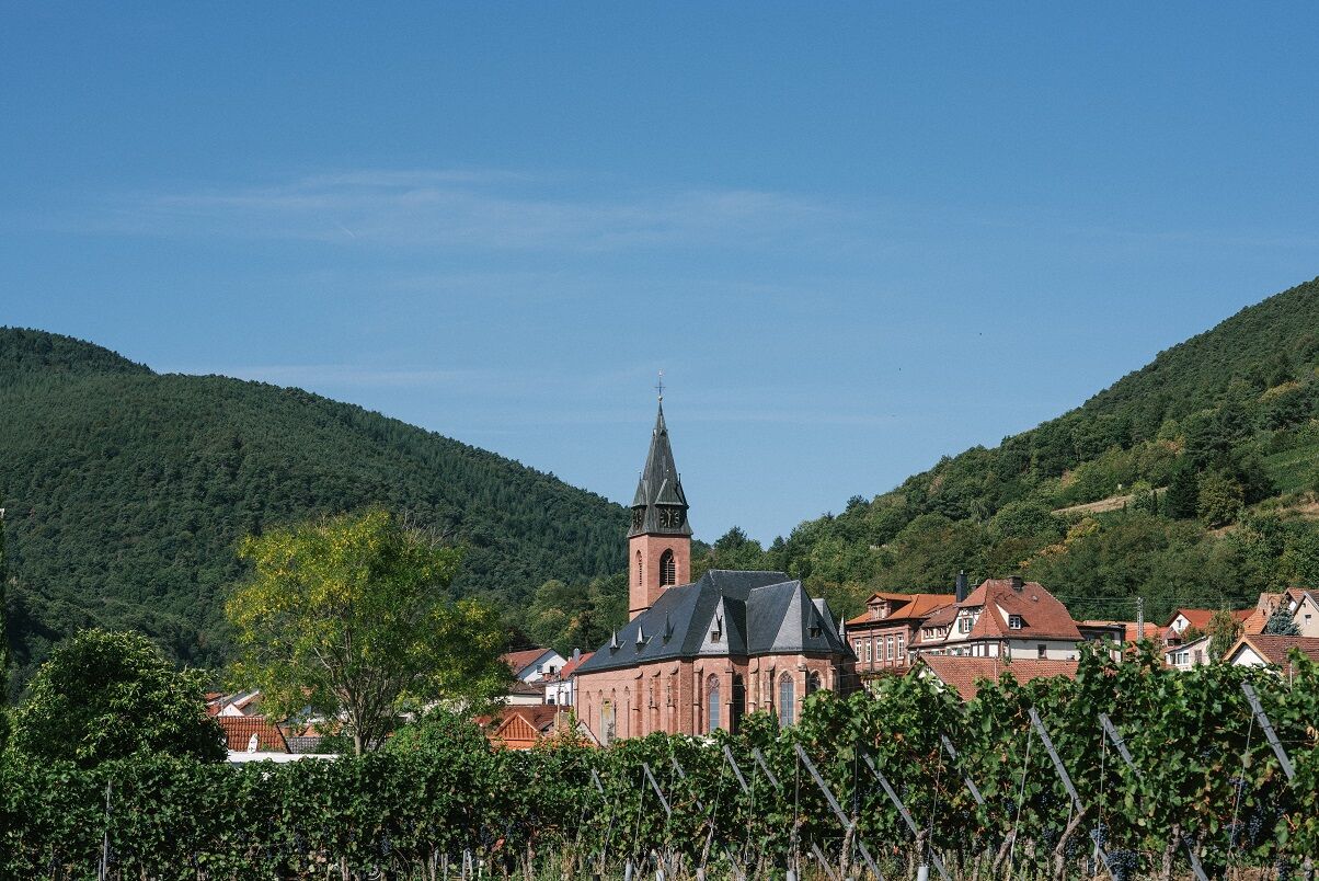
With our historic town center, which is under monument protection, we offer you a picture-book setting just waiting to be discovered.
Not only in the village do many Christian symbols await you, but also...
With our historic town center, which is under monument protection, we offer you a picture-book setting just waiting to be discovered.
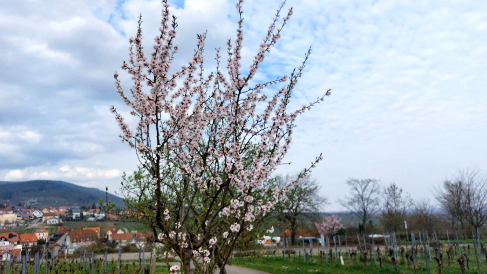
Not only in the village do many Christian symbols await you, but also outside in the vineyards and in the Palatinate Forest around St. Martin.
This special circular route aims to raise awareness of faith in our village and especially to inform about the significance and history of the Christian buildings and symbols in St. Martin.
UFFBASSE! - Campaign for respectful coexistence in nature
Always behave considerately, kindly and respectfully towards everyone you meet on the way. Pay attention to nature, do not destroy plants and always stay on the paths. Try to avoid excessive noise and leave the forest before dusk. Remember to take a waste bag with you and take your rubbish back home. Please always keep your dog on a leash. Other visitors and animals will thank you. For your own safety, observe all path closures, even on weekends. Park only in designated parking areas. Leave space for emergency vehicles and agricultural machinery. Give priority to agricultural and forestry traffic.
www.pfalz.de/uffbasse


From the starting point at the Tourist Info, where the first station - the ROSENGARTEN at the Old Cellar - can also be found, the path leads steeply uphill through Tanzstraße into Kirchgasse to the CHURCH and the BIBLE GARDEN.
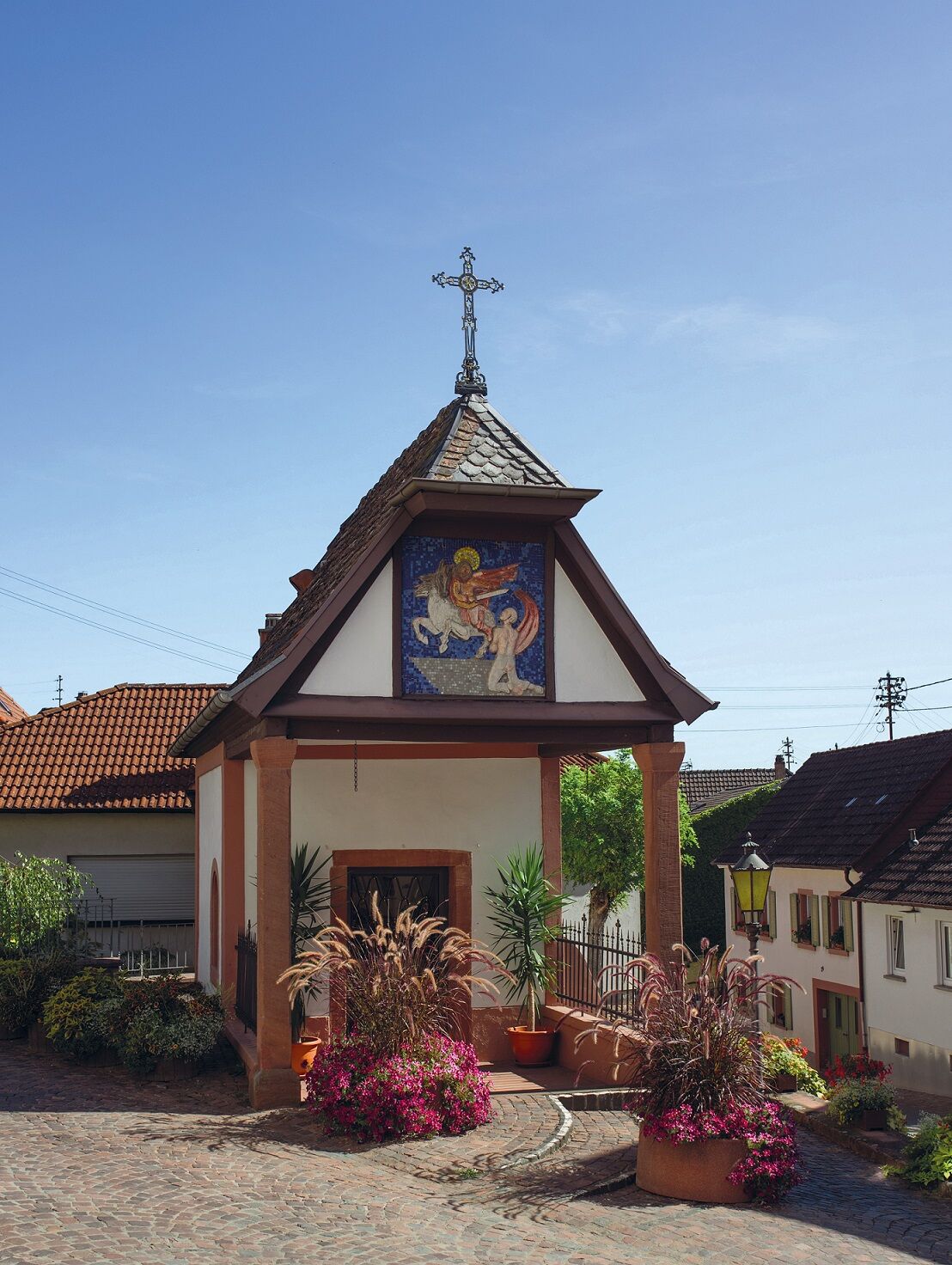
Through Bergstraße you now reach the MARTINUS CHAPEL at the corner of Totenkopfstraße/Jahnstraße. We follow Totenkopfstraße towards the village entrance (towards Maikammer) and then turn left onto a field path that continues straight ahead. After about 200 m we encounter the WHITE CROSS and after another 300 m the FIVE WOUNDS CROSS.
At the Five Wounds Cross we cross the main road and follow the field path until we immediately turn right at the next junction.
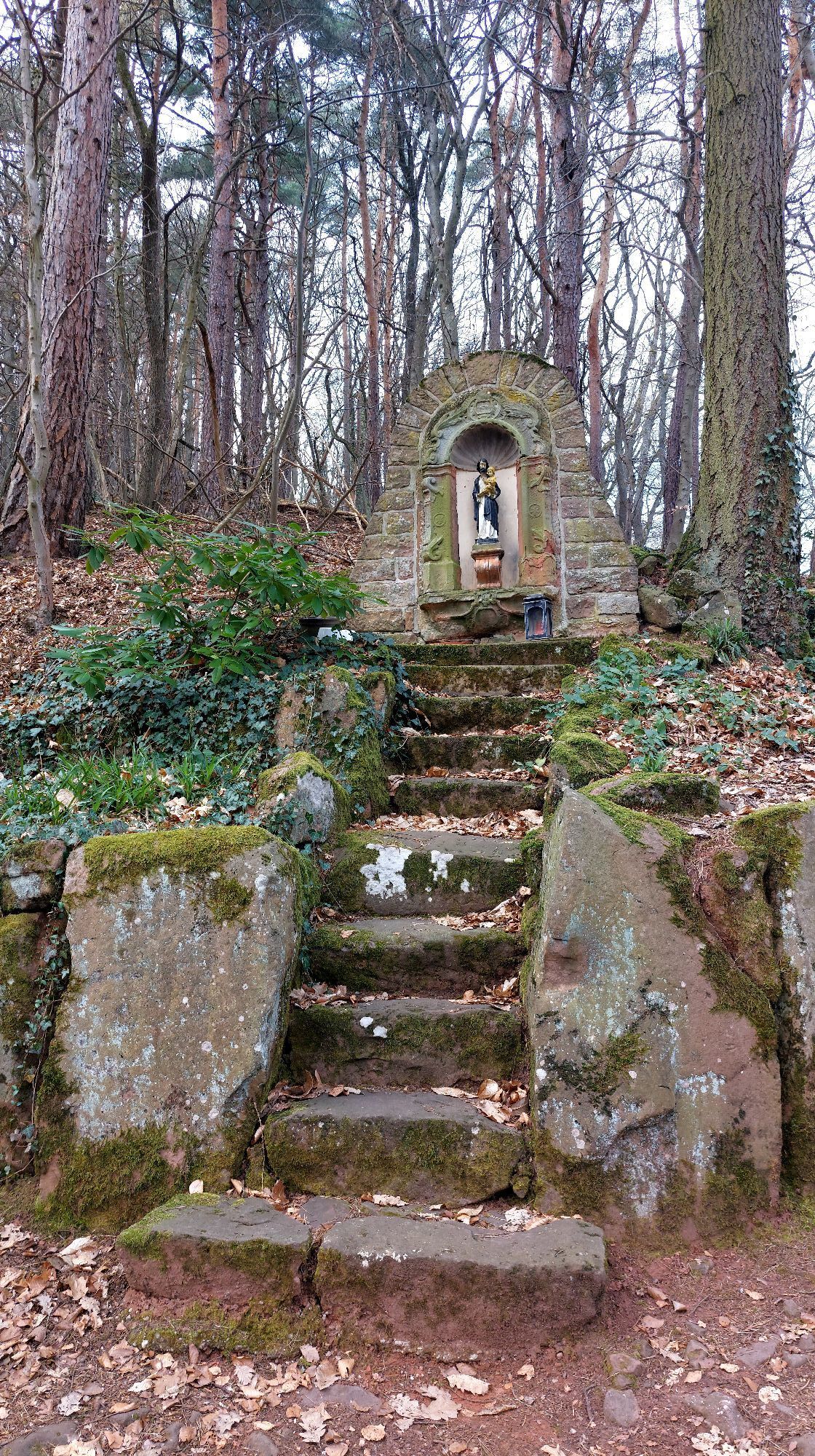
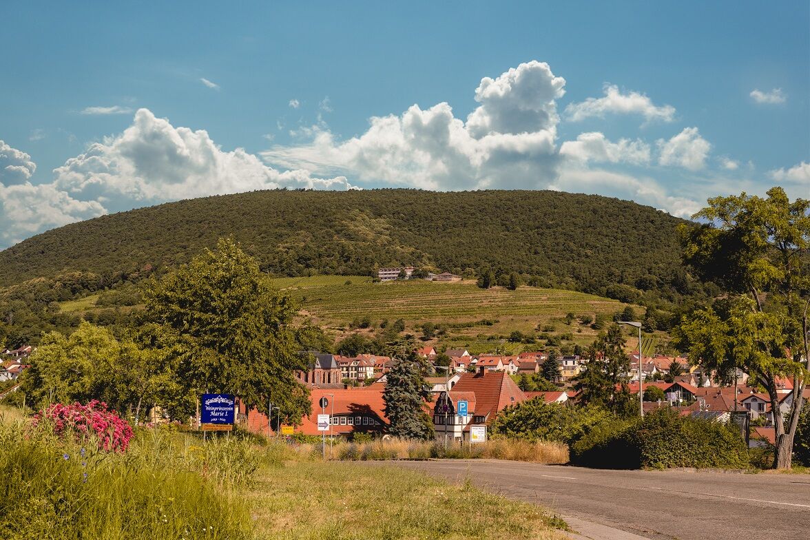
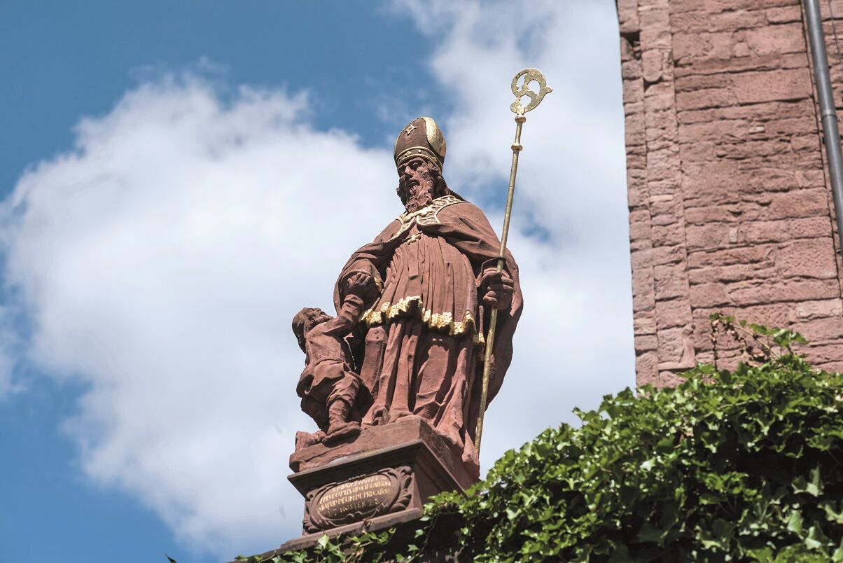
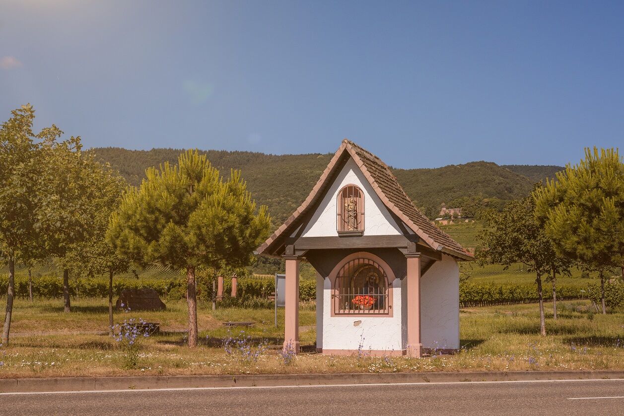
At the following junction stands the THADDÄUS monument. From here, go straight ahead and then before the main road keep left following the field path. After a few hundred meters the path goes uphill until you cross the main road to the right and stand directly at the BILDHÄUSEL. Here you also have a wonderful view of the KIRCHBERG vineyard location, also called Wingertsberg.
Now it goes straight ahead, along the wine and stone educational trail, vineyards on the right and left and a unique view of the village and the Rhine plain.
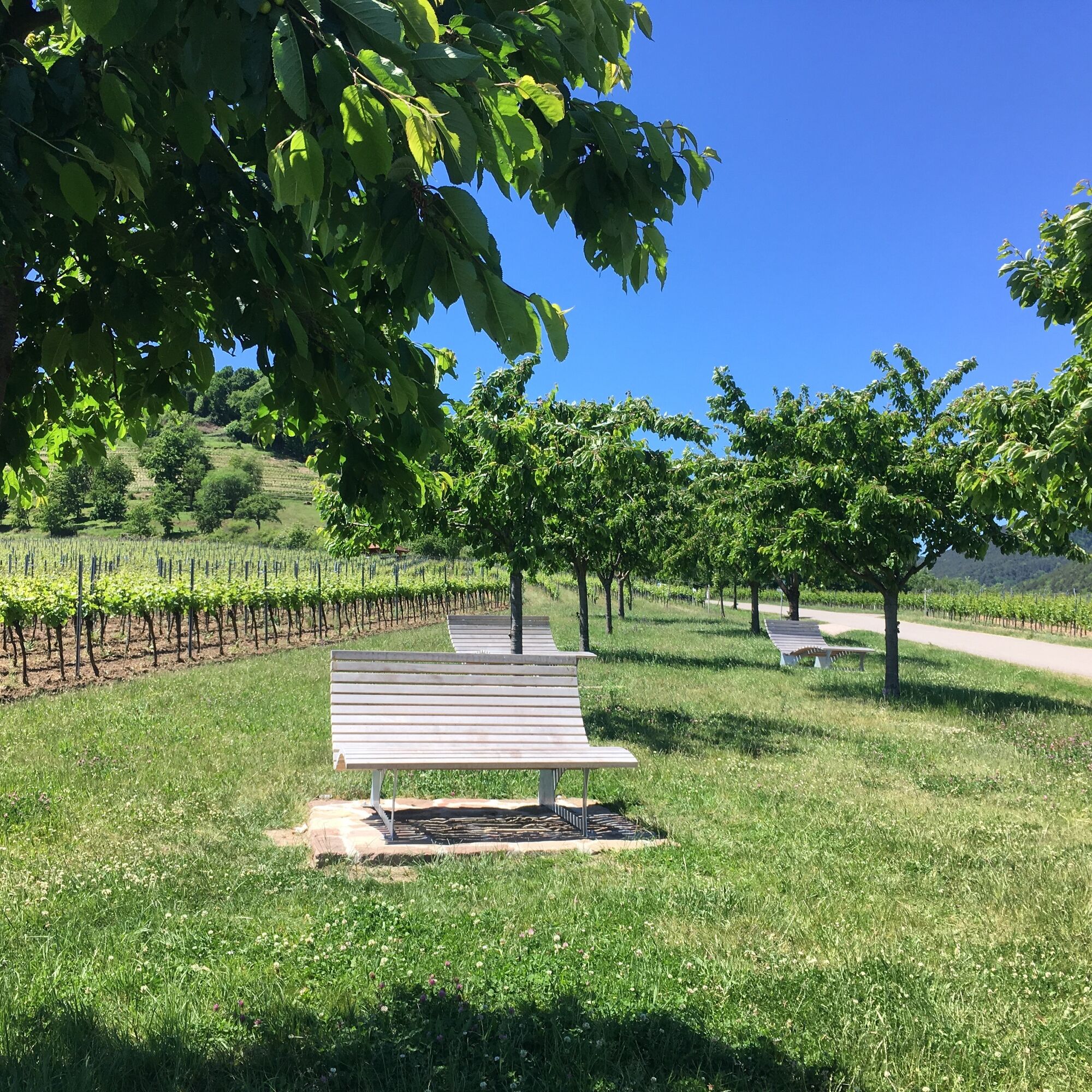
At the next intersection stands the HAARDT MADONNA and just a few meters further there is an excellent opportunity to rest your feet on our five loungers.
At the end of the path, turn left onto Burgweg towards Kropsburg. There is the possibility to stop at the castle tavern.
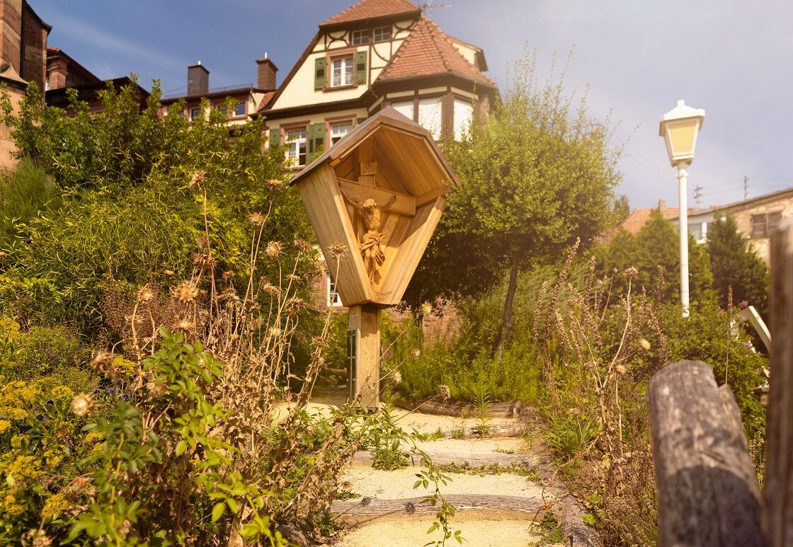
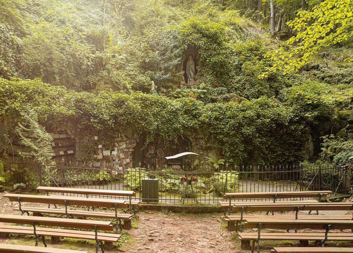
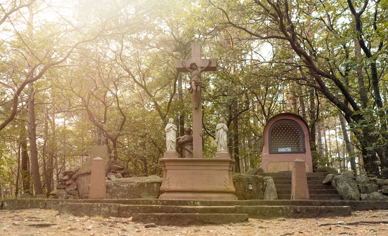
From Kropsburg the path now leads into the forest along the first four stations of the WAY OF THE CROSS. After the fourth station, we turn right towards the LOURDES GROTTO. The path now leads fairly flat to the Frauenbrunnen, where we turn left onto the Palatinate Wine Trail. Here it goes moderately uphill at first until we climb up to the WEATHER CROSS on the right.
The descent from the Weather Cross leads straight back to Kropsburg via the Way of the Cross. Caution, the Way of the Cross is quite steep downhill and a certain surefootedness is required.
From Kropsburg, the route goes again via Burgweg, the Way of the Cross, Mühlstraße past the STAMP CORNER, our last station, back to the starting point at the Tourist Info on Kellereistraße.
For hiking tours in the Palatinate Forest, we recommend the following equipment as standard:
Sturdy footwear Clothing appropriate to the weather Sun and rain protection A sufficient supply of food and drinks, as rest or shopping facilities are not available or open everywhere. Although the paths are very well marked throughout, it is recommended for safety reasons to always carry a suitable hiking map so that you can quickly find a safe area, for example in the event of a thunderstorm or an emergency.
The descent from the Weather Cross via the Way of the Cross back to Kropsburg is quite steep. You should be surefooted here!
In general:
Especially in autumn, it should also be noted that fallen leaves on the ground can conceal unevenness, roots, stones or holes on the path. After thunderstorms or storms, trees can still fall or branches break off afterward. Especially in adverse weather conditions, natural paths can have muddy and slippery sections. Not all rocks or ravines are secured with ropes or handrails. You have to expect impairments of this kind when hiking. If you believe that certain sections of the path are impassable for you, then you should avoid them.
Coming from the north: A65 motorway exit Neustadt South
Coming from the south: A65 motorway exit Edenkoben
By train to Neustadt/Weinstr. main station, then continue with bus line 500 or 501 towards Landau to St. Martin (bus stop St. Martin, village). Timetables at www.vrn.de
Paid parking spaces at the parish center, Riedweg or Edenkobenerstraße in St. Martin
Further information about the town of St. Martin and accommodation options can be found at www.sankt-martin.de
Short explanatory texts about the monuments can be found in the leaflet "Christian Monuments in St. Martin". The leaflet is available at the Tourist Info St. Martin or online at http://bit.ly/stmartinprospekte
Веб-камеры во время экскурсии
Популярные экскурсии по окрестностям
-
Wachenheim - Eckkopf - Heidenlöcher - Wachenheim
среднийПоход 12,8 км -
5,0
Palatinate Hut Route
тяжелыйПоход 18,5 км -
4,0
Annweiler Castle Trail
среднийПоход 7,72 км -
4,8
Annweiler - Kaiser-Friedrich-Weg
среднийПоход 9,53 км -
4,3
From wide view to wide view
среднийПоход 9,72 км -
Ramberg - Drei Burgen Weg
среднийПоход 17,2 км -
Palatinate Wine Route stage 05 Neustadt a. d. Weinstraße - St. Martin
тяжелыйПешеходная тропа большой протяженности 19,8 км -
Pfälzer Weinsteig Stage 4: Deidesheim - Neustadt an der Weinstraße
тяжелыйПешеходная тропа большой протяженности 19,9 км -
4,0
Palatinate Hut Route - Short southern route with 3 huts
среднийПоход 10,5 км -
Drei Burgenweg in Erfenstein
среднийПоход 7,30 км
Походы и трекинг


Не пропустите предложения и вдохновение для вашего следующего отпуска
Ваш адрес электронной почты был добавлен в список рассылки.