


MTB Ring tour Cesana-Fenils-Desertes-Solomiac-Cesana (Cesana T.se)


A loop itinerary that winds at the foot of Mount Chaberton, following the up-and-down path between the two sides of the Dora Riparia River, among woods and characteristic mountain villages, where stone...
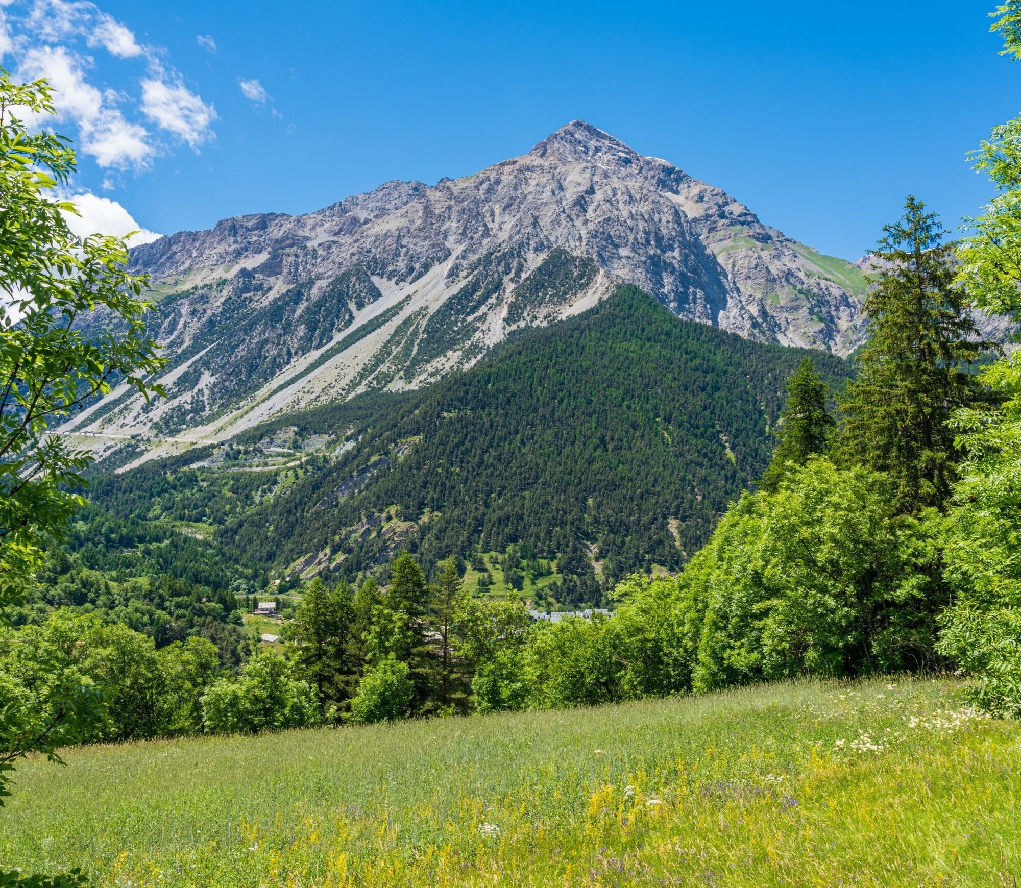
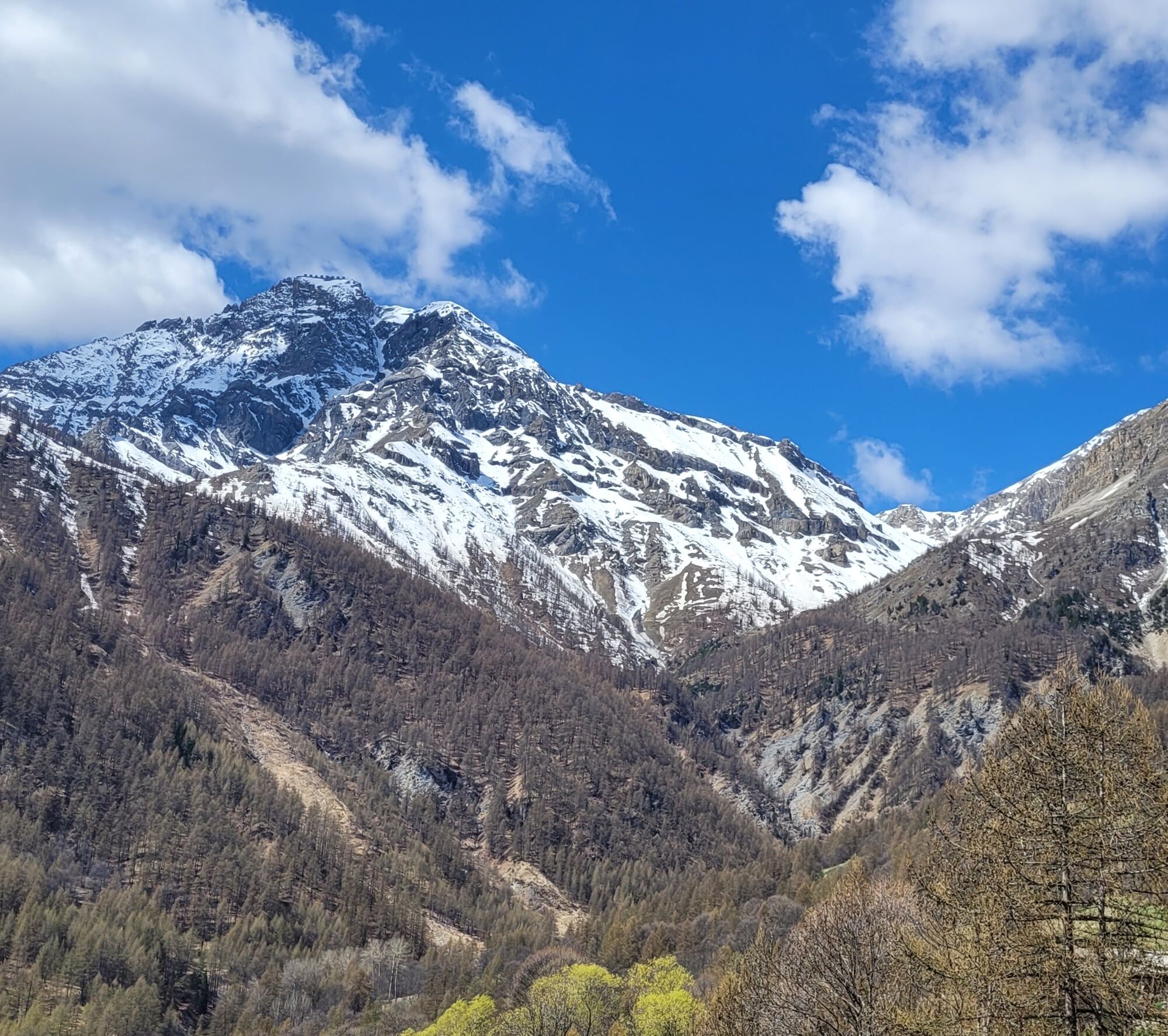
A loop itinerary that winds at the foot of Mount Chaberton, following the up-and-down path between the two sides of the Dora Riparia River, among woods and characteristic mountain villages, where stone and wood play the leading role. In the first part of the route, the woods and nature are the protagonists, and in the second part many characteristic rustic buildings harmoniously inserted in the landscape find their place. The view provides a splendid panorama of Mount Chaberton and the eight turrets of its Fort.
The Chaberton Battery, built by the Royal Army in the late 1800s, is the highest fortification in Europe. The eight towers held cannons: about 7 m high and 6 m apart, their tops were reached by an internal metal spiral staircase.
Support and technical description by Moon Mountain Company's cycling guides.


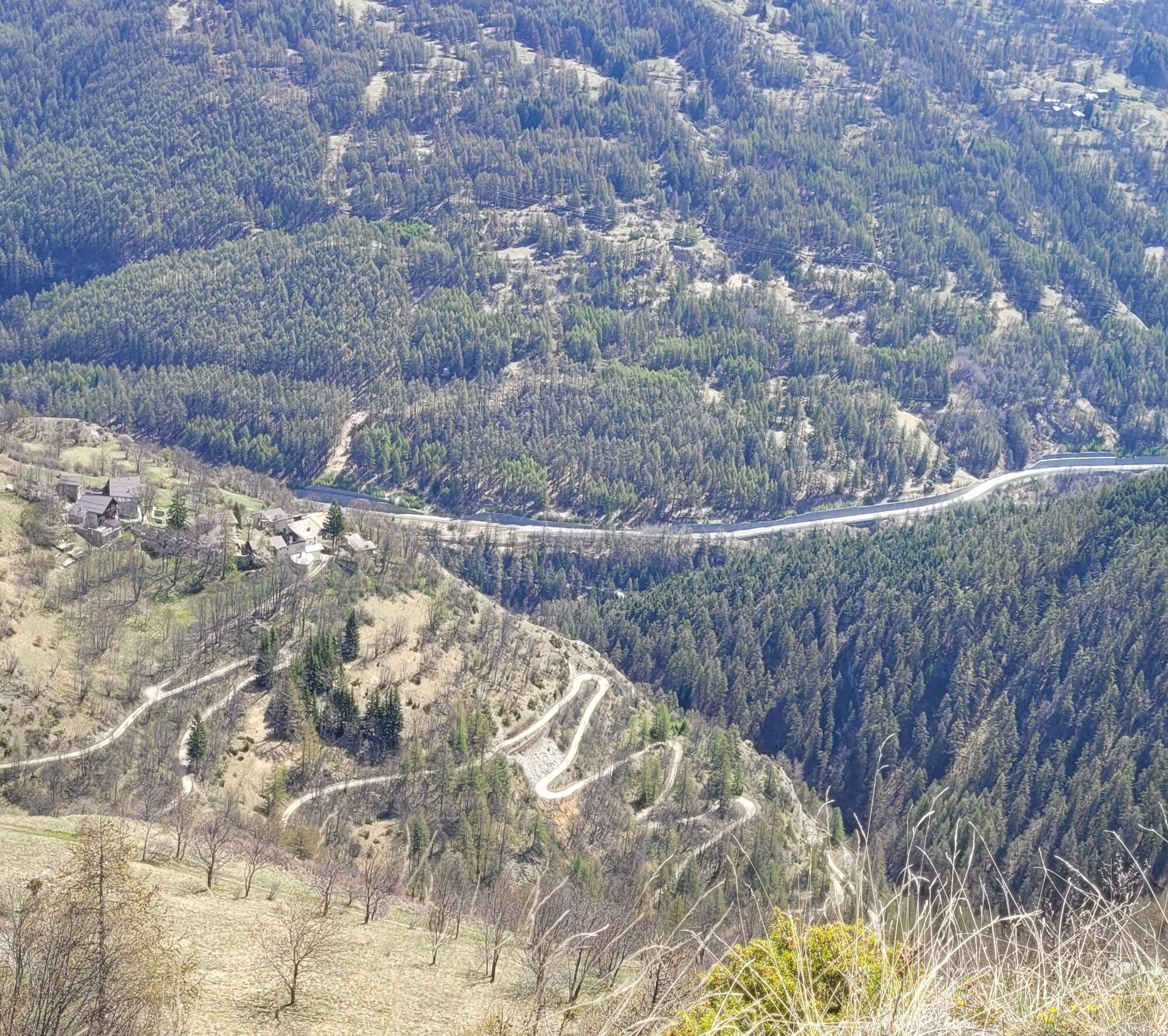
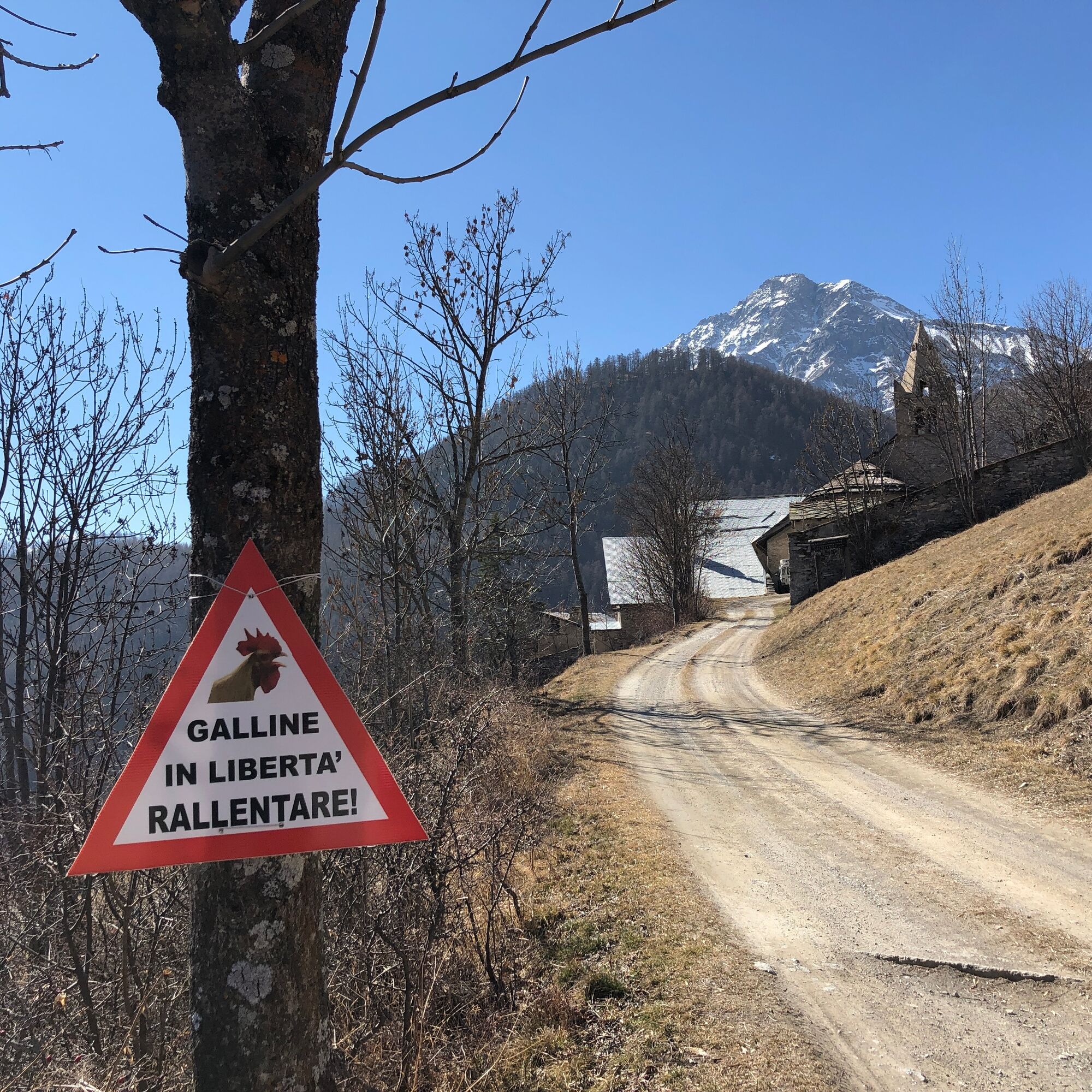
From the main square of Cesana T.se, cross the town center in the direction of the Carabinieri barracks, on Via Ferragut, on a completely paved road surface. The track becomes dirt in the direction of Rio Malnet locality, proceeding between never extreme ups and downs, along the river, until the hamlet of Fenils. Arriving near the Church dedicated to S. Giuliano, cross the road and continue on a path with a dirt bottom and uphill in the direction of Desertes.
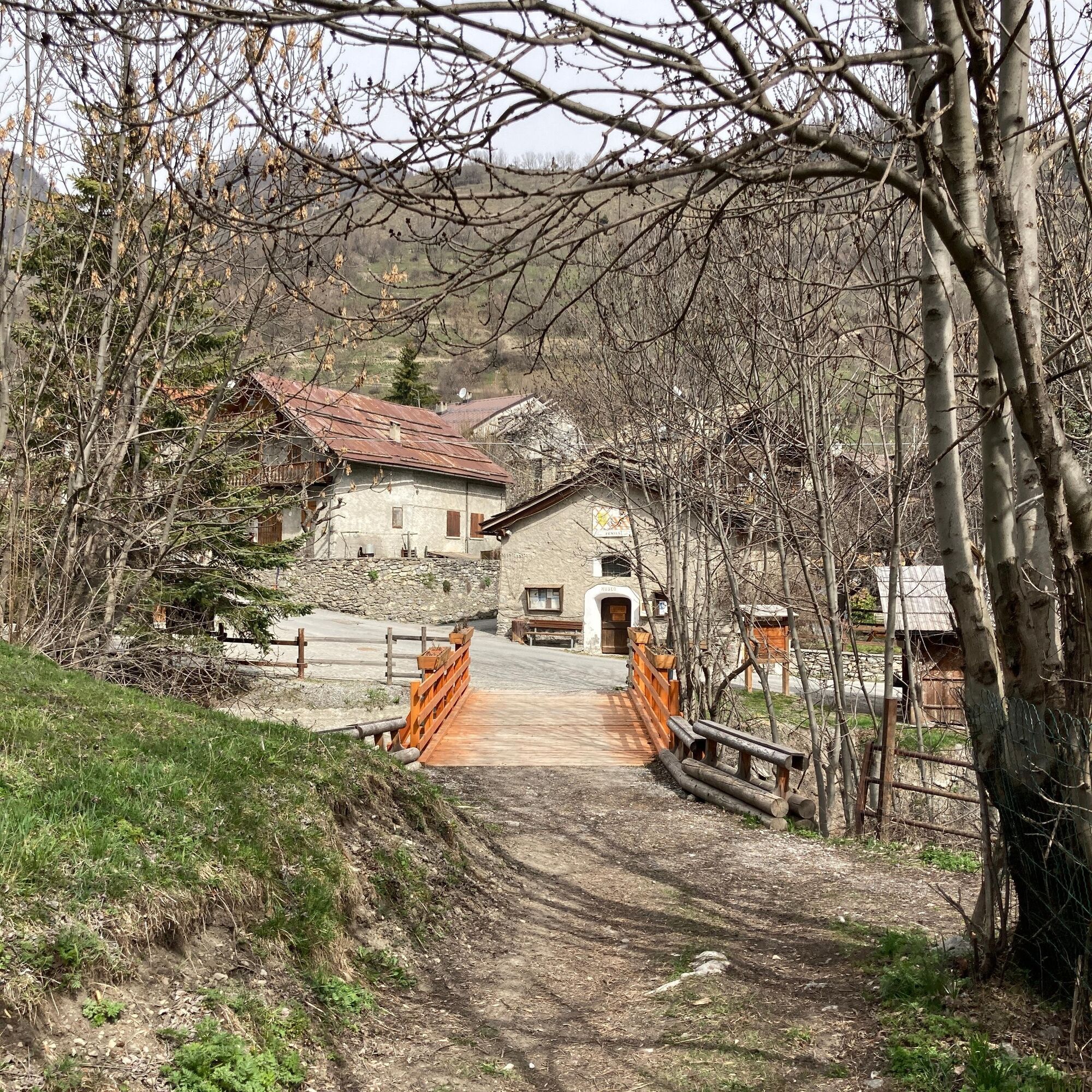
Arriving in the hamlet of Colletto rosso, you slowly enter a silent and harmonious forest until you reach the hamlet of Desertes. From here proceed downhill through the dirt carriage road-pay attention to cars-until you reach the crossroads on the state road, one of the two points of the route where caution and respect for the highway code are required. After 1.5 km in the direction of Cesana T.se, take the uphill fork again in the direction of Solomiac. You will now pedal on a wooded roadbed along a section of the Via Francigena, the famous pilgrimage route, until you reach Mollieres, . Having crossed the village and passed in front of the old bakery and the chapel of Sant'Antonio Abate, the last stretch back to Cesana is on the SS24.
Route suitable for MTB or E- bike for the less trained
- Maximum caution on the return sections that develop on SS24.
- In some sections, the route is shared with other types of users and is subject to traffic laws : therefore, it is advisable to pay attention to pedestrians and vehicles.
By car from Turin, follow the signs for Tangenziale Nord in the direction of Trafori - Frejus.
Take the A32 highway in the direction of Bardonecchia and exit at Oulx -Monginevro-Sestriere.
Continue on the state road toward Cesana Torinese.
Reachable by public transportation.
Train from Turin P.N to Bardonecchia (Oulx-Cesana-Claviere-Sestriere stop) + Arriva bus line 285 from Oulx to Cesana.
Parking possibilities
- shortly after Vittorio Amedeo Square, along Viale V Novembre (Bousson direction) paying attention to parking time slots
- In the parking lot near the Post Office on Viale III Reggimento Alpini.
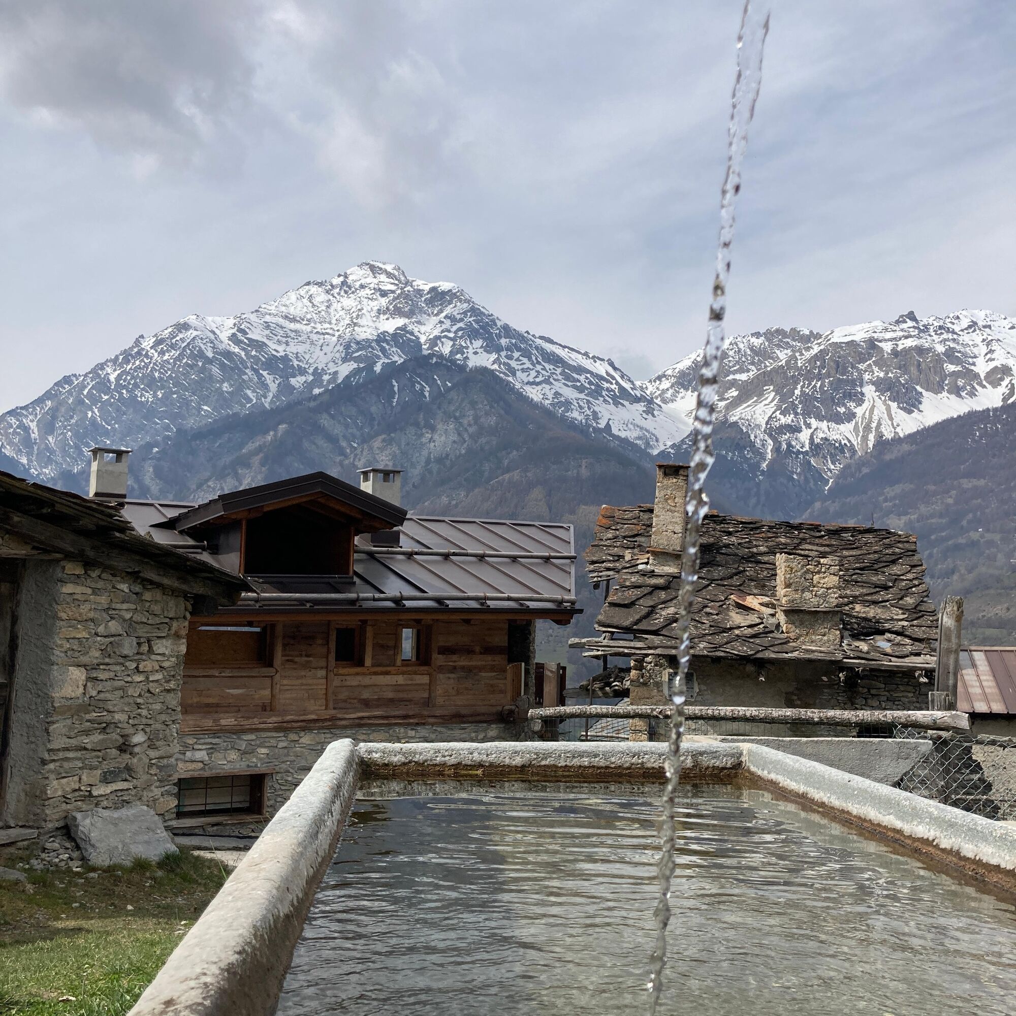
- Be sure to have some water bottles with you: you will find water fountains in the various hamlets
- Alternative to the sections on afalto: transfer by bus line 285 Oulx-Sestriere
Difficult route, suitable for physically trained and technically proficient people: the route is on mixed-bottom path at times very bumpy, others less so with stones and roots and significant slopes and narrow passages, at other times white roads of medium gradient and there are sections on aflat strata open to motorized traffic to reach the next path.
Популярные экскурсии по окрестностям
-
5,0
BARDONECCHIA Decauville
светПоход 7,29 км -
5,0
BARDONECCHIA Col des Acles - Passo della Mulattiera
тяжелыйПоход 6,57 км -
4,5
BARDONECCHIA Sentiero Walter Bonatti - Grange della Rho
среднийПоход 6,12 км -
5,0
CESANA T.SE To Fenils (No. 48)
светПоход 4,29 км -
5,0
BARDONECCHIA Forte Jafferau Ring
тяжелыйГорный велосипед 36,8 км -
BARDONECCHIA Punta Colomion - Passo della Mulattiera - Pian del Colle Ring
тяжелыйГорный велосипед 25,1 км -
BARDONECCHIA Punta Quattro Sorelle
тяжелыйПоход 8,69 км -
SESTRIERE Assietta Road
среднийГорный велосипед 43,3 км -
BARDONECCHIA Rocce della Sueur - Tour jaune de Barabbas
среднийПоход 4,12 км -
CESANA T.SE Val Thuras Valley
среднийПоход 7,58 км
Походы и трекинг


Не пропустите предложения и вдохновение для вашего следующего отпуска
Ваш адрес электронной почты был добавлен в список рассылки.