


Ottensteiner Plateau


The route starts at the Tourist Information in Bad Pyrmont and from there leads over the train station to Löwensen. Along the Emmer, you ride to Thal, cross the river, and continue to the main road. After...
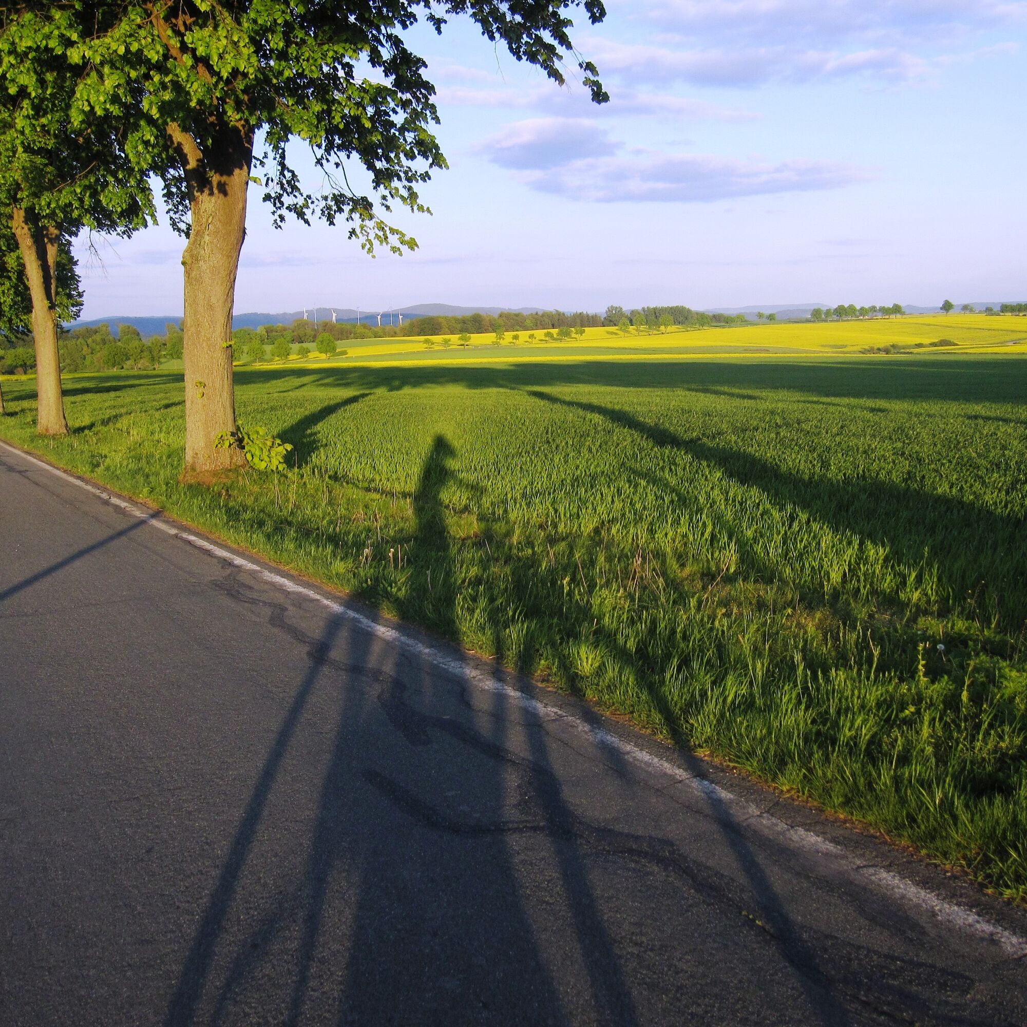
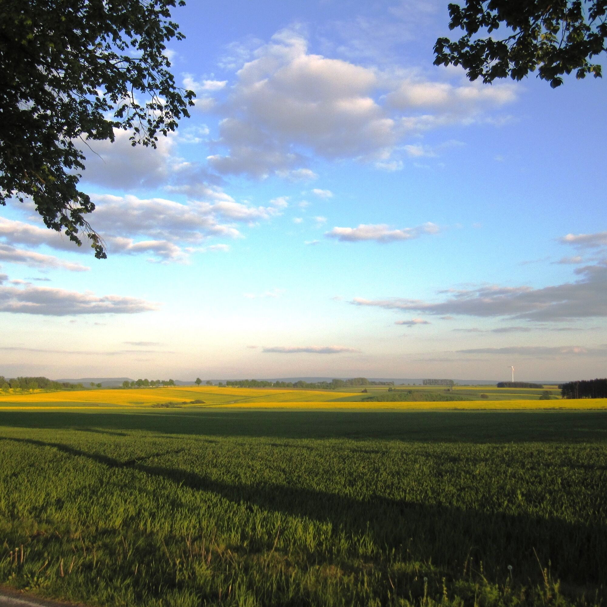
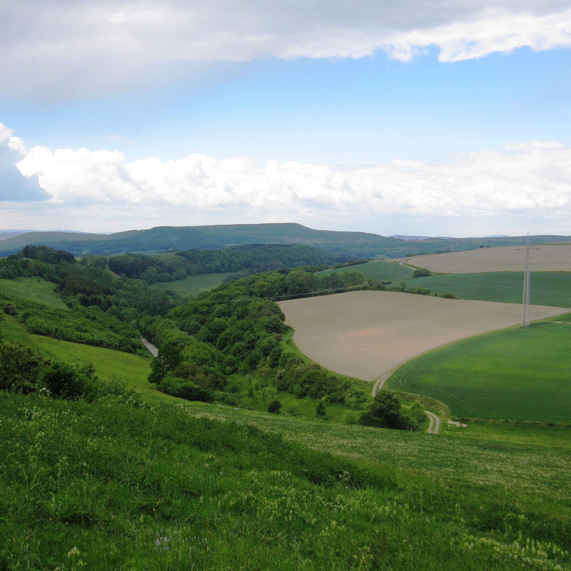
The route starts at the Tourist Information in Bad Pyrmont and from there leads over the train station to Löwensen. Along the Emmer, you ride to Thal, cross the river, and continue to the main road. After a short stretch on the main road, you can take the bike path to the junction to Lüntorf. From here, it goes uphill onto the Ottensteiner Plateau to Lüntorf. Once you reach Lüntorf, turn right towards Lichtenhagen and ride through the forest to the corresponding junction. From Lichtenhagen, continue via Eichenborn and Kleinenberg. At the first intersection there, turn left to Großenberg, pass through the village, and then leave the mountain villages heading towards Lügde. In Lügde, stay on the road until the large roundabout and take the third exit. Then turn right onto Brückenstraße, ride to the pedestrian crossing, and turn right into Emmerauenpark. Through the Emmer meadows, it goes back to the Tourist Information Bad Pyrmont.
You can stop on weekends at the Flugplatz-Gaststätte Kleinenberg, which is slightly off this route.
Additionally, the Westfälische Hof in Lügde or the café in Emmerauenpark Lügde offer good spots for a break.

The route starts at the Tourist Information in Bad Pyrmont and from there leads over the train station to Löwensen. Along the Emmer, you ride to Thal, cross the river, and continue to the main road. After a short stretch on the main road, you can take the bike path to the junction to Lüntorf. From here, it goes uphill onto the Ottensteiner Plateau to Lüntorf. Once you reach Lüntorf, turn right towards Lichtenhagen and ride through the forest to the corresponding junction. From Lichtenhagen, continue via Eichenborn and Kleinenberg. At the first intersection there, turn left to Großenberg, pass through the village, and then leave the mountain villages heading towards Lügde. In Lügde, stay on the road until the large roundabout and take the third exit. Then turn right onto Brückenstraße, ride to the pedestrian crossing, and turn right into Emmerauenpark. Through the Emmer meadows, it goes back to the Tourist Information Bad Pyrmont.
Most of this route takes you along country roads.
Популярные экскурсии по окрестностям
-
4,0
Naturpark-Wanderweg „Große Pyrmonter Bergrunde“, 15,5 km
тяжелыйПоход 15,3 км -
Emmer-Radweg
среднийВелоспорт 47,7 км -
Durch das Habichtstal (Po 2)
среднийПоход 7,09 км -
Lügde Osterbergweg
среднийПоход 7,49 км -
Small Pilgrim Route
светПаломнический маршрут 1,69 км -
5,0
Großer Rundwanderweg Aerzen
тяжелыйПоход 44,5 км -
Naturpark-Wanderweg „Schellental“ (barriere-arm), 2,6 km
светПоход 2,64 км -
Wide views and sunny heights (Ot 2)
среднийПоход 10,1 км -
Circular route Finkenborn - Riepen
среднийПоход 8,02 км -
Geomantic walk
светПоход 4,48 км
Походы и трекинг


Не пропустите предложения и вдохновение для вашего следующего отпуска
Ваш адрес электронной почты был добавлен в список рассылки.