


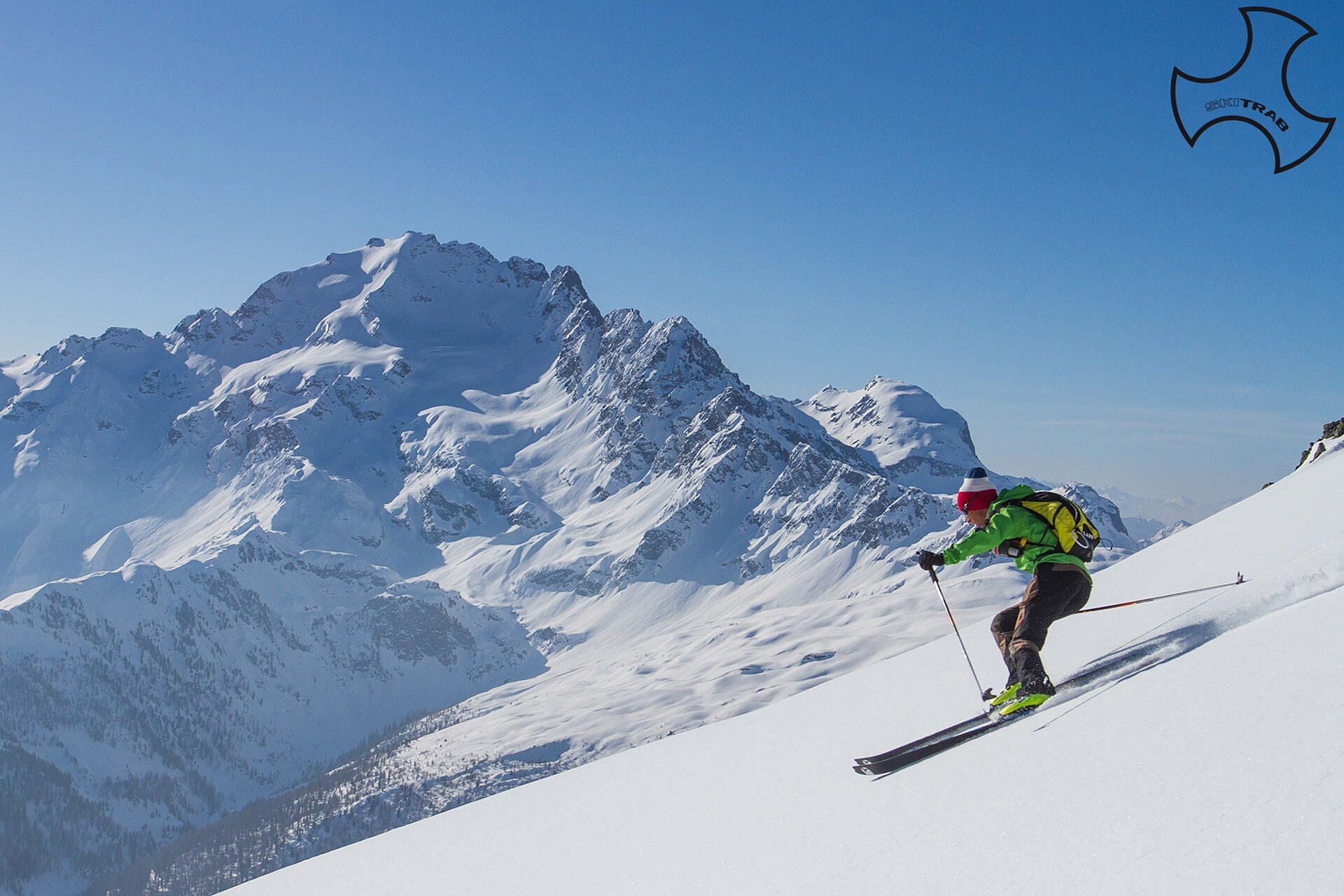
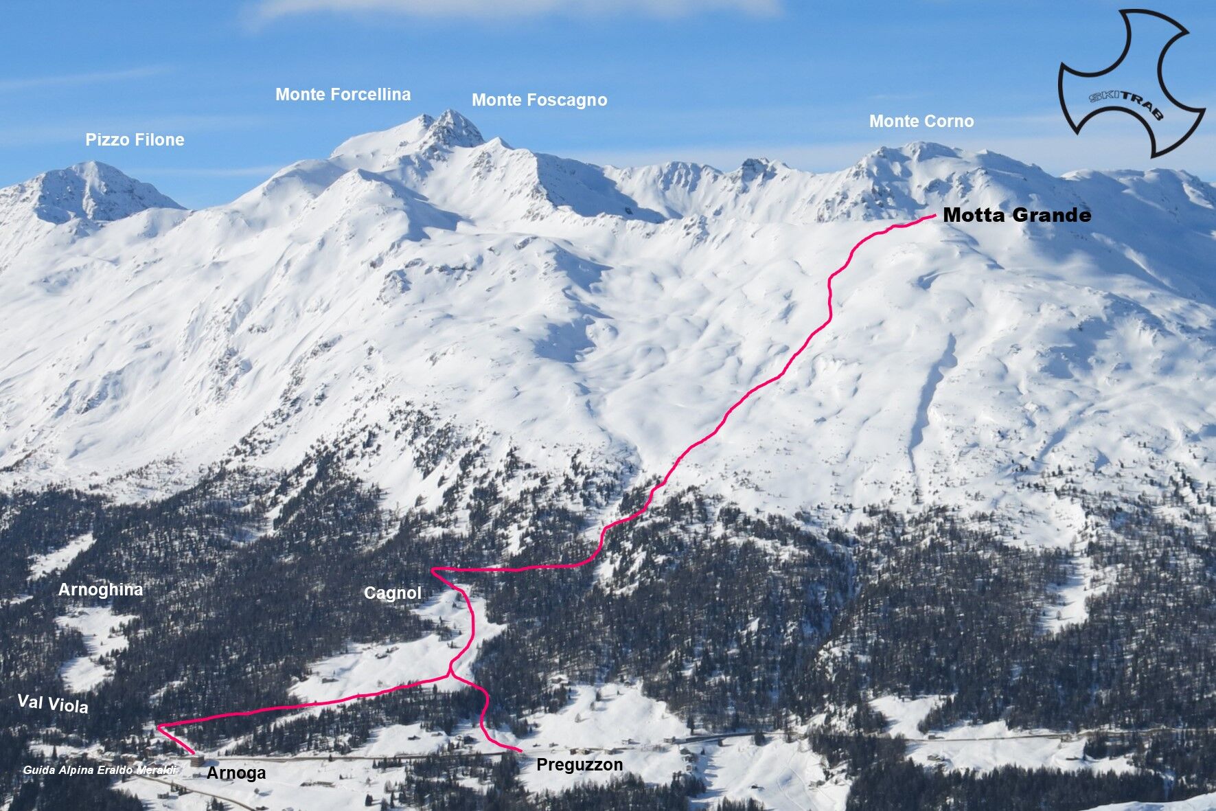
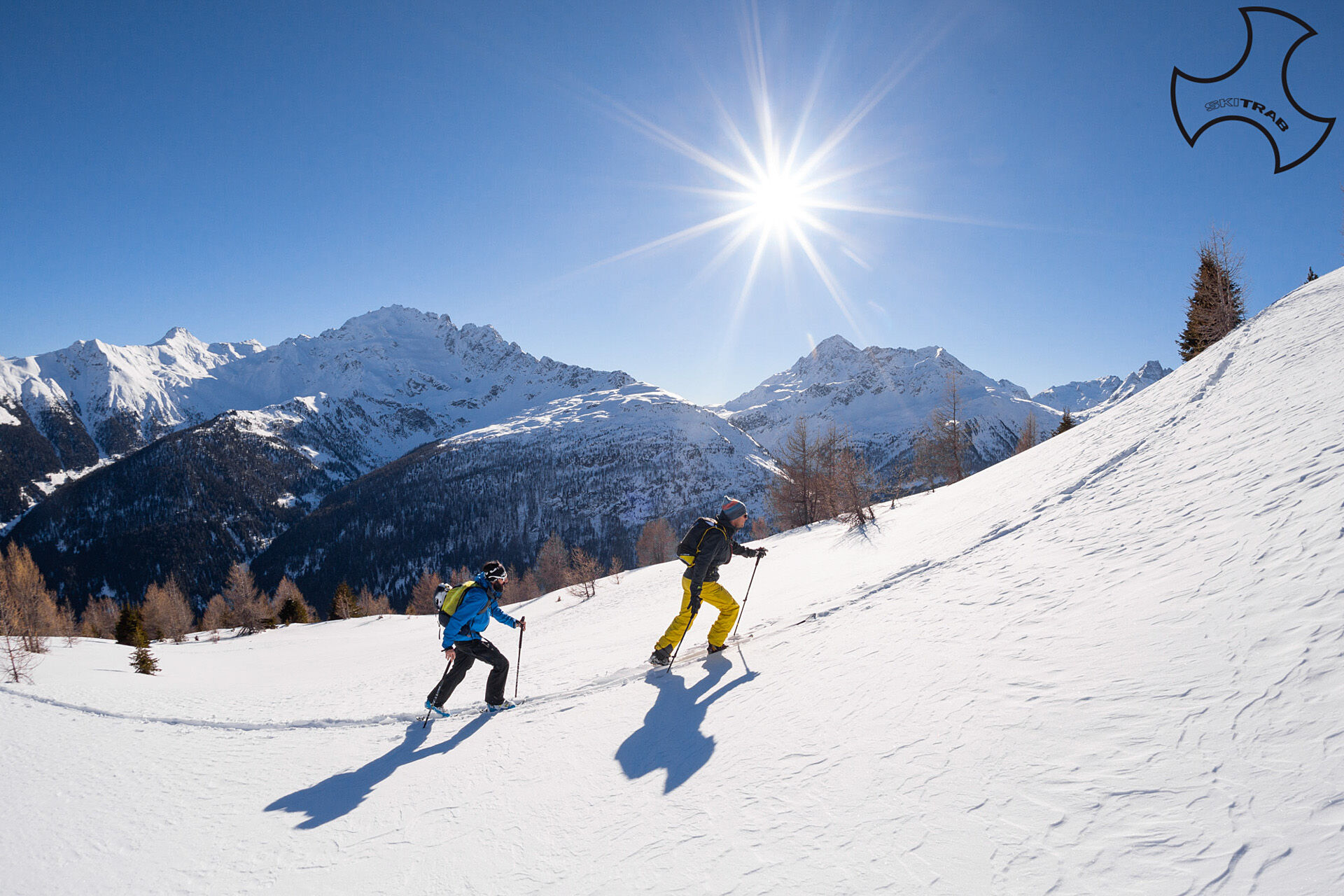
Motta Grande


From the parking area of Baite di Preguzzon placed on the left, three hundred meters ahead of the Arnoga hairpin bend, go up following a clearing to the left leads to pass a wooded section thus arriving...
From the parking area of Baite di Preguzzon placed on the left, three hundred meters ahead of the Arnoga hairpin bend, go up following a clearing to the left leads to pass a wooded section thus arriving at Baite Cagnol (2015 m), near an old ski lift that has been out of use for years (this point can also be reached starting from the parking lot near the Arnoga hairpin bend (1870 m), and following the state road to Livigno for a few tens of meters to then go up to the left along the summer road that climbs with a few long hairpin bends to the Baite di Cagnol). Now climb a little to the right of a vallecula along a steep, dense forest thus coming out on gentler slopes. Without an obligatory path you continue northward in the direction of the broad ridge of Motta Grande. In the final part you bend slightly to the right reaching the flat summit.
Forni, Rifugio Pizzini, Gran Zebru'.
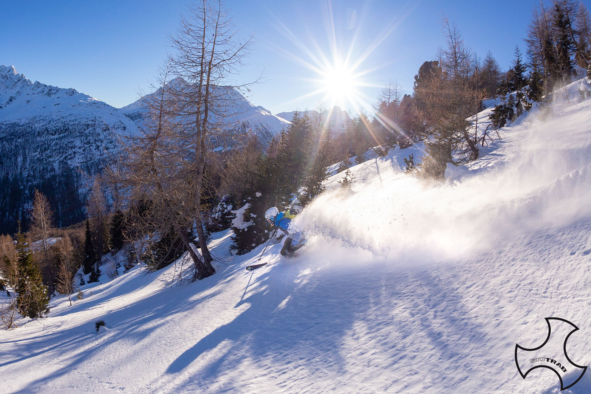
Self-rescue equipment (ARTVA, shovel and probe). Rampant.
The route description and trail are approximate and should be verified on site depending on the condition of the snowpack present during the hike.
Because this is a hike in a snowy mountain environment at high altitudes subject to continually changing snowpack conditions, it is advisable to have adequate experience in ski mountaineering, knowledge of the area, and up-to-date information on snow conditions.
Accompaniment with a professional guide is recommended.
Ample parking at the start.
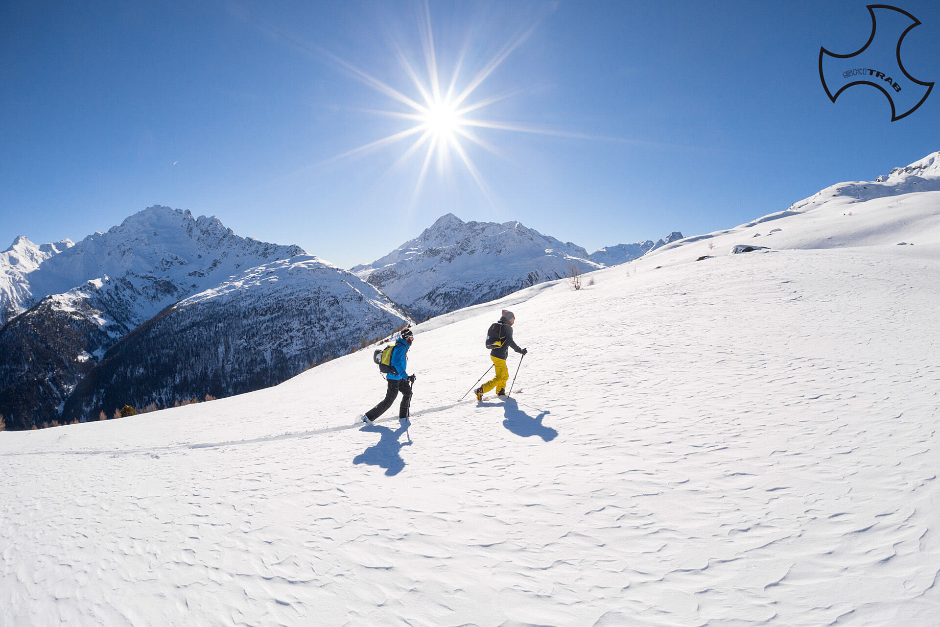
The route description and trail are approximate and should be verified on site depending on the condition of the snowpack present during the hike.
Because this is a hike in a snowy mountain environment at high altitudes subject to continually changing snowpack conditions, it is advisable to have adequate experience in ski mountaineering, knowledge of the area, and up-to-date information on snow conditions.
Accompaniment with a professional guide is recommended.
Веб-камеры во время экскурсии
Популярные экскурсии по окрестностям
-
5,0
Mountain hike to Lagh da Saoseo
тяжелыйПоход 15,0 км -
4,5
Stelvio Epic Rides: Stelvio Pass
тяжелыйДорожный велосипед 20,9 км -
4,5
Da Sfazù a lago Saoseo
светПоход 11,0 км -
5,0
Energy2Run Cancano
среднийТрейлраннинг 19,1 км -
5,0
Crap da la Pare' with Joëlette
светПоход 4,58 км -
5,0
Mount Staircase Ring
среднийПоход 7,53 км -
Lagh dal Teo - Das Juwel am Fuss des Piz dal Teo
Поход 15,8 км -
Livigno/Lago di S Giacomo di Fraele
среднийE-MTB 43,9 км -
Cancano Lakes Tour
среднийПоход 19,3 км -
Val da Camp (724)
среднийПоход 5,33 км

Походы и трекинг


Не пропустите предложения и вдохновение для вашего следующего отпуска
Ваш адрес электронной почты был добавлен в список рассылки.