


In the shadow of Grand Arnsbourg


Equipped with a remarkable Romanesque keep, the castle was built on a sandstone ridge about one hundred meters long composed of two rocks separated by a fault. It was certainly constructed during the second...
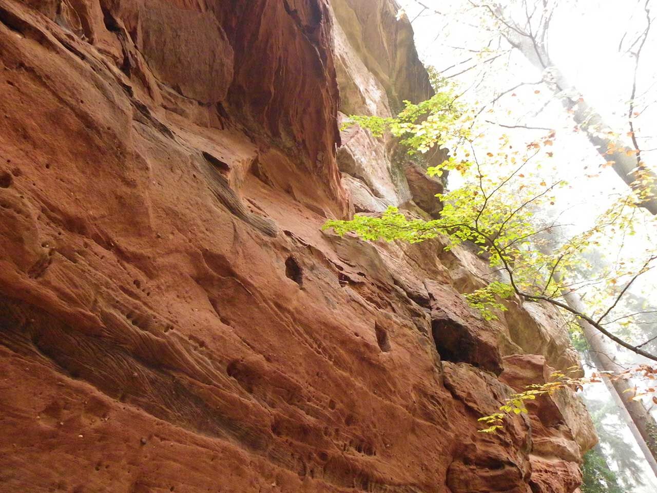
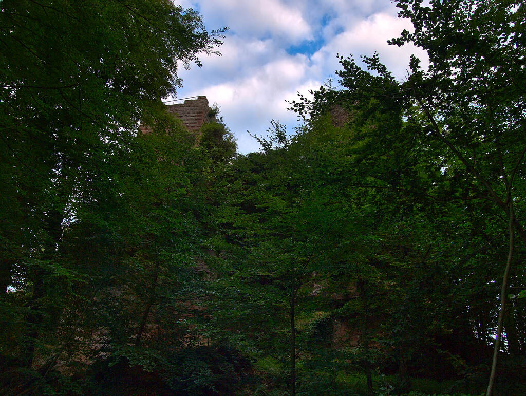
Equipped with a remarkable Romanesque keep, the castle was built on a sandstone ridge about one hundred meters long composed of two rocks separated by a fault. It was certainly constructed during the second half of the 12th century to oversee the road from Haguenau to Bitche along the Zinsel. The castle was mentioned as ruins in 1547.

https://www.sitlor.fr/photos/855/855145761_d1.pdf
Да
Clothing suitable for the season and conditions (cold, hot, wet…)
Hiking boots adapted to the terrain (even for children!)
Telescopic poles (useful for stability and to relieve the joints)
Mobile phone and spare battery if needed
Check general and local weather ensuring no precipitation. Get information on the approach hike, itinerary altitude, walking time, possible escape routes (IGN map, GPS, guidebook, etc…)
Assess possible risks by consulting mountain professionals, refuges, lodges
Inform a close contact about your objective and update them in case of change: departure and return times, number of participants with each person's phone number, vehicle(s), parking
Avoid setting out alone, use equipment suitable for the activity, adjusted and in good condition, headlamp, complete first aid kit, survival blanket, etc…
In case of emergency, call 112
D87 road from Baerenthal (57230) or D141 from Zinswiller (67110)
www.fluo.eu
Free parking at the place called Schlangenthal
Bitche Country Tourist Office
03 87 06 16 16
Moselle Tourism: 03 87 21 53 90
Популярные экскурсии по окрестностям
-
Sentier d'excellence 1: Around Ramstein Castle
среднийПоход 7,28 км -
4,5
Ascent of the Grand Wintersberg
среднийПоход 13,0 км -
Burchten en rotsen
среднийПоход 11,6 км -
24.08.2025 - Spätsommer Rundwanderung über Hasselfurther Weiher und Entenbächl
светПоход 7,31 км -
4,8
Wasigenstein und Zigeunerfelsen von Obersteinbach
Поход 10,6 км -
Hiking route to the castles of Windstein
тяжелыйПоход 20,6 км -
3 days on the trail of the Northern Vosges castles
тяжелыйПешеходная тропа большой протяженности 67,1 км -
Marathon
тяжелыйПоход 44,9 км -
Entre l'Alsace et la Moselle
среднийВерховая езда 164,6 км -
Hiking route to the castles of Schoeneck and Wineck
светПоход 5,06 км
Походы и трекинг


Не пропустите предложения и вдохновение для вашего следующего отпуска
Ваш адрес электронной почты был добавлен в список рассылки.