


Southern Piedmont Way | Stage 1 Capanne di Cosola – Montaldo di Cosola


Фотографии наших пользователей
The departure is in Capanne di Cosola, near the hotel restaurant of the same name, and the stage begins with a stretch of the CAI 200 path going up towards Monte Chiappo. After about 100 meters you come...
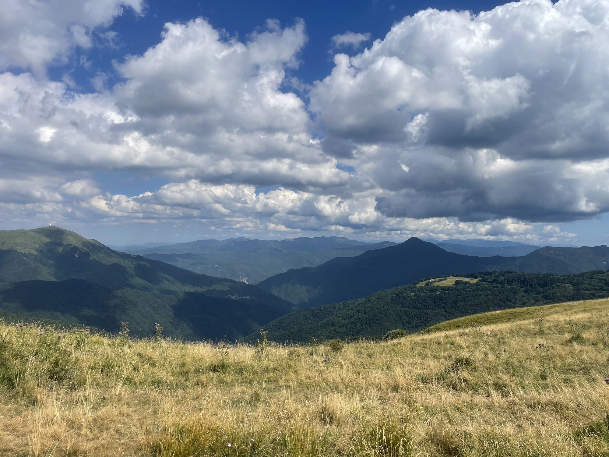
The departure is in Capanne di Cosola, near the hotel restaurant of the same name, and the stage begins with a stretch of the CAI 200 path going up towards Monte Chiappo. After about 100 meters you come across the CAI 226 path, which you will have to follow to reach Montaldo di Cosola. The CAI 226 proceeds on the plain crossing the area of holiday homes called "I Faggi", at the end of which, at a crossroads, turn right and continue climbing through a beautiful beech forest. The path now continues slightly downhill until it reaches a small religious shrine and then returns to the beech forest making a sharp turn to the right. After about 200 meters you finally exit the woods and cross the slopes of Mount Chiappo halfway up the hill.
About 2 km from the start the path starts to climb again and by turning left you quickly reach the dirt road that goes up to Passo Bocca di Crenna (1520 m), the crossing point between Val Borbera and Val Curone and the intersection of several paths, including the CAI 200 also called Anello Borbera Spinti. The route of the stage does not reach the pass, but continues, now downhill, along a comfortable track until reaching, at an altitude of 1400 metres, a large enclosure used in the summer months for the shelter of grazing livestock.
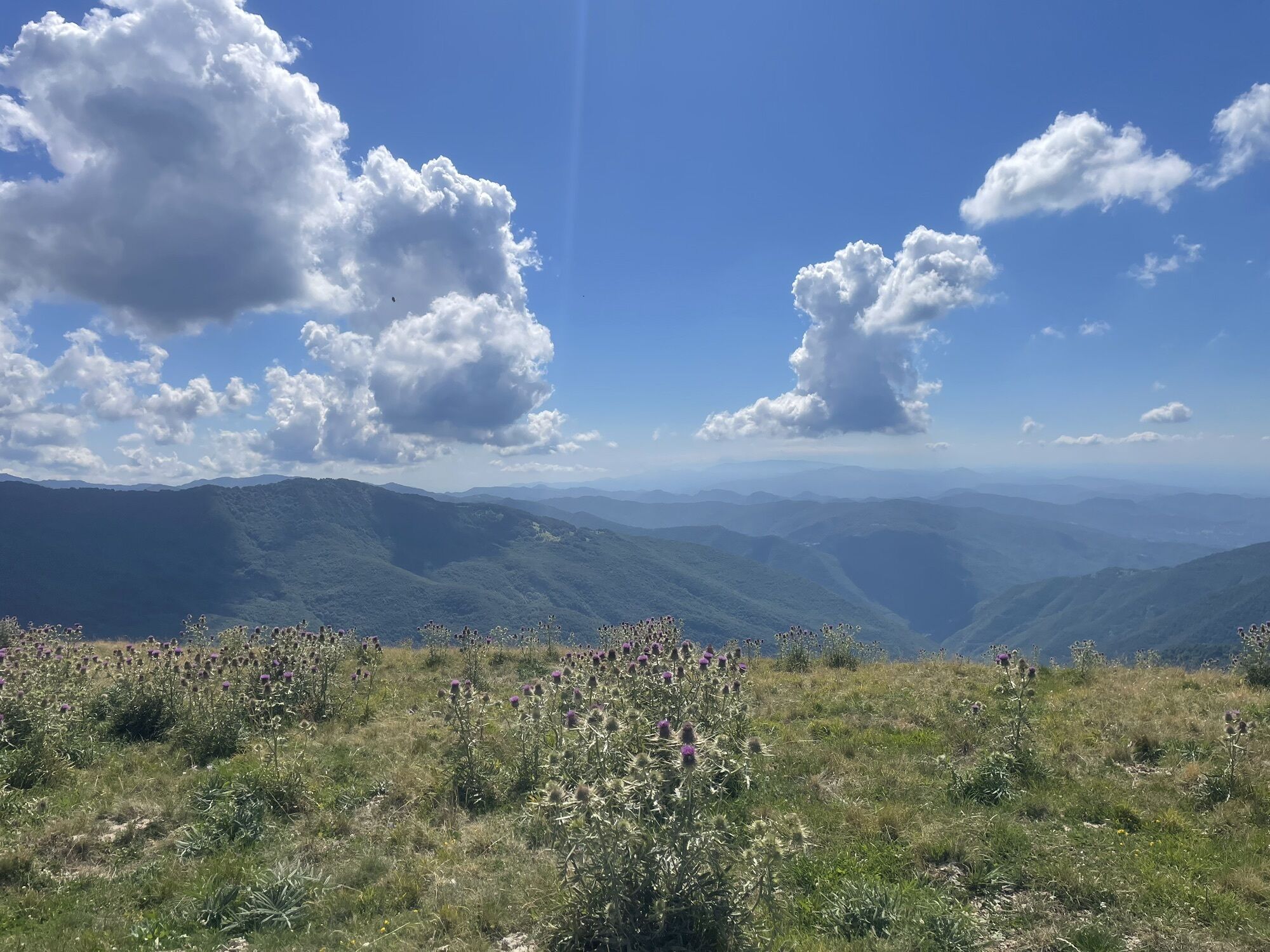
From here it continues for about 500 meters and enters the woods: we are about halfway through the stage route.After leaving the woods and crossing an open area, you cross provincial road 140 and follow it for about 100 metres, until you reach the crossroads at the hairpin bend that leads to the swimming pool and sports area of Cosola, a hamlet of Cabella Ligure. Still following the signs for CAI path 226, you cross the sports areas until you reach the entrance to the path that leads to the Aie di Cosola hamlet, located at an altitude of 992 metres.
You cross the hamlet and soon reach the Church of Cosola, where you meet the asphalt road again, which you follow for another 200 meters to the hamlet of Montaldo di Cosola, where both the CAI path 226 and the first stage end.

Dopo circa 1 Km di percorso, a quota 1520 m, si incontra la presa dell’acquedotto, dove è possibile rifornirsi di acqua potabile.
Популярные экскурсии по окрестностям
-
Sentiero 105 : Sentiero Selvapiana - Capanne di Cosola in mountain bike
Горный велосипед 14,6 км -
Sentiero 105 : Sentiero Selvapiana - Capanne di Cosola in camminata
Паломнический маршрут 14,6 км -
Sentiero 200 - Anello Borbera - Spinti - TAPPA 4/11 (Forcella Sud Monte Barillaro - Monte Giarolo) in mountain bike
Горный велосипед 13,3 км -
Sentiero 200 - Anello Borbera - Spinti - TAPPA 4/11 (Forcella Sud Monte Barillaro - Monte Giarolo) in camminata
Паломнический маршрут 13,3 км -
Sentiero 200 - Anello Borbera - Spinti - TAPPA 7/11 (Capanne di Carrega - Monte Antola) in camminata
Паломнический маршрут 6,23 км -
Sentiero 200 - Anello Borbera - Spinti - TAPPA 7/11 (Capanne di Carrega - Monte Antola) in mountain bike
Горный велосипед 6,23 км -
5,0
Sentiero 106 : Sentiero Caldirola - Monte Ebro in mountain bike
Горный велосипед 4,62 км -
Sentiero 106 : Sentiero Caldirola - Monte Ebro in camminata
Паломнический маршрут 4,61 км -
Sentiero 200 - Anello Borbera - Spinti - TAPPA 5/11 (Capanne di Cosola - Monte Giarolo) in camminata
Паломнический маршрут 9,93 км -
Sentiero 200 - Anello Borbera - Spinti - TAPPA 5/11 (Capanne di Cosola - Monte Giarolo) in mountain bike
Горный велосипед 9,96 км
Походы и трекинг


Не пропустите предложения и вдохновение для вашего следующего отпуска
Ваш адрес электронной почты был добавлен в список рассылки.