


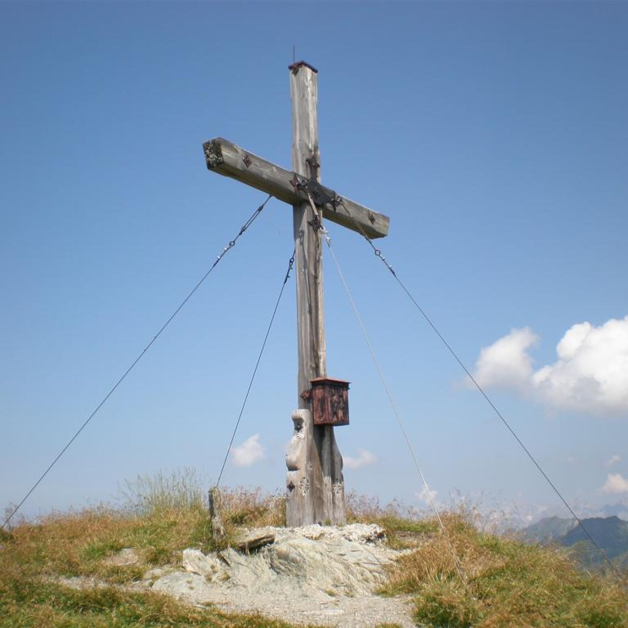
Gamshag


Фотографии наших пользователей
-
 © firebird 93Создано на 26.09.2023
 -
 © firebird 93Создано на 26.09.2023
 -
 © firebird 93Создано на 26.09.2023
 -
 © firebird 93Создано на 26.09.2023
 -
 © Dávid AlföldyСоздано на 18.05.2023
 -
 © Dávid AlföldyСоздано на 18.05.2023
 -
 © Dávid AlföldyСоздано на 18.05.2023
 -
 © Dávid AlföldyСоздано на 18.05.2023
 -
 © Dávid AlföldyСоздано на 18.05.2023

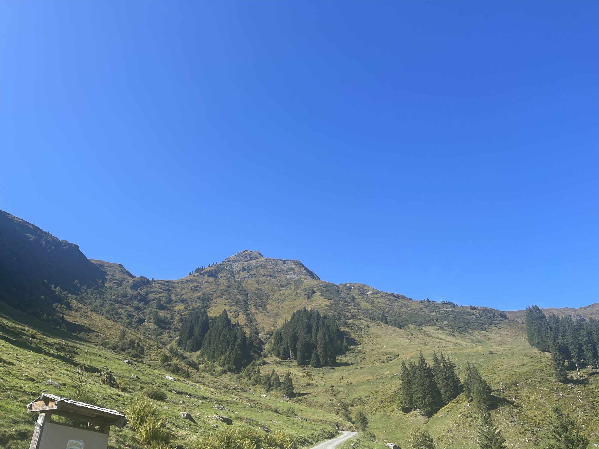


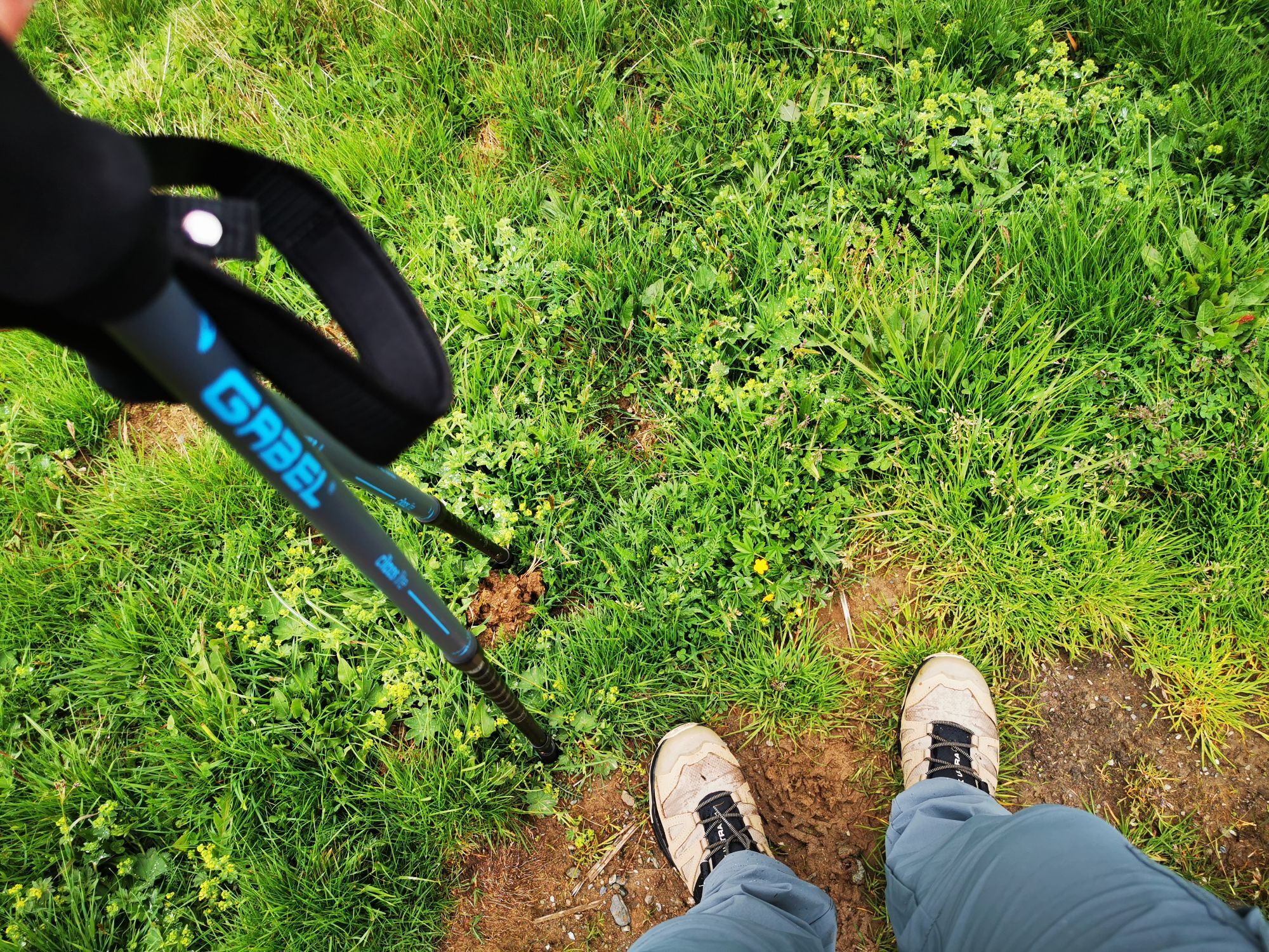
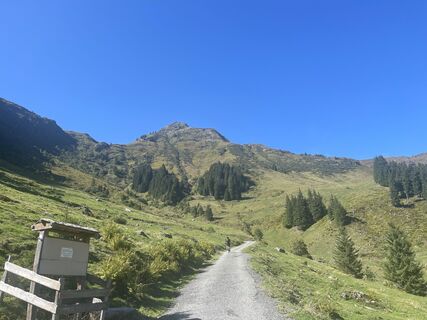
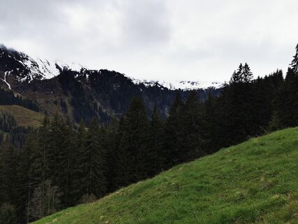
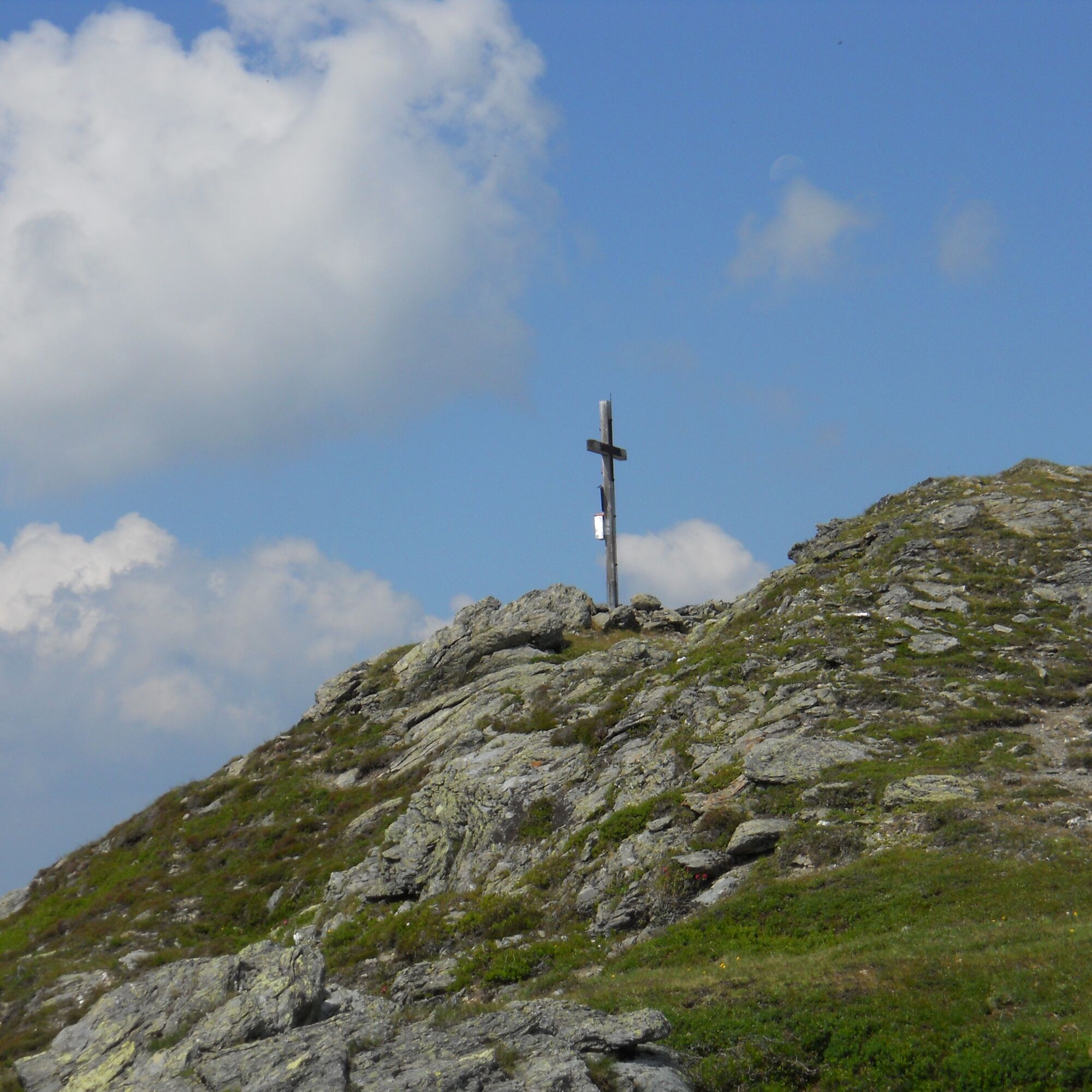
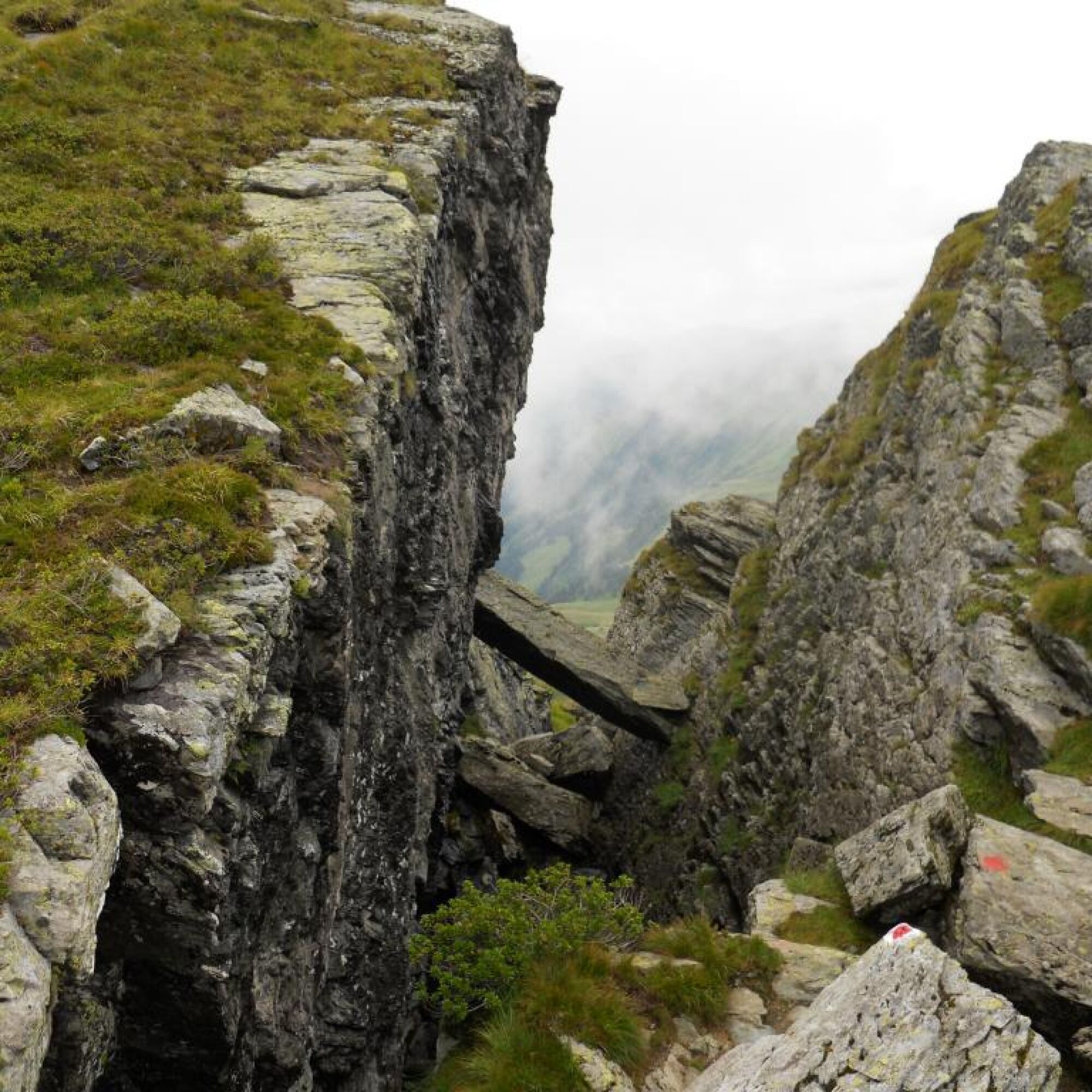
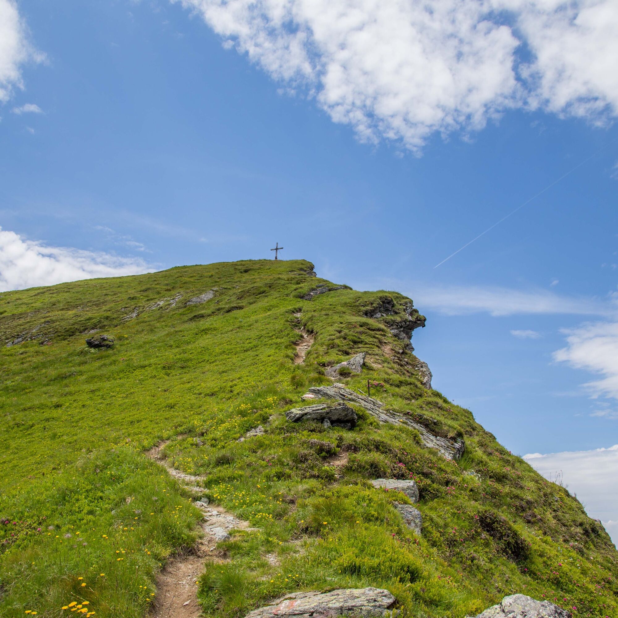
From Lindlingalm and past Teufelswasser take the demanding path on the left to Schusterscharte. Partly along the ridge and on the slopes to Hochtor. Here the path winds up to Teufelssprung and over the...
From Lindlingalm and past Teufelswasser take the demanding path on the left to Schusterscharte. Partly along the ridge and on the slopes to Hochtor. Here the path winds up to Teufelssprung and over the scenic ridge to Gamshag.
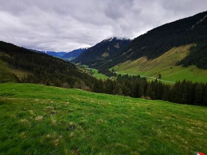
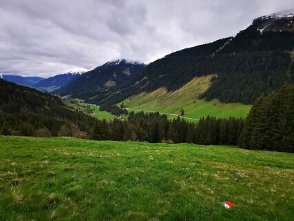
For the descent route, choose the well-marked path via Saaljoch back to the starting point.


By bus or car to Lengau.
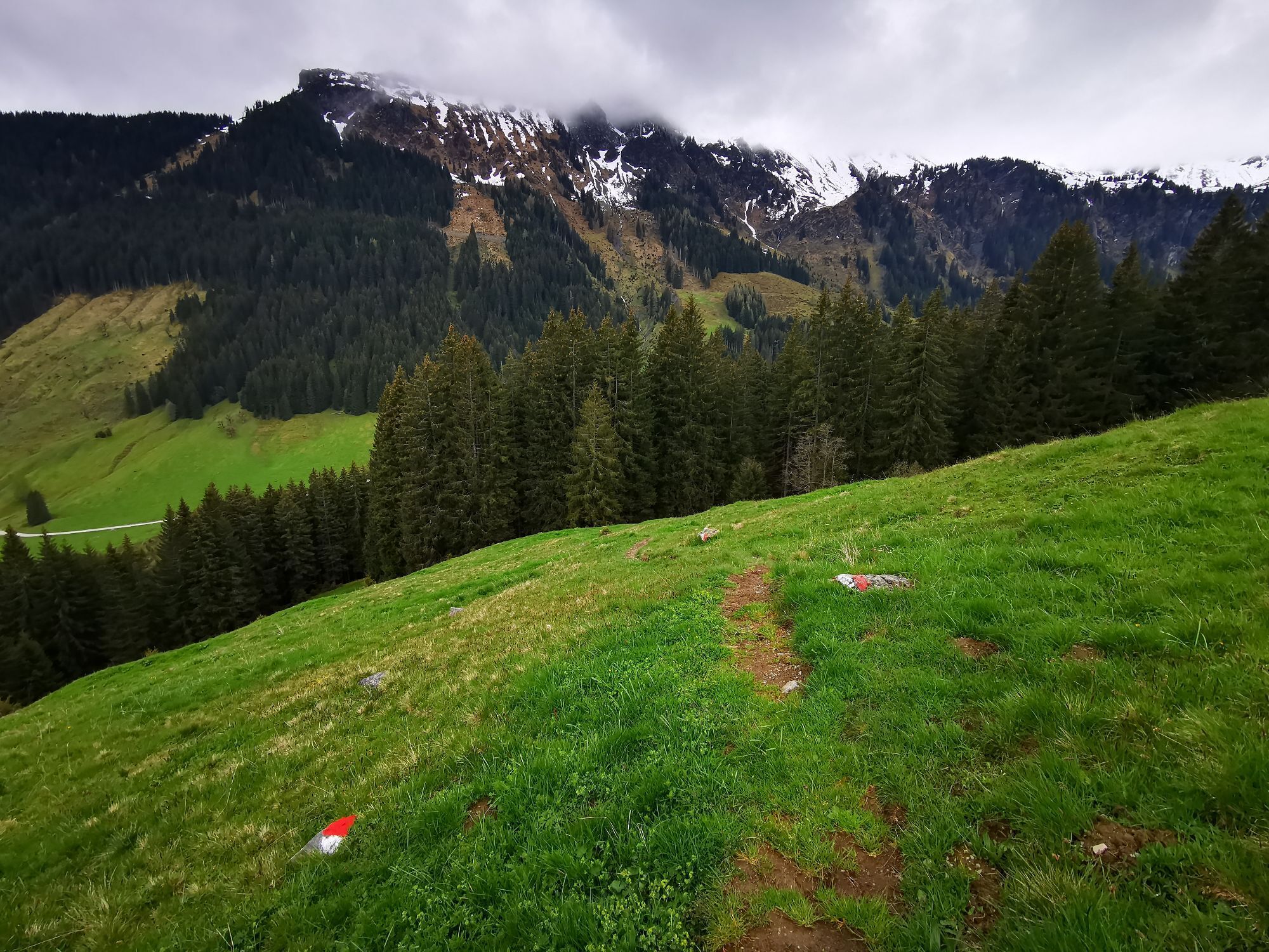
From here on foot to Lindlingalm and about 200 m after it turn left and take the very steep path over the so-called Birgl
to Schusterscharte.
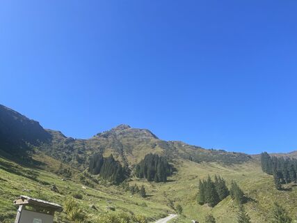
The path then becomes easier and leads over Mittagskogel to Hochtor.
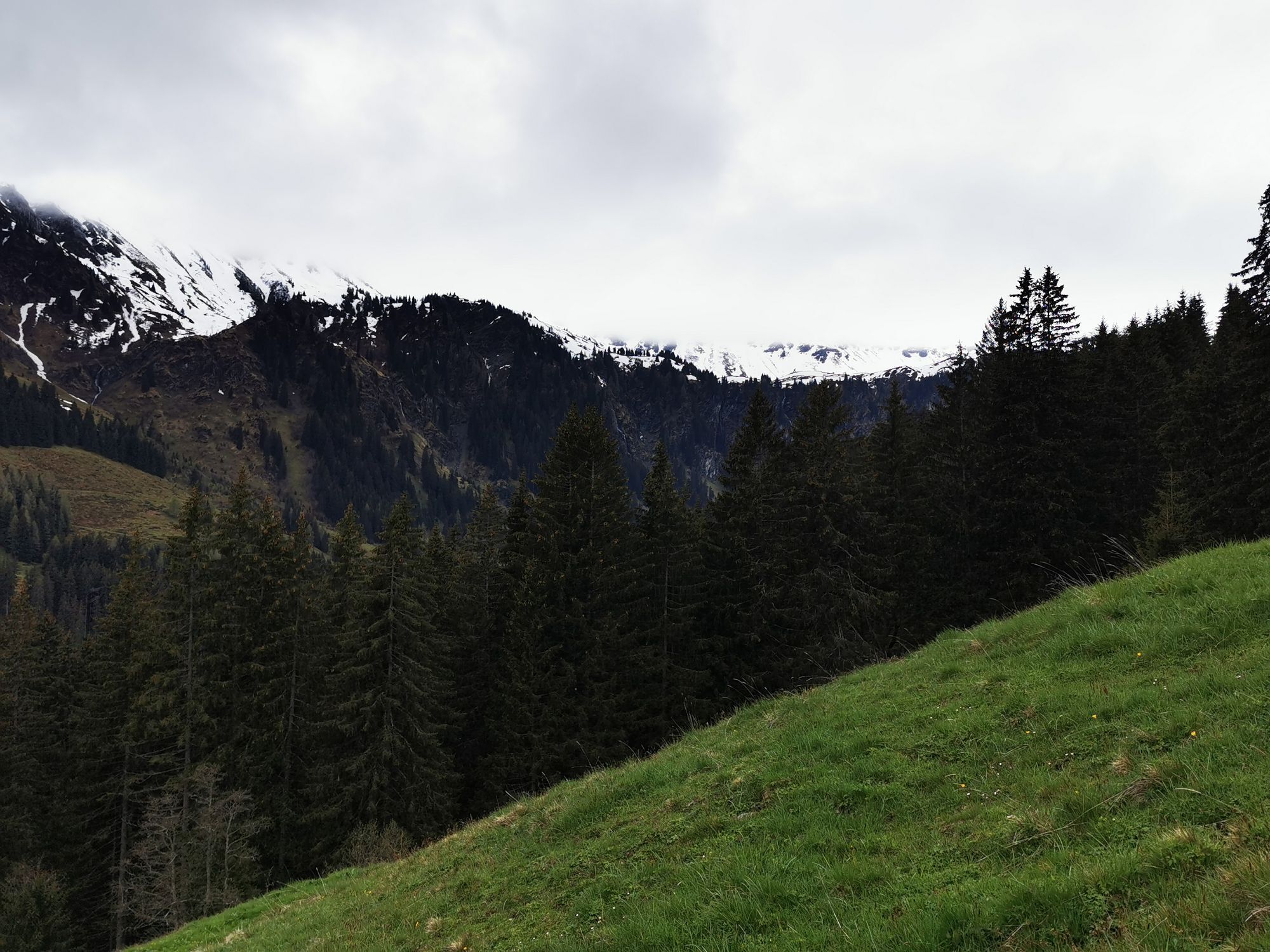
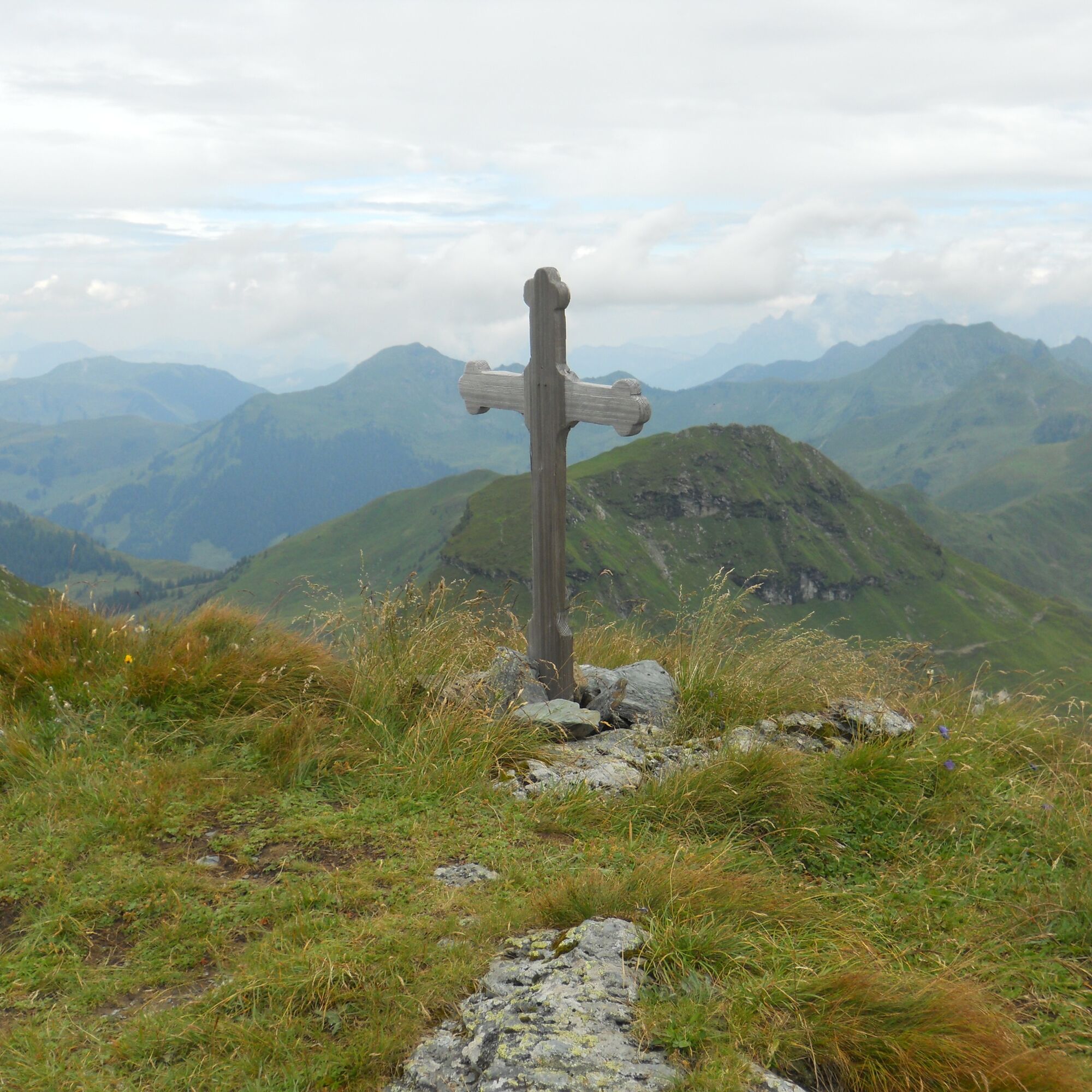
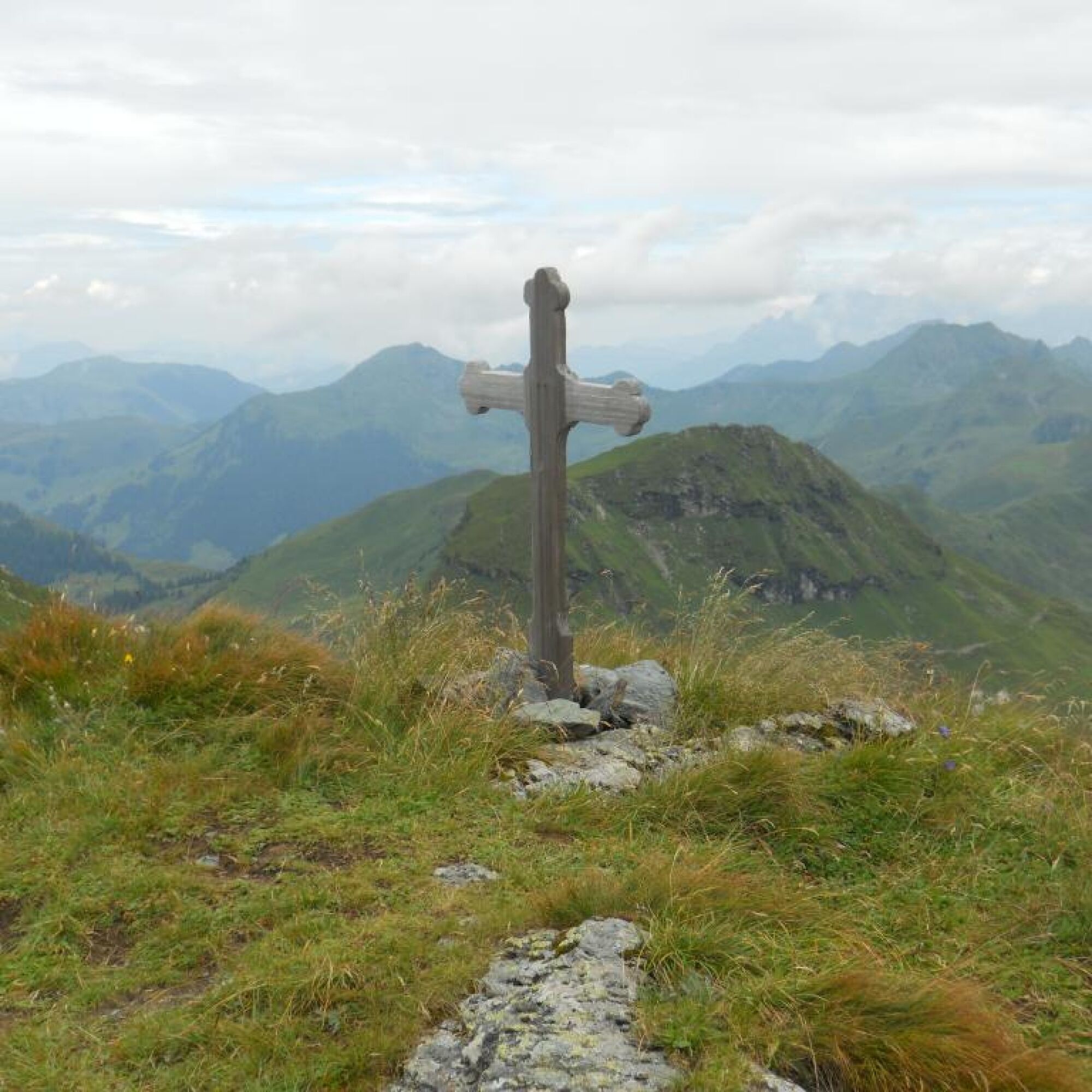
The following ascent to Teufelssprung is again more strenuous, but the subsequent ridge walk to Gamshag offers a magnificent panorama.
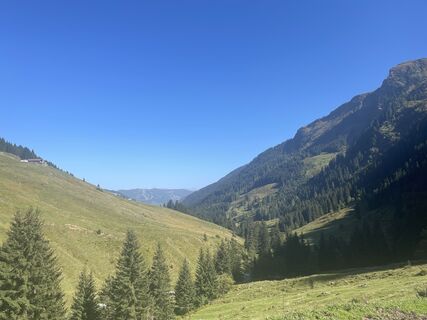
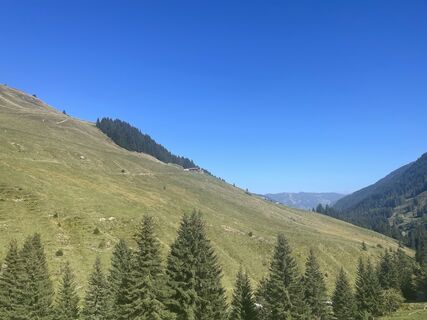
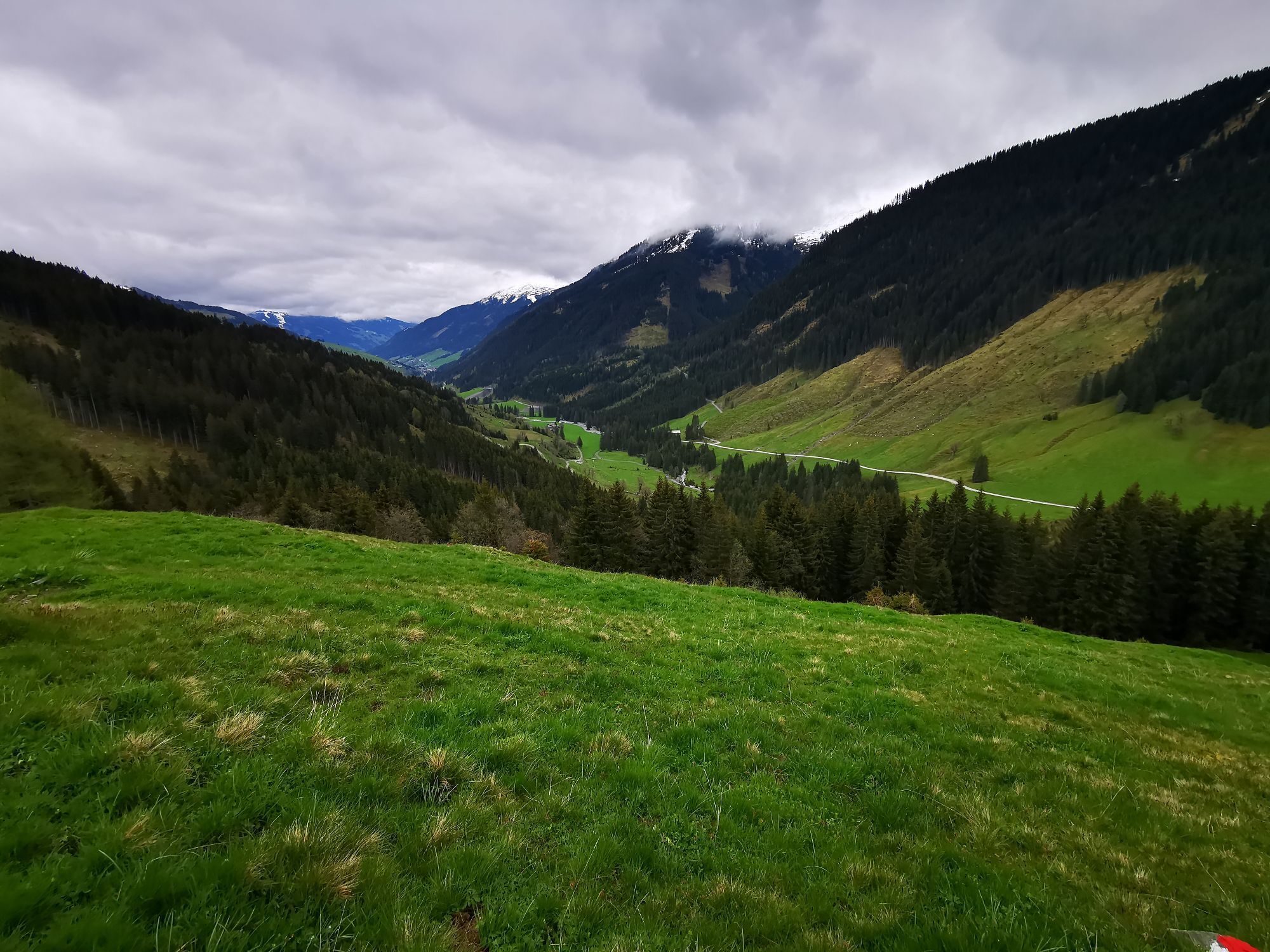
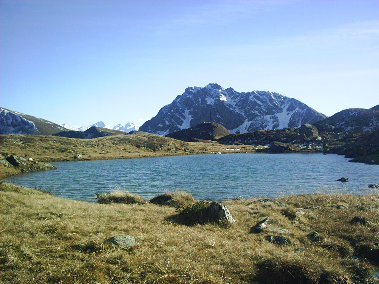
The first goal on the descent is Hochtorsee, below Tristkogel you reach Saaljoch and via the managed alpine pastures in the valley end back to Lengau.
Да
Mountain boots, rainwear, sun protection
From Maishofen about 18 km along L111 to Hinterglemm. Through the tunnel in Hinterglemm and about 4 km further to Lengau.
On foot from Lengau to Lindlingalm approx. 30 minutes, or ride with the valley end shuttle train - valley end shuttle train operates from late May to early October
Postbus - daily from 7:00 a.m. to 7:00 p.m.
http://www.postbus.at/de/Fahrplanauskunft/index.jsp
Free parking about 200 m after Hotel Lengauerhof
The valley end train runs between Lengau and Lindlingalm.
Observe operating times!
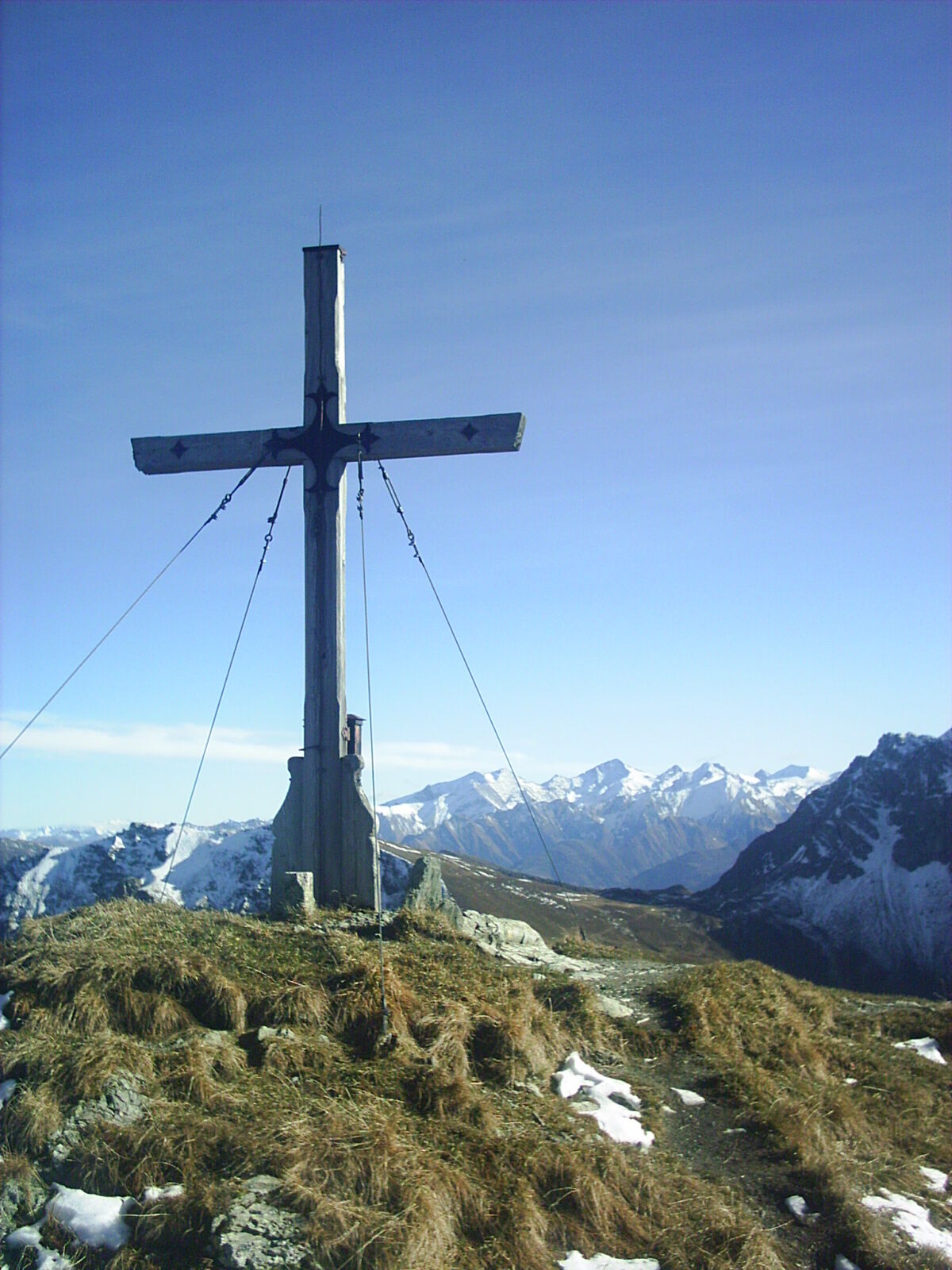
On the descent, Tristkogel also offers itself as another destination.
Популярные экскурсии по окрестностям
-
4,7
Tristkogel
тяжелыйПоход 15,6 км -
4,9
Streif Wanderweg
среднийПоход 5,73 км -
4,2
Spielbergalmen
среднийПоход 10 км -
5,0
Manlitzkogel
тяжелыйПоход 13,4 км -
4,6
Kitz Bhf- Kitzbühler Horn und zurück zum Alpenhaus
среднийПоход 11,8 км -
Route 232: Hahnenkamm
Горный велосипед 15,1 км -
4,3
Schattberg Summit Round
среднийПоход 3,17 км -
3,3
Hinterglemm: Talschluß-Höhenweg
светПоход 10,8 км -
3,8
Hollersbach: Pihapper Wegnr. 935
тяжелыйПоход 12,8 км -
5,0
Panorama route 3 peaks and 2 lakes
среднийПоход 7,35 км
Походы и трекинг


Не пропустите предложения и вдохновение для вашего следующего отпуска
Ваш адрес электронной почты был добавлен в список рассылки.