
- Краткое описание
-
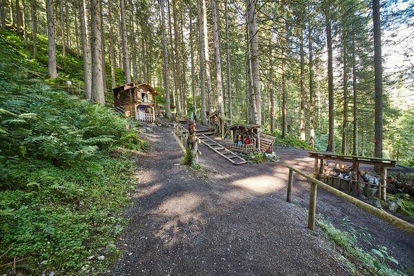
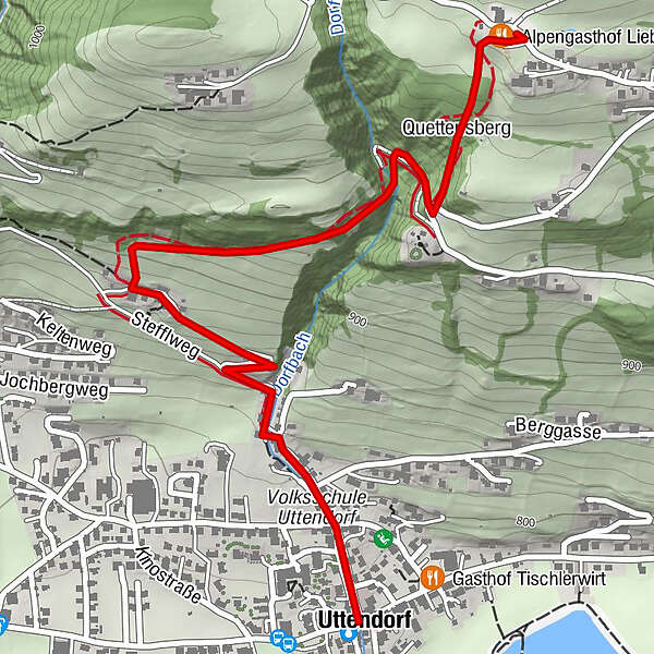
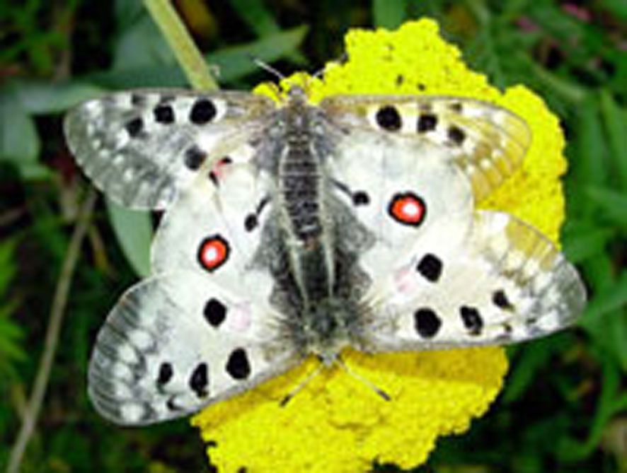
From the town center along Dorfbachstrasse and then following the information boards up the sunny slope of Uttendorf. The boards describe the growth and decay, the life and use of butterflies.
- Маршрут
-
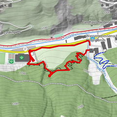
UttendorfQuettensberg2,0 kmAlpengasthof Liebenberg2,3 km
- Самая высокая точка
- 1.070 m
- Место назначения
-
Alpengasthof Liebenberg
- Профиль возвышения
-

-
-
АвторТур Uttendorf: Butterfly nature trail используется outdooractive.com предоставлен.
GPS Downloads


Общие сведения
Фауна
Другие туры в регионах