© Fremdenverkehrszweckverband Pfälzer Bergland

© VG Oberes Glantal

© FVZV Pfälzer Bergland

© VG Oberes Glantal

© VG Oberes Glantal

© FVZV Pfälzer Bergland

© Fremdenverkehrszweckverband Pfälzer Bergland

© FVZV Pfälzer Bergland

© Klaus Schwarz

© FVZV Pfälzer Bergland

- Краткое описание
-
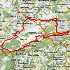
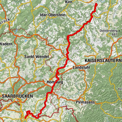
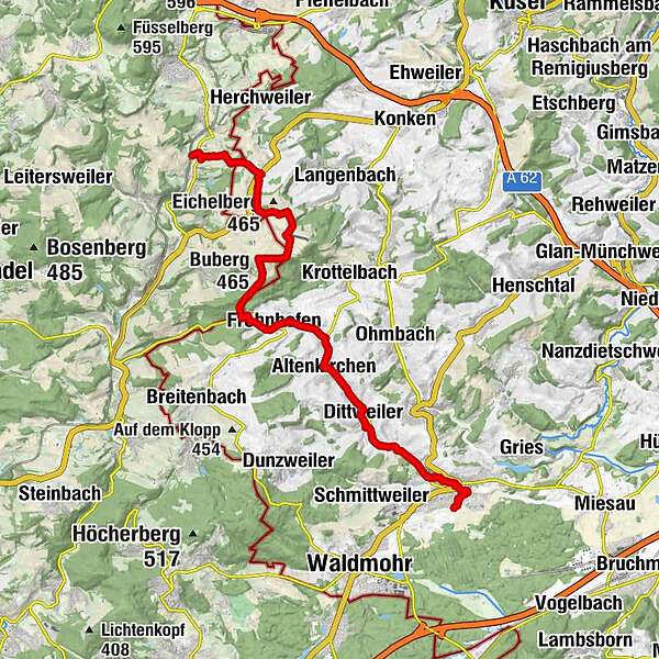
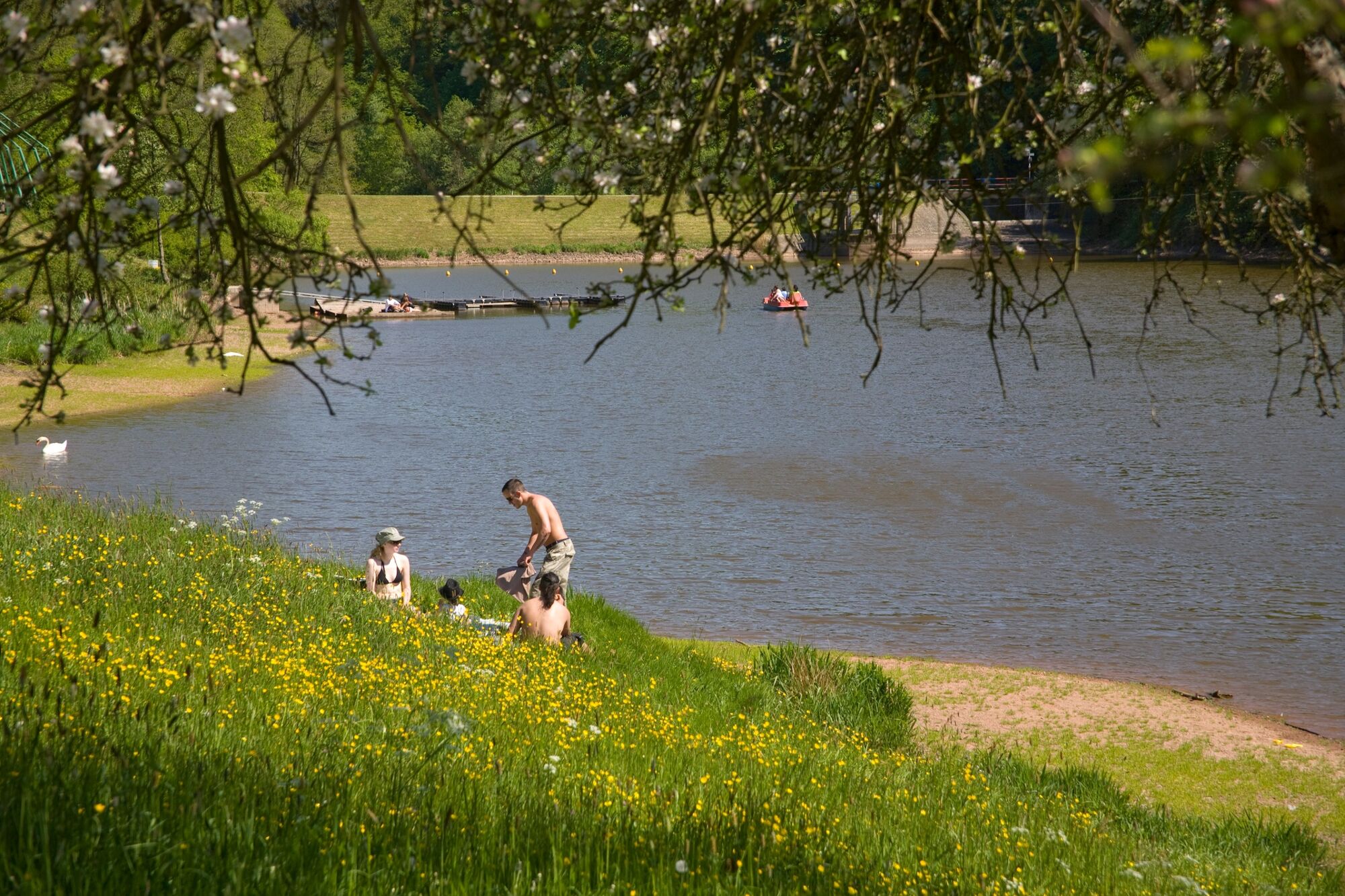
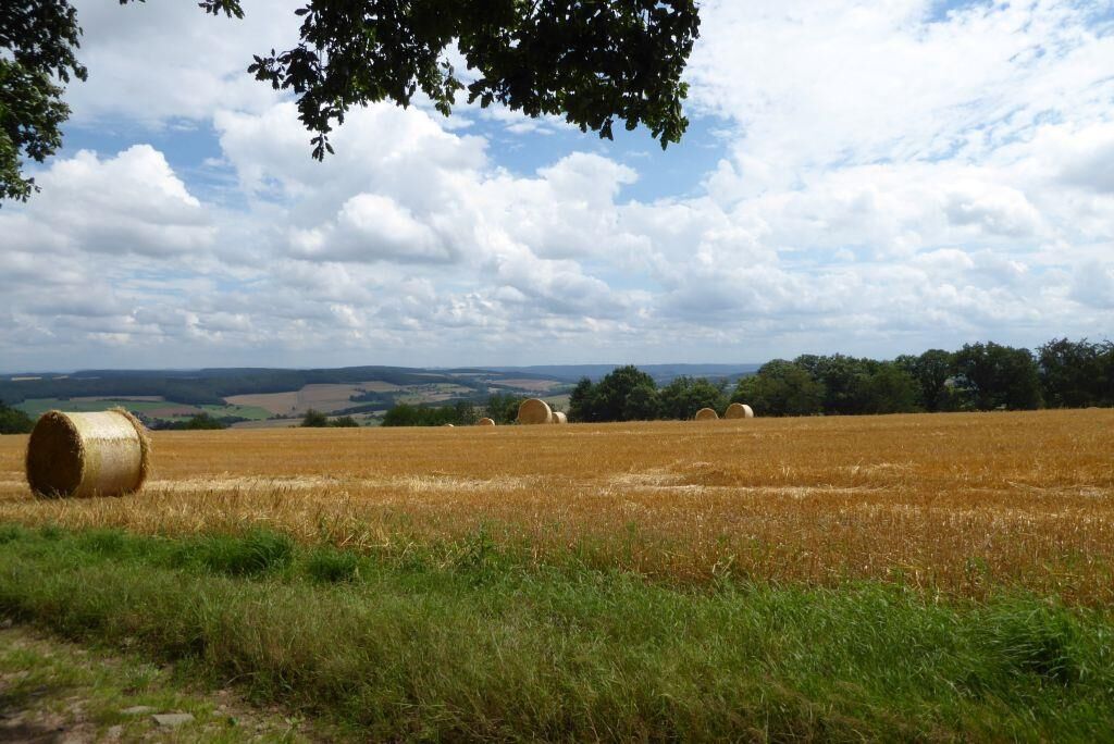
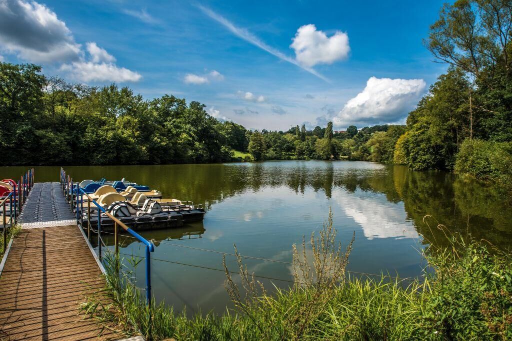
The Cherry Route owes its name to the countless cherry trees which transform the Kohlbach Valley into a sea of blossoms every spring. It connects the Glan and Oster rivers in Saarland via the heights of the western foothills of the North Palatine Uplands. Featuring a mix of cycle routes along the Kohlbach and an undulating climb to the high points of the Oster, this trail is the perfect way to explore the scenery in the extreme west of the Palatinate.
- Трудность
-
средний
- Оценка
-
- Маршрут
-
Schönenberg0,8 kmProtestantische Kirche0,9 kmPizzeria Taormina1,1 kmKübelberg1,8 kmPaulengrund3,3 kmPaulas Biergarten3,5 kmDittweiler5,3 kmAltenkirchen7,6 kmFrohnhofen10,2 kmBuberg (465 m)13,7 kmSelchenbach18,1 km
- Лучший сезон
-
янвфевмарапрмаяиюниюлавгсеноктноядек
- Самая высокая точка
- 463 m
- Место назначения
-
66606 Osterbrücken
- Профиль возвышения
-
 © outdooractive.com


- Автор
-
Тур Cherry Route используется outdooractive.com предоставлен.
GPS Downloads


Общие сведения
Закусочная
Флора
Многообещающий
Другие туры в регионах