


Trail no. 03: Colla Sgora - Colla Scarassan


Compared to trails 1 and 2, the landscape offers more alpine characteristics. The stretch between Colla Sgora e Testa d’Alpe is open with panoramic views. Whereas between Testa d'Alpe and Colle Scarassan,...
Compared to trails 1 and 2, the landscape offers more alpine characteristics. The stretch between Colla Sgora e Testa d’Alpe is open with panoramic views. Whereas between Testa d'Alpe and Colle Scarassan, you walk through dense coniferous forests. There is also a “lower route” with fewer ups and downs. This runs close to Margheria dei Boschi and Gola di Gouta.

When hiking the Ligurian Mountains High Route, mountain equipment is recommended.
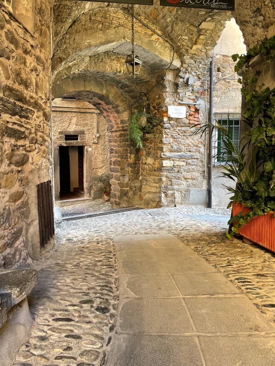
It is recommended to stock up on water and food before departure. Not all stops have refreshment or accommodation facilities along the route.
Updated schedules are recommended on the RIVIERA TRANSPORT SPA website at rivieratrasporti.it/orario-generale
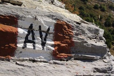
You cross the vast forests of T.ta d'Alpe. The Gouta forests are home to the most extensive stands of white spruce in Liguria. Also found there are: lodgepole pine, black hornbeam and, in the most favorable stations, holm oak. Due to their extent and relative integrity, these woods are home to interesting fauna, including the wild cat, marten, eagle owl, and black woodpecker.Along this stage one encounters numerous examples of military works of the Western Alpine Wall: roads, fortifications, barracks, and fountains built before World War II to defend the Italian border from a possible French attack.
Популярные экскурсии по окрестностям
-
Soldano
тяжелыйГорный велосипед 1,14 км -
Dh dolceaqua
среднийГорный велосипед 2,68 км -
Soldano DH /Enduro
тяжелыйГорный велосипед 0,92 км -
5,0
Goldtoni - Alpenbogen A103 Sospel-Refuge des Merveilles
среднийПешеходная тропа большой протяженности 33,5 км -
Trail no. 01: Ventimiglia - La Colla
среднийПоход 10,4 км -
IM_15 Laghetti del Rio Sgorela (Val Barbaira)
Поход 2,95 км -
IM_14 San Michele (train station) - Monte Grammondo
Поход 8,78 км -
IM_18 San Romolo – Monte Bignone
Поход 3,41 км -
IM_06 Il Sentiero degli Alpini
Поход 10,7 км -
IM_05 Colla Melosa – Monte Pietravecchia
Поход 4,10 км
Походы и трекинг


Не пропустите предложения и вдохновение для вашего следующего отпуска
Ваш адрес электронной почты был добавлен в список рассылки.