© Visit Guttland

© Visit Guttland

- Краткое описание
-
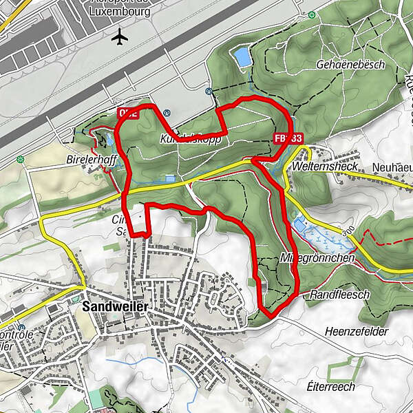
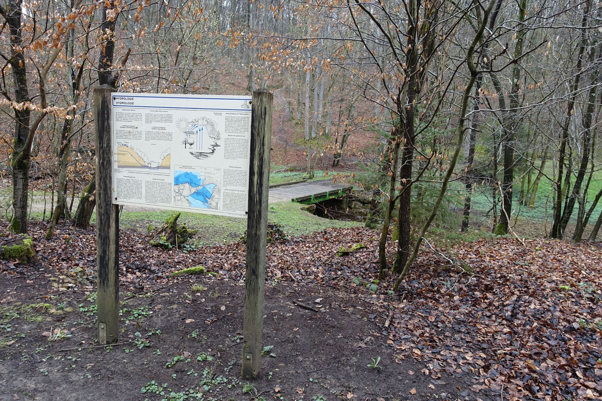
This short trail through the forest crosses the Rottsgronn to reach the Herel clearing and then the picturesque valley of Birelergronn before climbing back towards the Kundelskopp plateau.
- Трудность
-
несложный
- Оценка
-
- Маршрут
-
SandweilerHasselheck0,4 kmKundelskopp3,8 kmSandweiler5,0 km
- Лучший сезон
-
янвфевмарапрмаяиюниюлавгсеноктноядек
- Самая высокая точка
- 367 m
- Место назначения
-
Cemetery Sandweiler
- Профиль возвышения
-
 © outdooractive.com
- Автор
-
Тур Auto-pédestre trail Sandweiler используется outdooractive.com предоставлен.
GPS Downloads


Другие туры в регионах
-
Region Mosel
447
-
Sandweiler
90