


Bergsteig 1000 - Hüttersteig


Фотографии наших пользователей
-
 © Patrick FresenbergerСоздано на 19.04.2025
 -
 © Ina PetersСоздано на 26.09.2021
 -
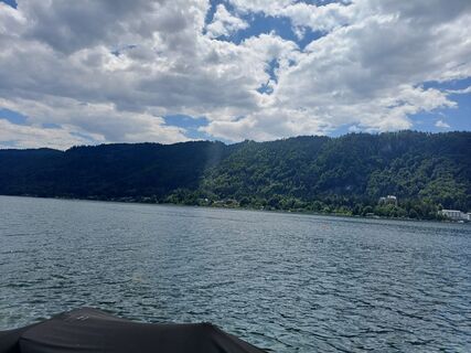
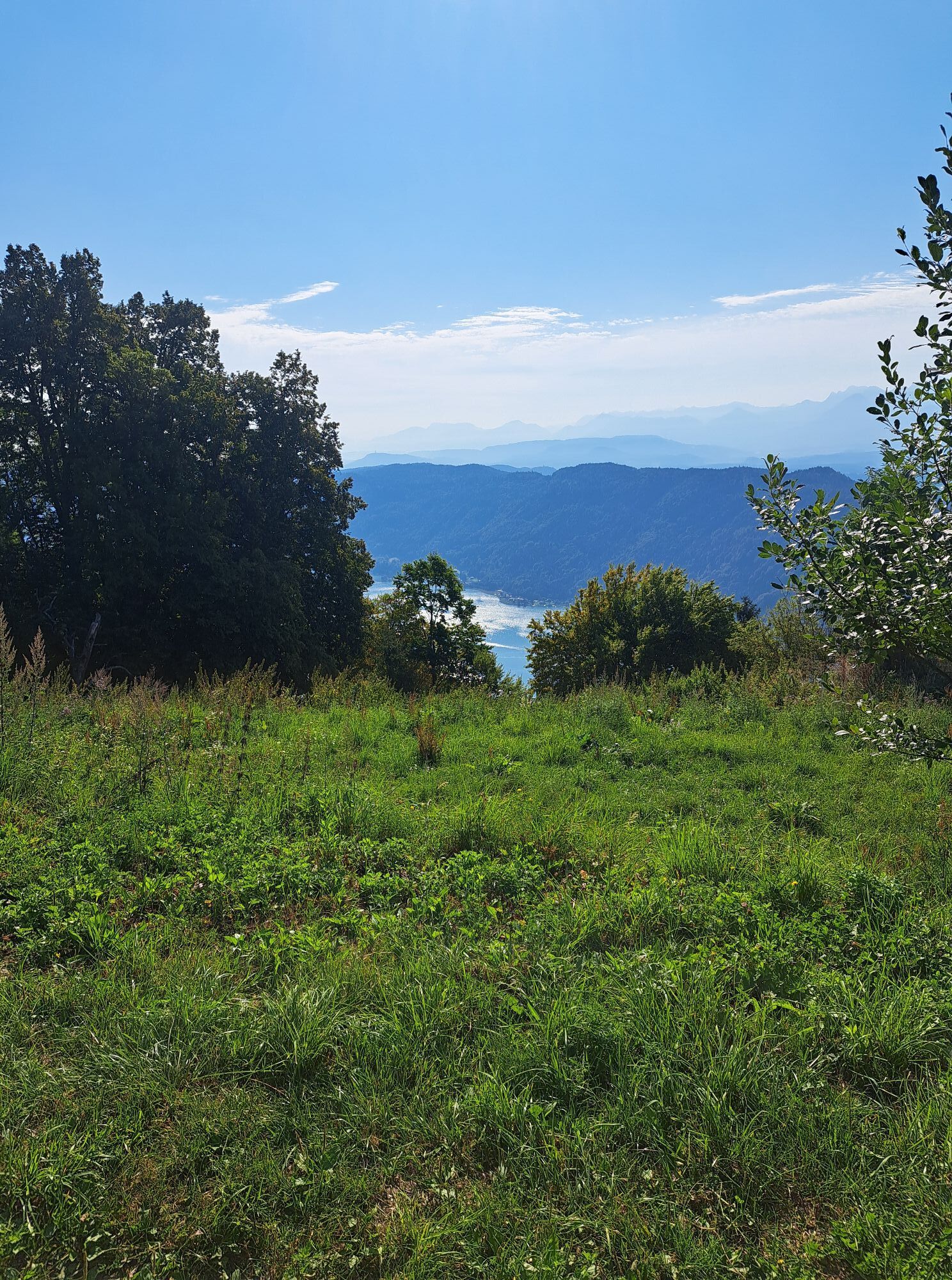
 © Christi AnСоздано на 17.09.2025
 -
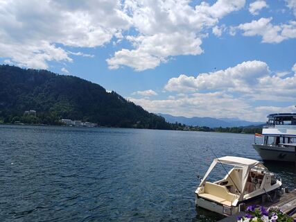
 © Christi AnСоздано на 17.09.2025
 -
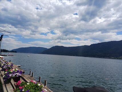
 © Christi AnСоздано на 17.09.2025
 -
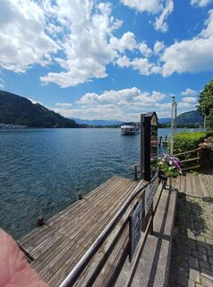
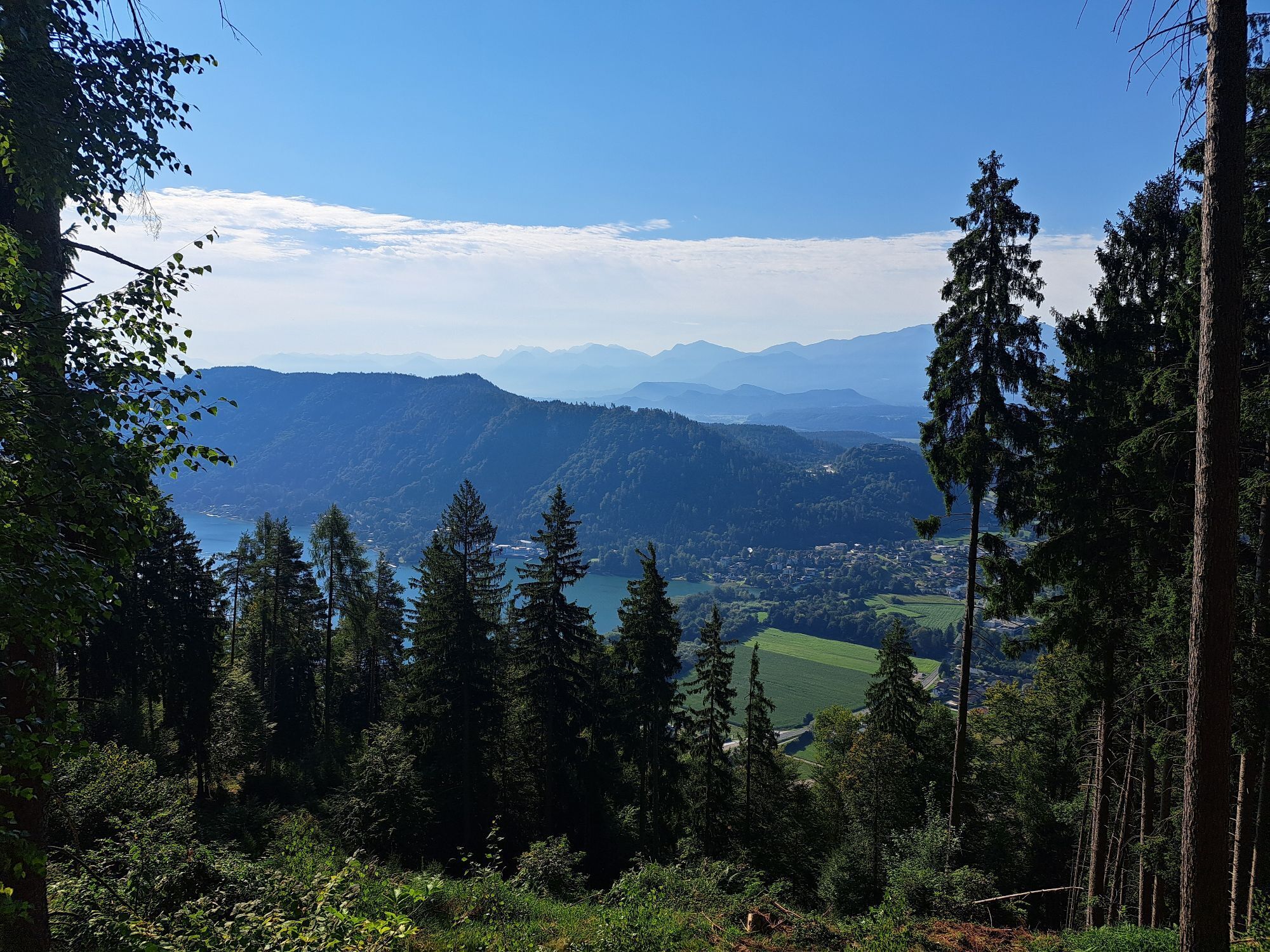
 © Christian GastagerСоздано на 12.09.2025
 -
 © Christian GastagerСоздано на 12.09.2025
 -
 © Christian GastagerСоздано на 12.09.2025
 -
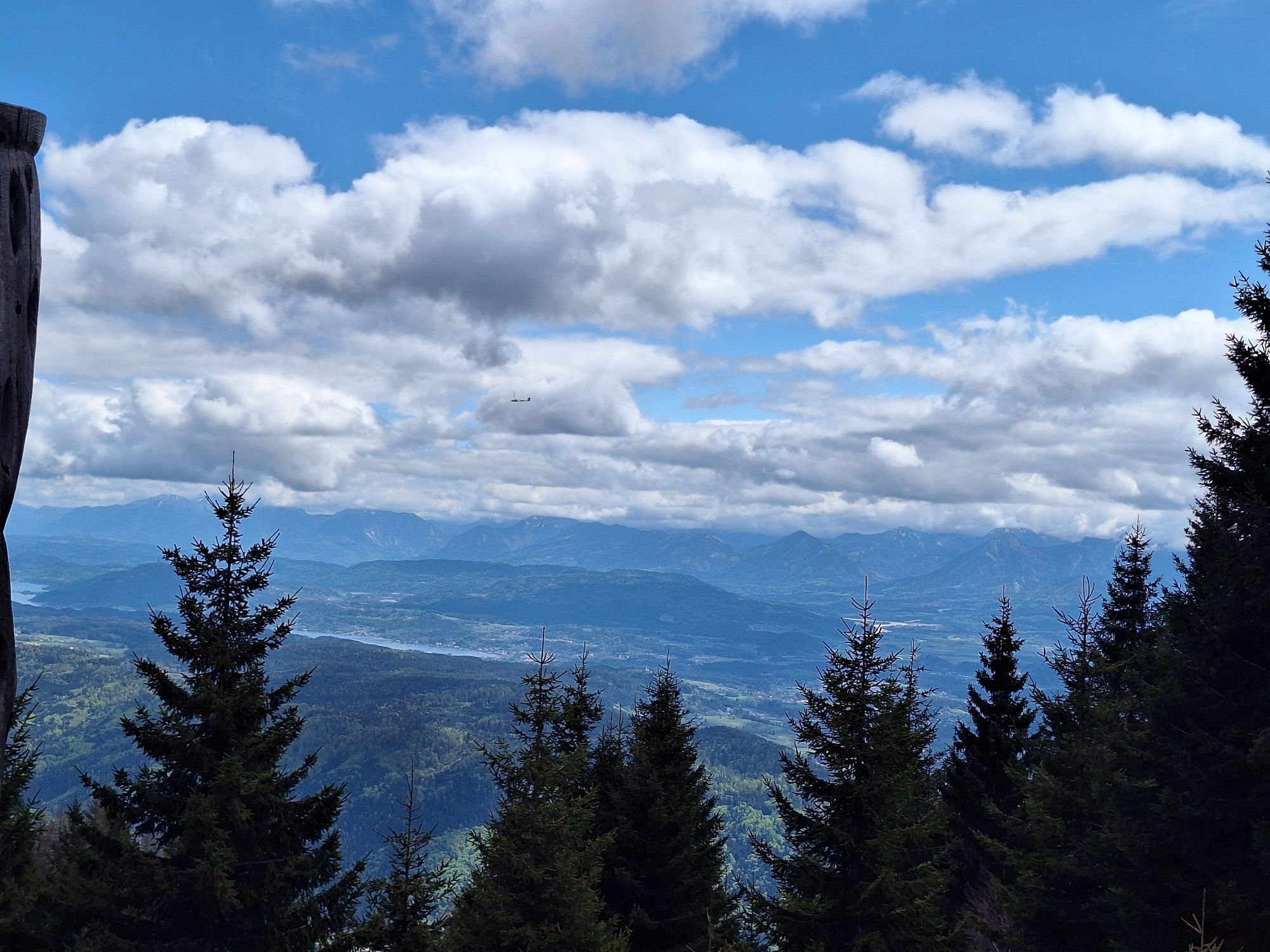
 © Peter OrascheСоздано на 27.08.2025
 -
 © Peter OrascheСоздано на 27.08.2025
 -
 © Peter OrascheСоздано на 27.08.2025
 -
 © Peter OrascheСоздано на 19.08.2025
 -
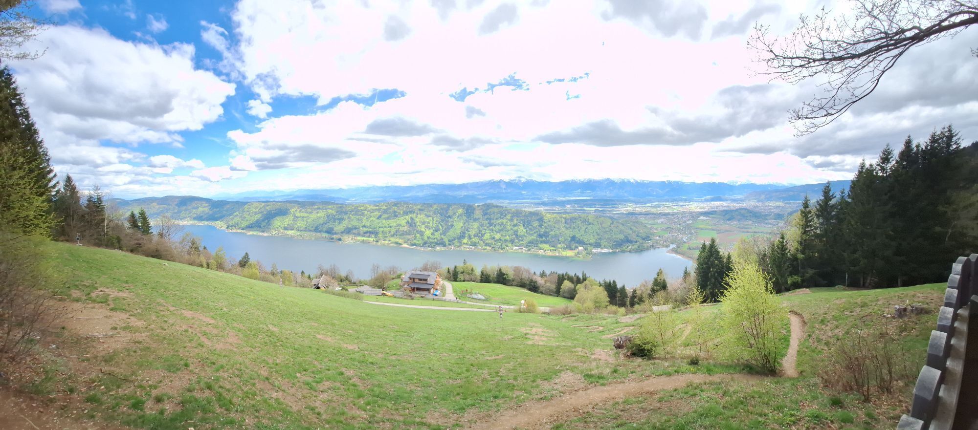
 © Peter OrascheСоздано на 06.06.2025
 -
 © Patrick FresenbergerСоздано на 19.04.2025
 -
 © Patrick FresenbergerСоздано на 19.04.2025
 -
 © Patrick FresenbergerСоздано на 19.04.2025
 -
 © Patrick FresenbergerСоздано на 19.04.2025
 -
 © Patrick FresenbergerСоздано на 19.04.2025
 -
 © Patrick FresenbergerСоздано на 19.04.2025
 -
 © Patrick FresenbergerСоздано на 19.04.2025
 -
 © Patrick FresenbergerСоздано на 19.04.2025
 -
 © Patrick FresenbergerСоздано на 19.04.2025
 -
 © Thomas Michalek 1Создано на 17.06.2023
 -
 © Thomas Michalek 1Создано на 17.06.2023
 -
 © Thomas Michalek 1Создано на 17.06.2023
 -
 © Thomas Michalek 1Создано на 17.06.2023
 -
 © Ina PetersСоздано на 14.08.2021


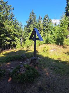
From the bus stop at the car park of the Gerlitzen cable cars in Annenheim, head towards the ticket area. Diagonally opposite starts the so-called "Bergsteig 1000" (path no. 34A) to Ossiachberg. The ascent is continuously marked and signposted.
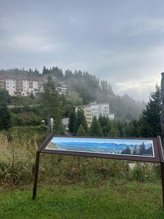
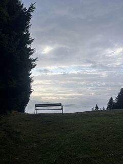
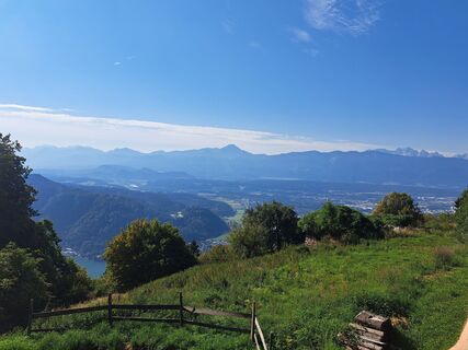
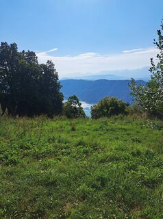
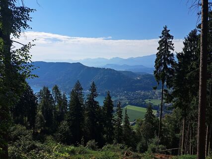
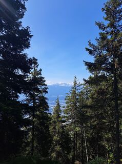
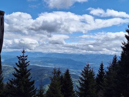
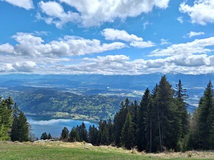
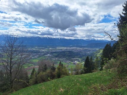
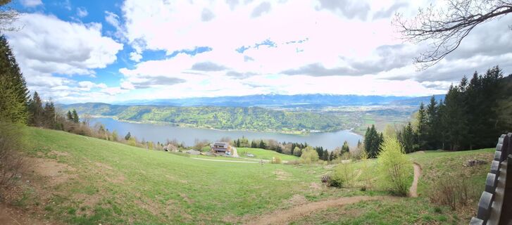
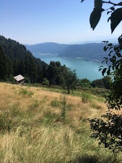
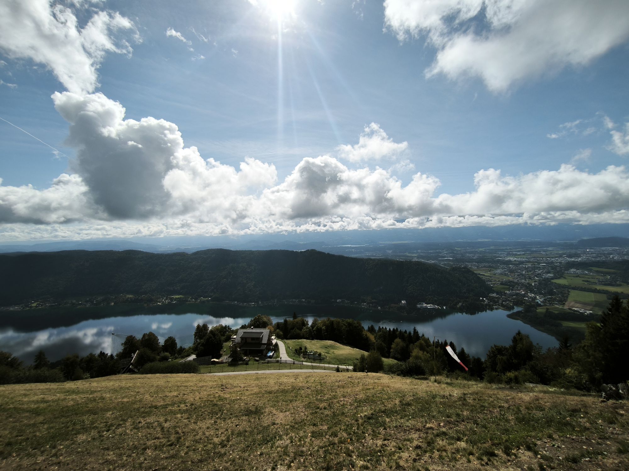
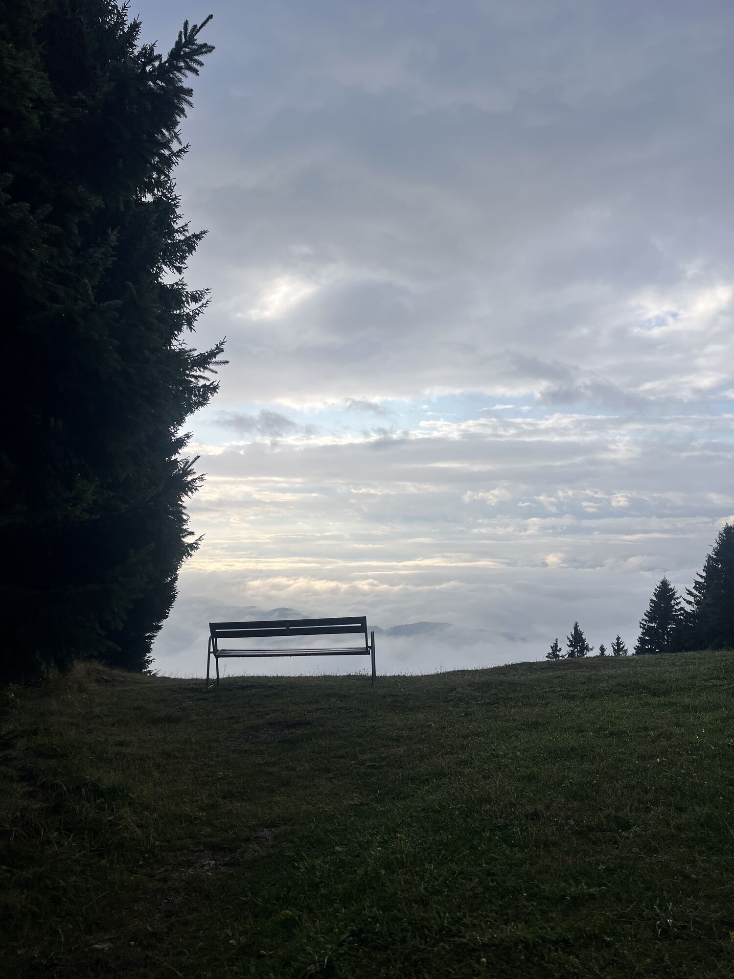
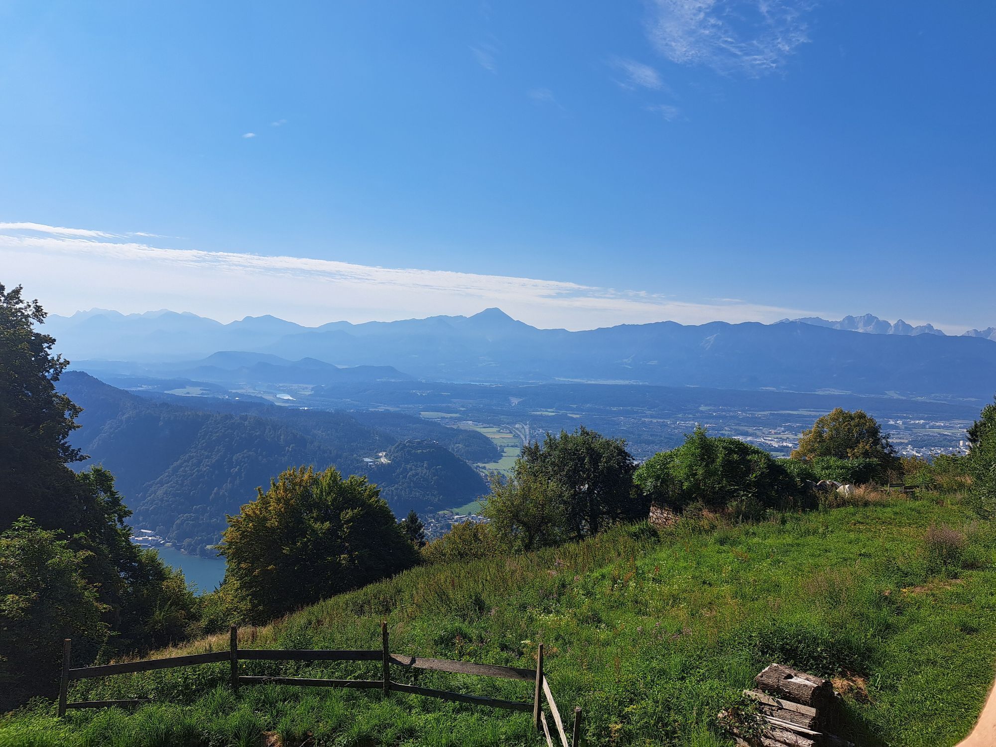
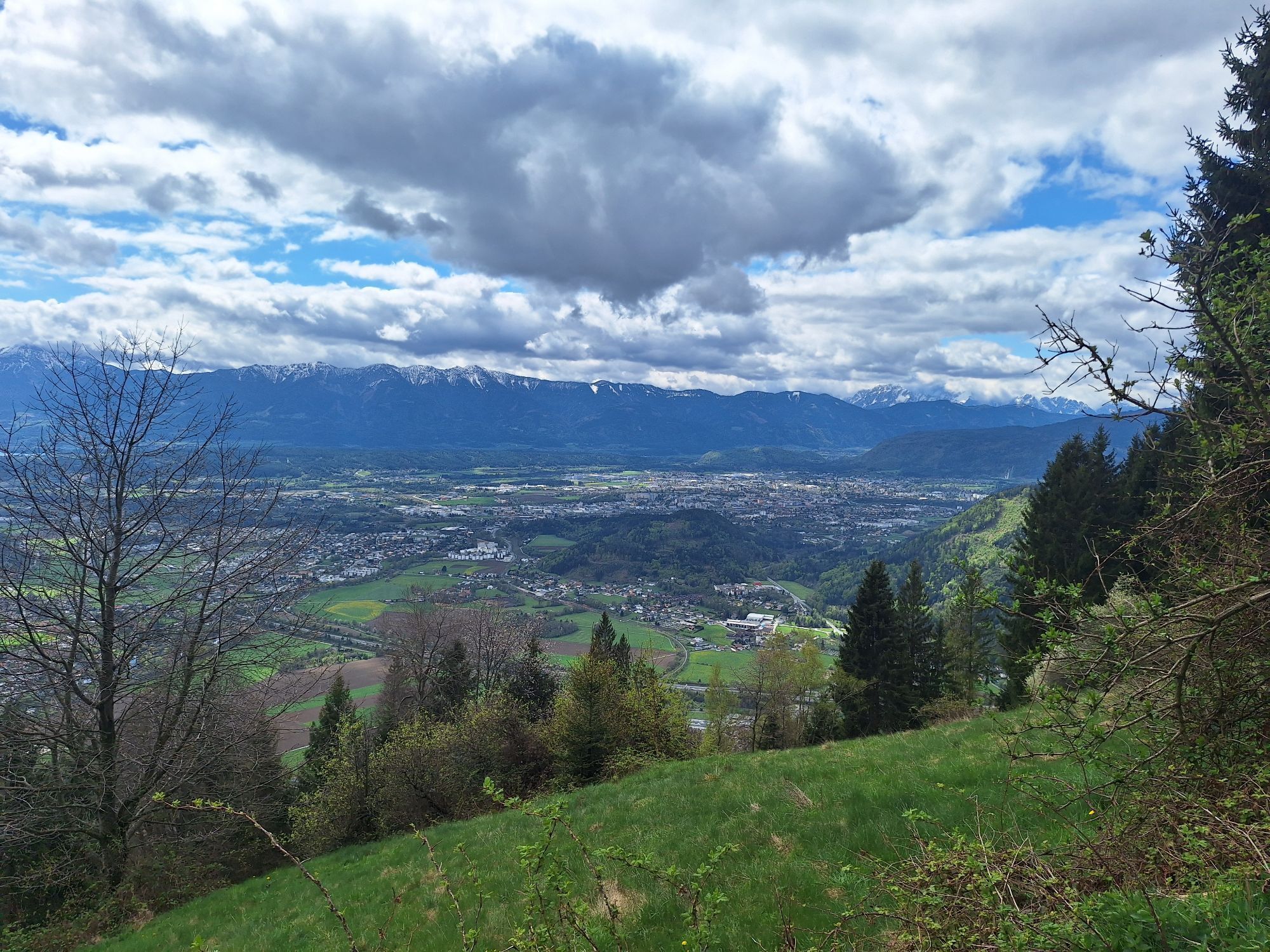
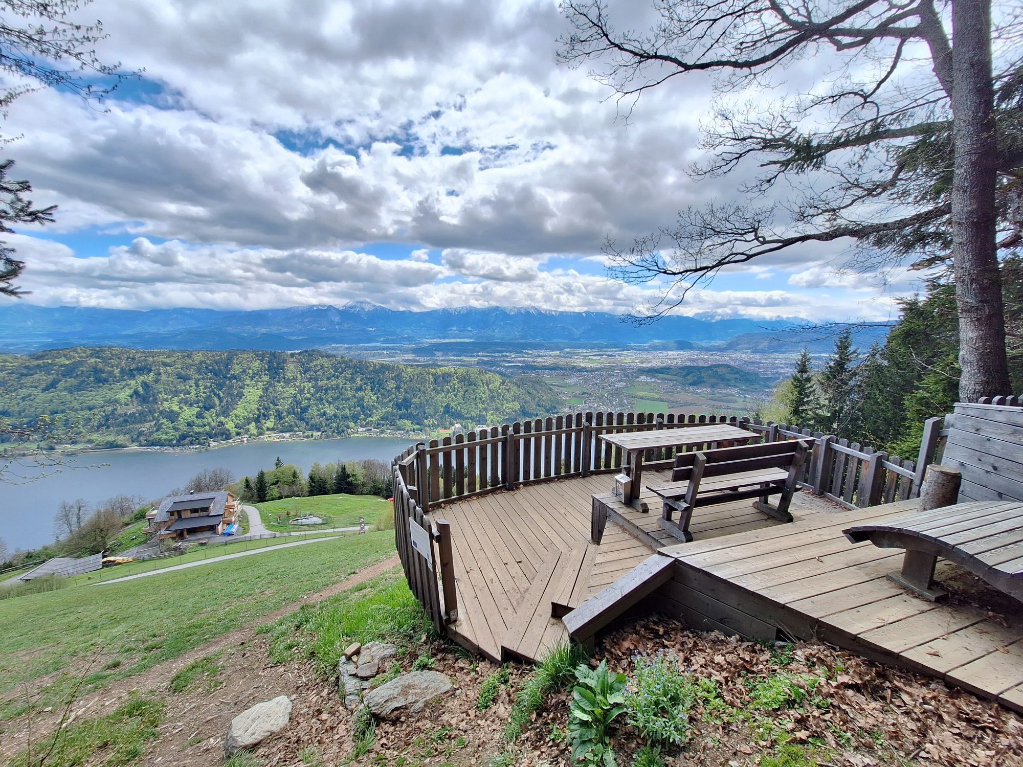
At Ossiachberg, path no. 34A merges into path no. 34 - which starts in Sattendorf - at the hairpin bend below the paragliders' starting area. Path no. 34 now leads in numerous hairpin bends directly over the airfield to the upper edge of the forest, where a platform with a brilliant panoramic view interrupts the sweaty ascent. This is truly a place for a short rest.
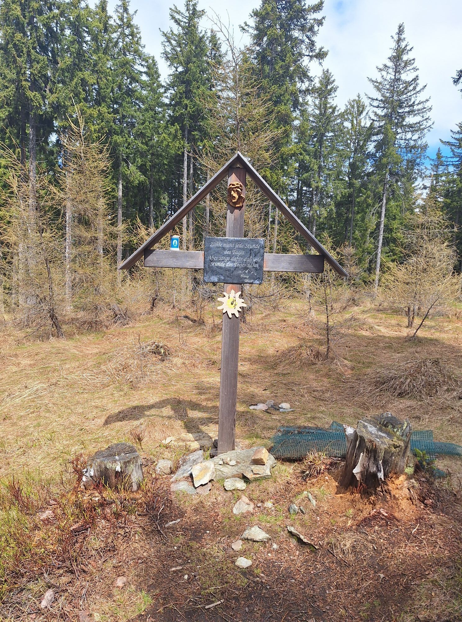
Further up, the MTB single trail "PROlitzen" is crossed several times. The so-called Grüneben (spring capture) offers a sunny, flat spot for a drinking break (no fountain on site) before tackling the last steep sections towards Kanzelhöhe. On the way, the route of the Kanzelbahn is crossed once before the trail merges into the Wallack Steig. The Wallack Steig was planned by Hofrat Dipl.-Ing. Franz Friedrich Wallack (* August 24, 1887 in Vienna; † October 31, 1966), a civil engineer and builder of the Großglockner High Alpine Road.
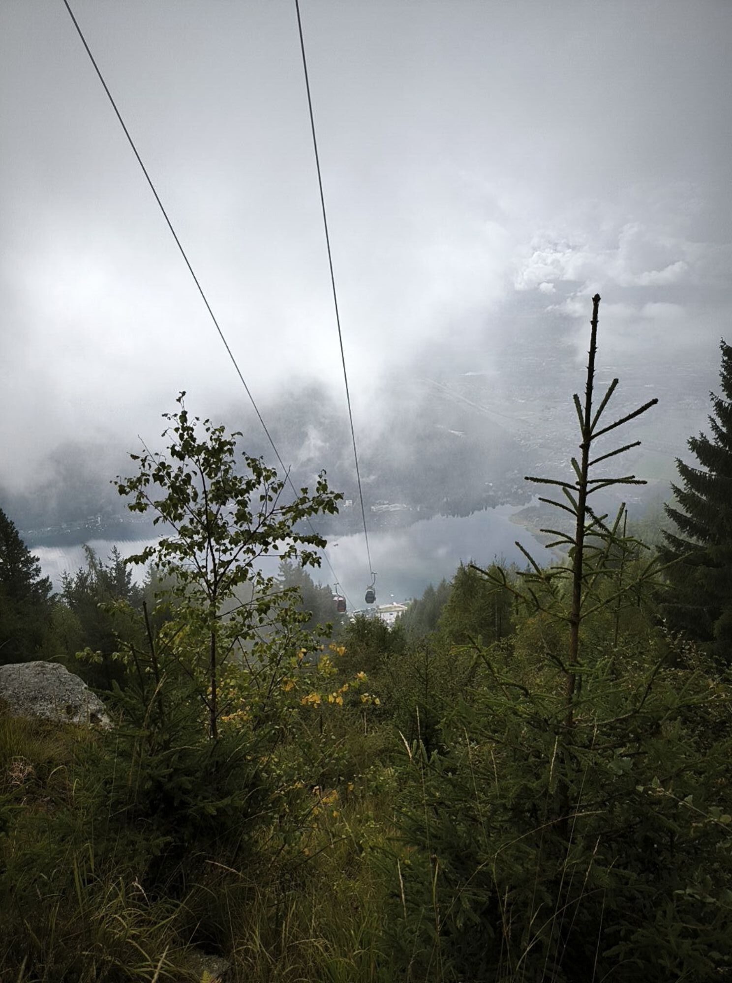
With a gentle slope, the last hairpin bends lead directly to the old top station of the Kanzelbahn, where path no. 34 also meets the popular ÖAV path no. 176. Follow this briefly eastward and then leave it again in the area of the Kanzelbahn route. After a few steps and bends along the lift supports, you reach the elevation 1000 near the geographical high point Kanzelhöhe at the observatory.
You can now choose to hike up to the summit of the Gerlitzen or walk along the reached asphalt road towards "Die Kanzlerin". The road leads to the car park on Kanzelhöhe, joining path no. 176. Follow the signs to Hütter up to the Julienhöhe at 1,361 m, where you turn again to the south side and begin the descent to the former hunting lodge Hütter.
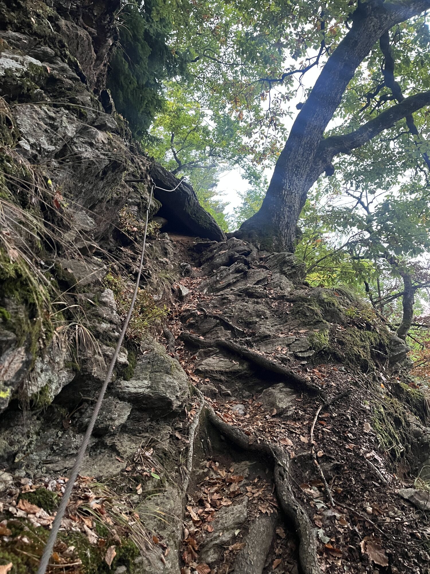
The last section down to Annenheim requires concentration and surefootedness in some slightly downhill and exposed places. You reach Annenheim at the hairpin bend of the promenade path. Then just a few more meters down to the B94 Ossiacherstraße and continue eastward within a few minutes' walk to the starting point of the round trip.
Mountain boots with tread sole, backpack, functional underwear, rainwear, trekking poles, food and drink, maps, first aid kit, mobile phone and binoculars
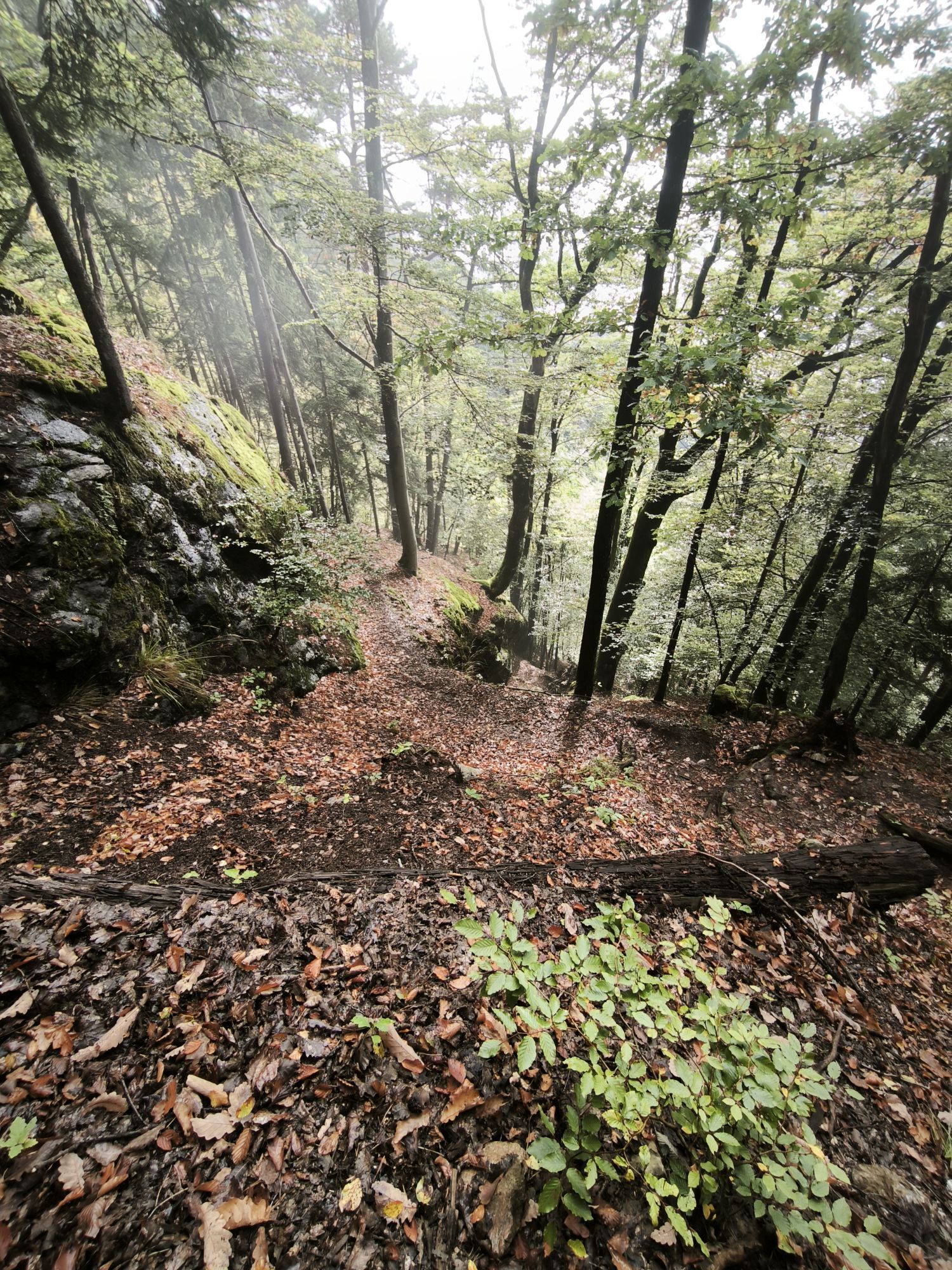
The ascents and descents are demanding and require not only very good fitness but also surefootedness on changing terrain (roots and rock passages, leaves, etc.), especially under difficult conditions (wet, icy, muddy, frozen ground, etc.) according to the season.
Annenheim is best reached via the A10 exit "Villach-Ossiacher See".
Annenheim is regularly accessible by public transport.
There are sufficient parking spaces available in the valley area.
The route was deliberately designed counterclockwise, so that the majority of the steeper sections must be mastered on the ascent. As a joint-friendly alternative to the descent, taking the Kanzelbahn cable car down is recommended.
Веб-камеры во время экскурсии
-
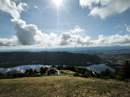
Gerlitzen Gipfel
-
Gerlitzen Gipfel
-
Gerlitzen Gipfel
-
Gerlitzen Gipfel
-
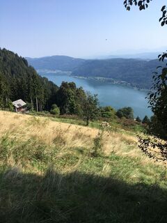
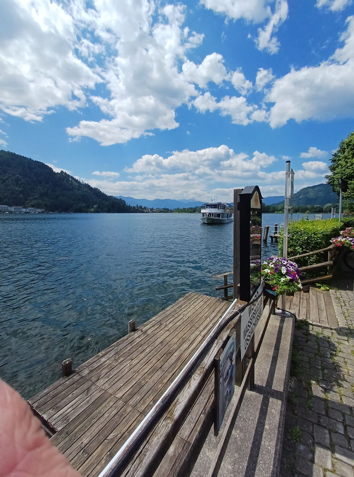
Annenheim/Ossiacher See
-
Landskron
-
Villach - Friedensbrücke
-
Gerlitzen Gipfel
-
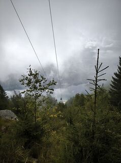
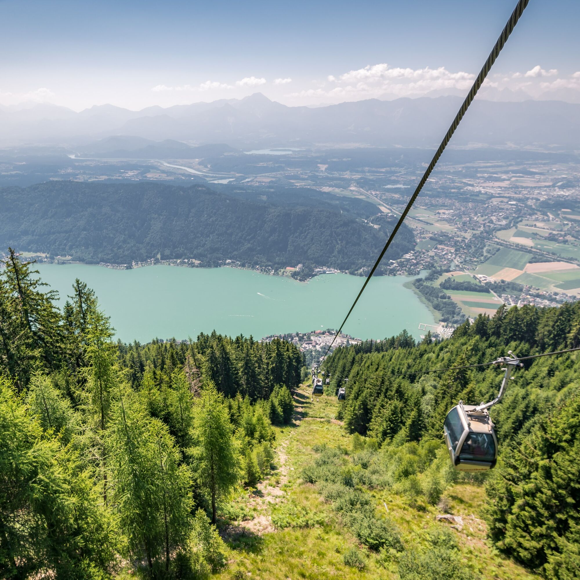
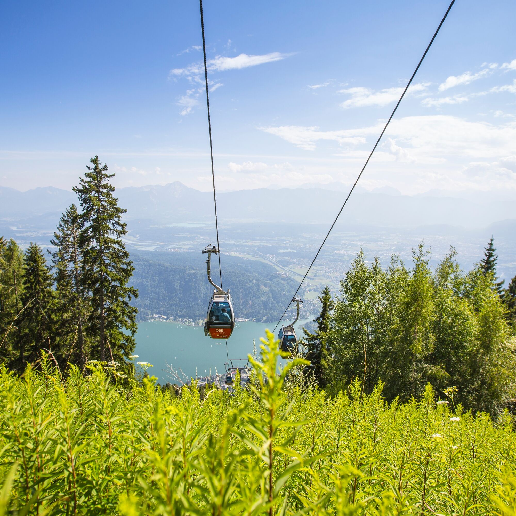
Gerlitzen Mittelstation Kanzelhöhe
-
Gerlitzen Mittelstation Kanzelhöhe
-
Gerlitzen Mittelstation Kanzelhöhe
-
Gerlitzen Mittelstation Kanzelhöhe
-
Observatorium Kanzelhöhe
-
Observatorium Kanzelhöhe
-
Observatorium Kanzelhöhe
-
Observatorium Kanzelhöhe
-
Observatorium Kanzelhöhe
-
Observatorium Kanzelhöhe
-
Observatorium Kanzelhöhe
-
Observatorium Kanzelhöhe
-
Ossiacherberg
-
Neugarten Talstation 8er-Carving-Jet
Популярные экскурсии по окрестностям
-
3,6
Forstsee Runde
светПоход 4,26 км -
4,6
Rotschitza Klamm Klettersteig B/C
среднийВиа феррата 3,73 км -
4,4
Finsterbach Waterfalls - Circular route
среднийПоход 3,87 км -
3,9
Faakersee Rundweg
светПоход 9,55 км -
3,3
Around Lake Ossiach
среднийВелоспорт 68,7 км -
3,8
Lake Ossiach cycle path - R2 and R2A
среднийВелоспорт 28,2 км -
4,0
Slow Trail Bleistätter Moor
светПоход 7,22 км -
4,4
Panorama trail Schwarzsee - Palnock
среднийПоход 11,9 км -
4,9
4 Huts Tour
среднийПоход 8,96 км -
3,9
Schwarzsee circular hiking trail
среднийПоход 7,79 км
Походы и трекинг


Не пропустите предложения и вдохновение для вашего следующего отпуска
Ваш адрес электронной почты был добавлен в список рассылки.