

© Interlaken Tourismus - Mike Kaufmann

© Interlaken Tourismus - Mike Kaufmann

© Interlaken Tourismus - Mike Kaufmann

- Краткое описание
-
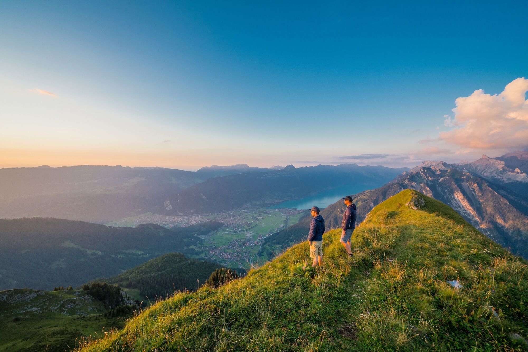
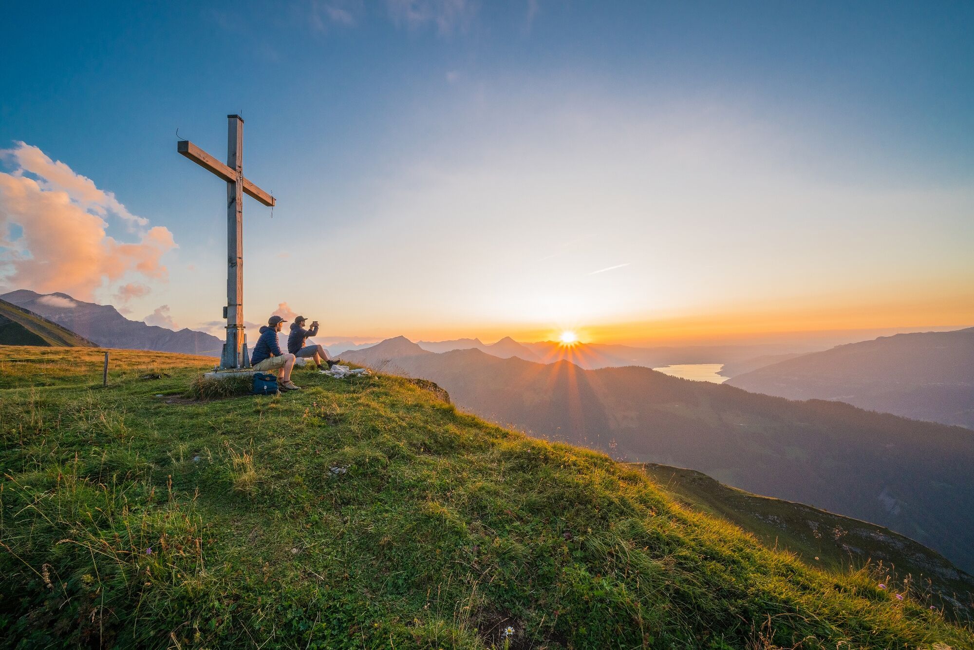
Mountain hiking trail from Nessleren/Underberg. Very rewarding ascent through the Saxettal valley floor across alpine meadows resplendent with flowers to the flank of the Sulegg and over the saddle between Bällenalp and Sylertal to one of the most beautiful vantage points anywhere in the Jungfrau Region, the Bällehöchst. The descent is no less impressive, past the dreamy Sulsseewli with its magnificent reflection. This varied tour concludes with a forest hike down to Isenfluh, situated on a panoramic terrace. The first 1 km of the trail is on a paved surface.
- Трудность
-
средний
- Оценка
-
- Маршрут
-
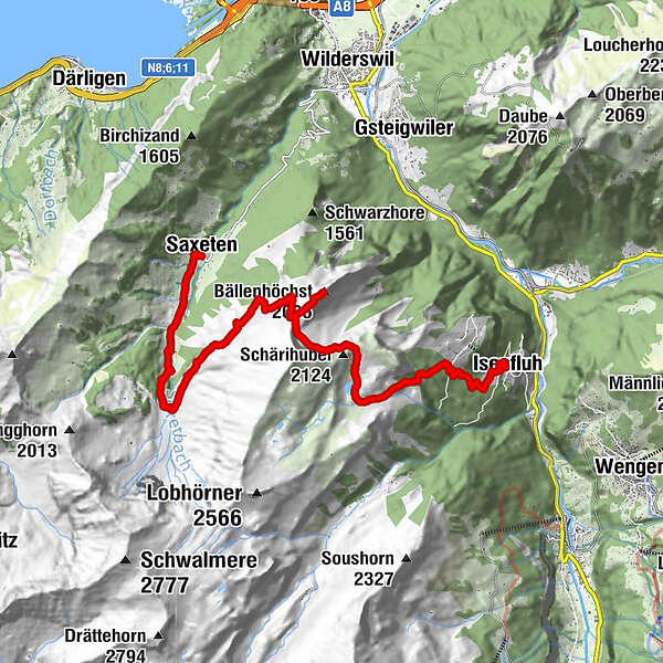
Saxeten (1.101 m)0,0 kmSkpintli0,6 kmInnerfeld0,6 kmBällenhöchst (2.095 m)7,7 kmBergherrenhaus12,4 kmAuf dem Rauft14,1 kmGärten14,4 kmBeim Brunnen14,4 kmIsenfluh14,4 kmBeim Schulhaus14,4 kmGassen14,4 kmBoden14,4 kmRestaurant Waldrand14,5 kmAuf der Matte14,5 km
- Лучший сезон
-
янвфевмарапрмаяиюниюлавгсеноктноядек
- Самая высокая точка
- 2.093 m
- Место назначения
-
Isenfluh
- Профиль возвышения
-
 © outdooractive.com

-

-
АвторТур To the Bällehöchst viewpoint используется outdooractive.com предоставлен.
GPS Downloads


Общие сведения
Многообещающий
Другие туры в регионах
-
Oberwallis
1872
-
Interlaken
1099
-
Wilderswil - Saxeten
497


