- Краткое описание
-
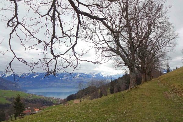
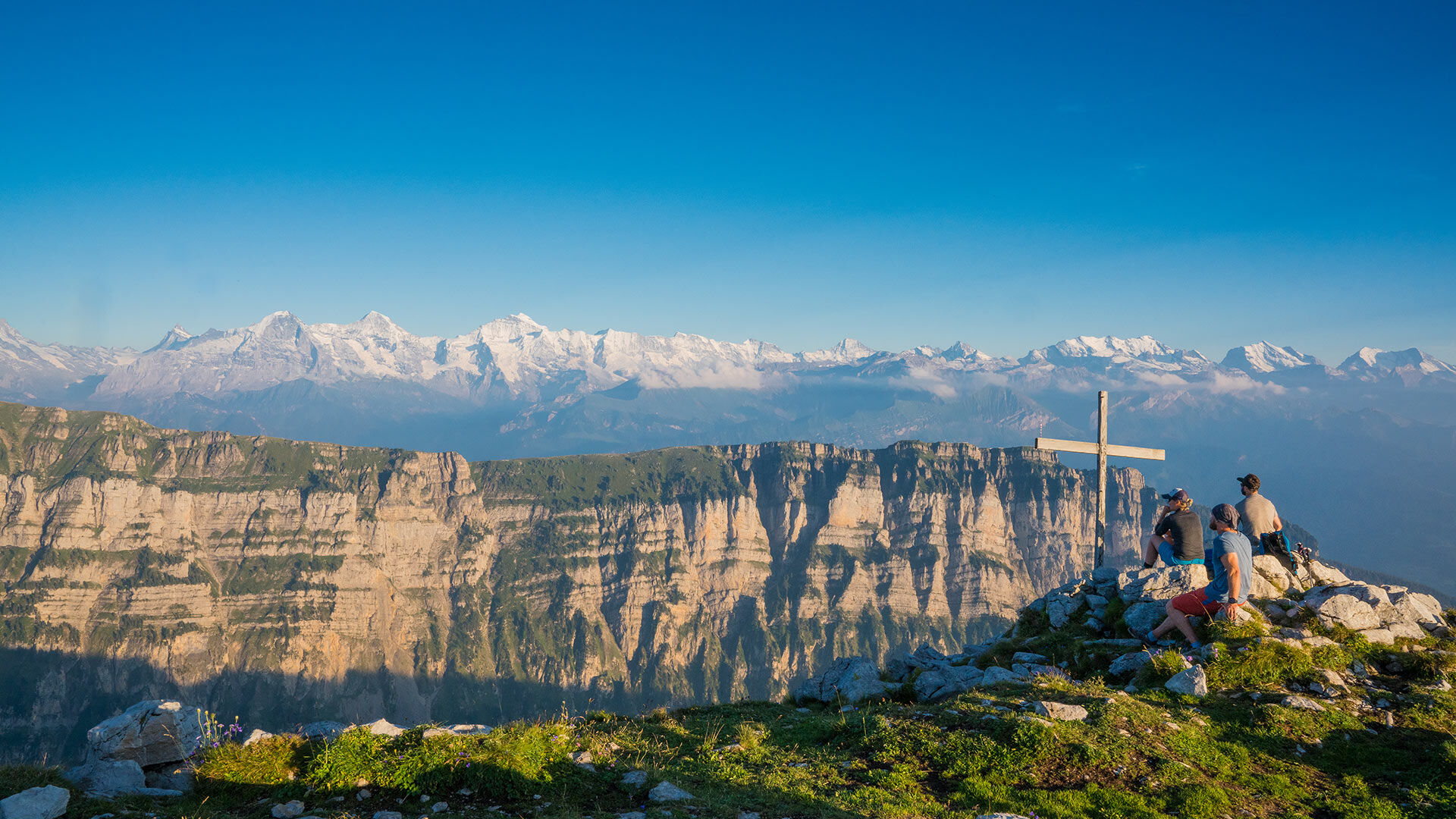
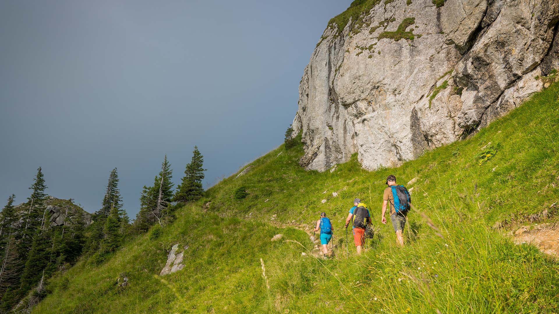
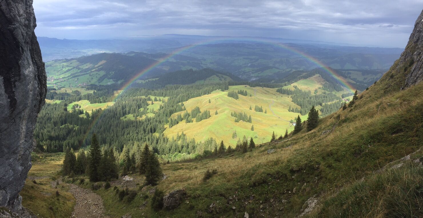
This route takes hikers through a hilly landscape of forests and alpine meadows up to the steep limestone cliffs of the Sigriswiler Rothorn mountain chain. Here the view stretches far and wide to the Jura and to the many fourthousand metre peaks of the Bernese Oberland.
- Трудность
-
средний
- Оценка
-
- Маршрут
-
SchwandenSchafloch4,0 kmSchwanden11,6 km
- Лучший сезон
-
янвфевмарапрмаяиюниюлавгсеноктноядек
- Самая высокая точка
- 2.037 m
- Место назначения
-
Schwanden Säge
- Профиль возвышения
-
 © outdooractive.com


- Автор
-
Тур Sigriswiler Rothorn используется outdooractive.com предоставлен.
GPS Downloads


Общие сведения
Внутренний совет
Многообещающий