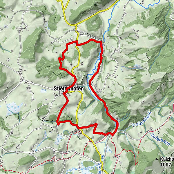
To the well of the Upper Argen - around Stiefenhofen - Westallgaeu waterway 21


© Thomas Gretler

© Thomas Gretler

© David Knipping

© Westallgäu Tourismus

© Westallgäu Tourismus
")
- Краткое описание
-
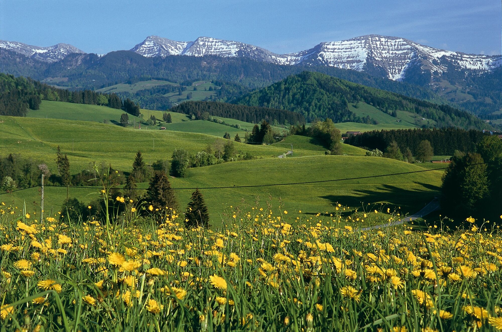
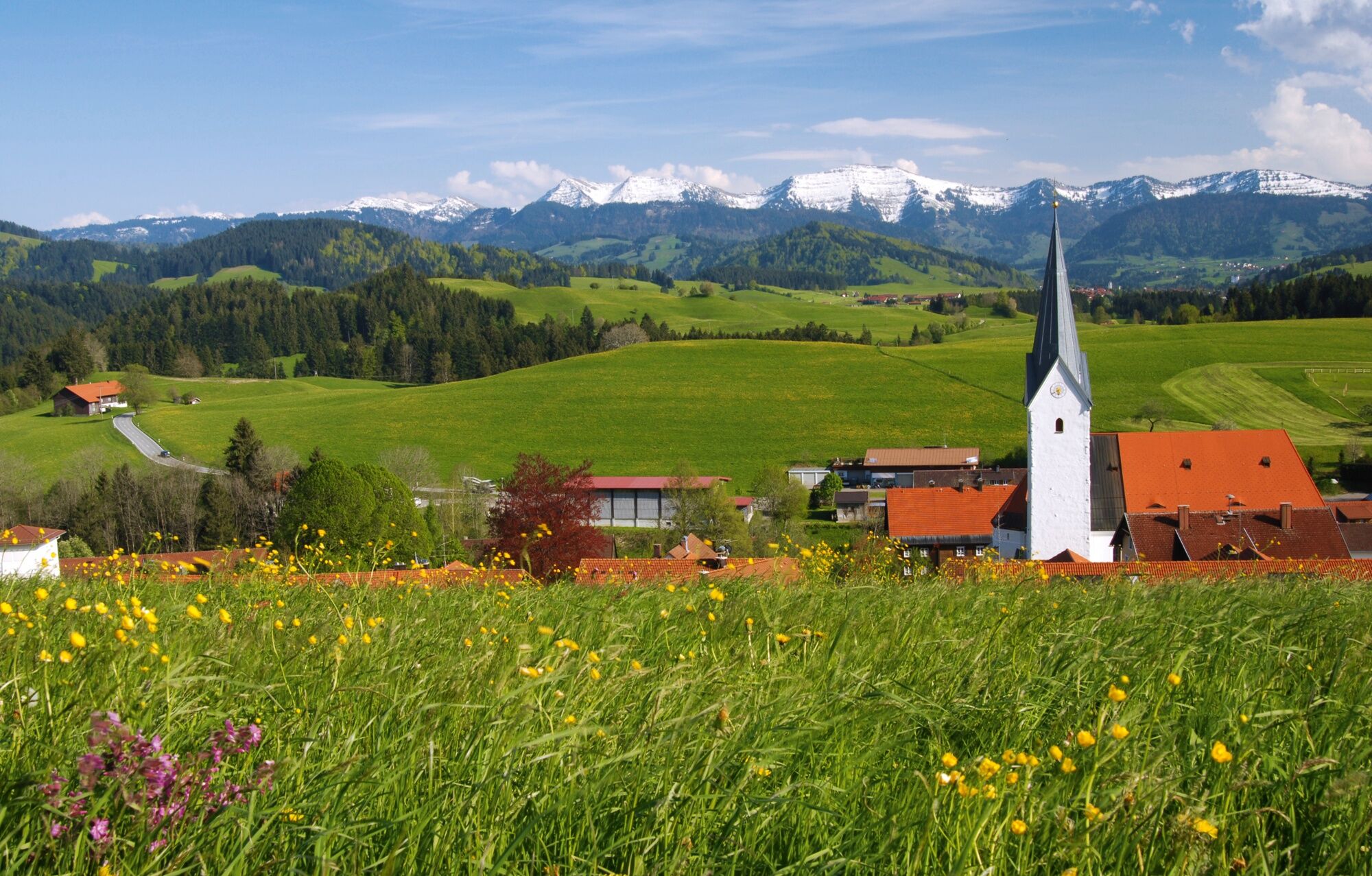
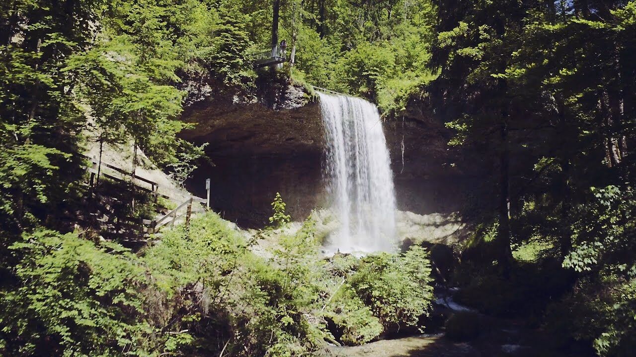
The varying half-day-hike doesn't lead you just to the well of the Upper Argen, but also to former mills and saw mills. Partially, wood is still cut there or electricity is still generated by small power stations.
- Маршрут
-
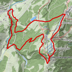
St. Martin0,0 kmRössle0,0 kmStiefenhofen0,1 kmRanzenried1,2 kmWolfsried2,9 kmOberthalhofen5,4 kmUnterthalhofen6,1 kmJungensberg6,4 kmHarbatshofen7,6 kmStiefenhofen9,7 kmSt. Martin9,8 km
- Самая высокая точка
- 833 m
- Место назначения
-
Ending point: parking at the festival hall of Stiefenhofen.
- Профиль возвышения
-
 © outdooractive.com
- Автор
-
Тур To the well of the Upper Argen - around Stiefenhofen - Westallgaeu waterway 21 используется outdooractive.com предоставлен.
GPS Downloads


Общие сведения
Культура/Исторический
Многообещающий
Другие туры в регионах
-
Allgäu
2357
-
Westallgäu
1263
-
Stiefenhofen im Allgäu
591