


Le Mont


Just a few steps take you beyond the Sollières town centre, onto a gently sloping countryside path. You'll probably come across some placid horseriders. Gradually, turn after turn, the ascent leads you...
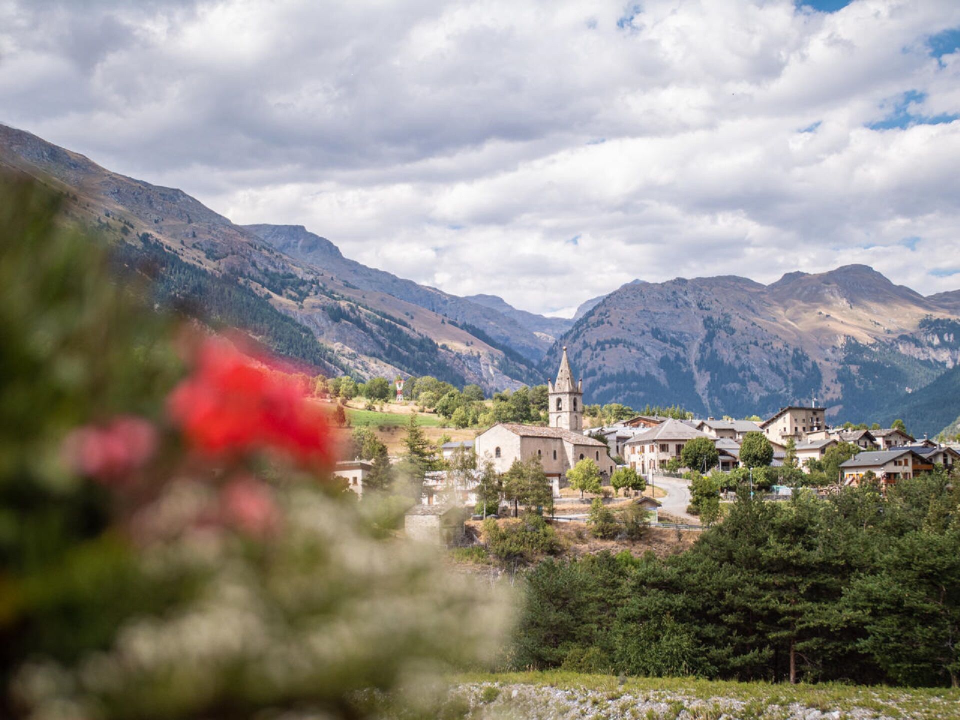
Just a few steps take you beyond the Sollières town centre, onto a gently sloping countryside path. You'll probably come across some placid horseriders. Gradually, turn after turn, the ascent leads you to a trail that's discreetly indicated by a cairn on your left. Enter the fragrant pine forest and weave your way between its Scots pines. Have you ever heard cones snap under the sun's rays?
Step out of the shadows into the light in the clearing of Le Mont. It's an enchanting place for a nap or a rest. Lulled by the crickets' song, enjoy the moment. At the gates of Vanoise National Park, you've got front row seats to admire the breathtaking panoramic views of the valley. Mont Froid and Signal du Petit Mont Cenis are revealed in all their glory, as they seem to hang in mid-air.
The trail winds its way back straight down from La Loza, inciting you to race downhill. Step by step, you come back to earth, feeling like you've been in another world.

Pour vous guider sur le terrain, consultez le schéma directionnel « pas à pas » fourni en pdf.
The duration of hiking trails is calculated using reference paces: 300 m/h ascent, 500 m/h descent and 4 km/h on the flat.
As hazards may occur at any time on the routes, the GPX tracks provided are not contractual. They are given for information only. Riders use them at their own risk, depending on their level of technological proficiency and their understanding of the terrain.
Веб-камеры во время экскурсии
Популярные экскурсии по окрестностям
-
Refuge du Fond d'Aussois - a wild valley in the Vanoise - 2-day hike
светПоход 9,24 км -
The White Lake
светПоход 4,42 км -
Col du Mont Cenis from Lanslebourg
тяжелыйДорожный велосипед 9,84 км -
Sentier pédestre des Sculptures - Land Art Montagne
светтематический маршрут 5,16 км -
Col du Mont Cenis from Modane
тяжелыйДорожный велосипед 34,8 км -
BARDONECCHIA Rochemolles Dam - Scarfiotti Refuge
среднийПоход 7,77 км -
Little ascent of Plan d'Aval
тяжелыйДорожный велосипед 6,37 км -
4. Day
светПоход 11,0 км -
2. Dag
светПоход 5,86 км -
5,0
Goldtoni - Alpenbogen A068 Refuge de la Leisse-Termignon Val Cenis
среднийПешеходная тропа большой протяженности 28,7 км
Походы и трекинг


Не пропустите предложения и вдохновение для вашего следующего отпуска
Ваш адрес электронной почты был добавлен в список рассылки.